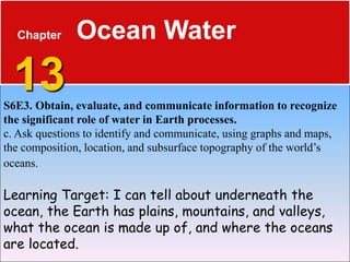
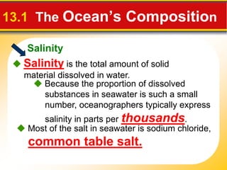
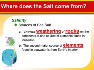
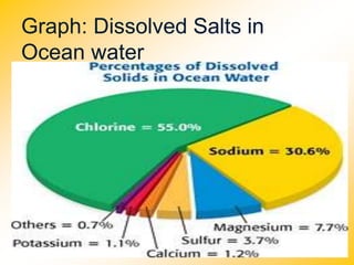
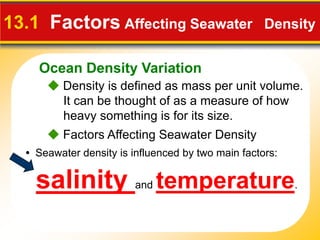
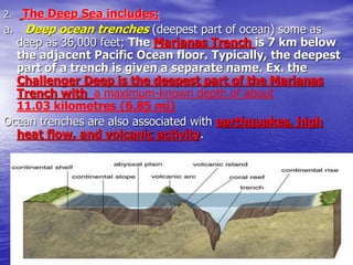
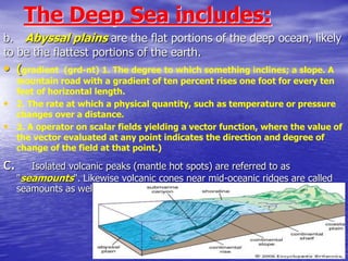
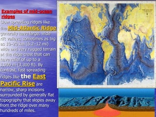
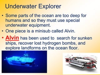
The document provides information about ocean water and oceanography. It discusses the following key points in 3 sentences:
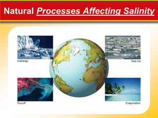
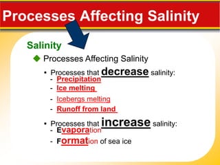
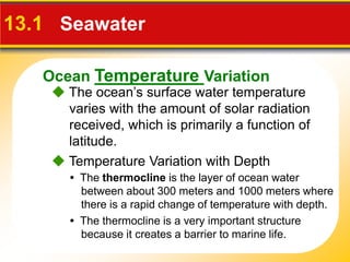
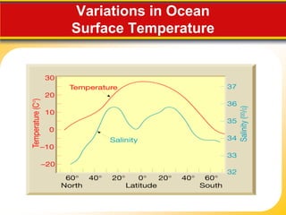
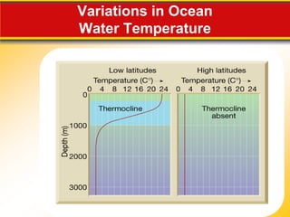
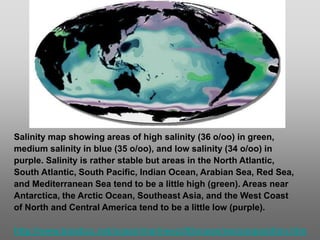
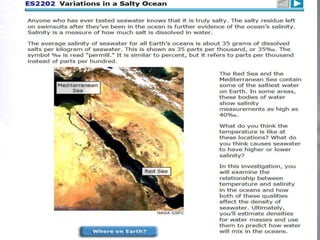
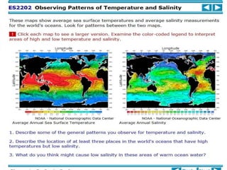
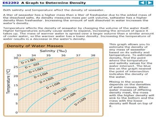
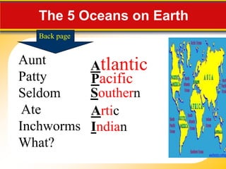
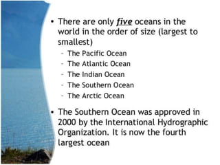
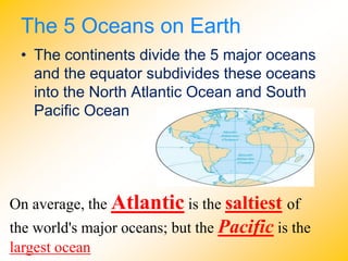
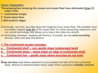
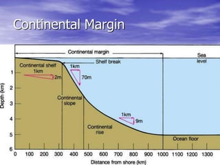
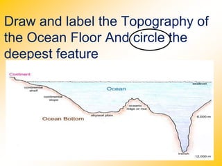
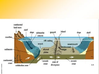
The ocean is composed primarily of saltwater, with salinity varying due to natural processes like evaporation, precipitation, and melting ice. There are 5 major oceans - Atlantic, Pacific, Indian, Southern, and Arctic. Ocean topography includes continental margins with shelves, slopes, and rises, as well as abyssal plains, underwater trenches, seamounts, and mid-ocean ridges.


![3 25 2015 severe weather ppt 014[1] with notes](https://cdn.slidesharecdn.com/ss_thumbnails/3252015severeweatherppt0141withnotes-150324083133-conversion-gate01-thumbnail.jpg?width=640&height=640&fit=bounds)


