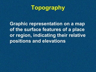
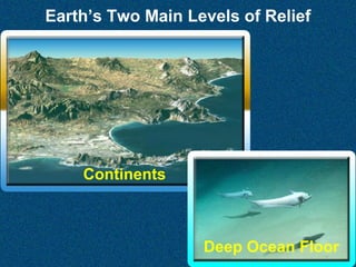
This document provides an overview of undersea landscapes and ocean floor geography. It discusses key topics like:
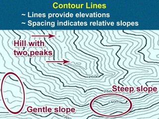
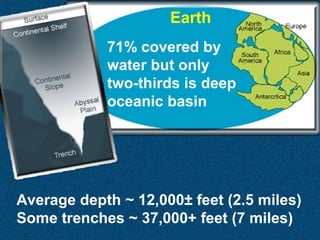
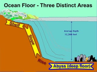
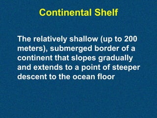
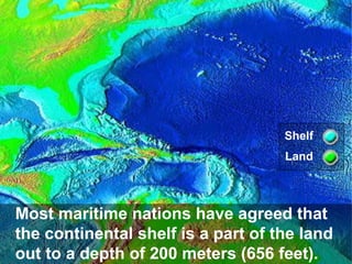
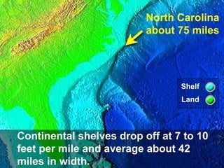
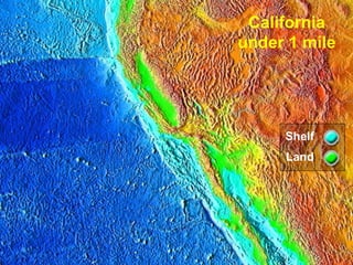
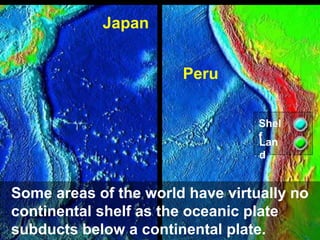
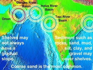
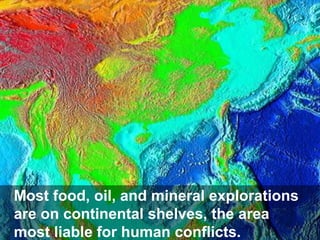
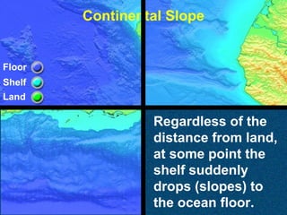
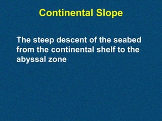
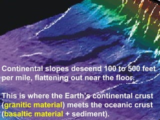
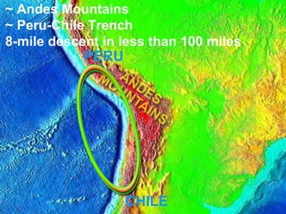
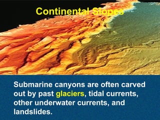
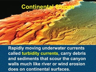
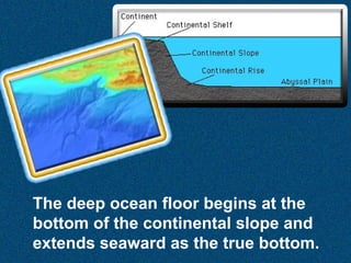
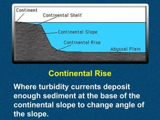
- The three main areas of the ocean floor: continental shelves, continental slopes, and the deep ocean basin. Continental shelves typically extend 200 meters from shore and have a gradual slope. Continental slopes have a steep drop-off to the deep ocean floor.
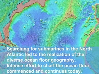
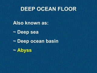
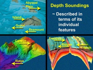
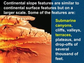
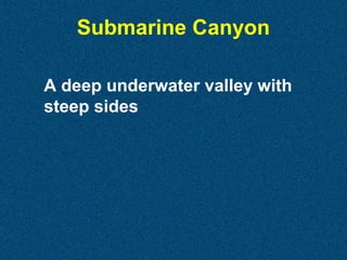
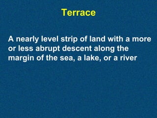
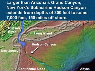
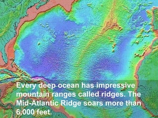
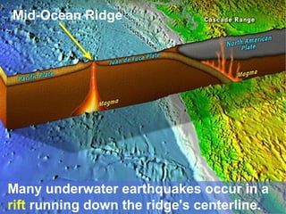
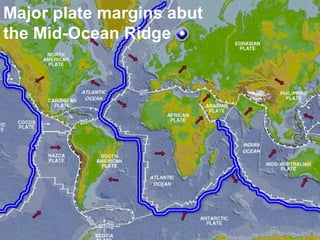
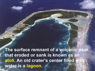
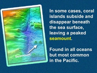
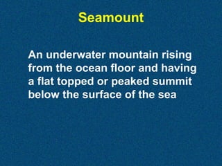
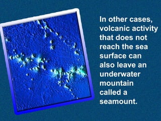
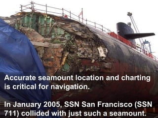
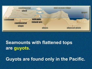
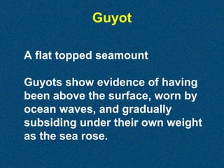
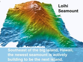
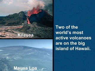
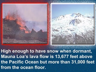
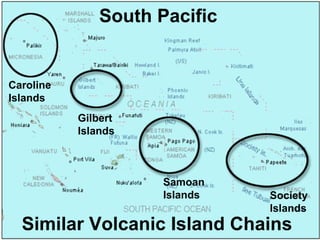
- Features of the deep ocean floor like seamounts, guyots, trenches, and ocean ridges. Seamounts are underwater mountains and guyots are flat-topped seamounts. Ocean ridges are long mountain ranges in the middle of ocean basins.
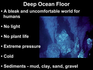
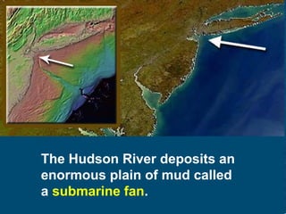
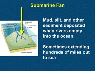
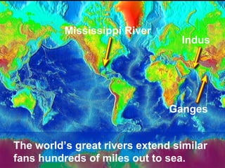
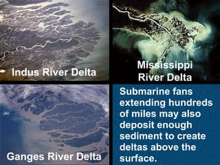
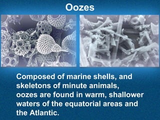
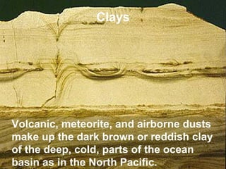
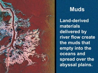
- How sediments like oozes, clays, and muds accumulate on the ocean


![Earth science chp 14[1]](https://cdn.slidesharecdn.com/ss_thumbnails/earthsciencechp141-110706160417-phpapp01-thumbnail.jpg?width=640&height=640&fit=bounds)


