Downloaded 2,184 times

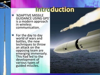
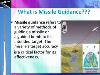
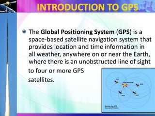

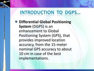
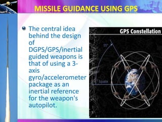
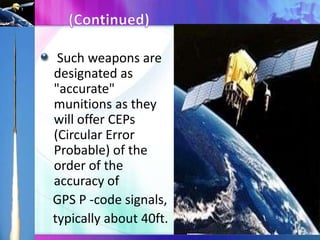
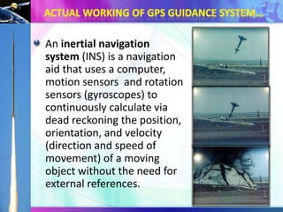
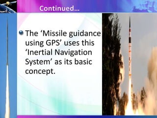

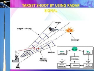
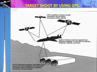
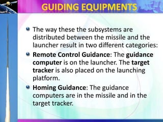
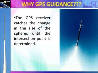


The document discusses 'adaptive missile guidance using GPS' as a modern approach in wireless communication for military applications. It explains the evolution of missile guidance systems and the role of GPS and Differential GPS (DGPS) in enhancing target accuracy. The conclusion highlights that this method is more efficient in minimizing various losses compared to earlier techniques.


![Getting Started with Apache Spark: Big Data Made Simple [Free Meetup]](https://cdn.slidesharecdn.com/ss_thumbnails/apachesparkgettingstarted-260203175547-8361bcc3-thumbnail.jpg?width=640&height=640&fit=bounds)