The document provides an introduction to the Global Positioning System (GPS). It discusses the history and components of GPS, including how GPS satellites and receivers work to determine location. Key points include:
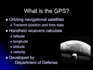
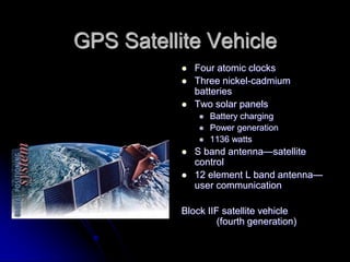
- GPS was developed by the US Department of Defense and uses a constellation of 24 satellites that continuously transmit location and time data.
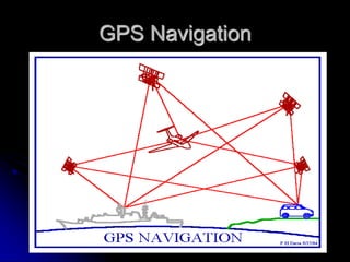
- Handheld GPS receivers can calculate latitude, longitude, altitude and velocity by receiving signals from 4 or more satellites.
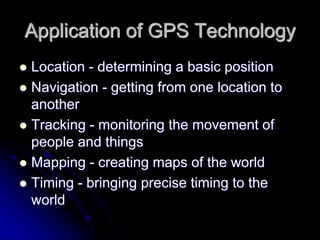
- GPS has both military and civilian applications and is used for navigation, tracking, mapping, and precise timing worldwide.