Downloaded 125 times
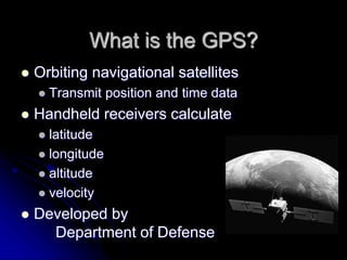
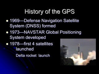


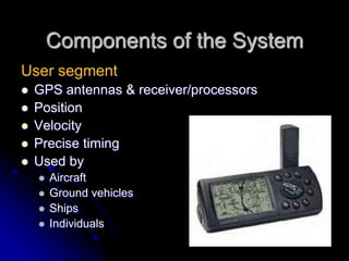


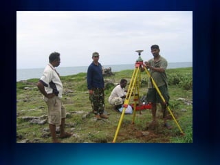


The document provides an introduction to the Global Positioning System (GPS). It discusses that GPS uses orbiting satellites that transmit position and time data to handheld receivers, which can then calculate location details like latitude, longitude, altitude and velocity. The system was developed by the US Department of Defense, with the first satellites launched in 1978. It became fully operational in 1995 and available for civilian use in 2000. The document outlines the various components that make up GPS including the space, user and ground control segments.


!["GPS" Global Positioning System [PDF]](https://cdn.slidesharecdn.com/ss_thumbnails/globalpositioningsystemgpsmainpdf-101105164539-phpapp01-thumbnail.jpg?width=640&height=640&fit=bounds)


