Downloaded 1,290 times

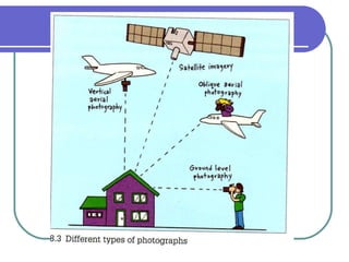
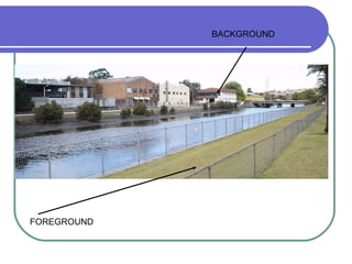
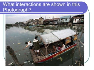
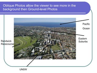
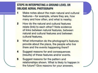
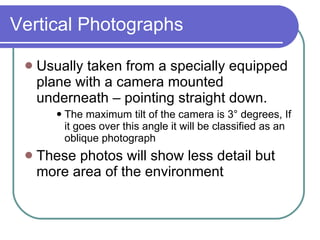
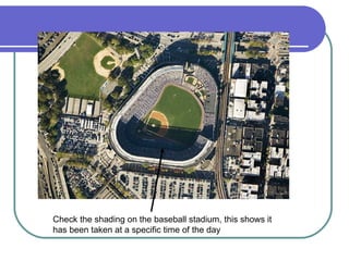
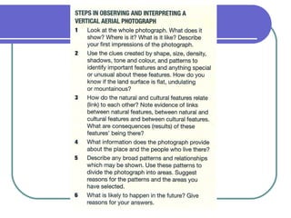
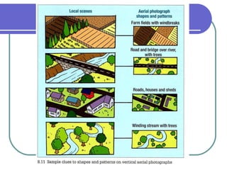
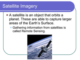
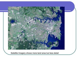
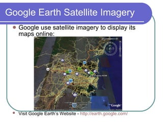
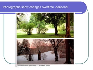
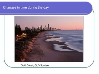
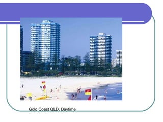
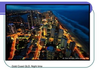
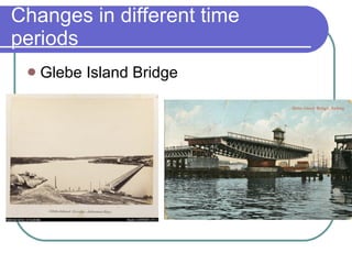
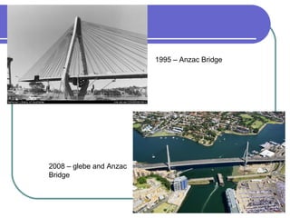
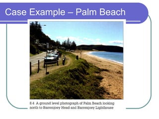
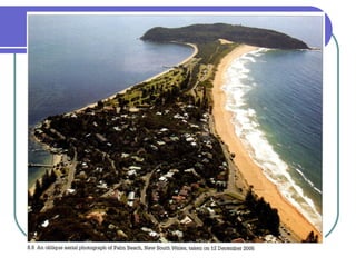
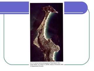
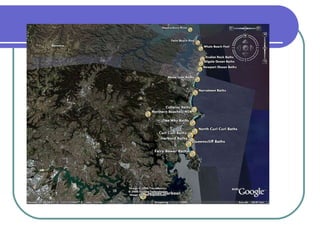
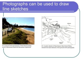
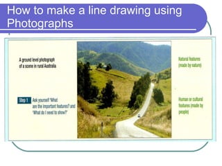
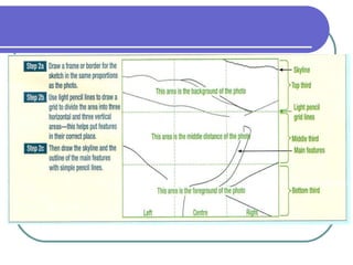

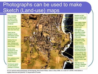
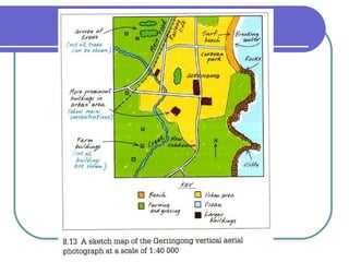
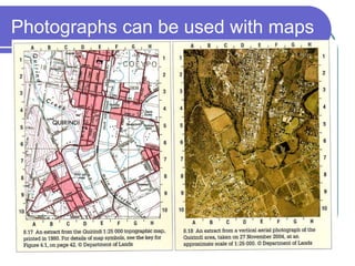

Geographers use different types of photographs to describe and analyze places. Ground-level photographs show an area from the perspective of standing on the ground and show more detail for closer features. Oblique photographs are taken from above at an angle and show more of the background than ground photos. Vertical photographs are taken straight down from aircraft and show less detail but more area. Satellite imagery provides large-scale views of the Earth's surface with less detail. Photographs can document how places change over time or seasons and be used to create sketches, maps, and analyze human-environment interactions.


