Downloaded 296 times
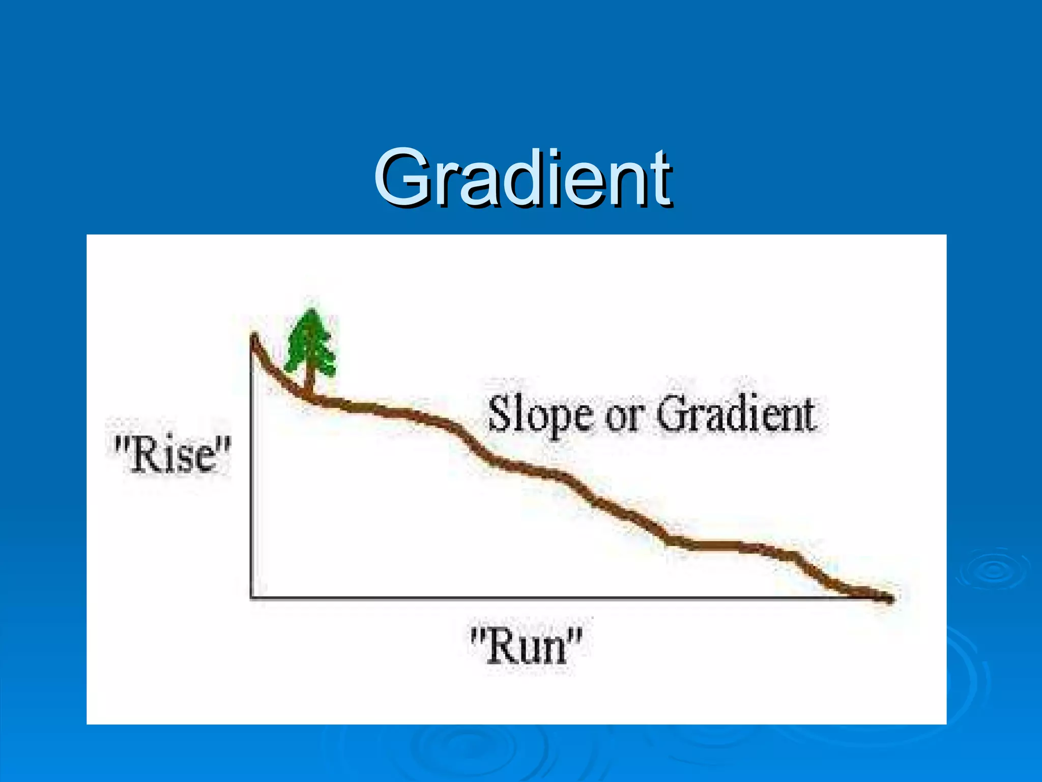
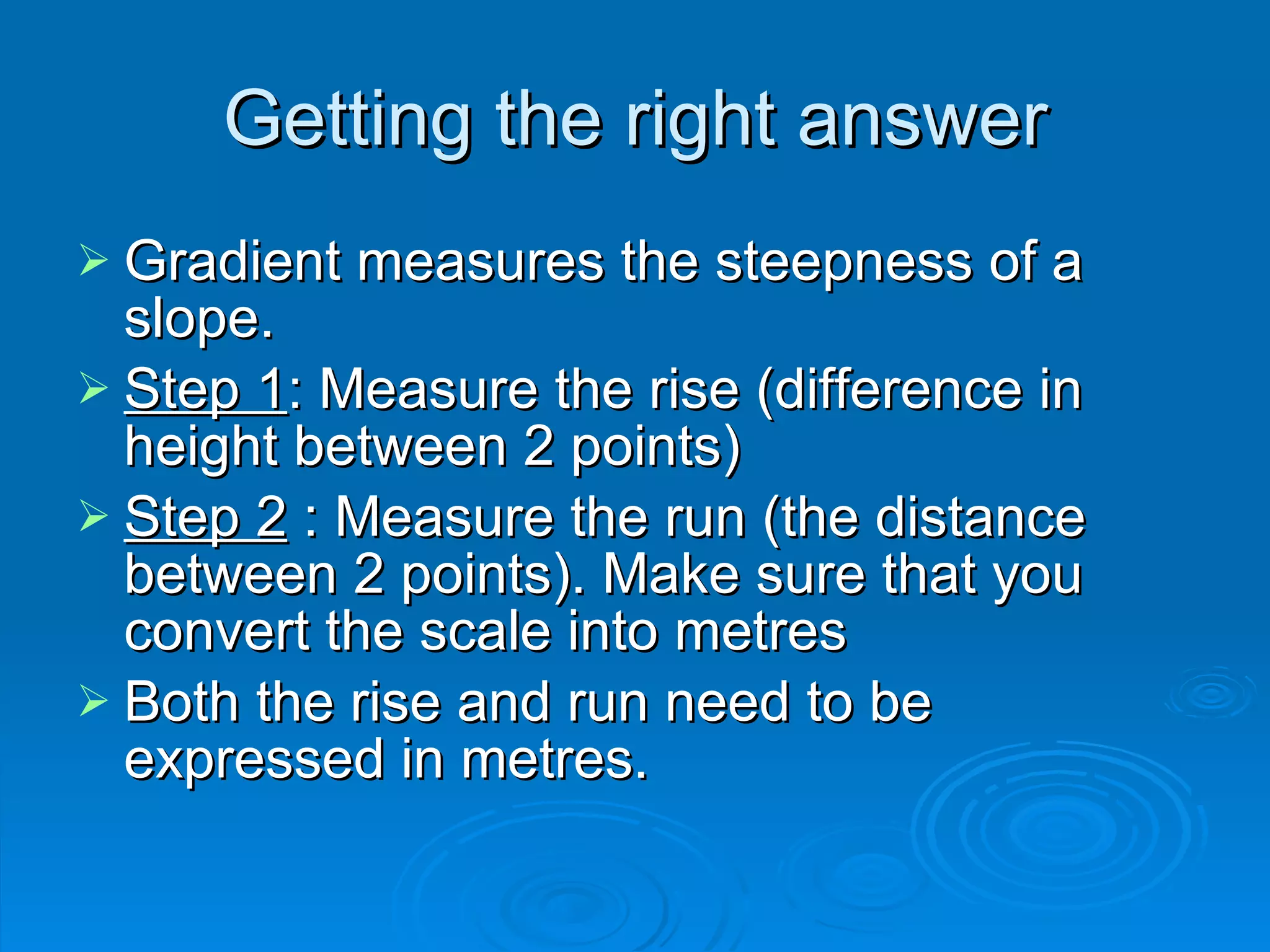
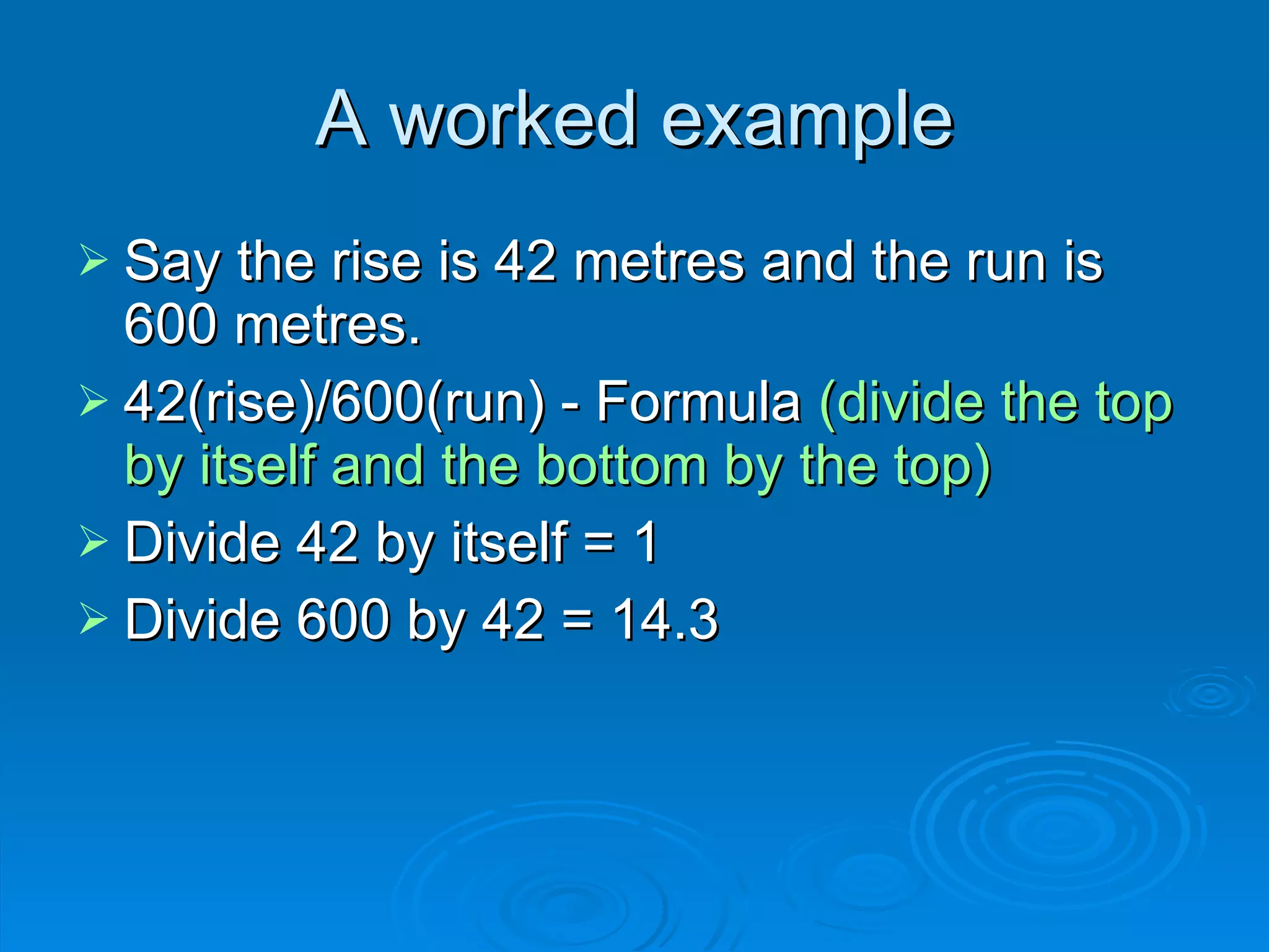
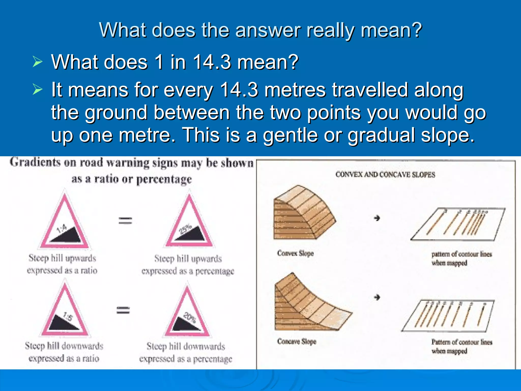


The document discusses how to measure and describe gradients on maps and in the field. It explains that gradient measures the steepness of a slope by calculating the rise over the run between two points. An example calculation is shown where the rise is 42 meters and the run is 600 meters, resulting in a gradient of 1 in 14.3. This means that for every 14.3 meters traveled along the ground, one would go up one meter, indicating a gentle slope. The document asks the reader to consider how gradient relates to land use and hazards like bushfires.


