Introduction to Maps
Mapsare visual representations of the Earth's surface. They provide
information about the location, shape, and size of different
geographical features.
2.
Types of Maps
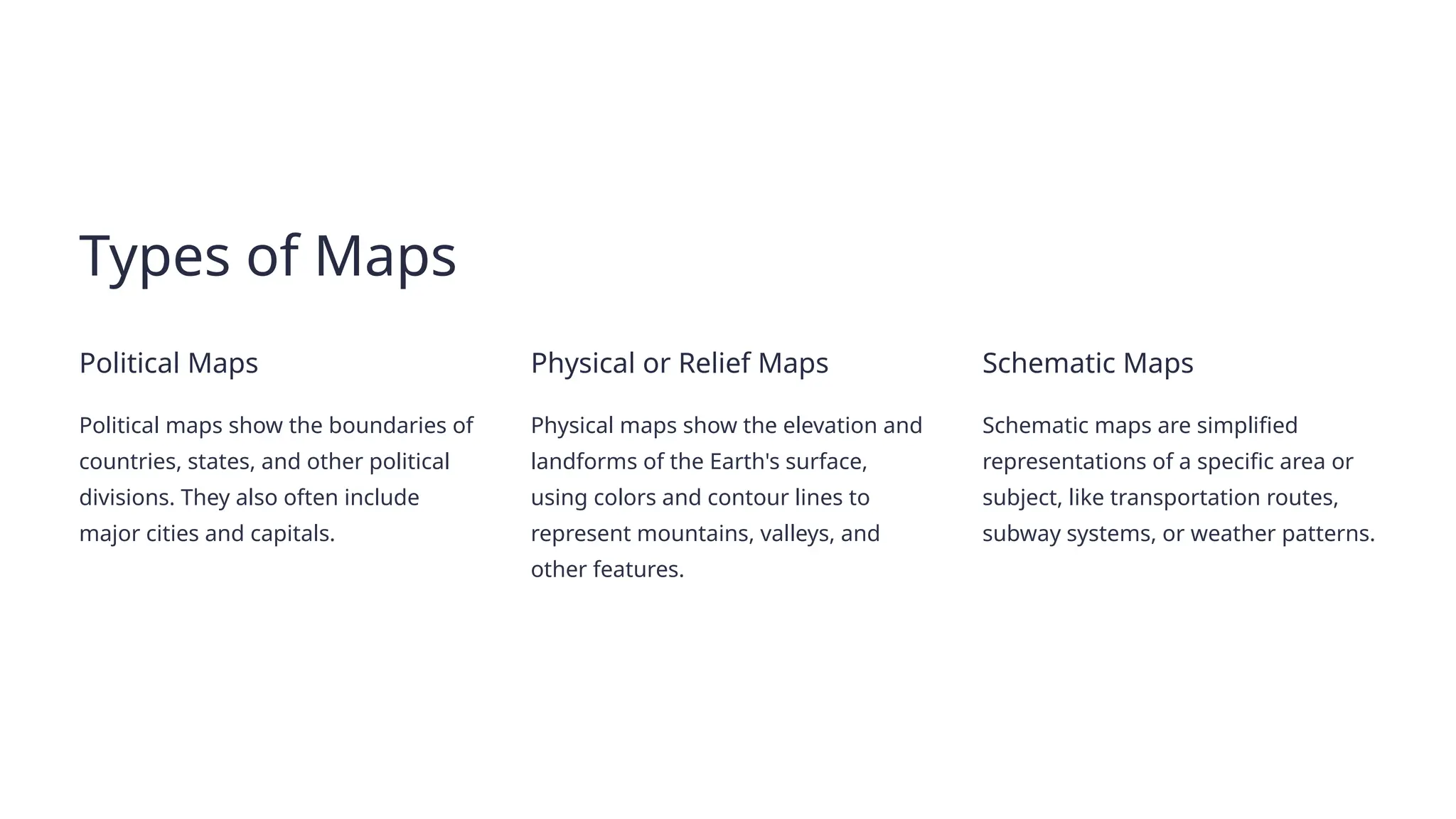
PoliticalMaps
Political maps show the boundaries of
countries, states, and other political
divisions. They also often include
major cities and capitals.
Physical or Relief Maps
Physical maps show the elevation and
landforms of the Earth's surface,
using colors and contour lines to
represent mountains, valleys, and
other features.
Schematic Maps
Schematic maps are simplified
representations of a specific area or
subject, like transportation routes,
subway systems, or weather patterns.
3.
Map Scale andMeasuring
Distance
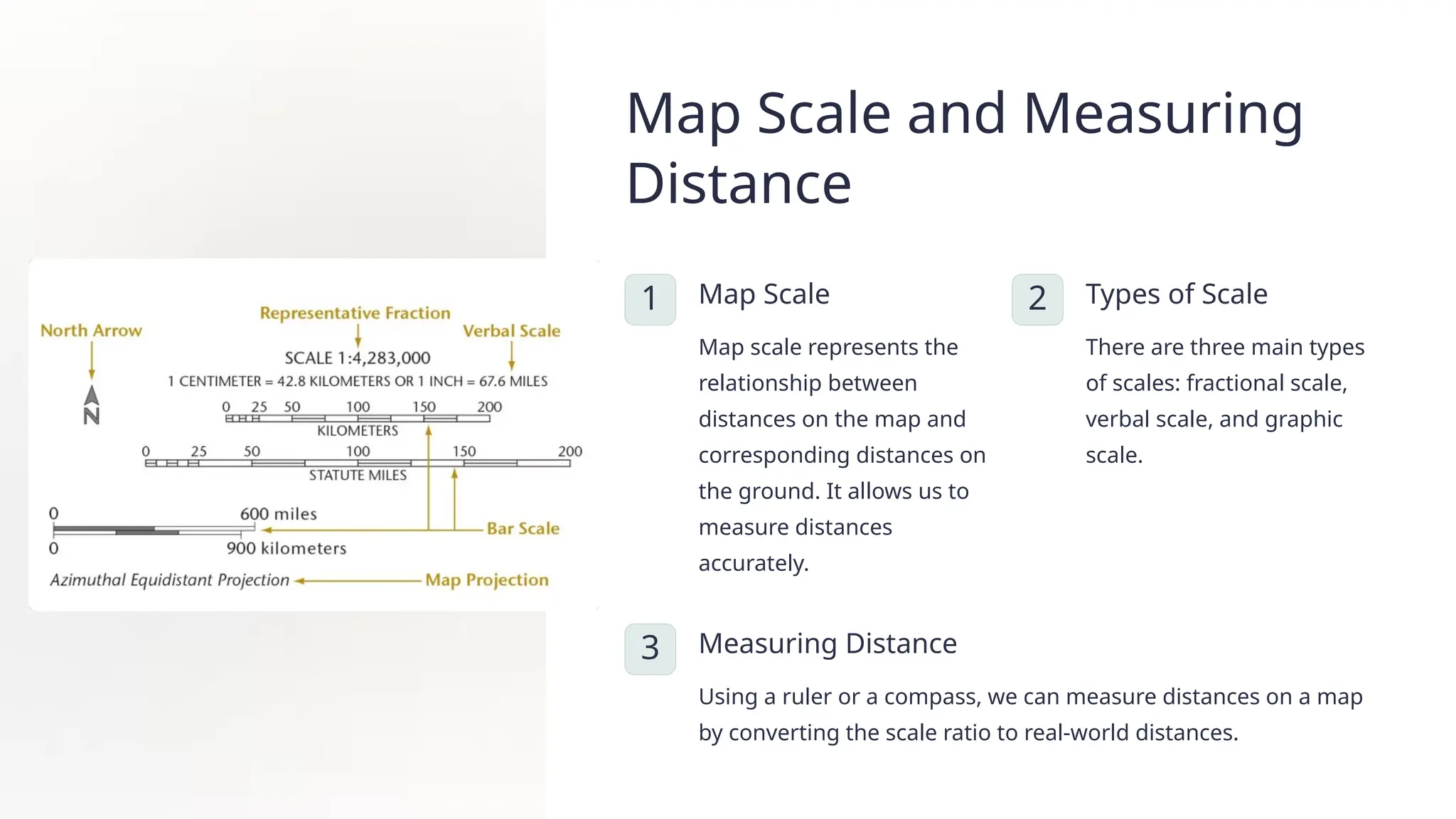
1 Map Scale
Map scale represents the
relationship between
distances on the map and
corresponding distances on
the ground. It allows us to
measure distances
accurately.
2 Types of Scale
There are three main types
of scales: fractional scale,
verbal scale, and graphic
scale.
3 Measuring Distance
Using a ruler or a compass, we can measure distances on a map
by converting the scale ratio to real-world distances.
4.
Compass
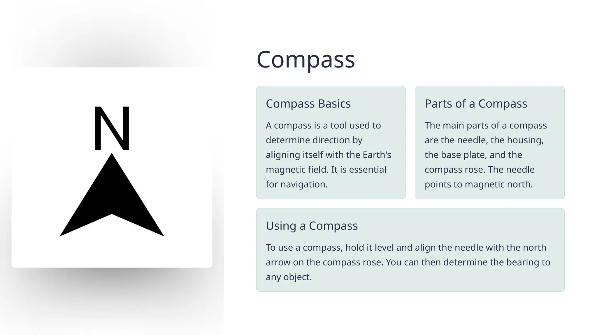
Compass Basics
A compassis a tool used to
determine direction by
aligning itself with the Earth's
magnetic field. It is essential
for navigation.
Parts of a Compass
The main parts of a compass
are the needle, the housing,
the base plate, and the
compass rose. The needle
points to magnetic north.
Using a Compass
To use a compass, hold it level and align the needle with the north
arrow on the compass rose. You can then determine the bearing to
any object.
Sketching and Planning
Step1: Observation
Carefully observe the area you are going to sketch and take notes on its
main features.
Step 2: Outline
Draw the general outline of the area, paying attention to the relative
positions of features.
Step 3: Details
Add details like buildings, roads, rivers, and other important landmarks.
Step 4: Labeling
Label all the features on your map, using the correct symbols and
abbreviations.
7.
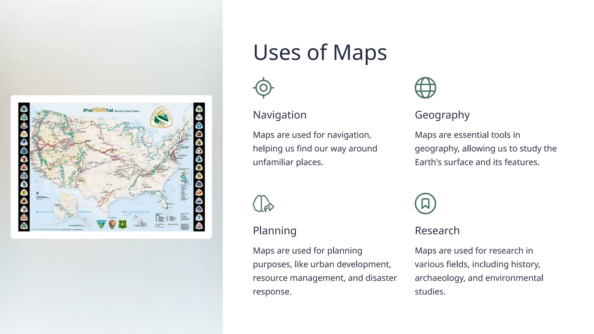
Uses of Maps
Navigation
Mapsare used for navigation,
helping us find our way around
unfamiliar places.
Geography
Maps are essential tools in
geography, allowing us to study the
Earth's surface and its features.
Planning
Maps are used for planning
purposes, like urban development,
resource management, and disaster
response.
Research
Maps are used for research in
various fields, including history,
archaeology, and environmental
studies.
8.
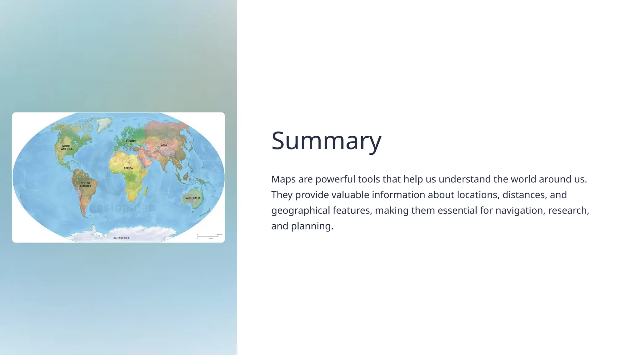
Summary
Maps are powerfultools that help us understand the world around us.
They provide valuable information about locations, distances, and
geographical features, making them essential for navigation, research,
and planning.