Downloaded 134 times
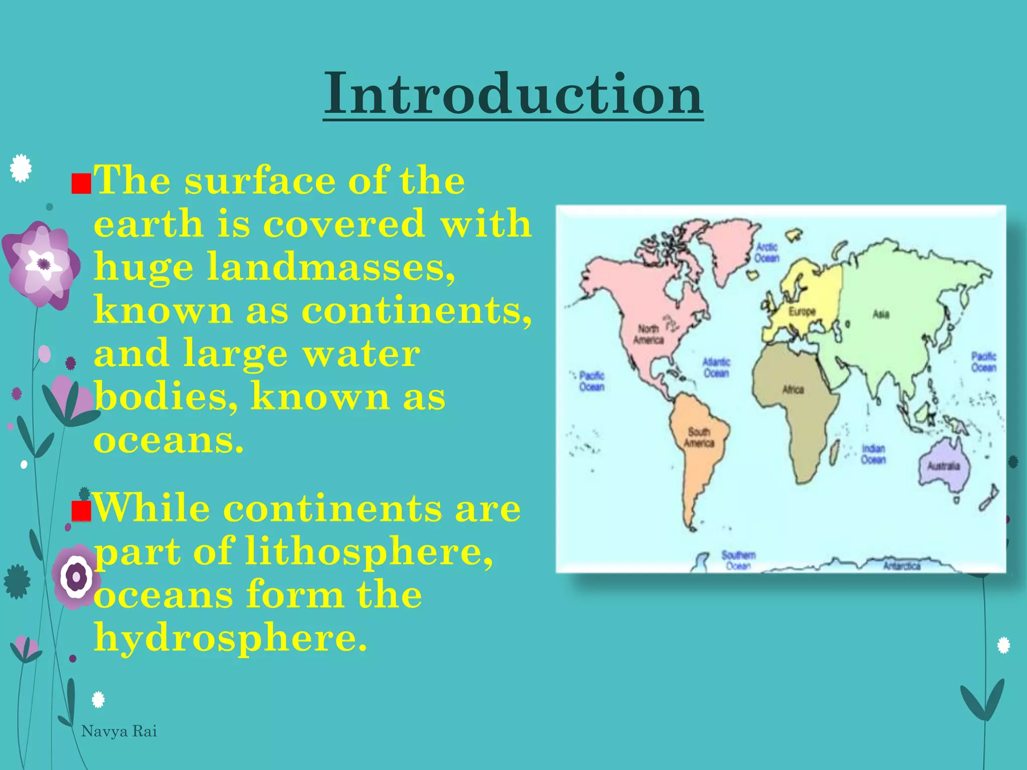
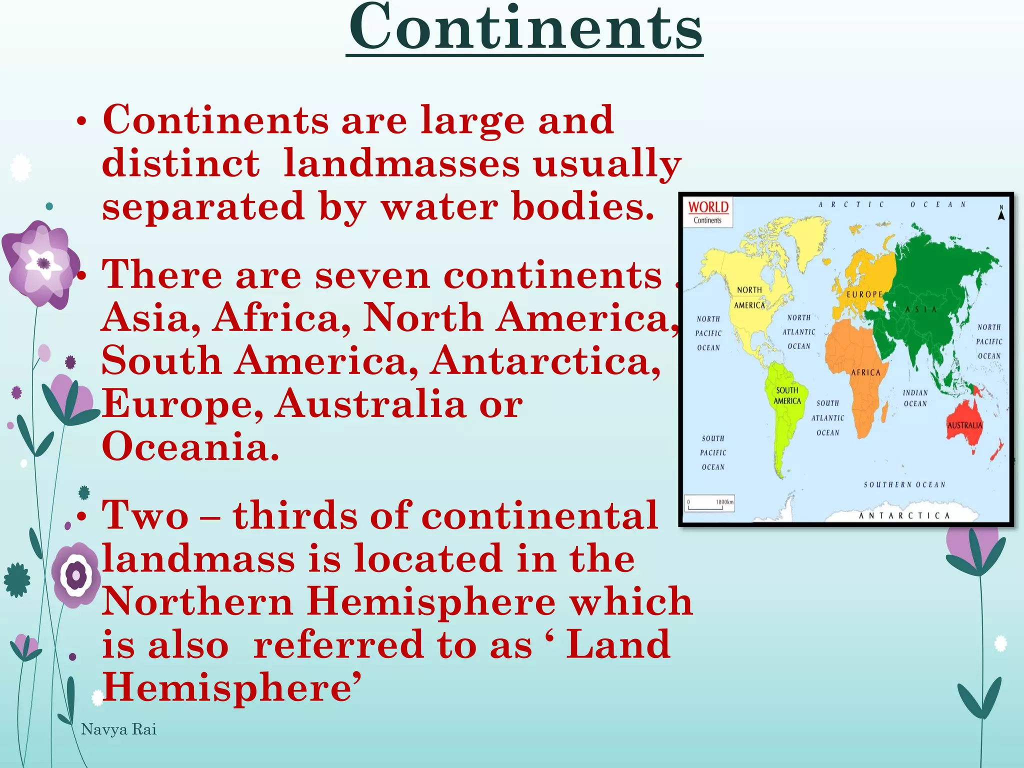
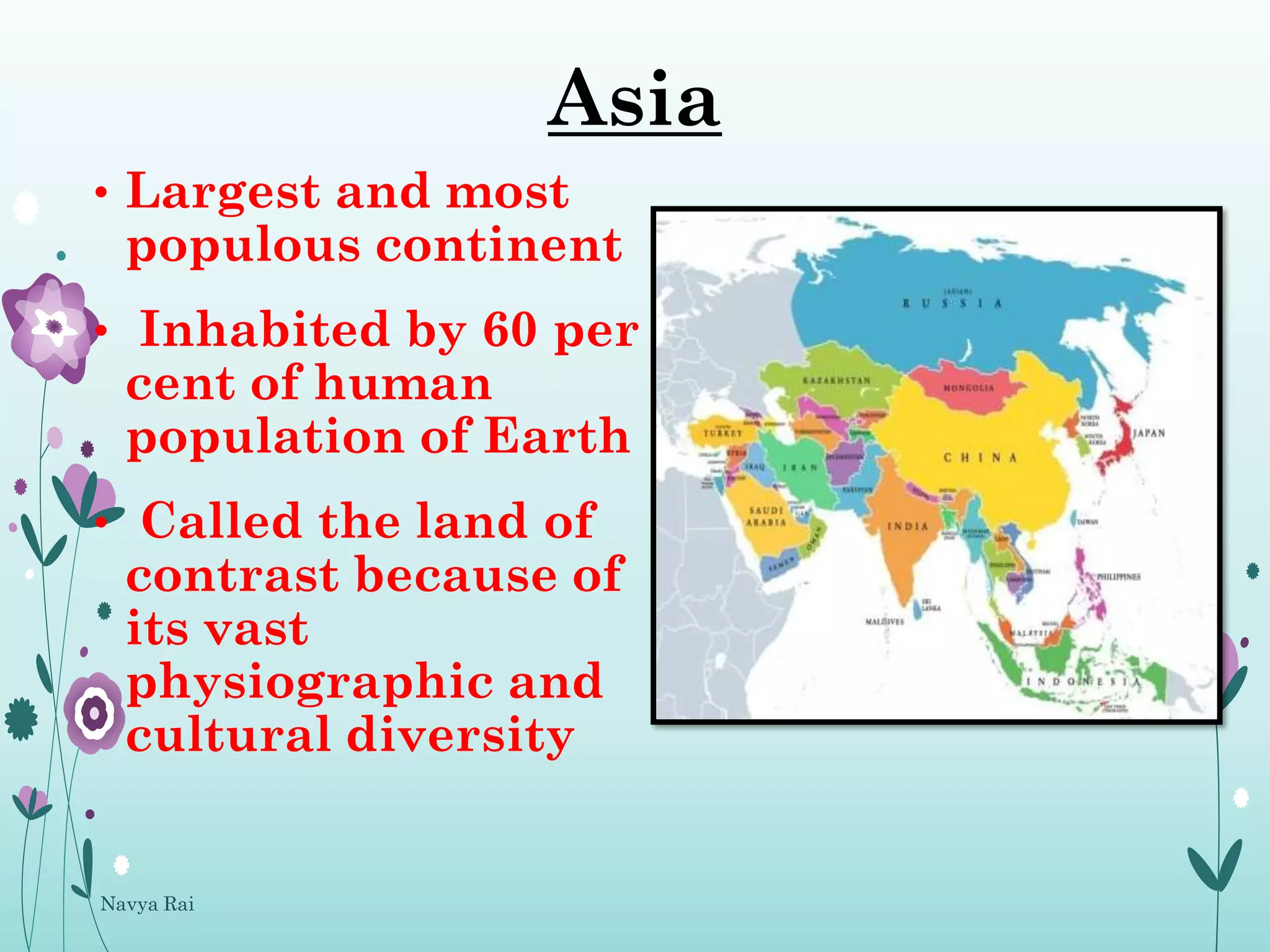
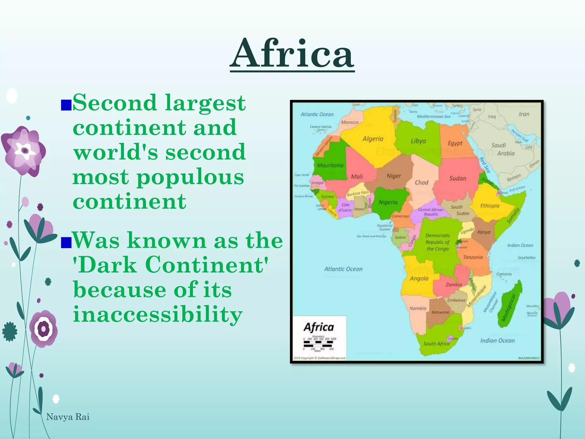
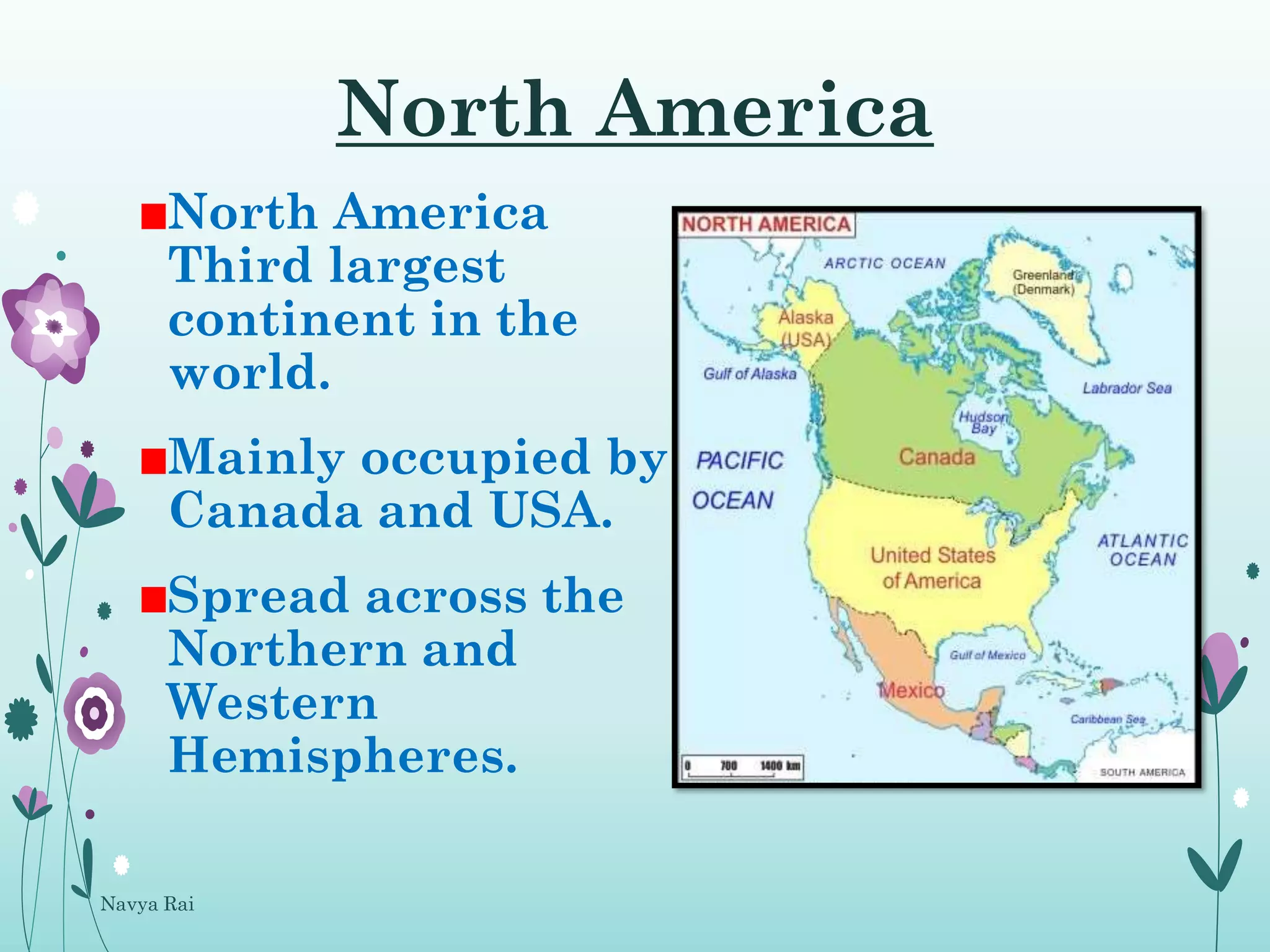

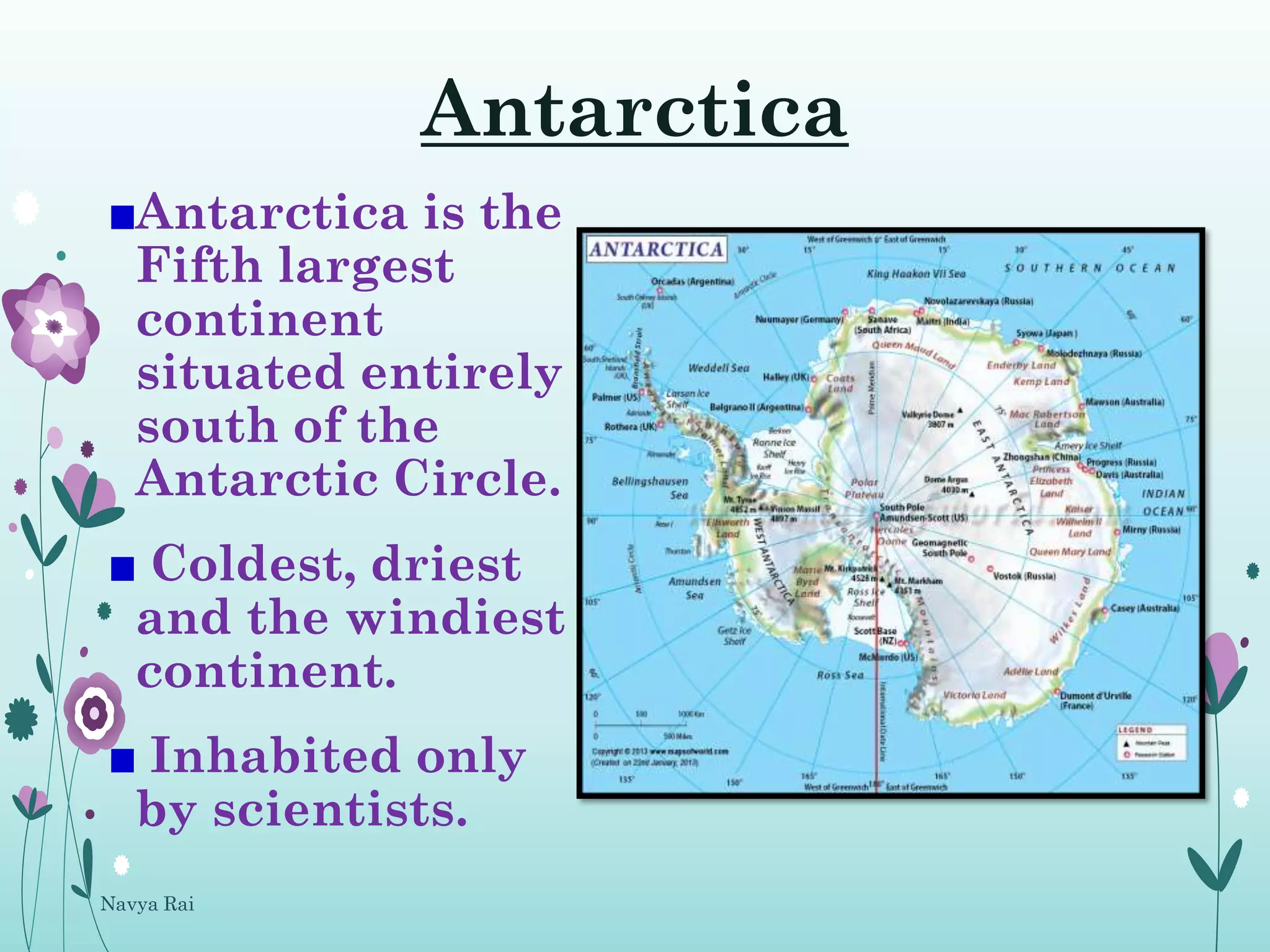
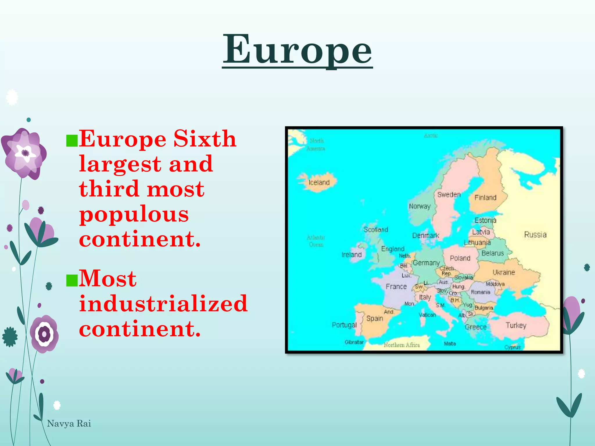
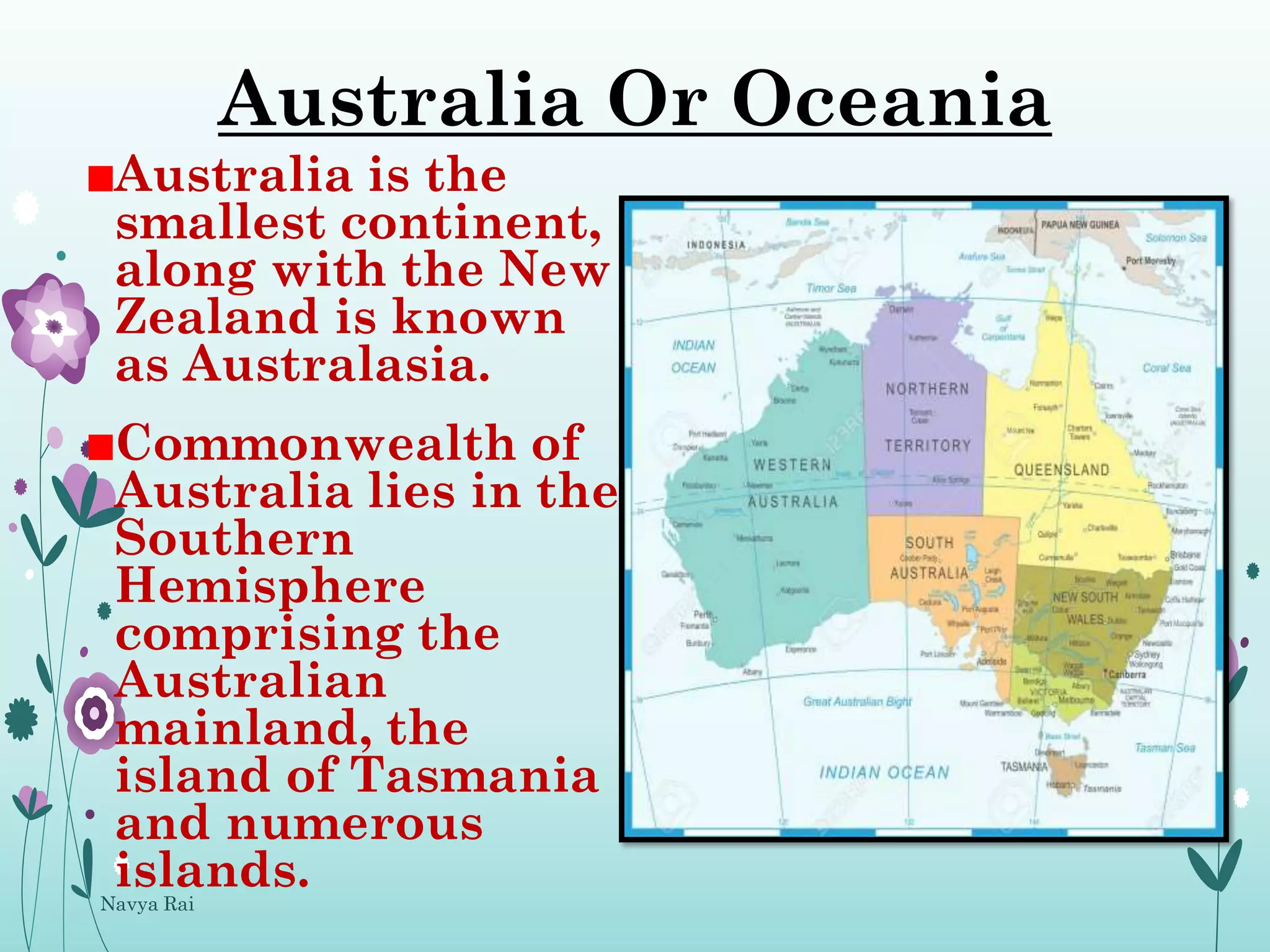
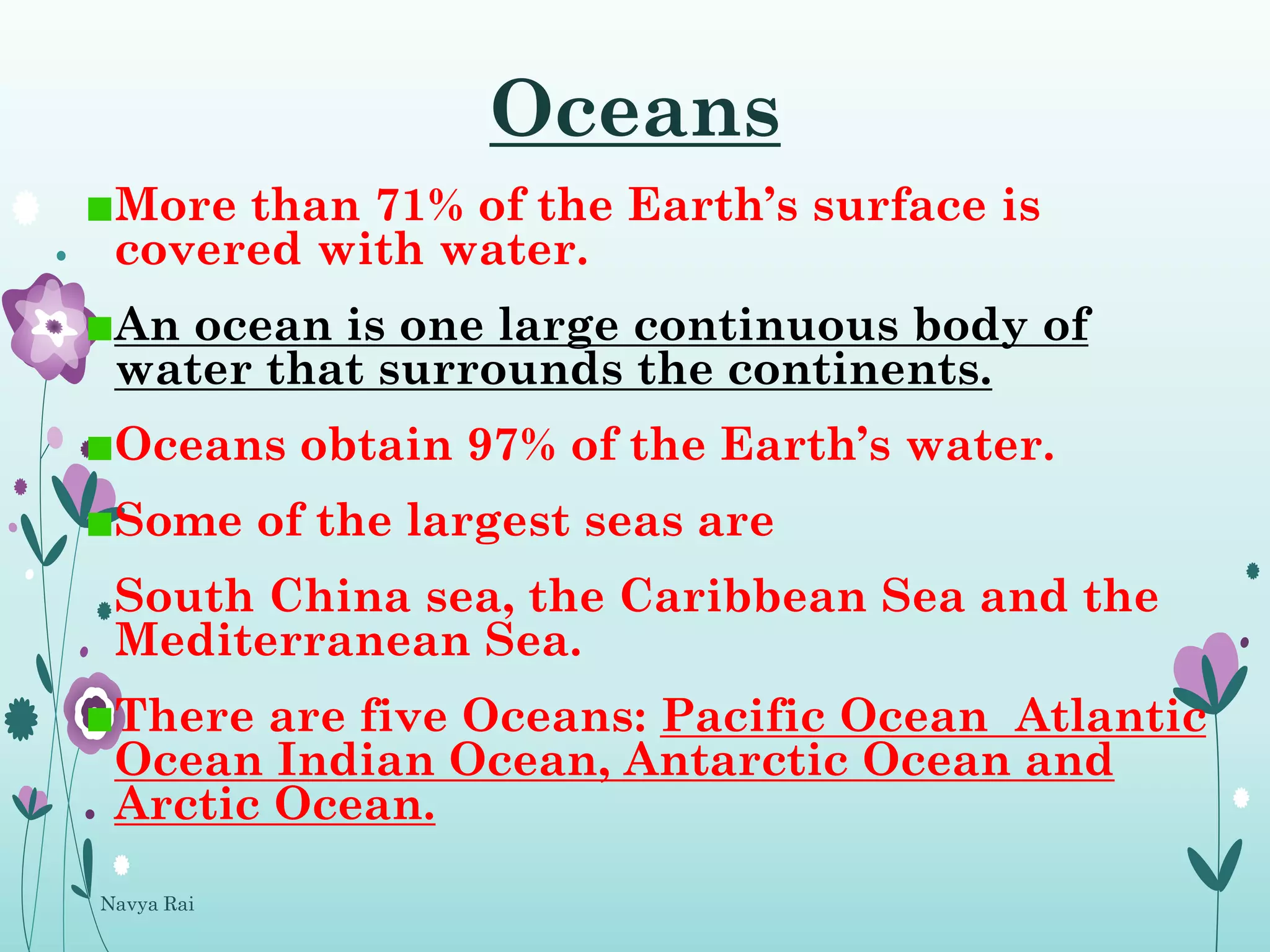
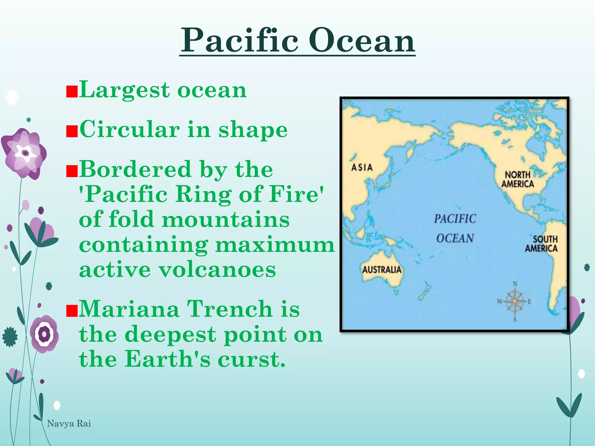


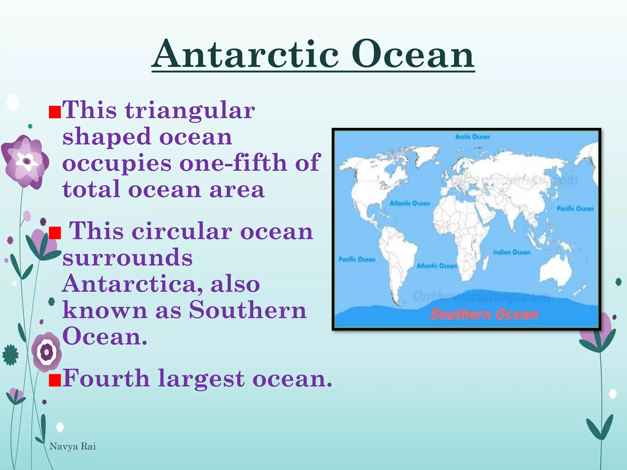


The document provides an overview of continents and oceans, detailing the seven continents and their characteristics, such as Asia being the largest and most populous. It also describes the five oceans, highlighting the Pacific Ocean as the largest and the Atlantic Ocean's significance in trade. Overall, it emphasizes the distribution of land and water on Earth.


