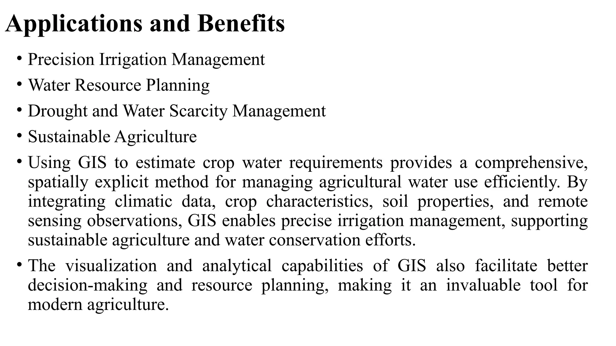
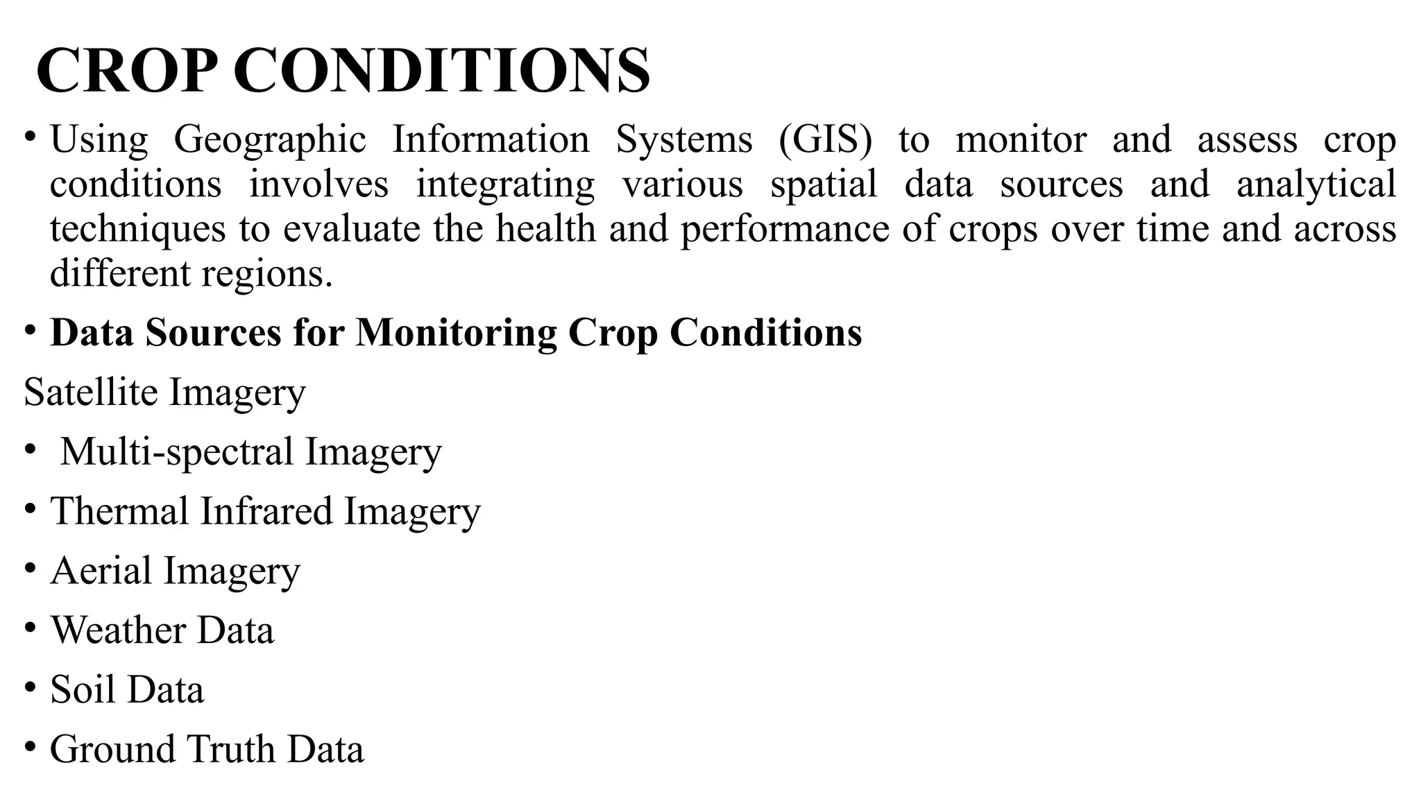
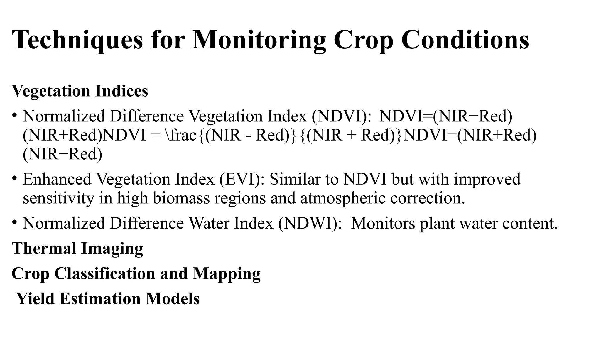
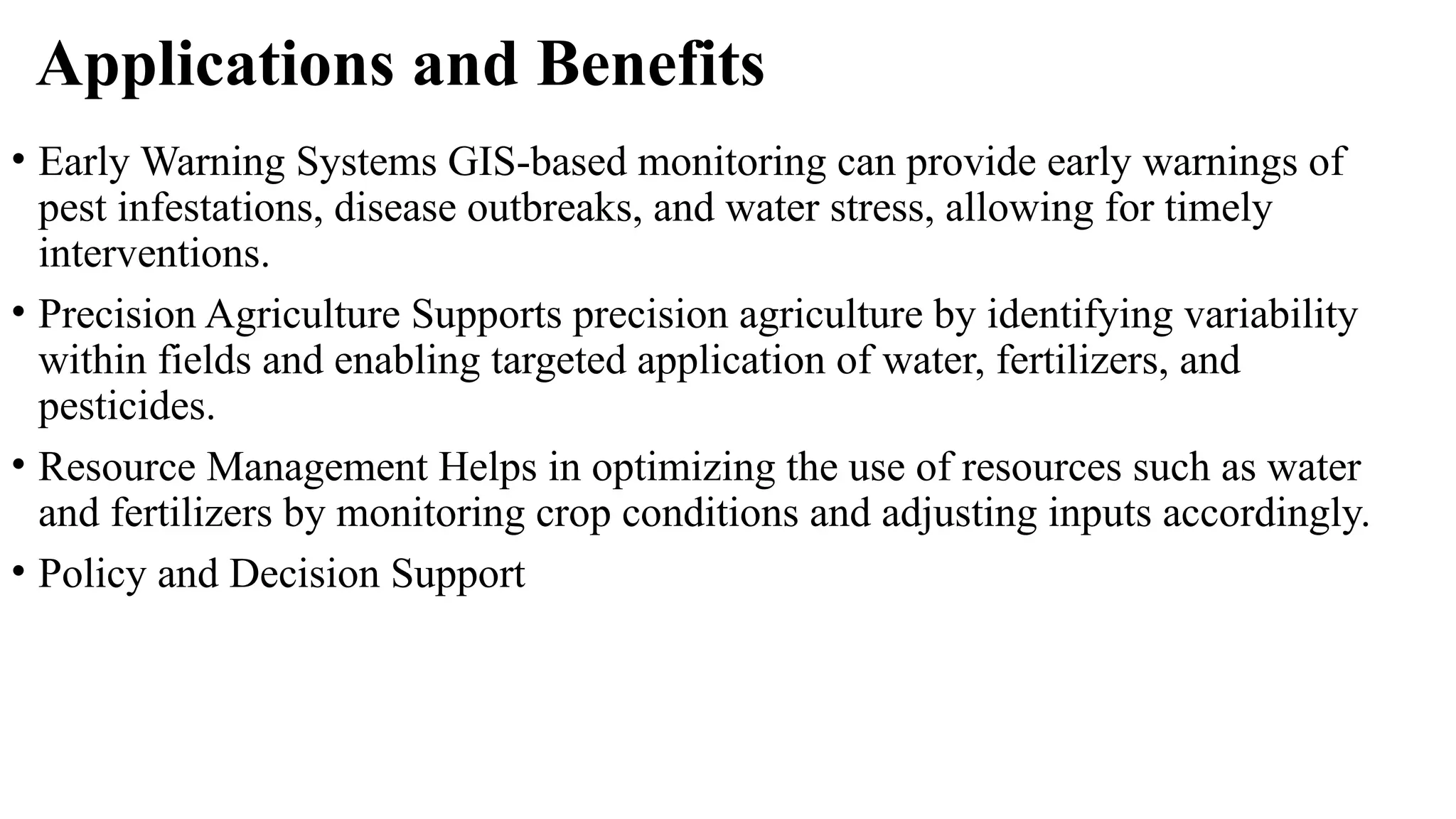
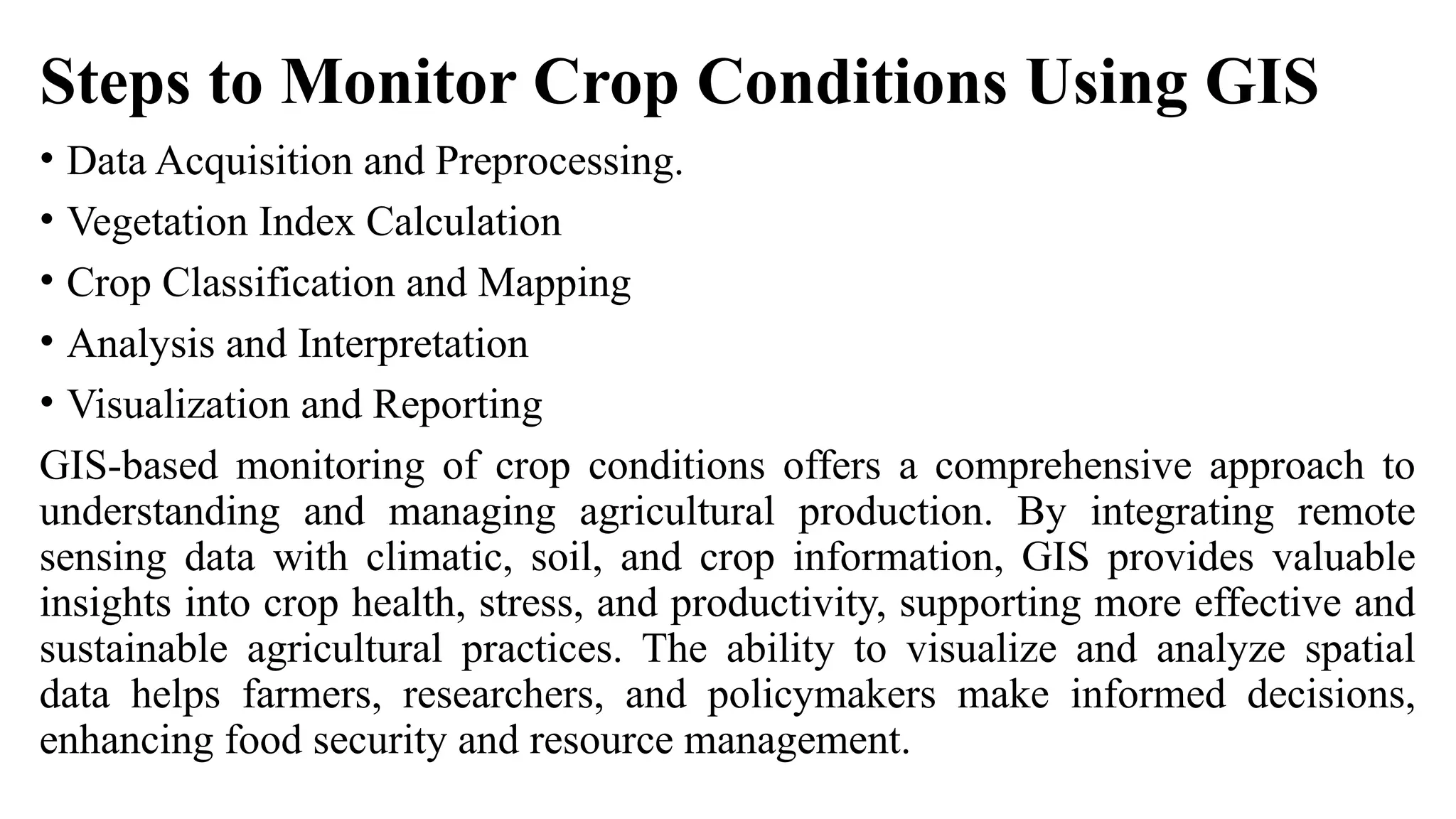
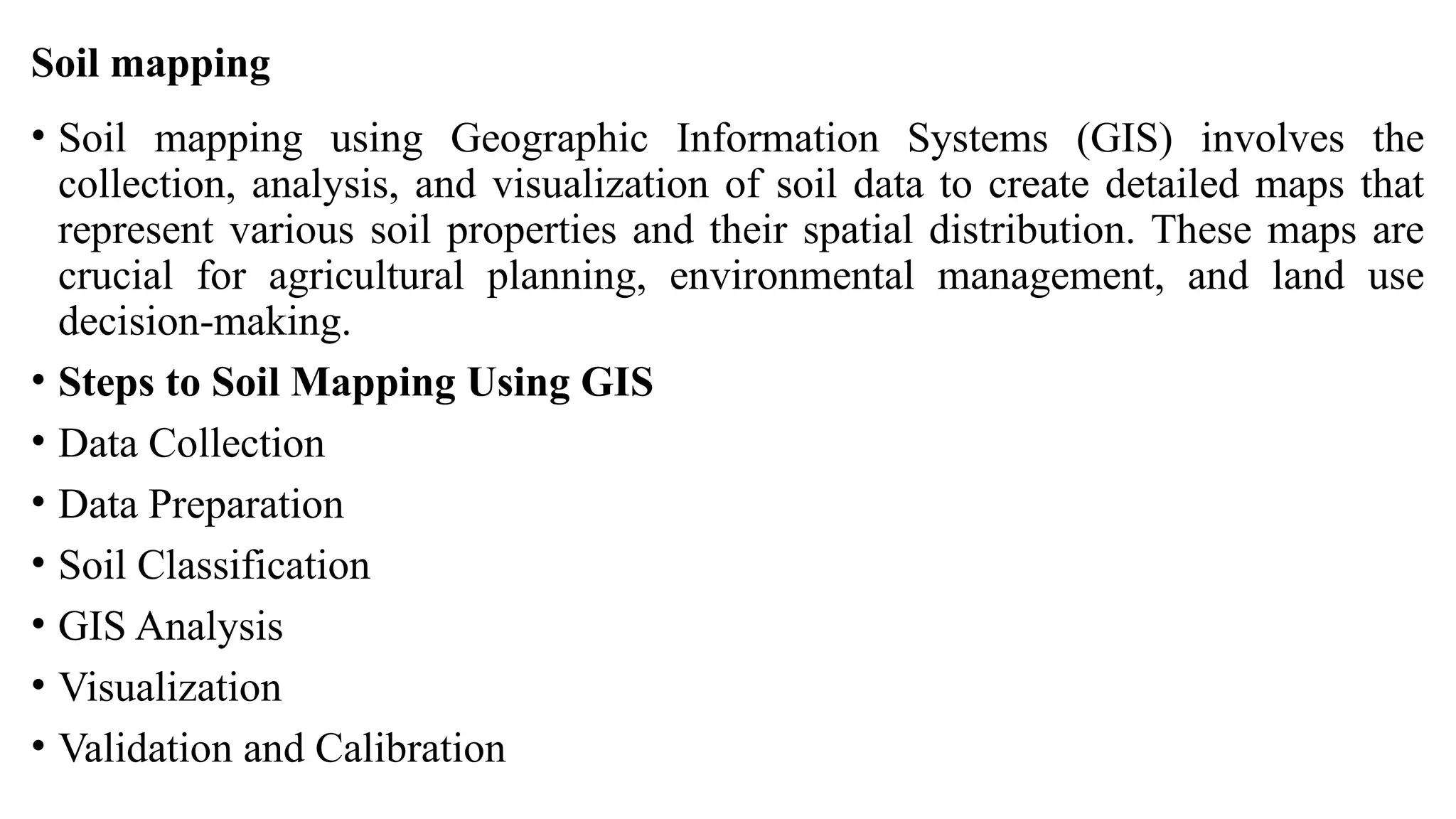
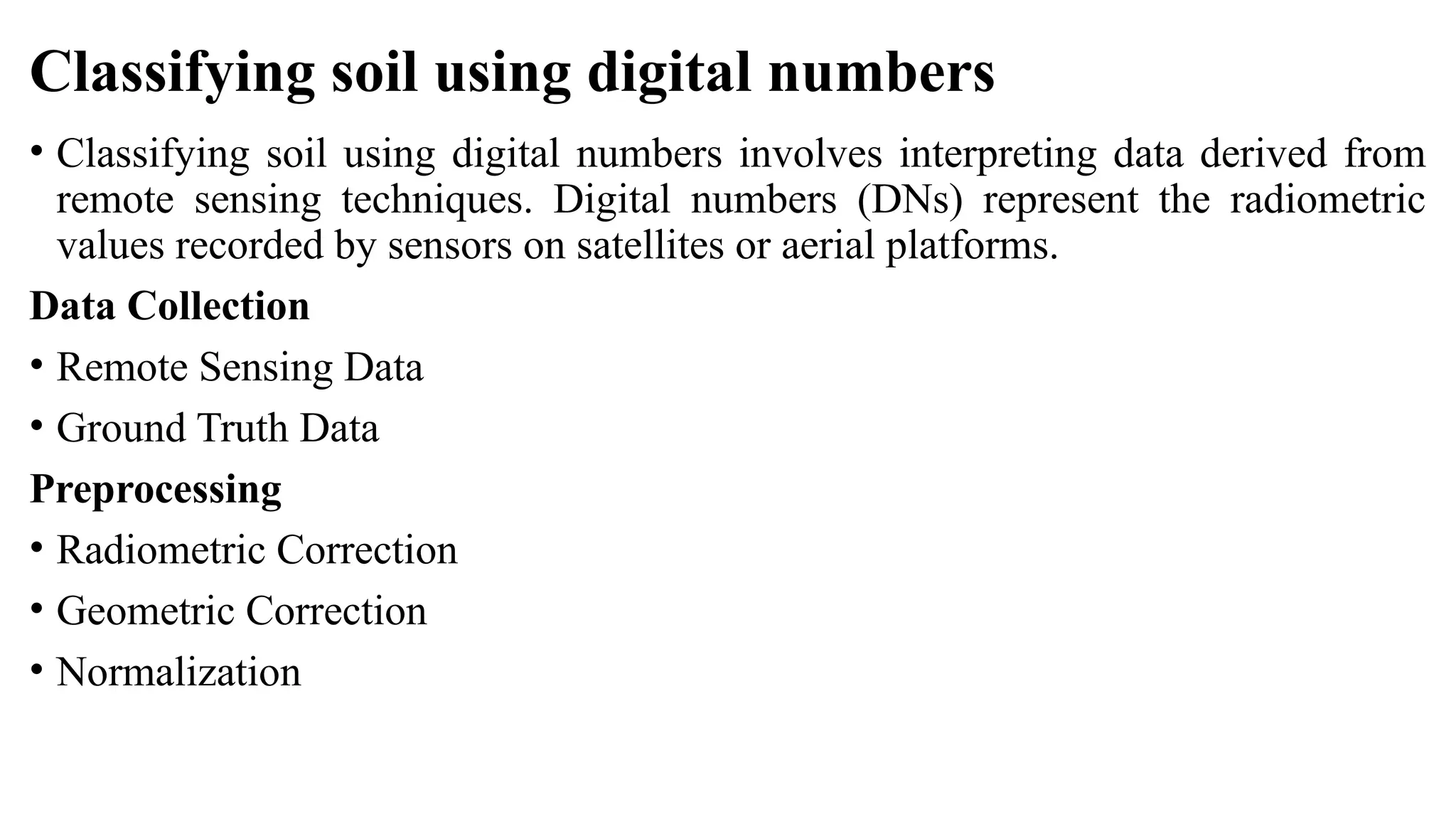
The document outlines the use of remote sensing (RS) and geographic information systems (GIS) for crop acreage estimation, water resource management, and soil mapping, integrating spatial data for enhanced agricultural practices. It details various techniques such as satellite imagery analysis, data collection methods, and applications in precision agriculture and environmental management. Overall, utilizing RS and GIS enables more informed decision-making, improves resource management, and supports sustainable practices in agriculture and environmental assessment.