Downloaded 594 times

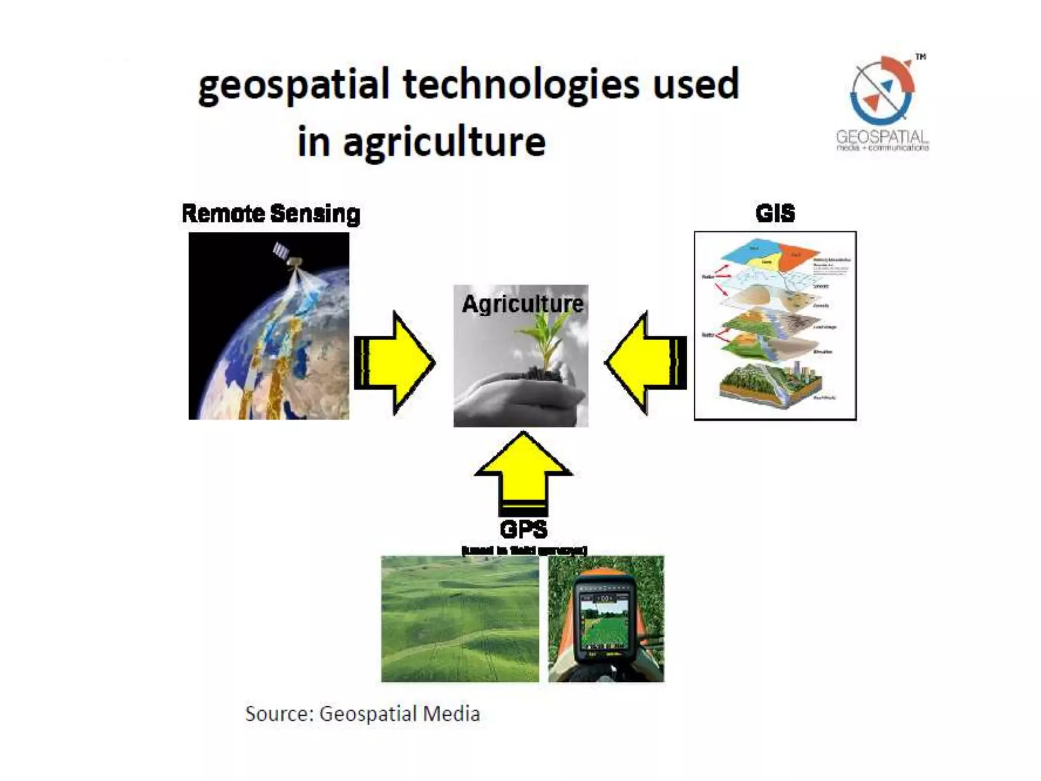
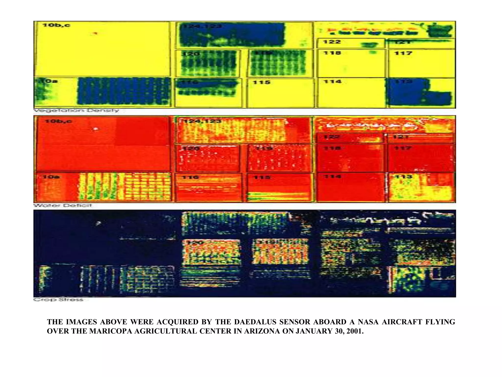
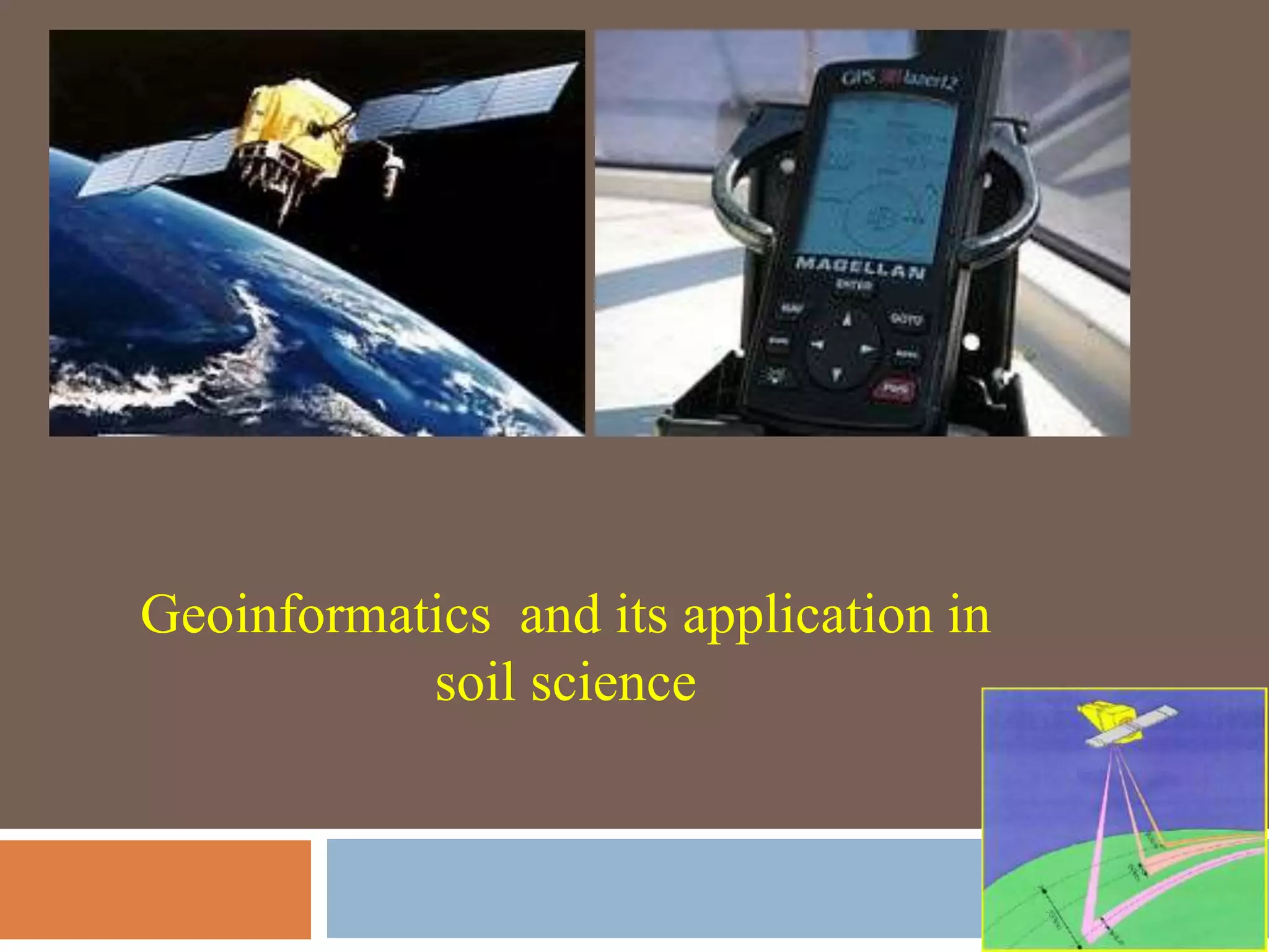
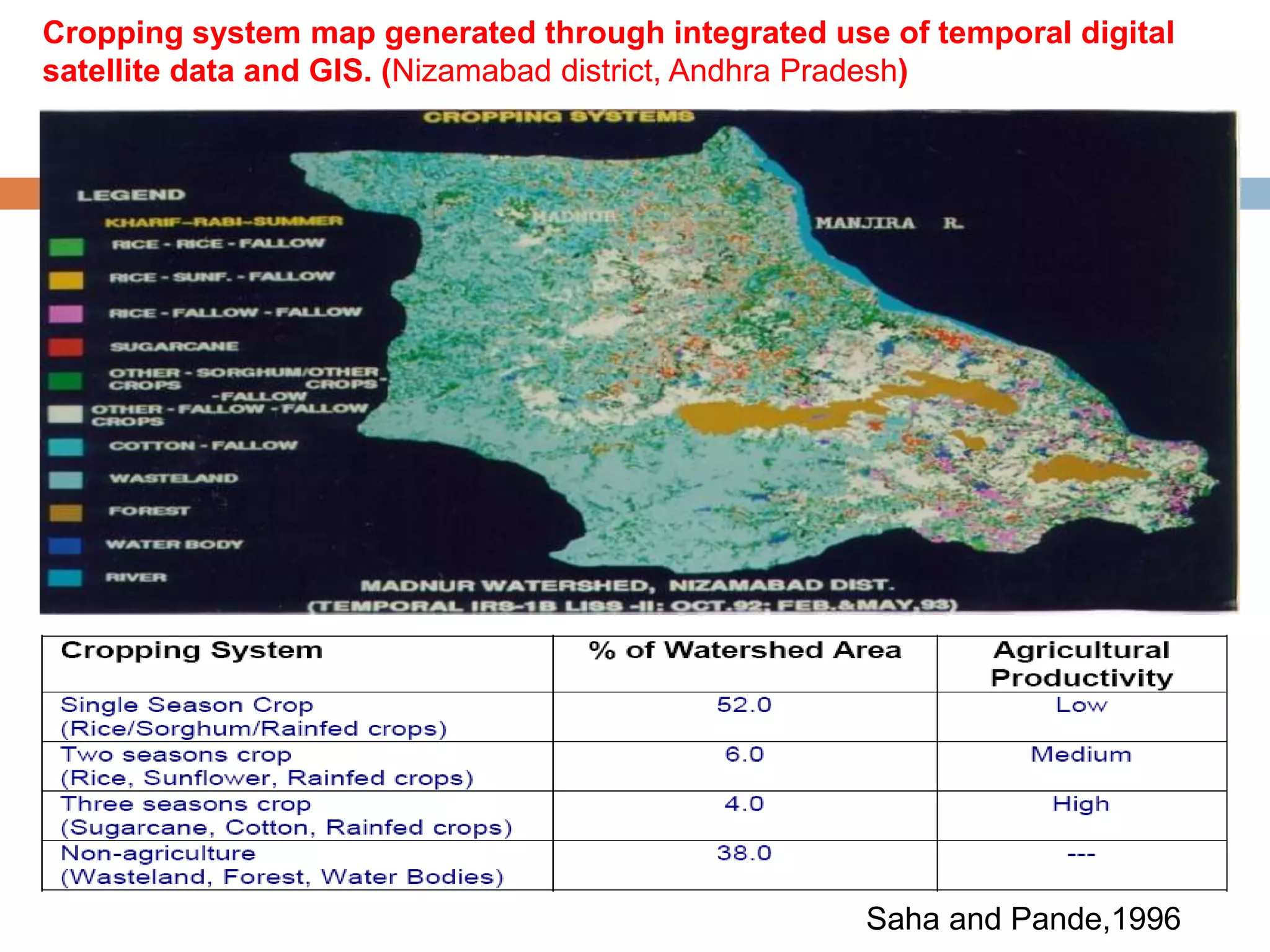
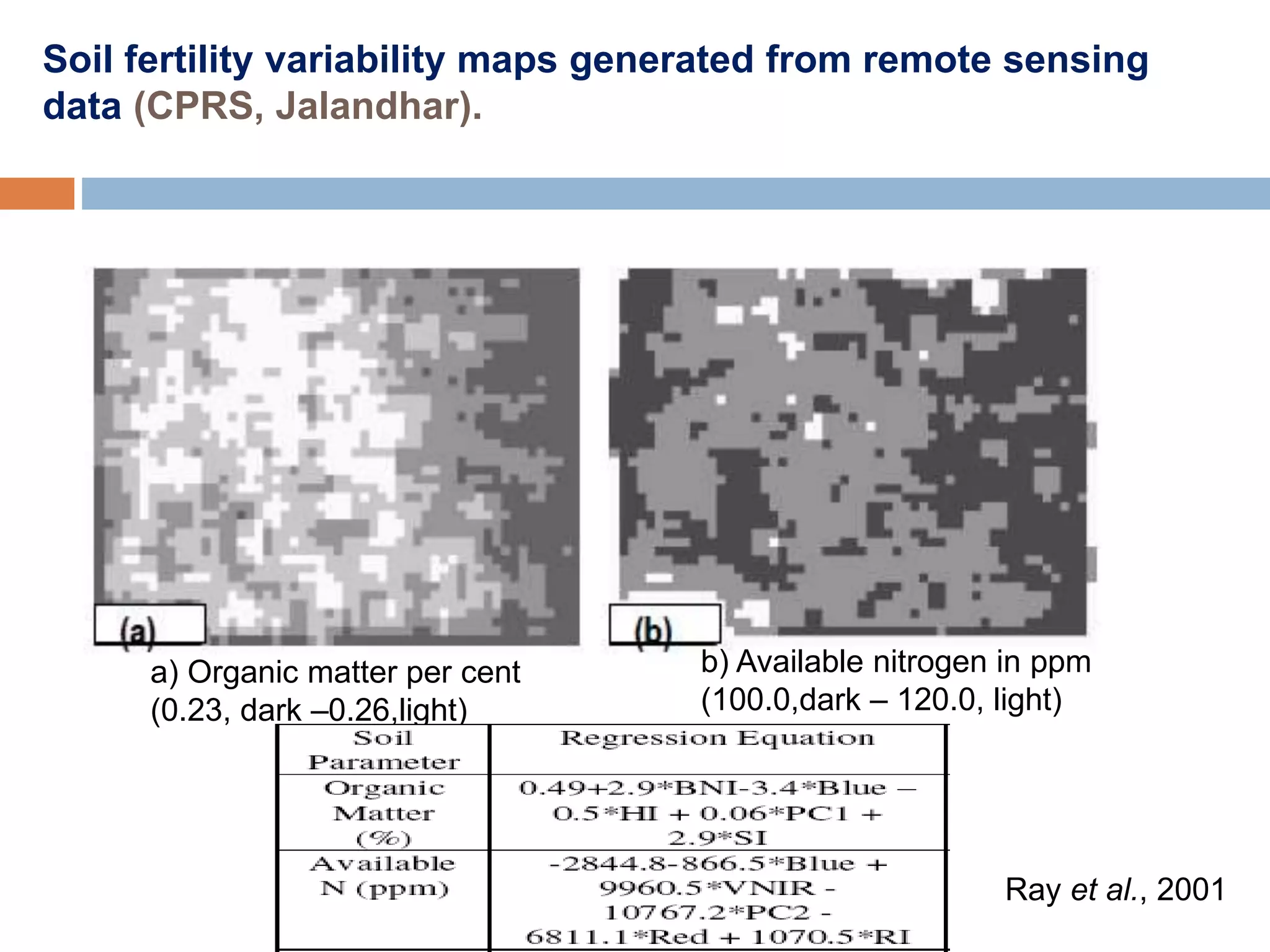


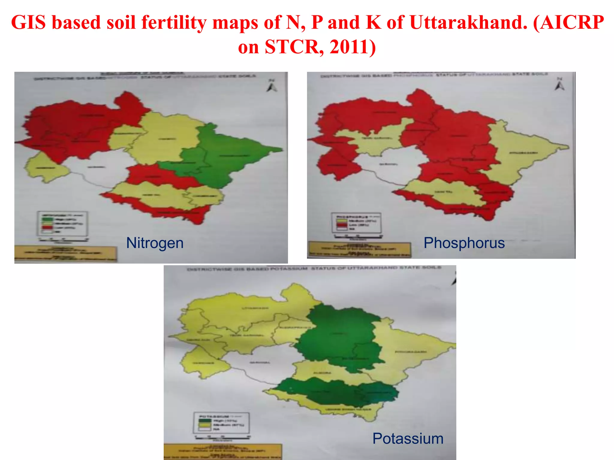
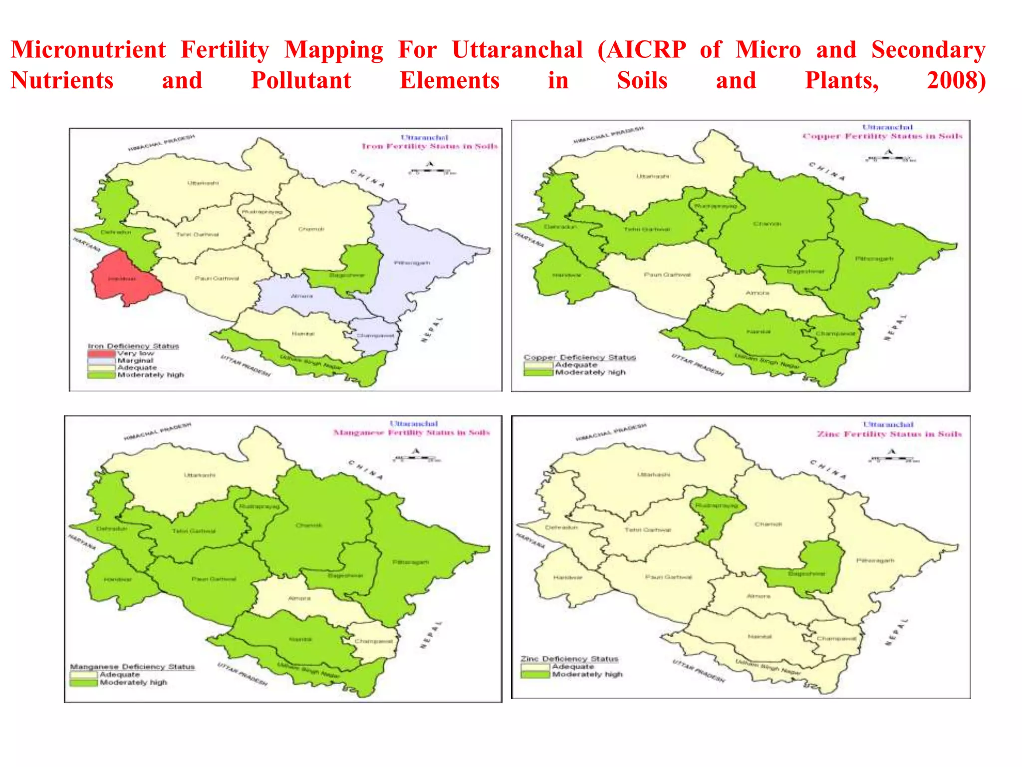
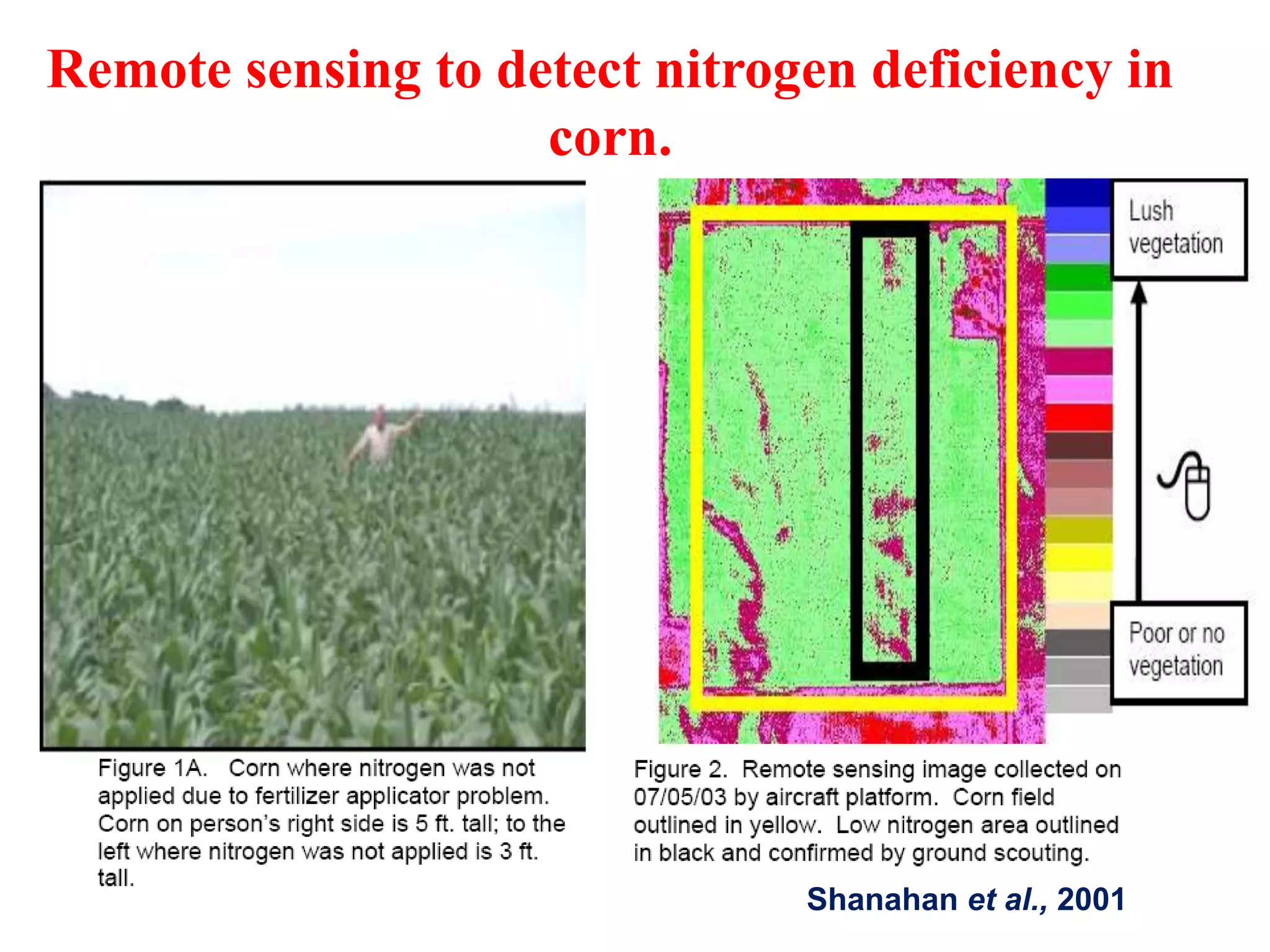


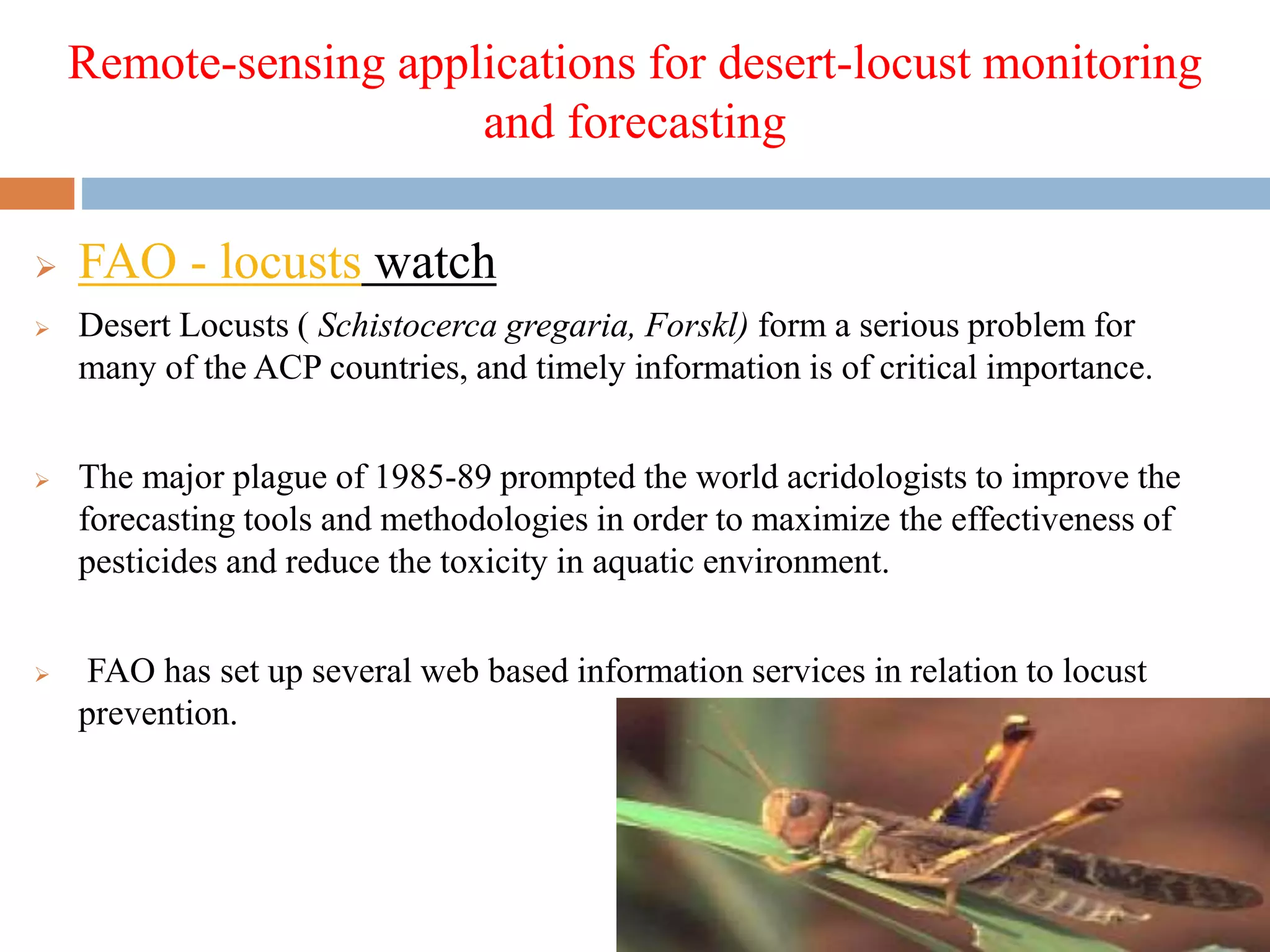


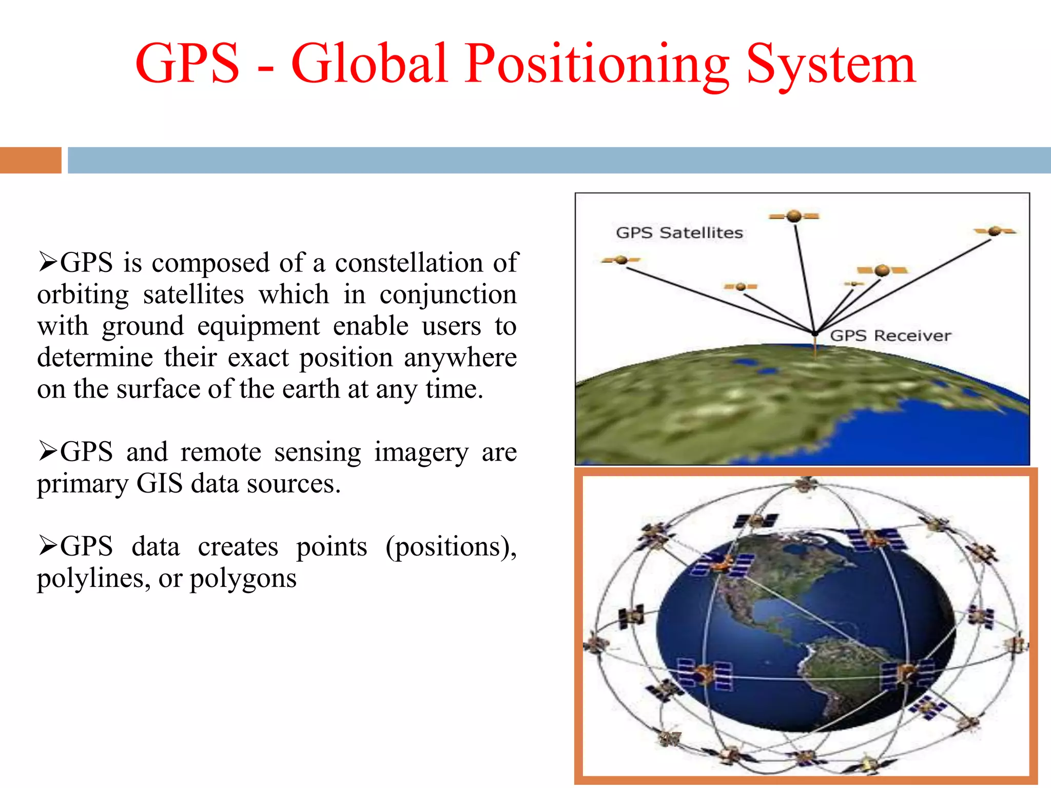


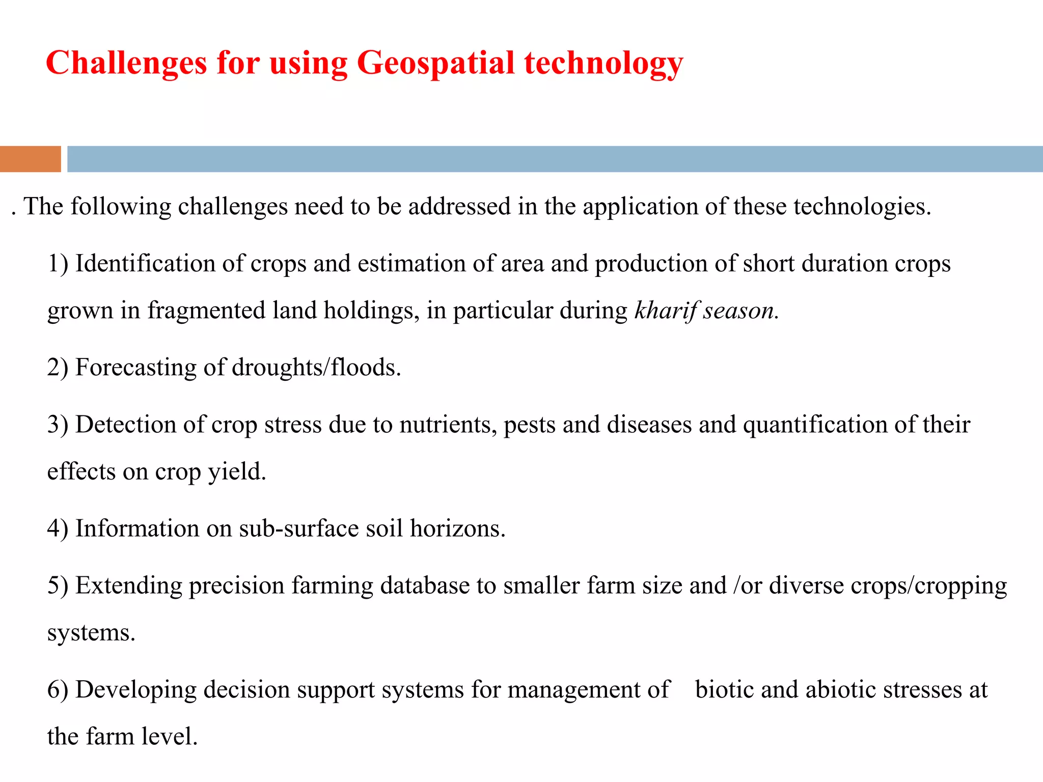
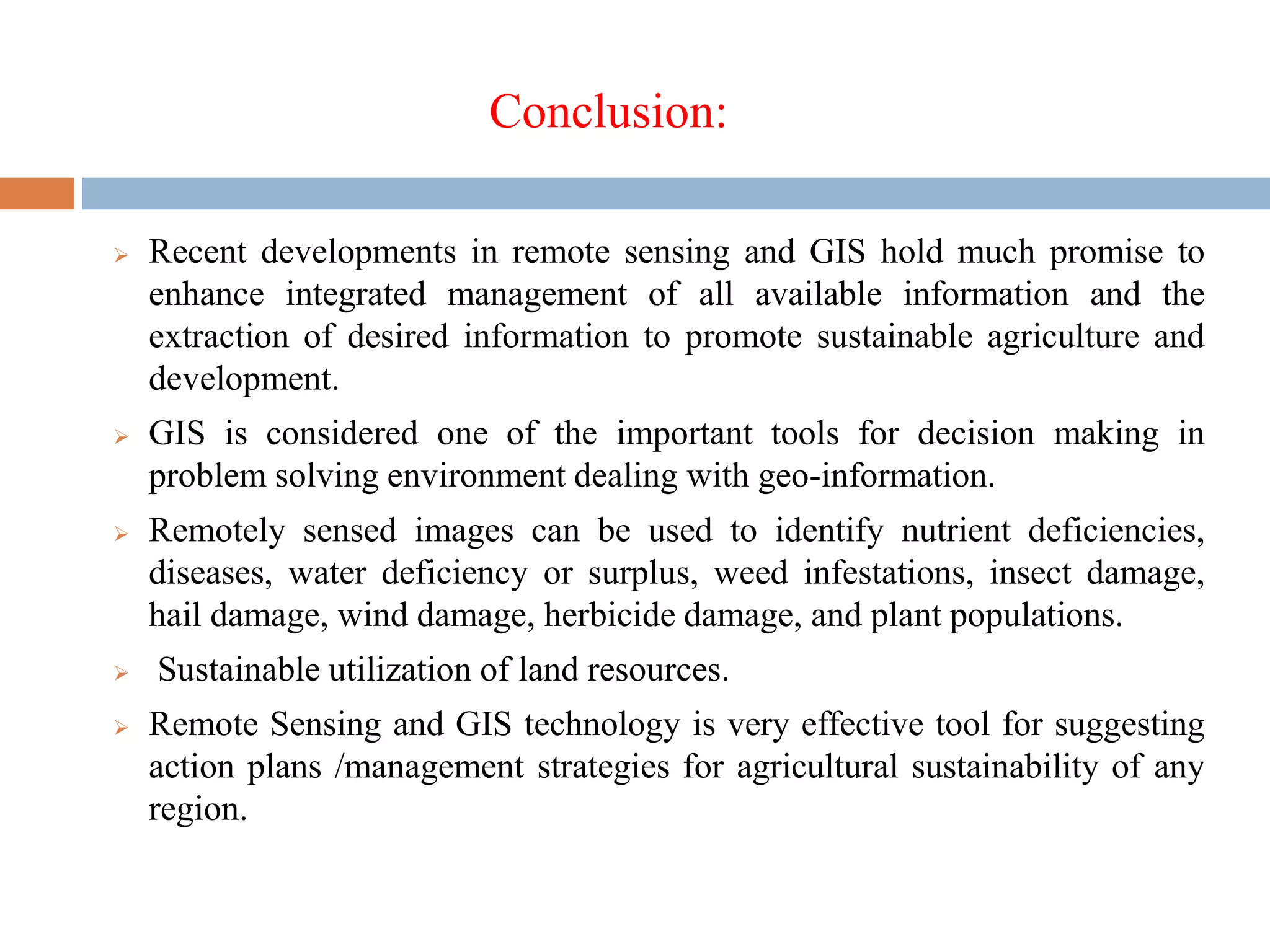


The document discusses the application of geospatial technologies in agriculture. It provides examples of how remote sensing, GIS, and GPS technologies can be used to map soil variability, detect crop health issues, monitor pests and diseases, and enable precision farming. These tools provide spatial data and analysis that can improve decision making around irrigation, fertilizer application, pest management, and more. When integrated, geospatial technologies provide valuable information to farmers and agricultural managers.


