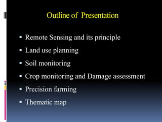
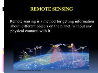
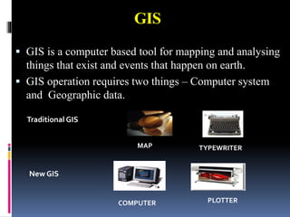
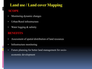
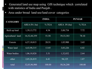
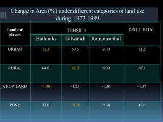
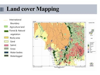
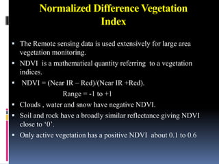
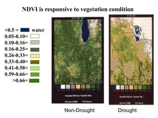
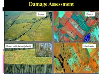
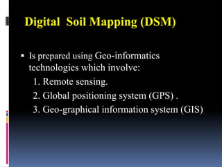
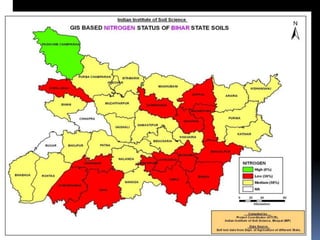
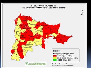
This document discusses the use of remote sensing in agriculture. It provides an overview of key remote sensing concepts and applications in land use planning, soil and crop monitoring, precision farming, and thematic mapping. Specific techniques covered include land use/land cover mapping using GIS, normalized difference vegetation index for crop monitoring, and digital soil mapping. Remote sensing is presented as a useful tool for agricultural applications like crop damage assessment, yield prediction, and site-specific farm management.