

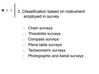
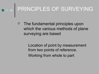
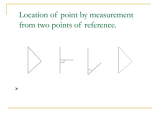

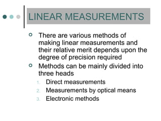
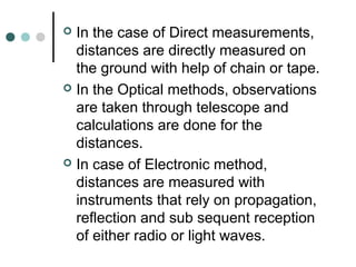
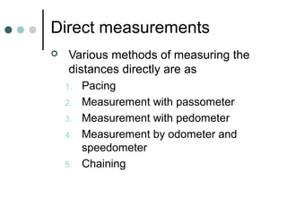
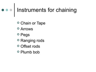
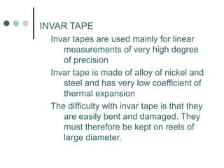

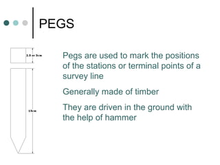
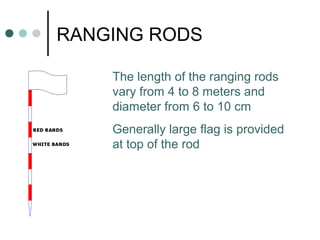
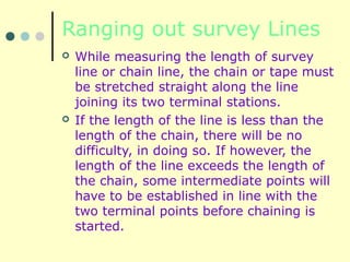
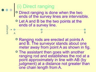
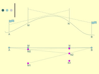
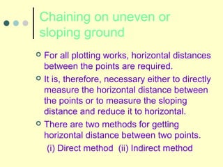

This document provides an overview of surveying and leveling. It defines surveying as determining the relative positions of points on earth through direct or indirect measurements. Leveling is a branch of surveying that finds elevations of points with respect to a datum. There are various types of surveys classified by nature, object, or instruments used. Linear measurements can be direct via chaining or indirect using optical/electronic methods. Ranging is used to establish intermediate points when a survey line exceeds the chain length.


