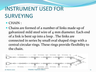
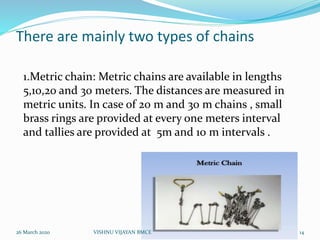
Download as PDF, PPTX


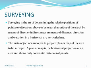
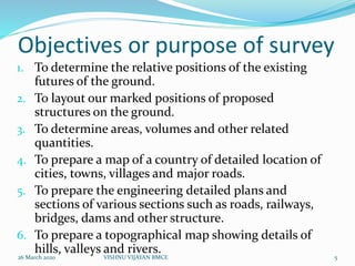
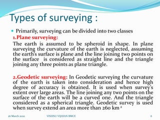


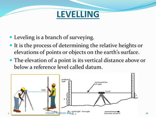
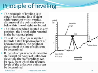
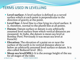
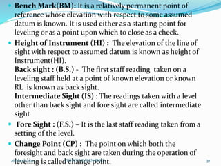
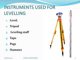
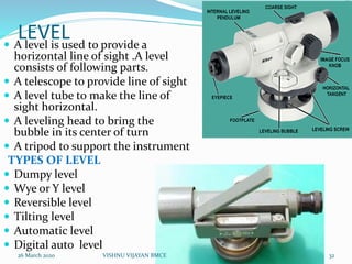
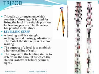
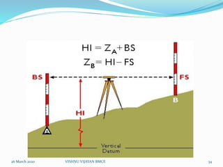
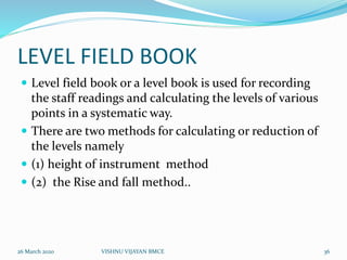

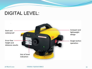


This document provides an overview of surveying and leveling. It defines surveying as determining the relative positions of points on Earth through direct or indirect measurements. The main objectives of surveying are preparing maps and plans. Leveling is defined as determining relative heights or elevations of points through direct measurement of vertical distances from a reference level. Common instruments used for leveling include a level, tripod, staff, tape, and pegs. Leveling follows the principle of obtaining a horizontal line of sight to measure vertical distances of points above or below this line. Key leveling terms defined include bench mark, height of instrument, backsight, foresight, and change point. Methods for recording level data in a field book are also


