Download as PDF, PPTX
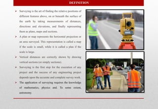

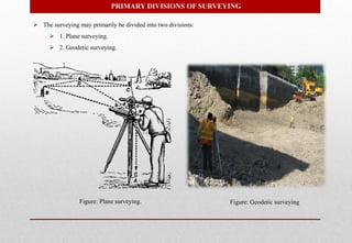


The document provides an overview of surveying, including: 1) Surveying involves taking measurements of distances, directions, and elevations to represent the relative positions of features on or beneath the Earth's surface as plans, maps, and sections. 2) Surveying is divided into plane and geodetic surveying, with plane surveying ignoring Earth's curvature over small areas and geodetic surveying accounting for curvature over large areas. 3) Accurate surveying is essential for the planning, design, and execution of engineering projects.


