Downloaded 33 times
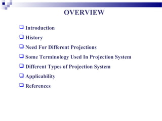
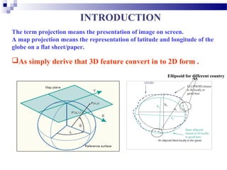

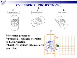
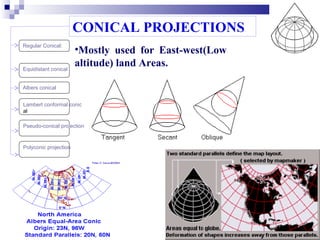

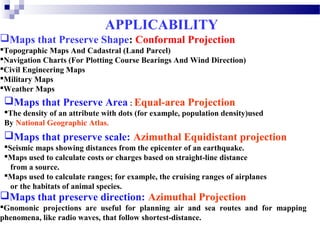
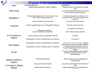


This document discusses different map projections and their uses. It begins with an introduction to projections and why they are needed to represent the spherical Earth on a flat surface. It then covers key terminology, different types of projections including cylindrical, conical and azimuthal, and which projection types are best suited for different regions and purposes based on whether they preserve properties like shape, area, or distance. The document provides examples of commonly used projections for specific regions and concludes with references.