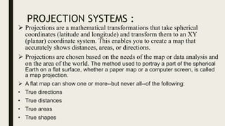
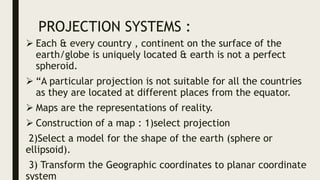
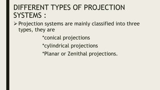
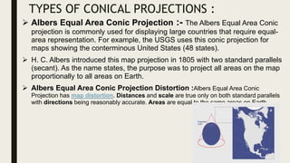
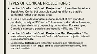
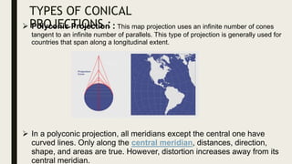
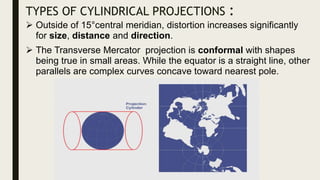
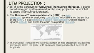
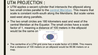
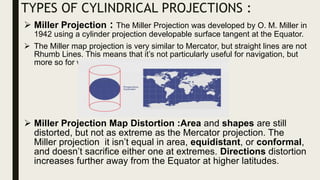
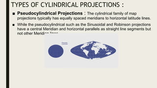
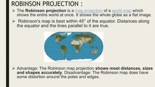
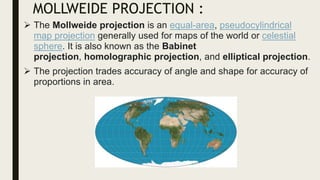
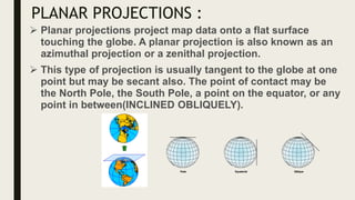
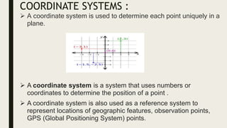
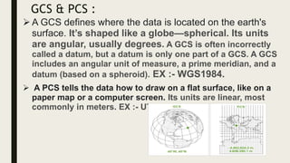
The document discusses various projection systems used in cartography to transform spherical coordinates into planar coordinates, emphasizing their importance for accurately depicting distances, areas, and directions on maps. It categorizes projection systems into conical, cylindrical, and planar (zenithal), detailing specific types such as the Albers equal area conic and Mercator projections, along with their properties and distortions. Additionally, it explains coordinate systems, distinguishing between geographic coordinate systems (GCS) and projected coordinate systems (PCS) used for mapping geographic features.


![CTR_ppresentation[1RRRRRRRRRRRRRRRRR].pptx](https://cdn.slidesharecdn.com/ss_thumbnails/ctrppresentation1-250330155714-ac87e8bd-thumbnail.jpg?width=640&height=640&fit=bounds)


