Downloaded 219 times
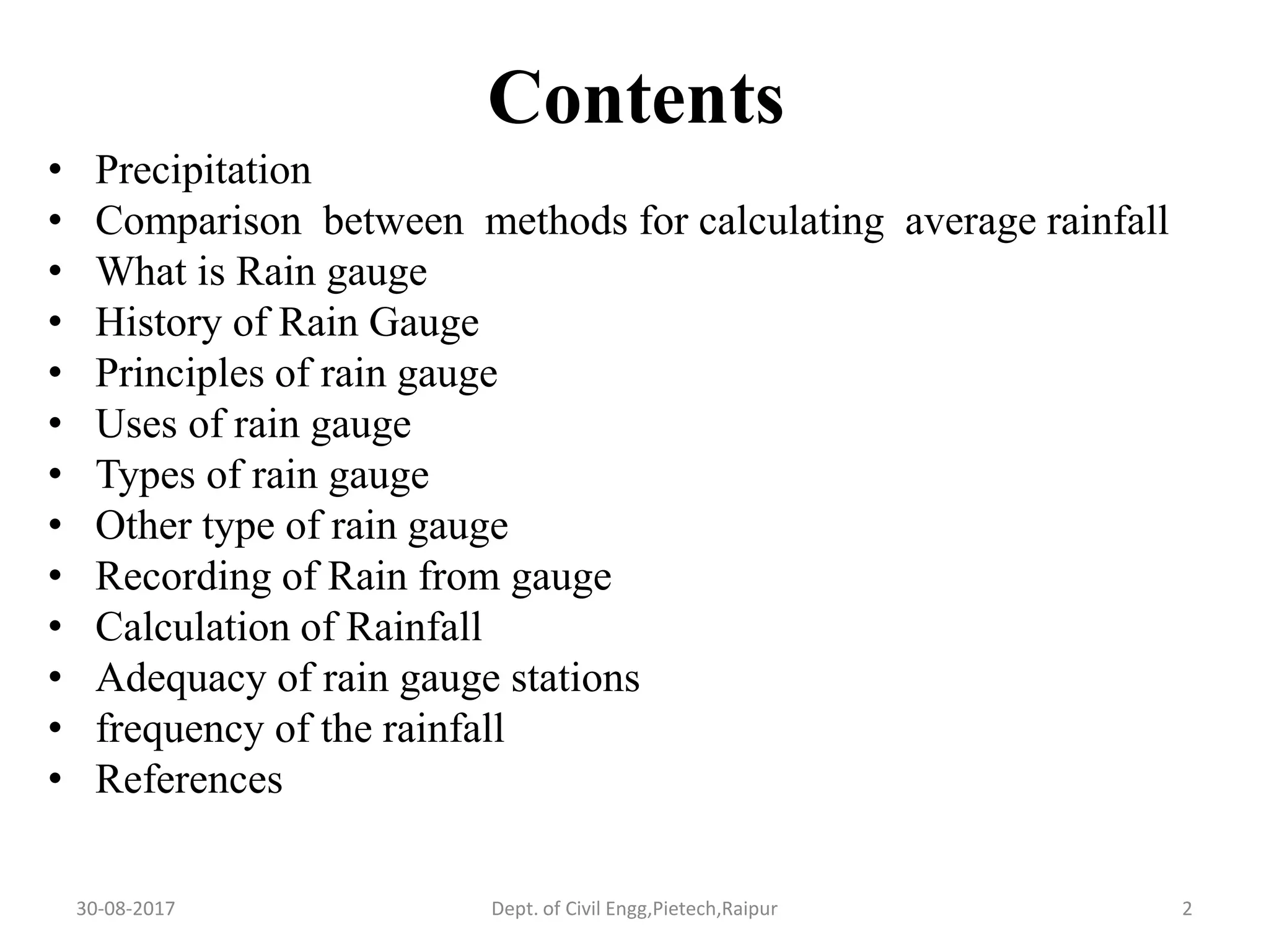
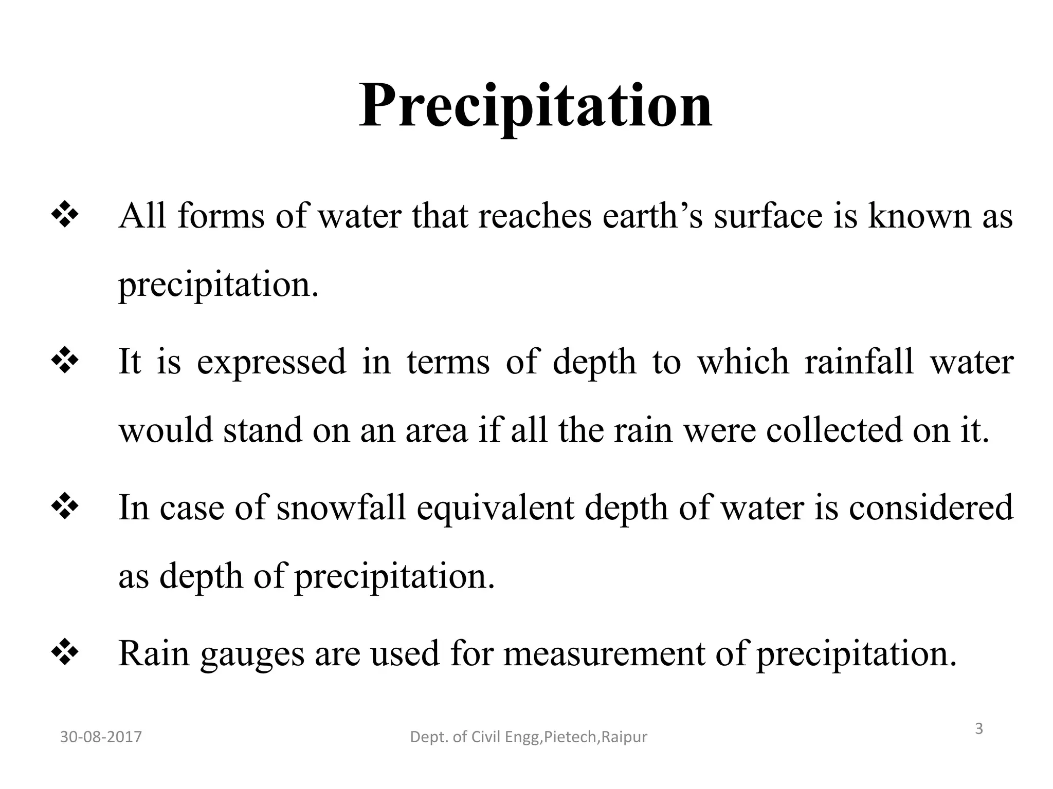
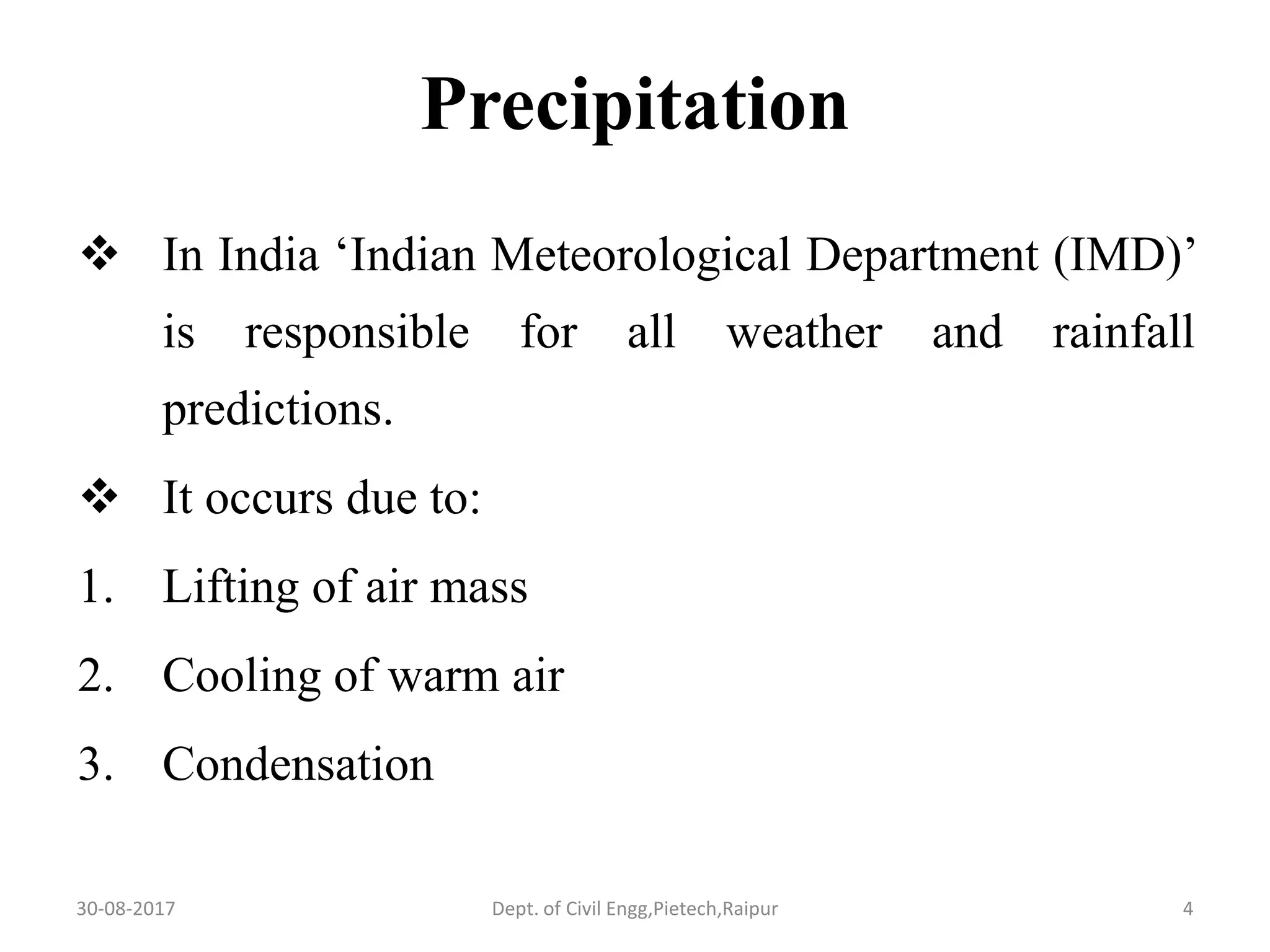
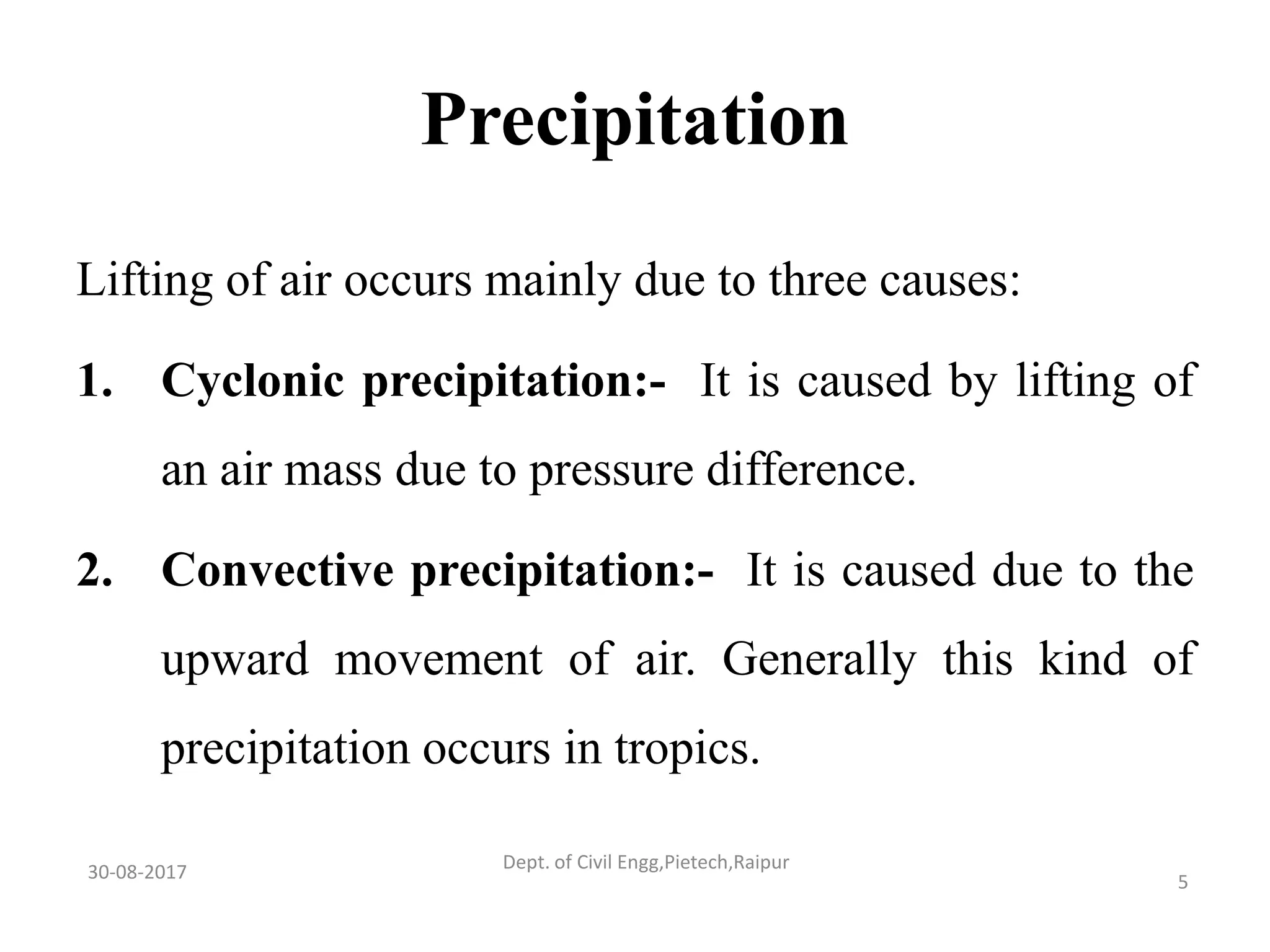
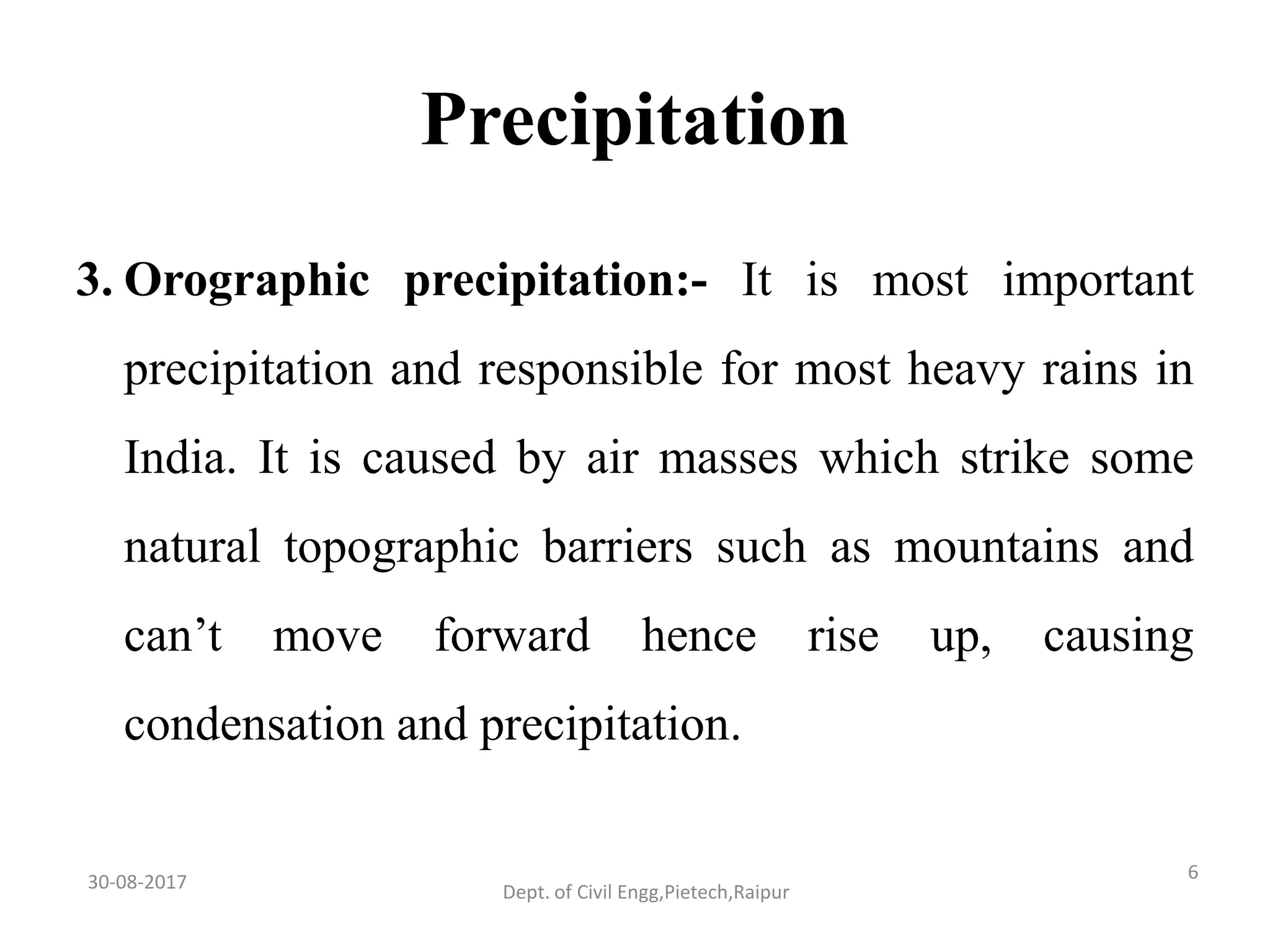
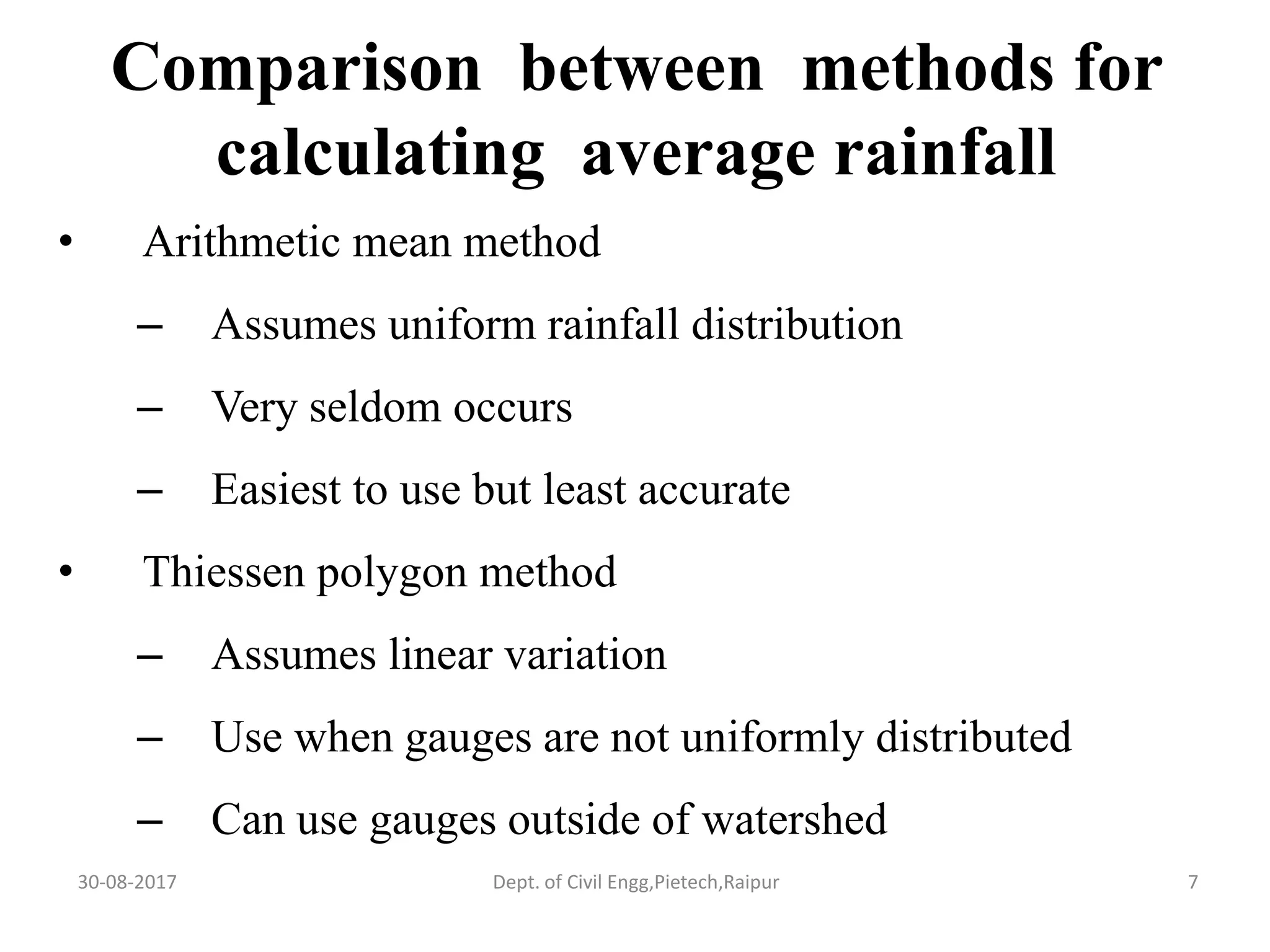
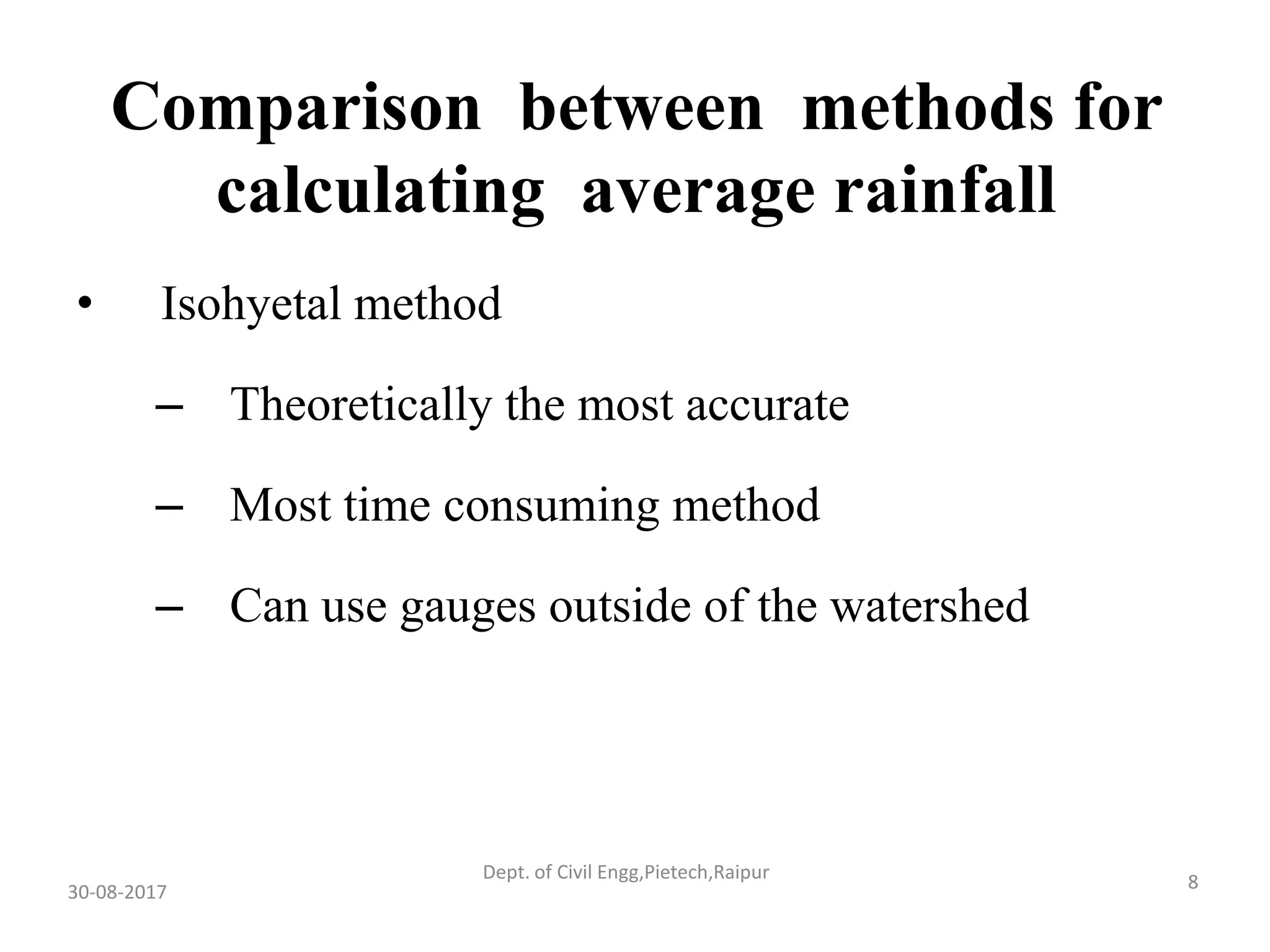
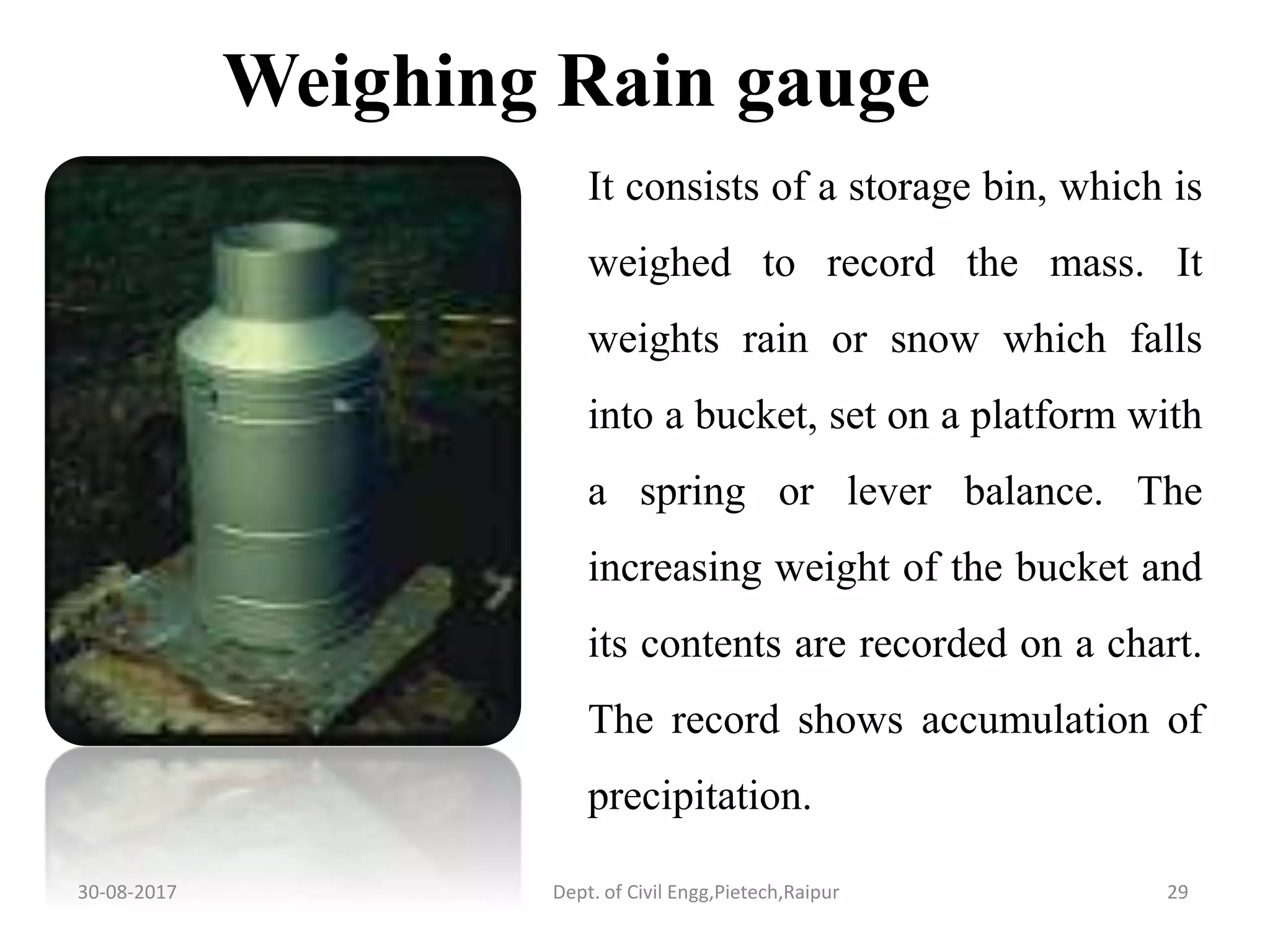
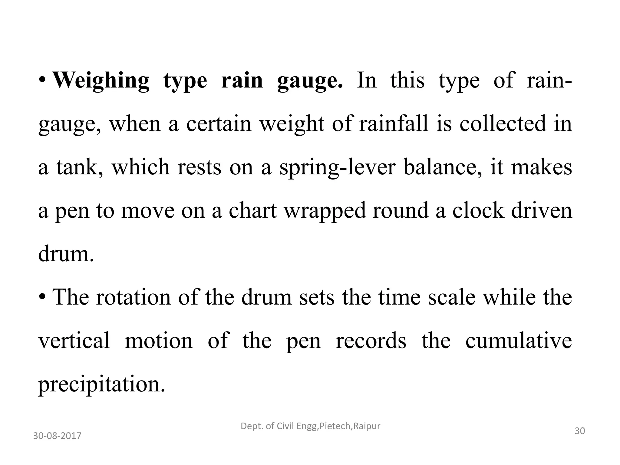
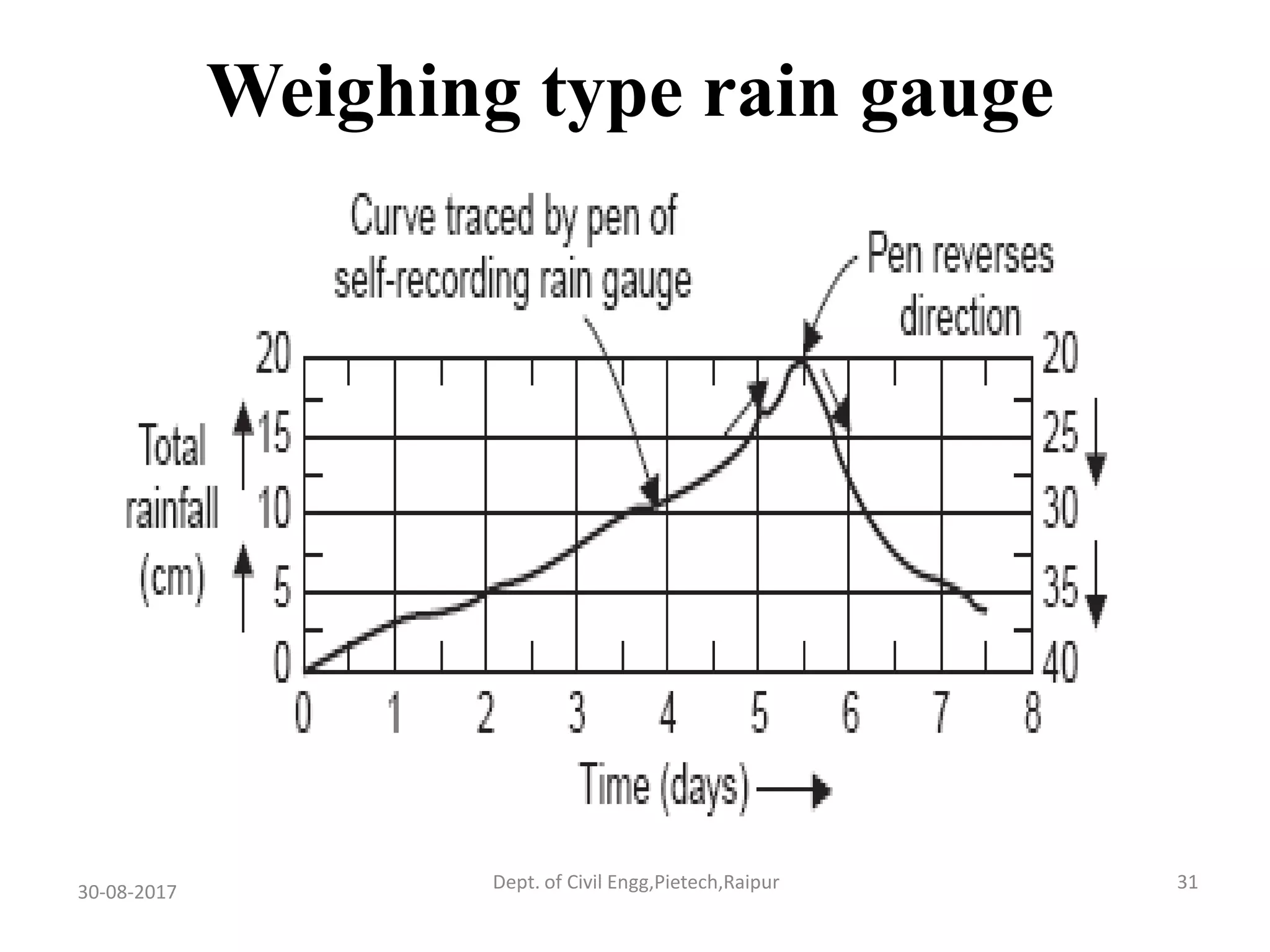


The document, prepared by Shashikant Verma, provides a comprehensive overview of precipitation measurement, focusing on rain gauges, their types, history, principles, and calculation methods. It discusses various types of precipitation, methods for averaging rainfall, and the significance of rain gauge placement and maintenance in India. Additionally, it outlines the frequency of rainfall and its computation, supported by references for further reading.


