Downloaded 191 times


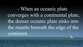

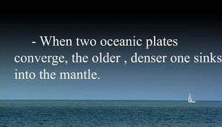

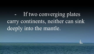
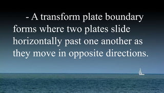
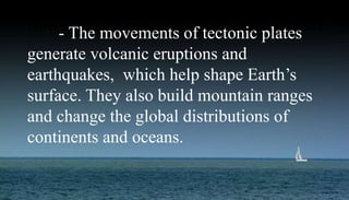
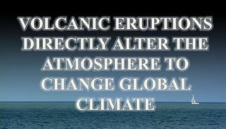


The document summarizes key concepts of plate tectonic theory. It explains that the lithosphere is made up of rigid tectonic plates that float on the asthenosphere and move at rates of 1-16 cm/year. There are three main types of plate boundaries - divergent where plates move apart, convergent where they move together, and transform where they slide past each other. Plate tectonics generates phenomena like earthquakes, volcanoes, mountain building and affects climate by moving continents and oceans over geologic time.


