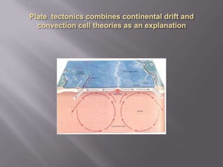
The document summarizes plate tectonics, providing details on:
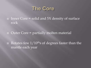
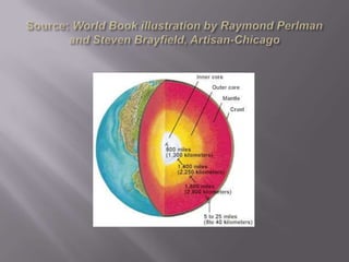
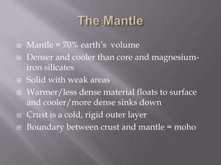
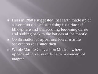
1) The structure of the Earth's core and mantle, and how convection currents cause plate movements.
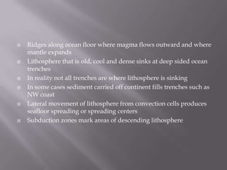
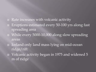
2) Evidence for plate tectonics including seafloor spreading and magnetic reversals in ocean crust.
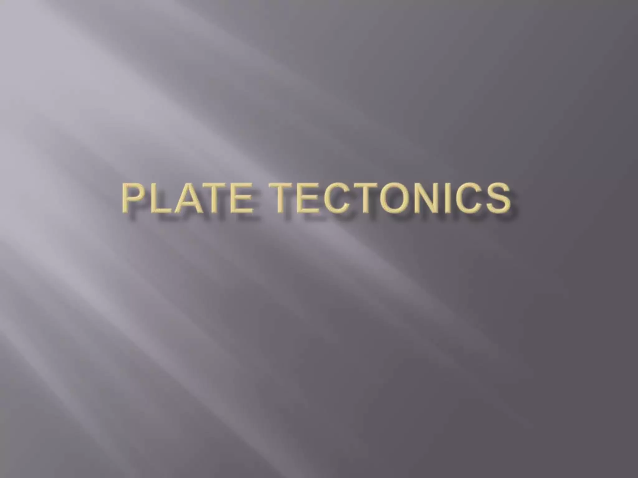
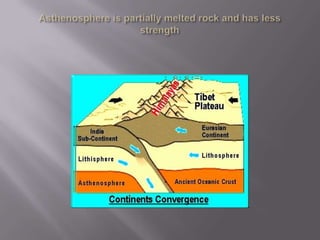
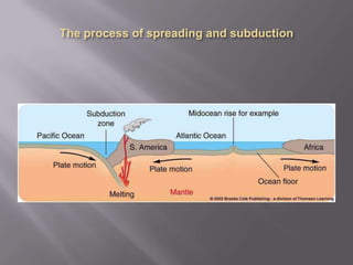
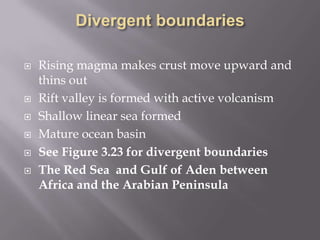
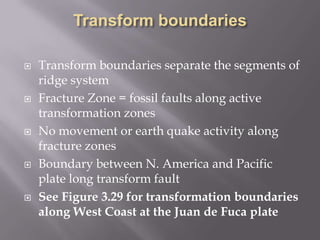
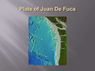
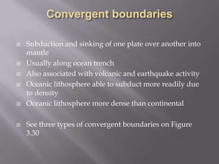
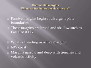
3) The three types of plate boundaries and associated geological features like ocean trenches and volcanic activity.