This document discusses modern survey techniques, including electronic distance measurement (EDM), total stations, and global positioning systems (GPS). It provides details on:
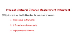
- The three methods of EDM - microwave, infrared, and light wave instruments.
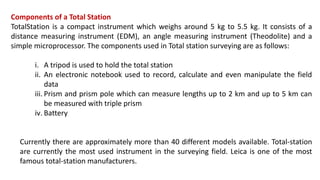
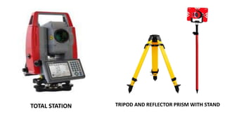
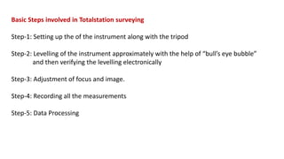
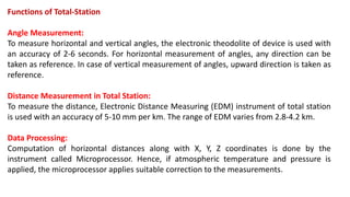
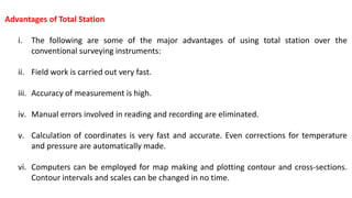
- The components, operation, and applications of total stations, including advantages over conventional surveying.
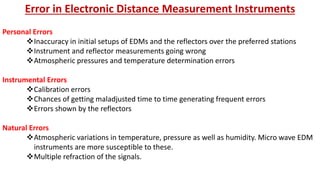
- Sources of error in EDM and total station surveys.
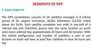
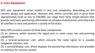
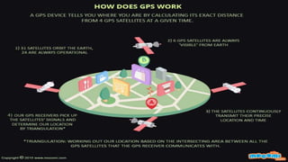
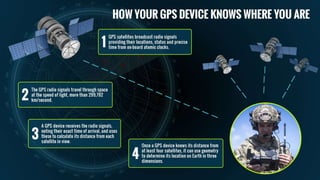
- How GPS uses satellites to determine receiver location and its use in surveying applications.