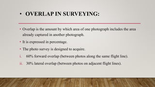
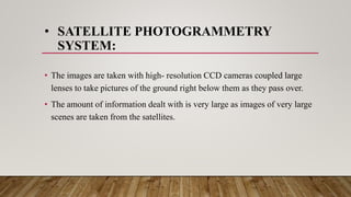
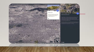
Photogrammetry is the technology of obtaining information about objects and environments through photographic images, with applications in creating 3D documentation, mapping, and landscape analysis. Key components for effective use include location, camera settings, and movement, while advancements like aerial and terrestrial photogrammetry enhance data accuracy and detail. The document also covers the importance of mapping techniques, overlaps in surveying, orthophotos, and the role of satellite imagery in photogrammetric projects.