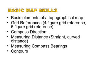
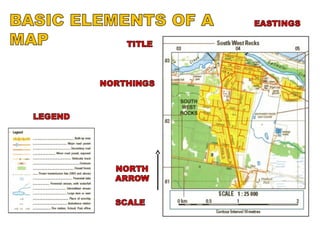
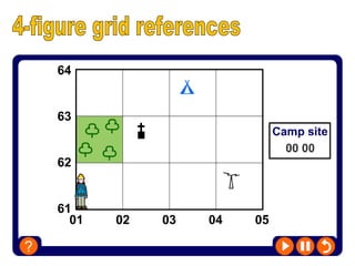
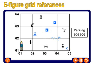
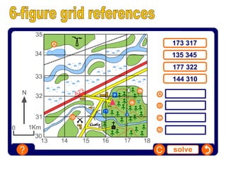
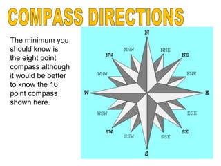
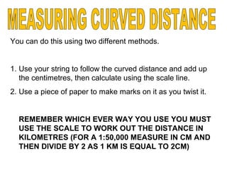
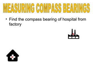
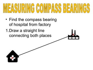
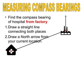
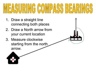
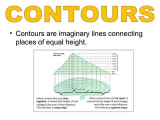
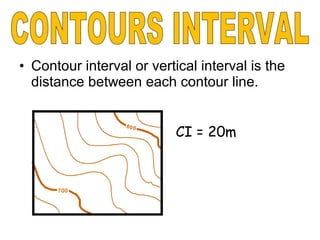
This document provides instructions on how to interpret and use a topographical map, including how to determine grid references, compass directions, measure distances and compass bearings, interpret contours, and use an 8- or 16-point compass. It explains how to measure straight and curved distances on a map using a string or paper and the scale. It also outlines the three step process to find the compass bearing between two locations by drawing a line between them, adding a north arrow, and measuring clockwise from north. Finally, it defines that contours connect areas of equal height and that the contour interval is the vertical distance between each contour line.