Downloaded 118 times
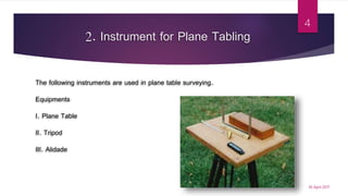
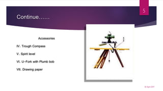
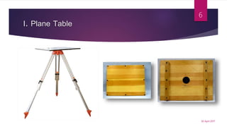
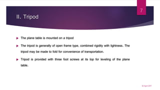
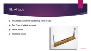


This document discusses plane table surveying. It provides details on: 1. The instruments used for plane table surveying including the plane table, tripod, alidade, trough compass, spirit level, U-fork with plumb bob, and drawing paper. 2. The advantages of plane table surveying including its simplicity, low cost, and ability to eliminate mistakes in field books. 3. The methods used for plane table surveying such as radiation, intersection, traversing, and resection along with special resection methods.


![Module-III SURVEYING-I [BTCVC304]](https://cdn.slidesharecdn.com/ss_thumbnails/module-iii-191020180049-thumbnail.jpg?width=640&height=640&fit=bounds)


