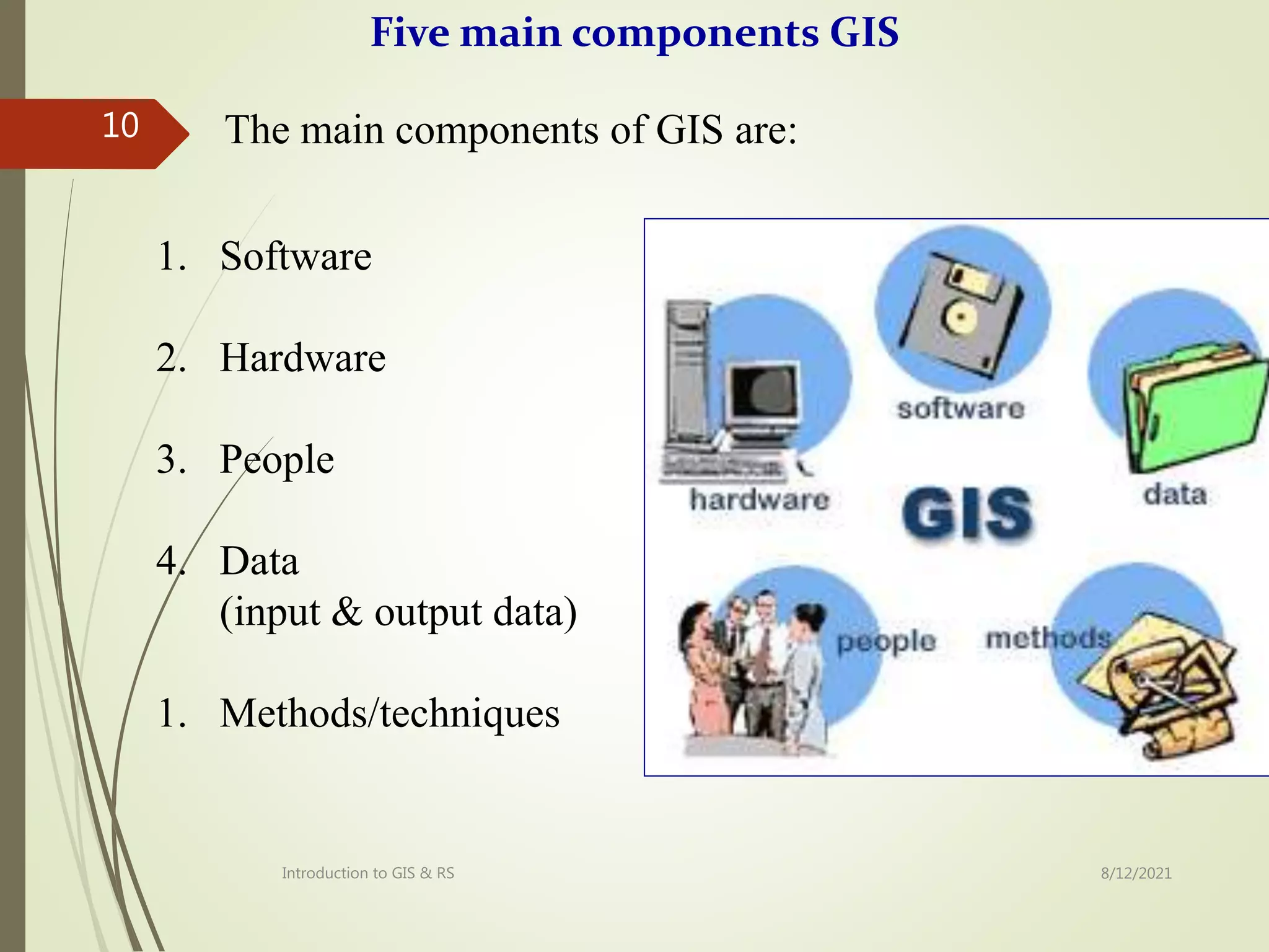
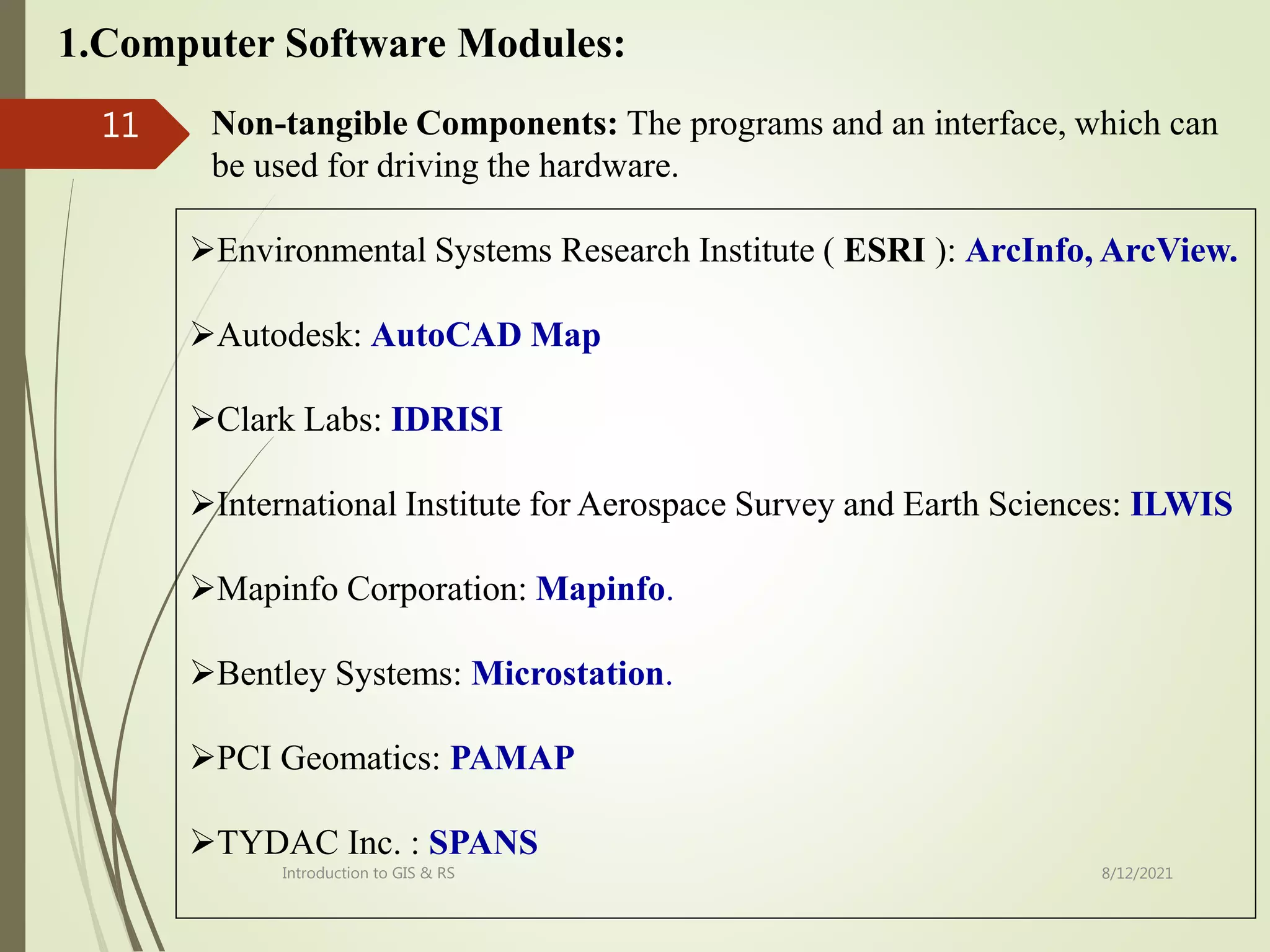
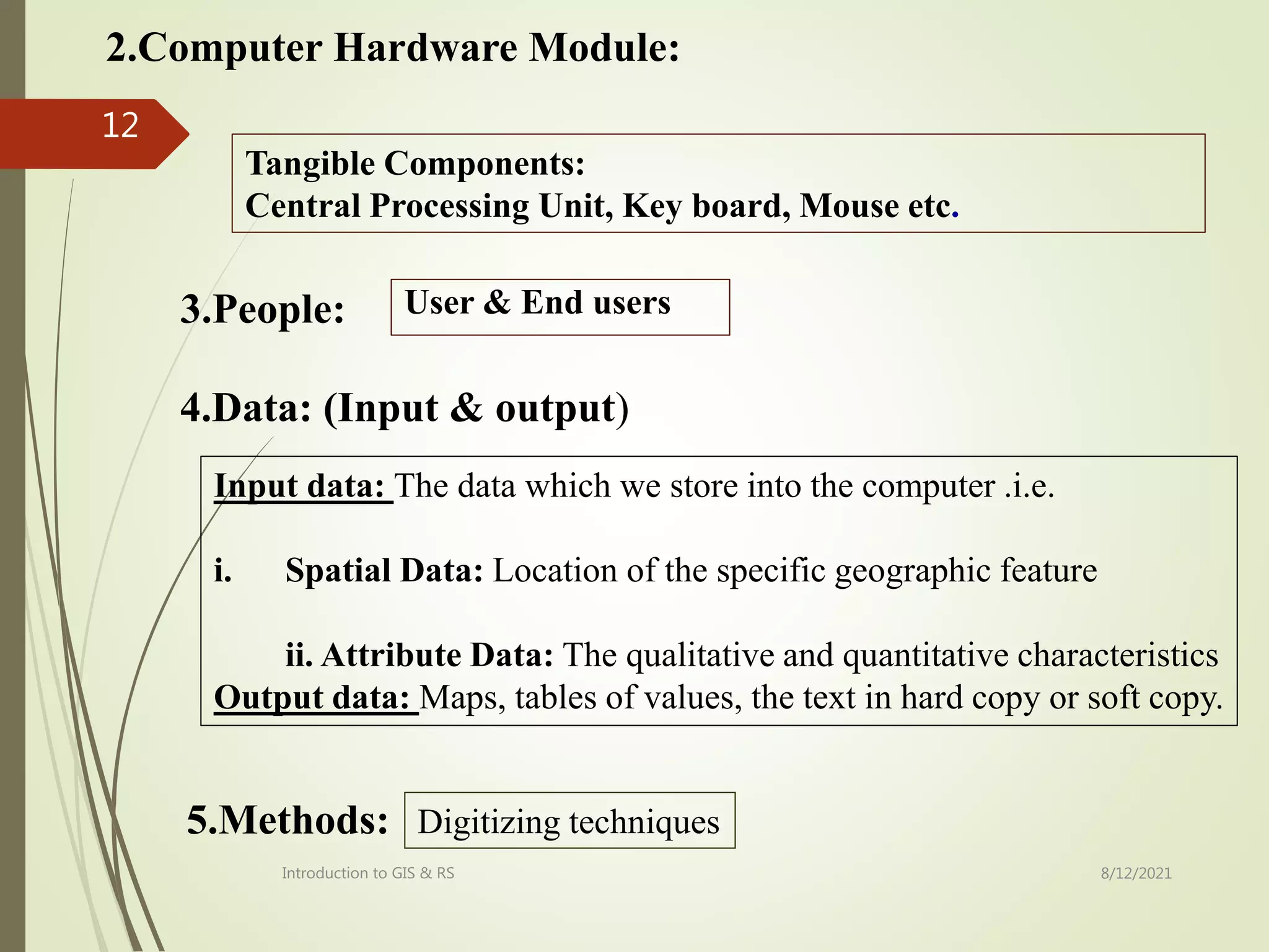
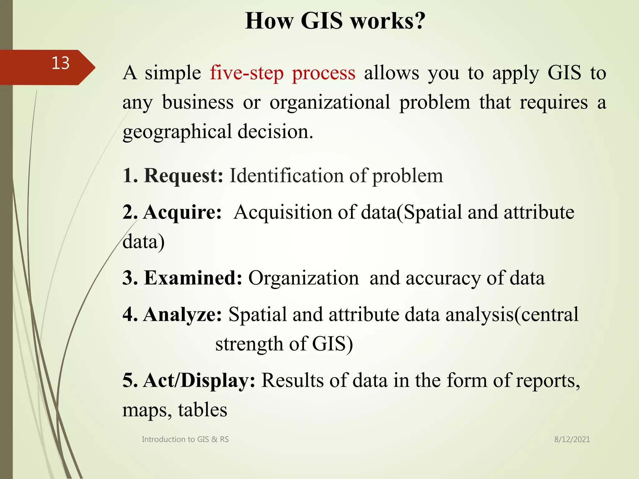
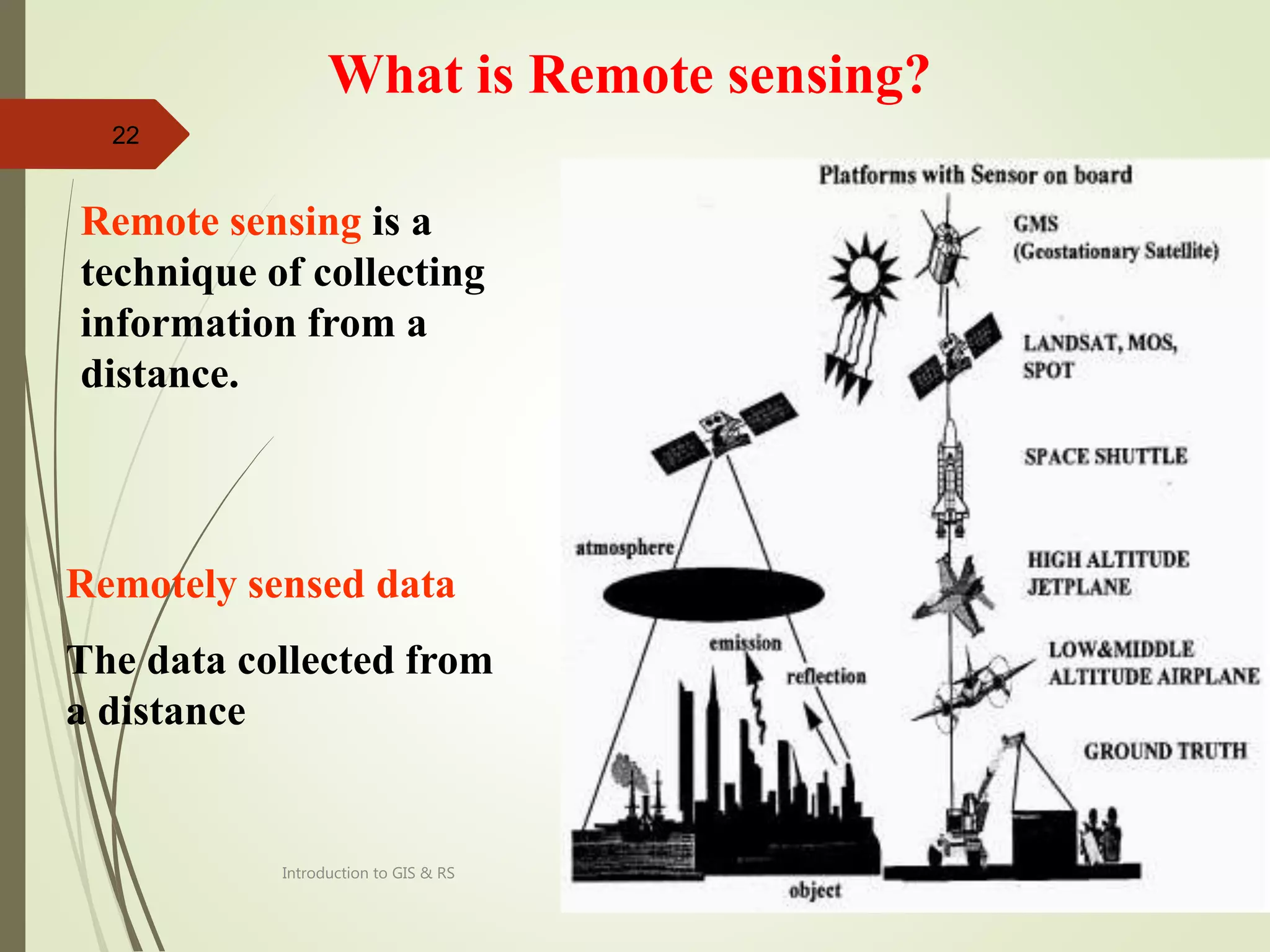
The document provides an introduction to remote sensing including:
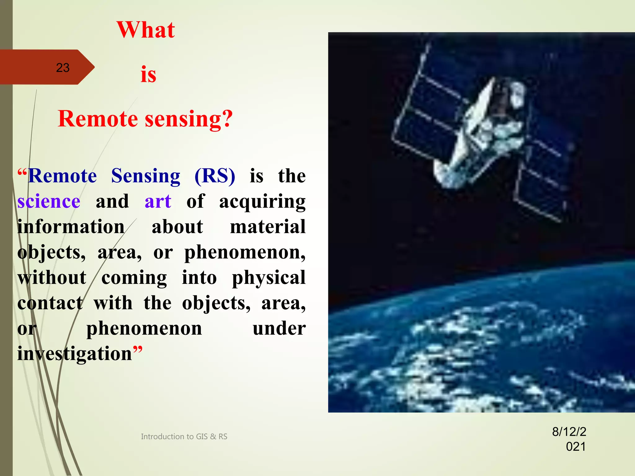
- A definition of remote sensing as collecting information about objects or areas from a distance without physical contact.
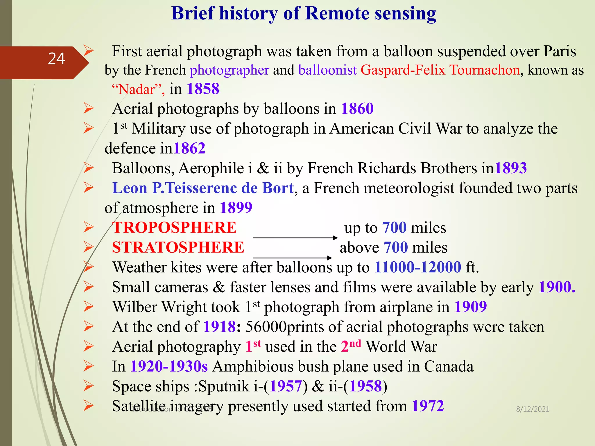
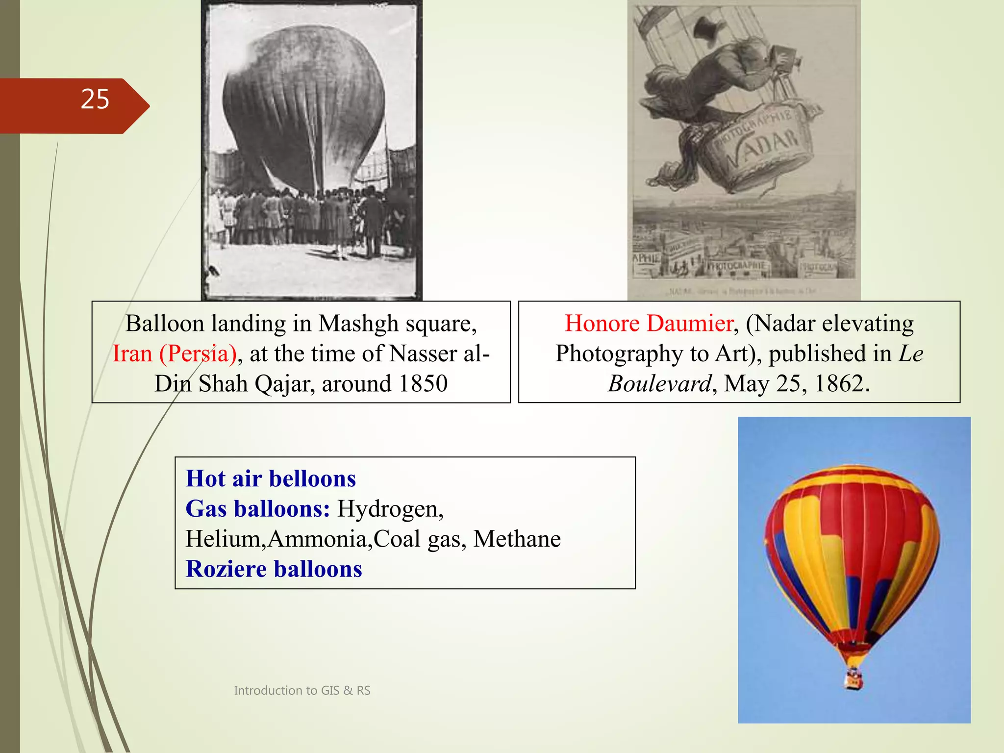
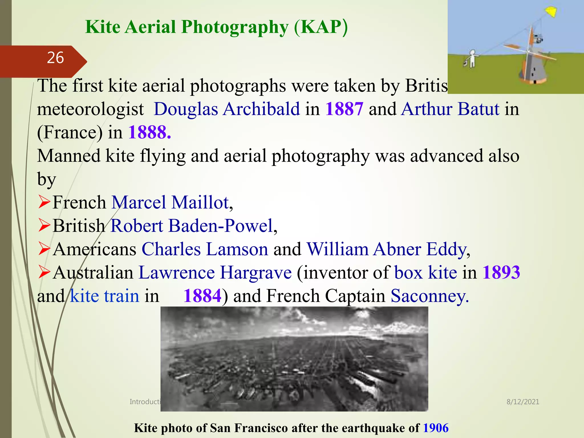
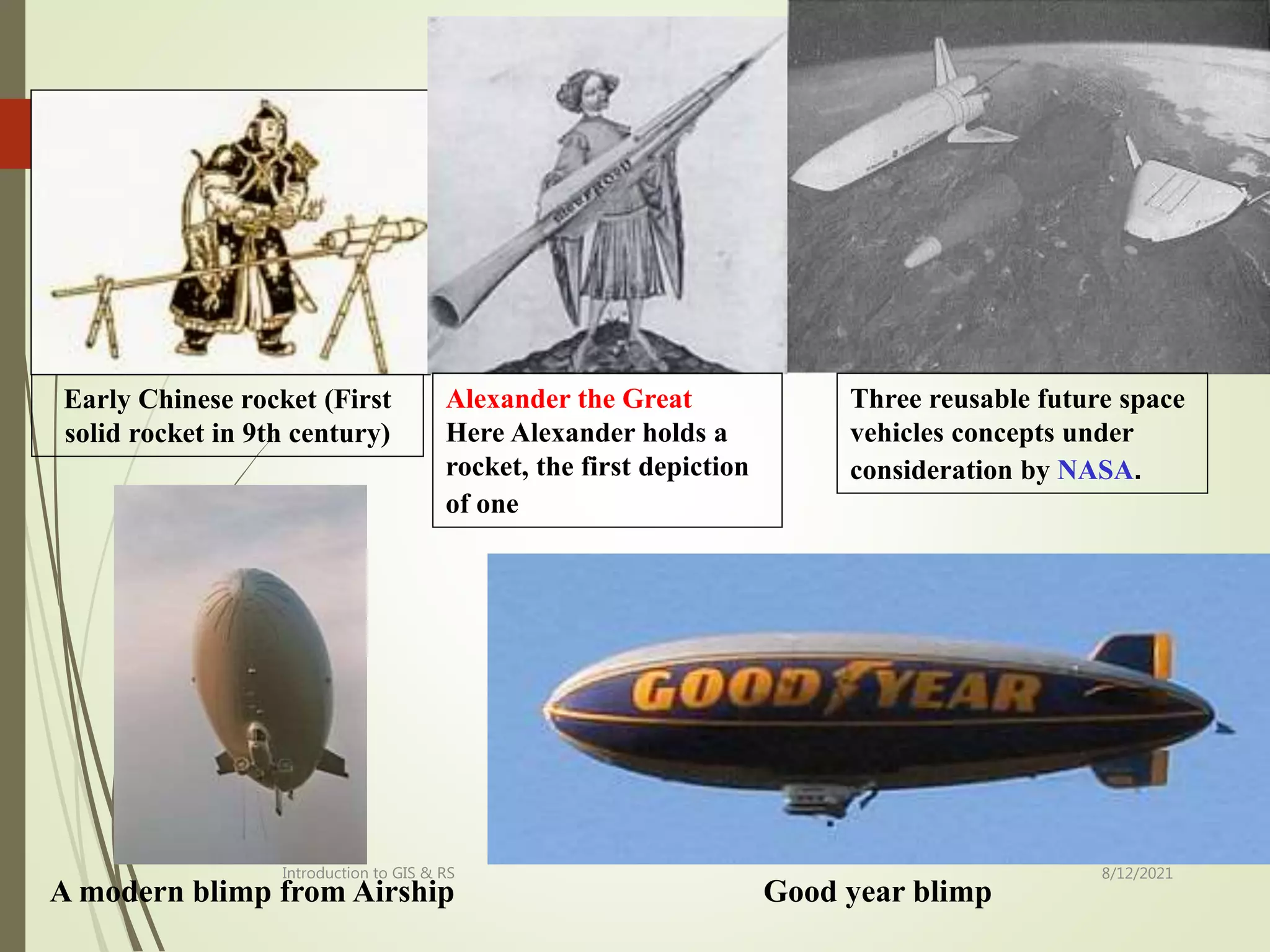
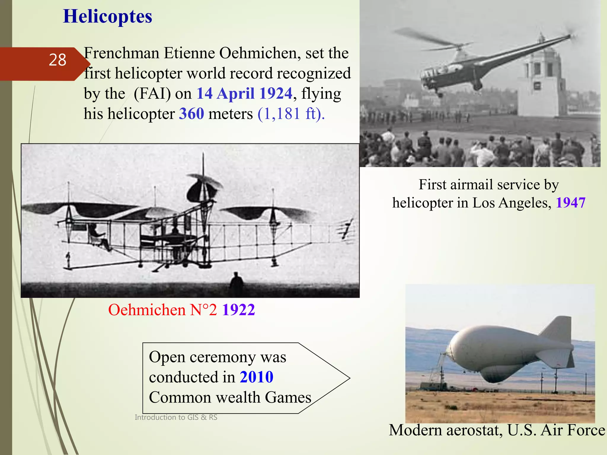
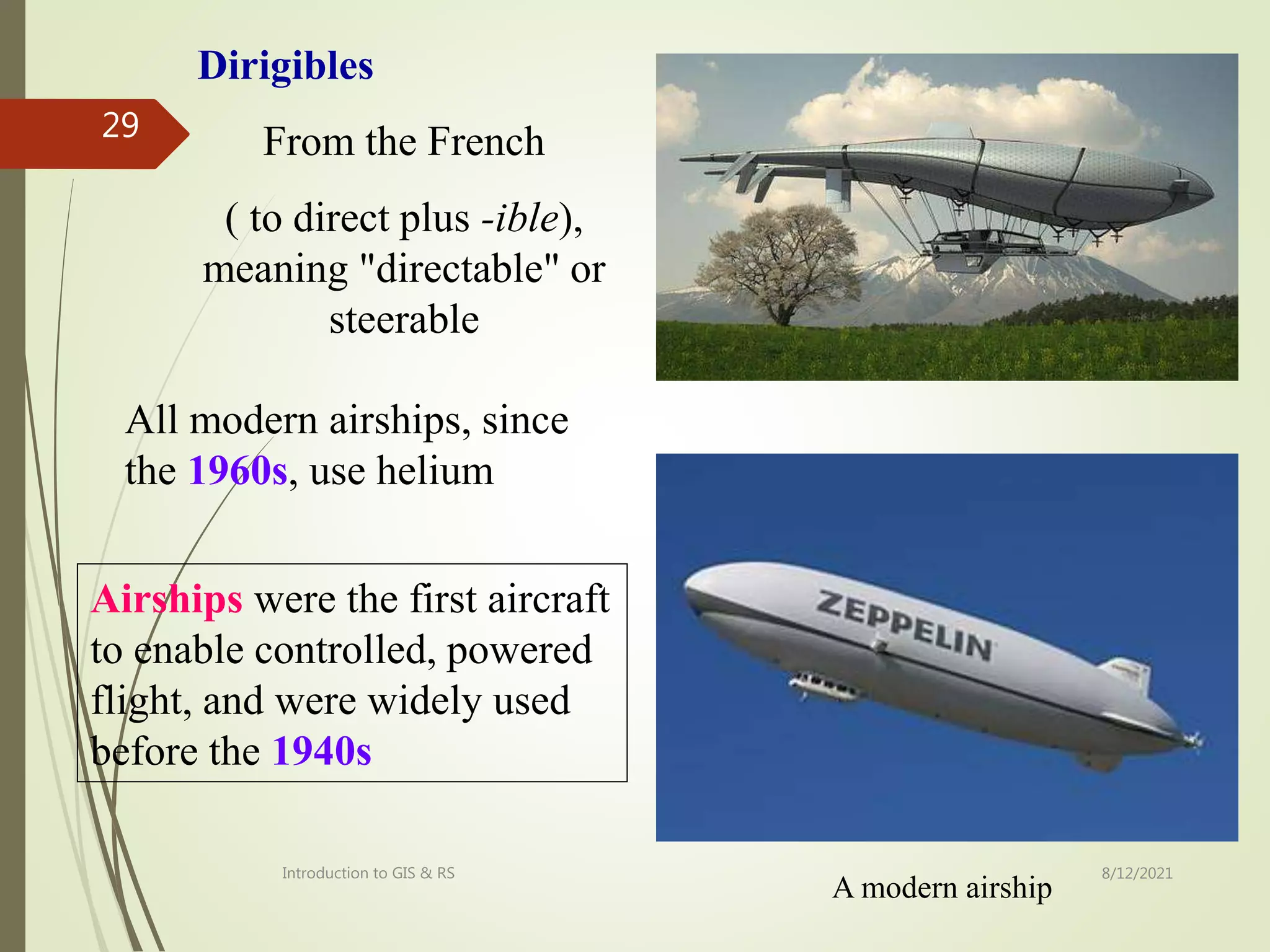
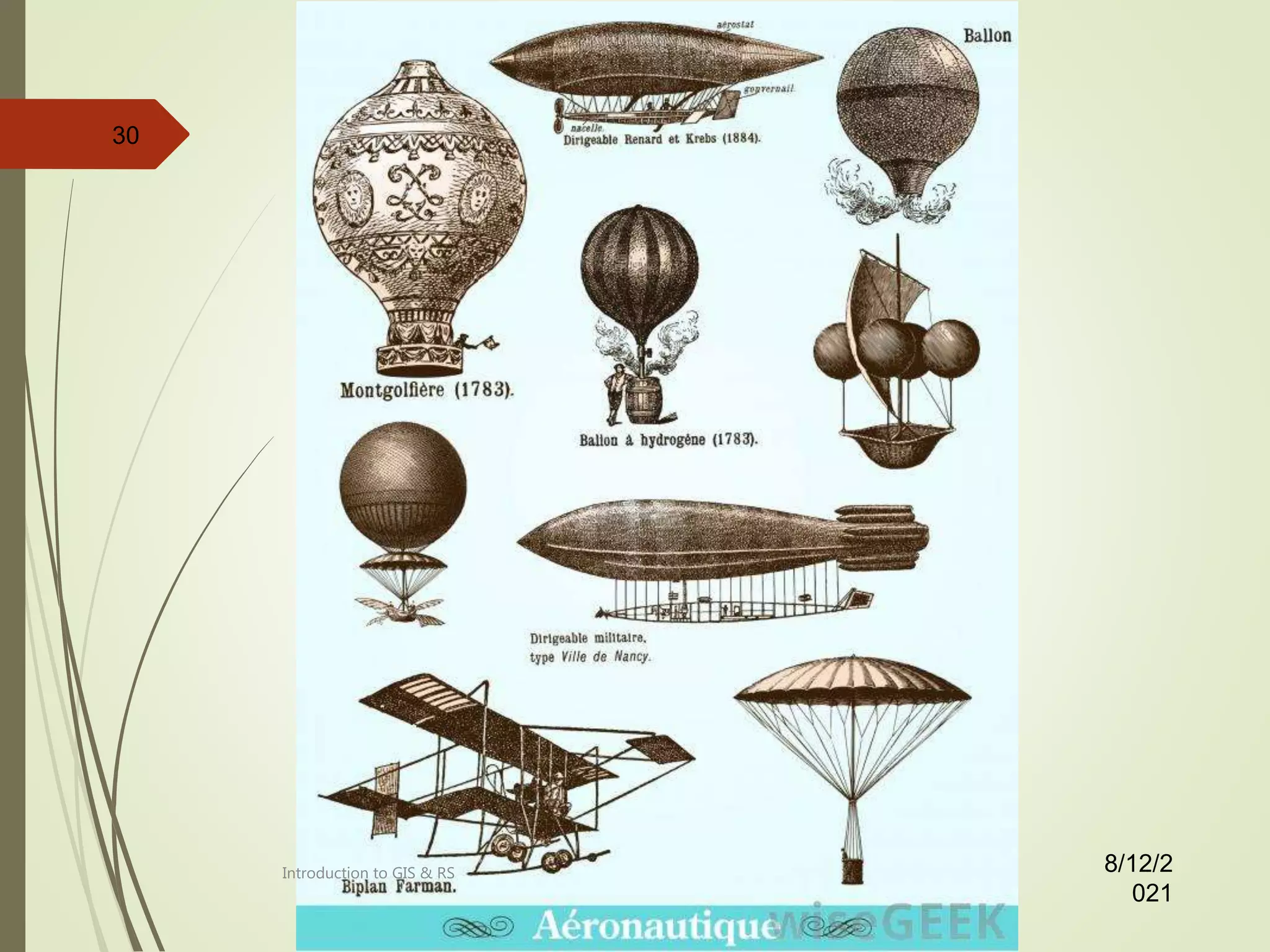
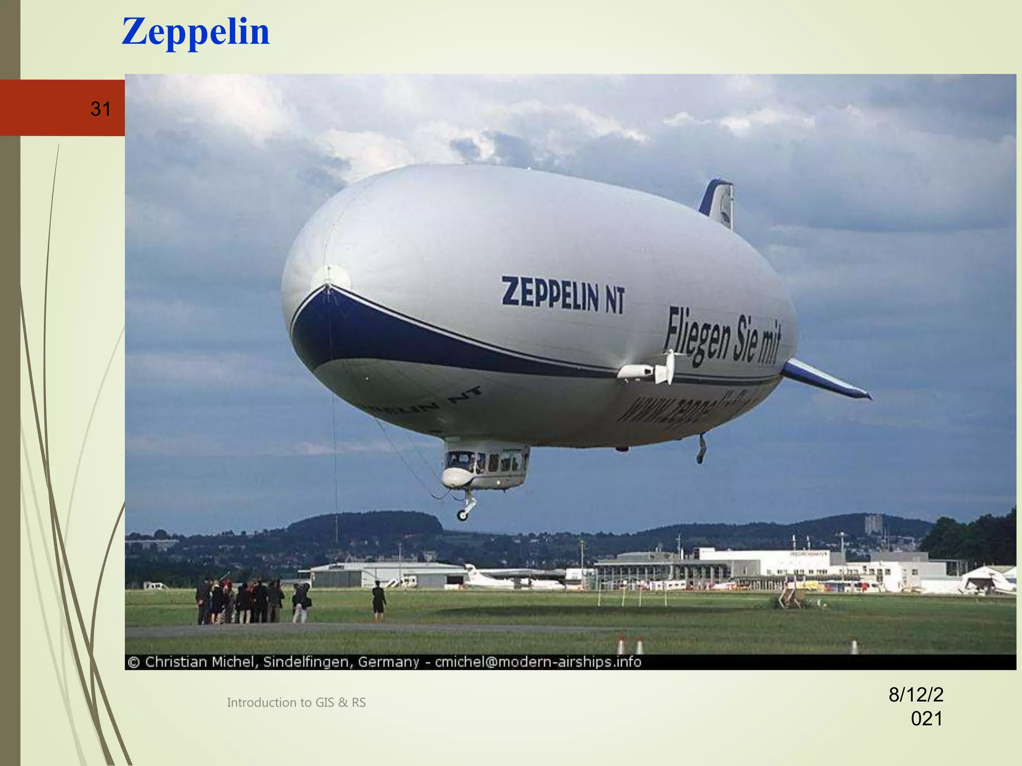
- An overview of the history of remote sensing from early aerial photography using balloons and airplanes to modern satellite imagery.
- An explanation that remote sensing is a spatial data acquisition technique that collects remotely sensed data from various platforms and sources.


![Pollution.ppt [Autosaved].ppt yogesh kumbhar](https://cdn.slidesharecdn.com/ss_thumbnails/pollution-251205194856-d30cfee8-thumbnail.jpg?width=640&height=640&fit=bounds)


