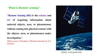
The document presents a lecture by Rehana Jamal on the basics of Remote Sensing (RS) and Geographic Information Systems (GIS). RS is defined as the science of acquiring information from a distance without physical contact, while GIS is a system for collecting, storing, and analyzing spatial data related to the Earth's surface. Key definitions of GIS highlight its role in data integration and spatial analysis.