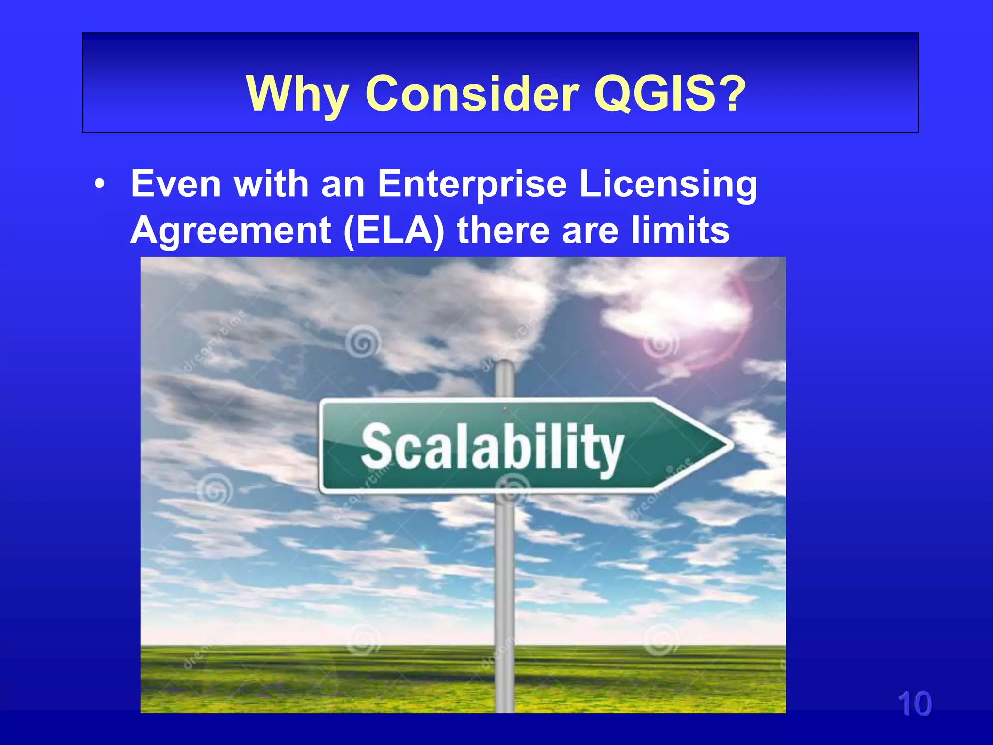
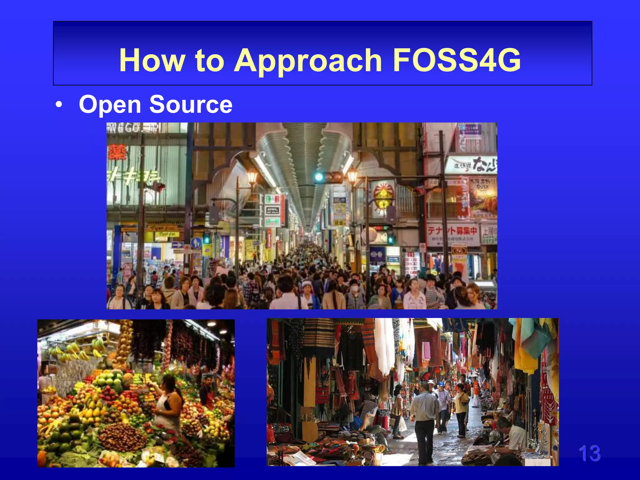
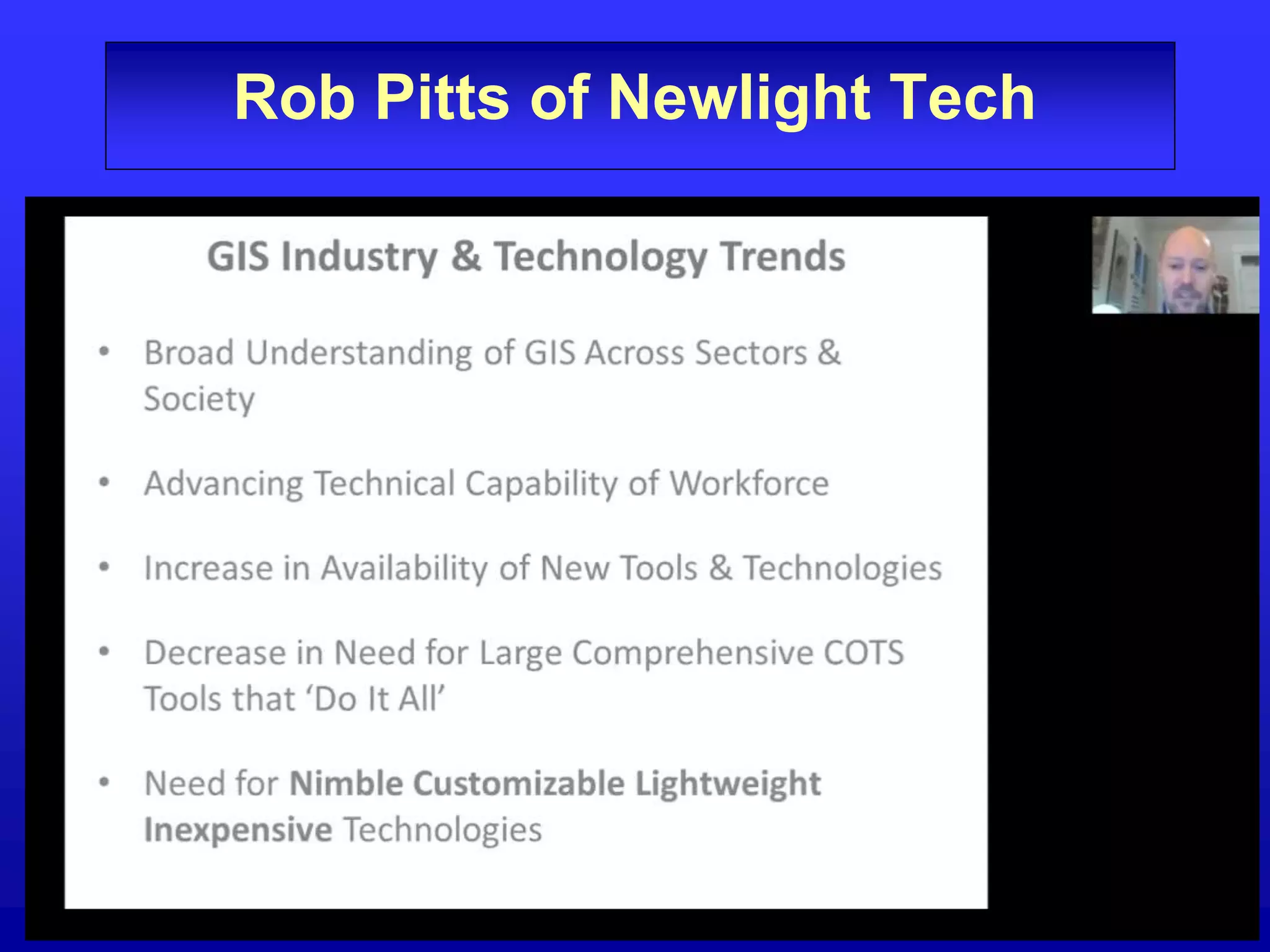
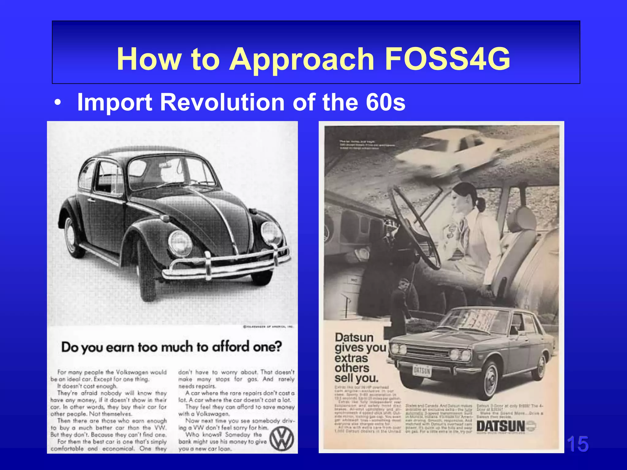
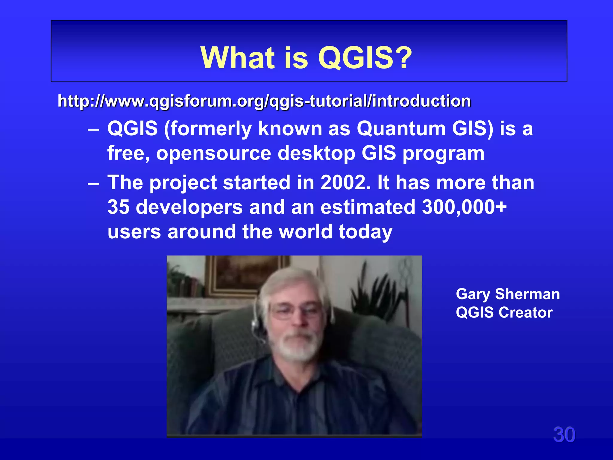
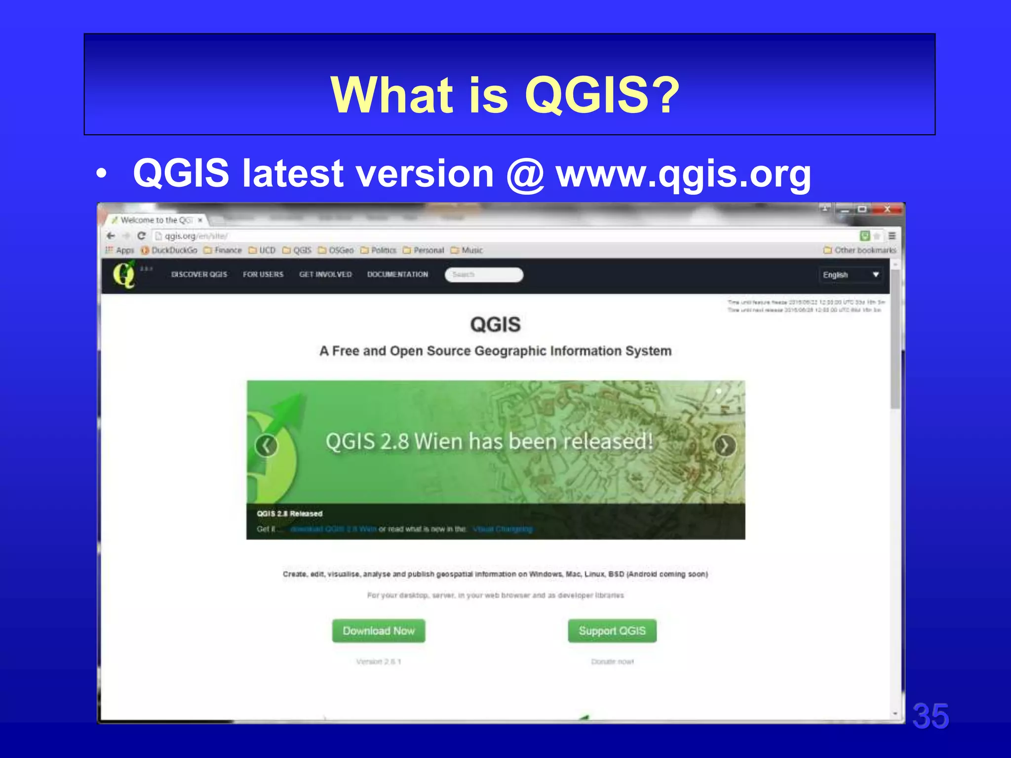
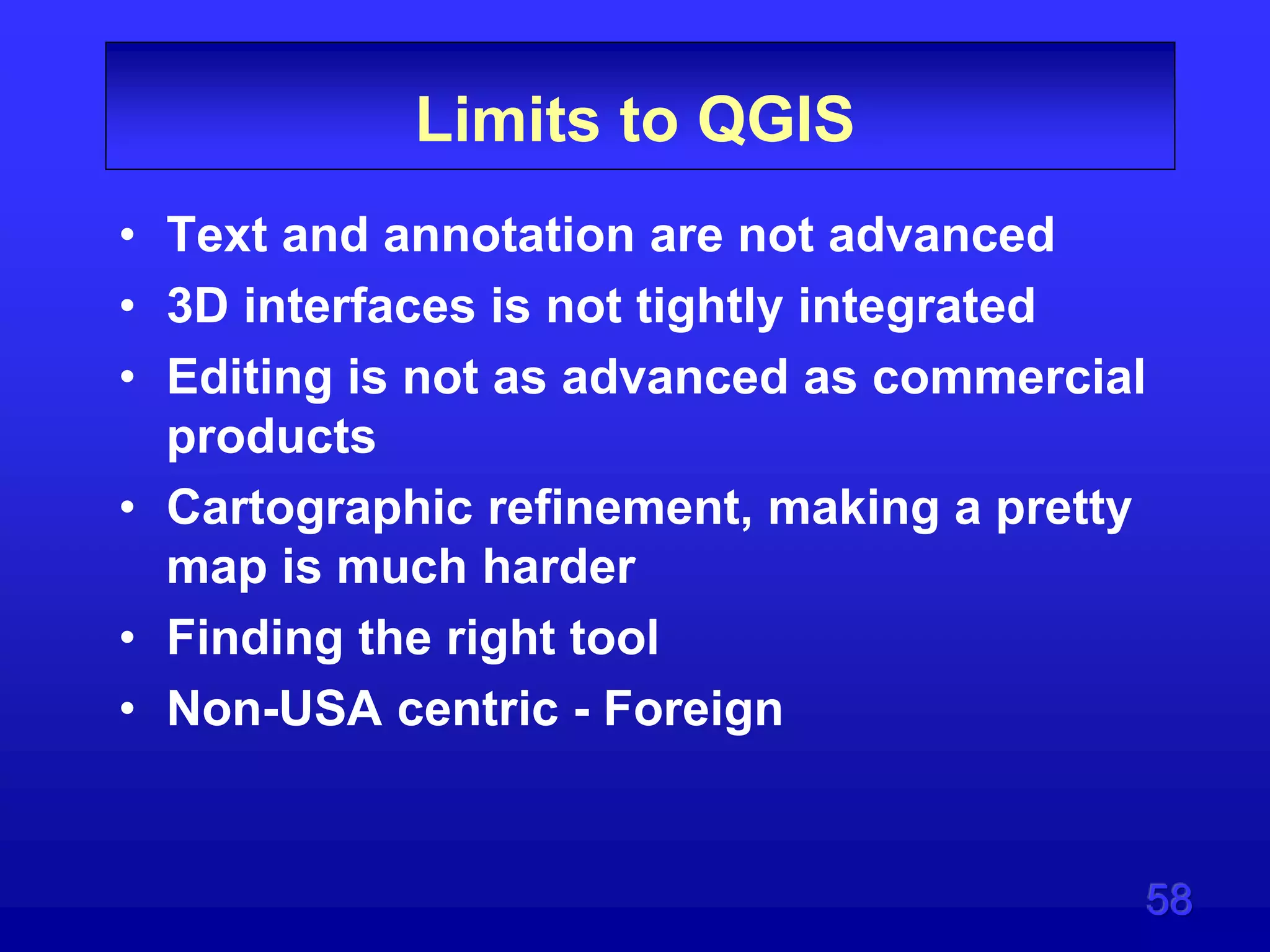
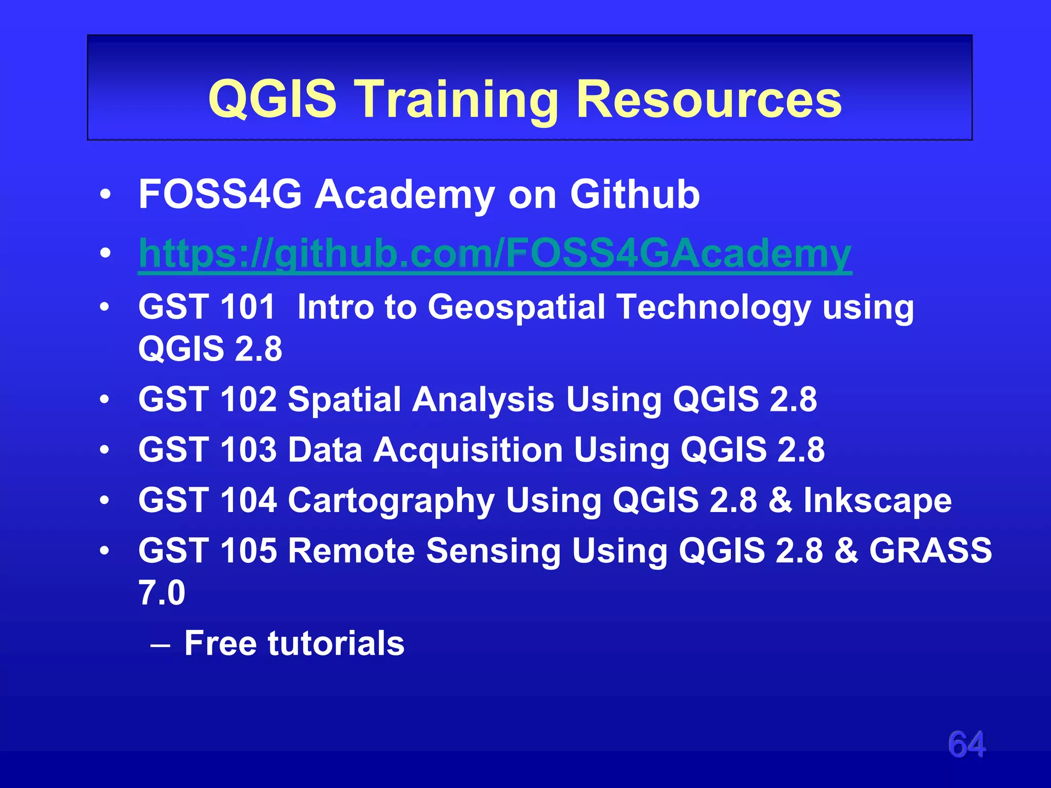
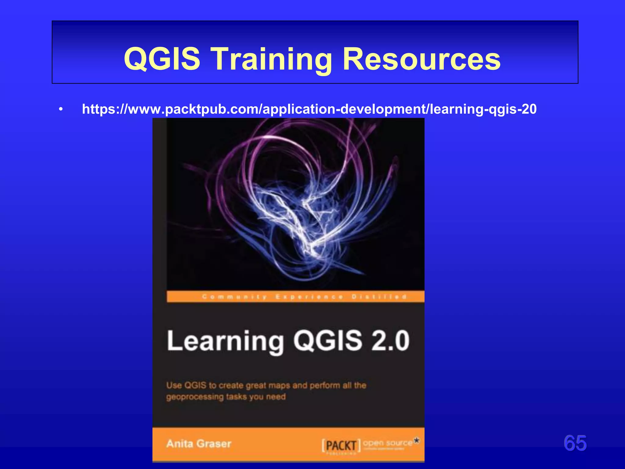
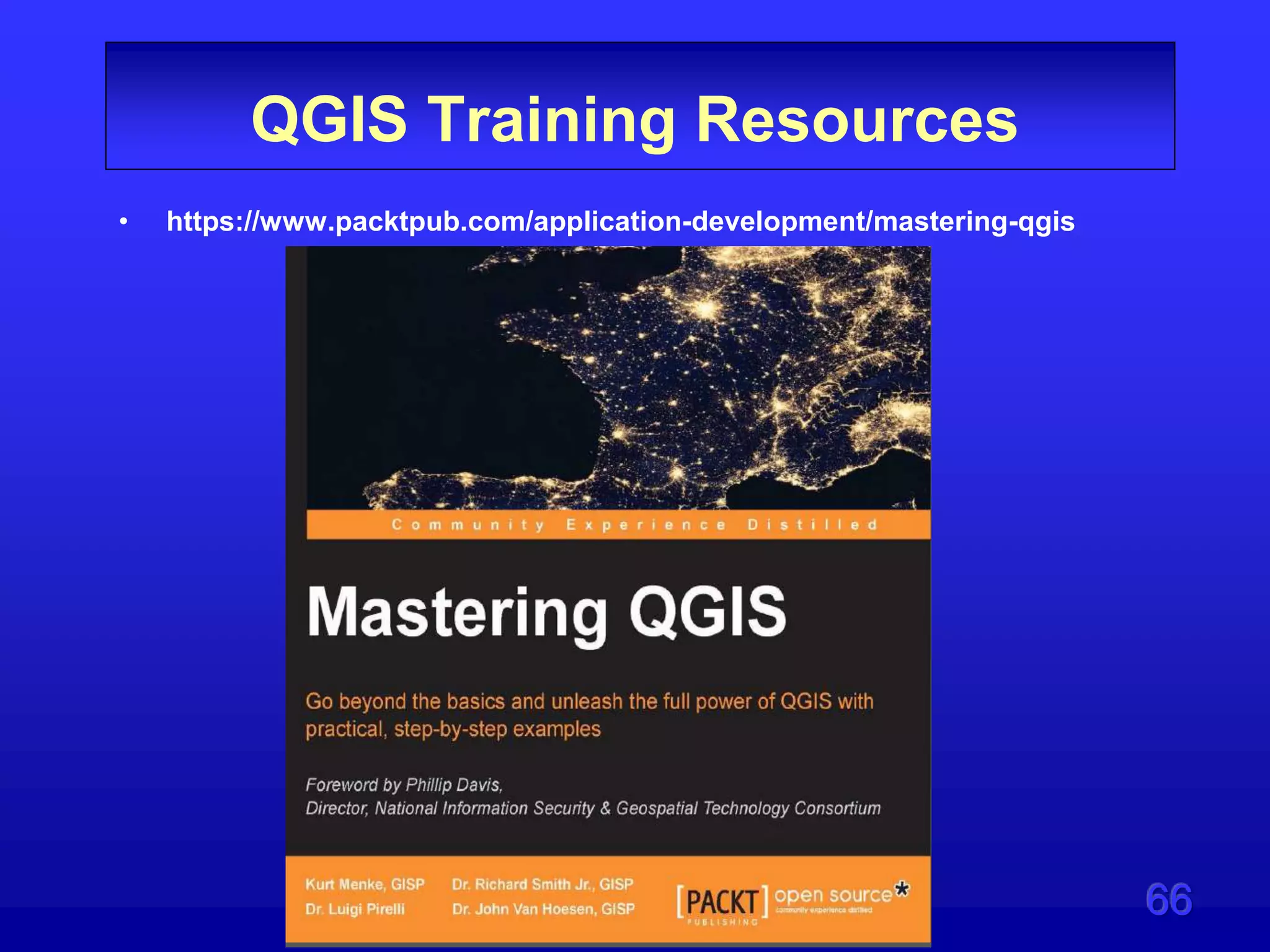
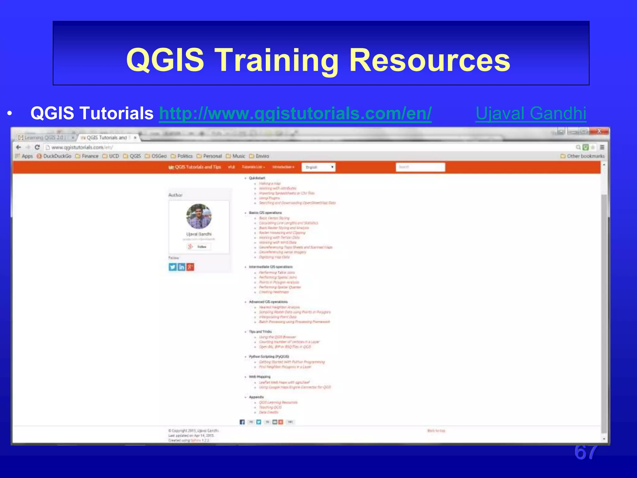
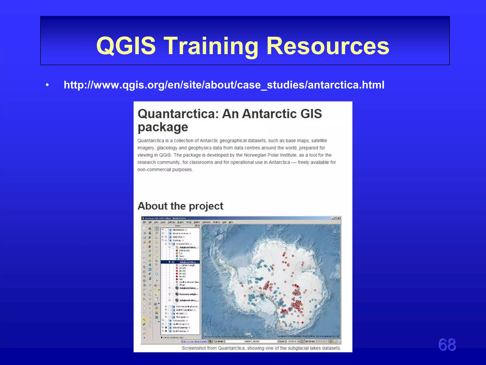
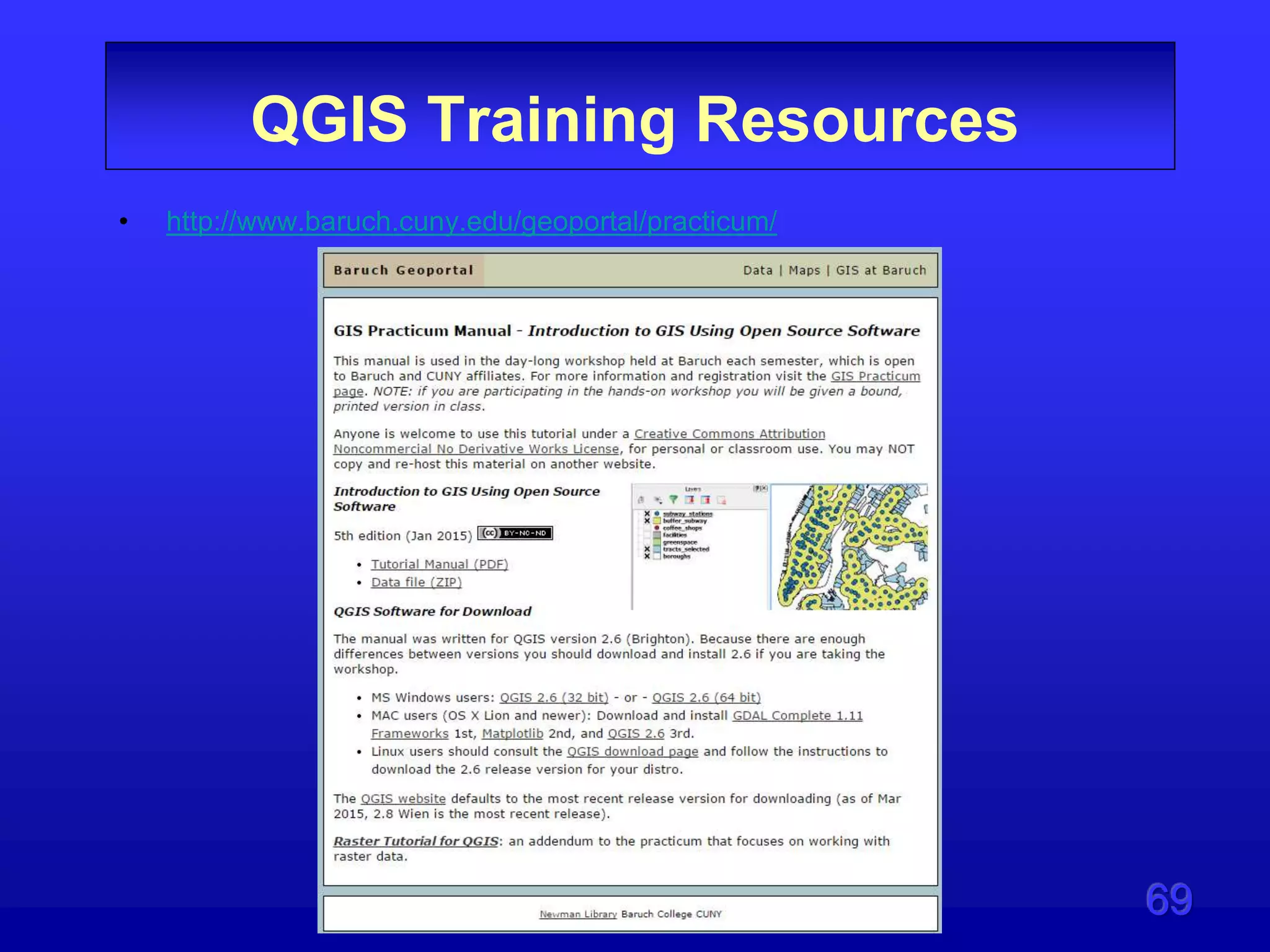
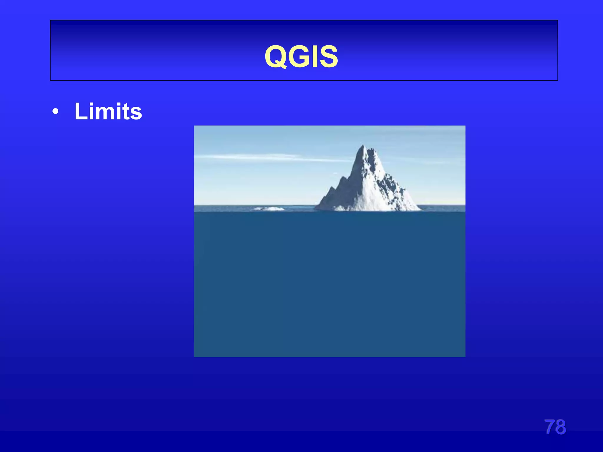
Dave Murray presented on QGIS, an open source desktop GIS. He discussed why users should consider QGIS, its benefits, and limitations compared to commercial GIS software. Training materials and resources for learning QGIS were provided, including online courses, tutorials, and documentation. While QGIS is limited in some areas like advanced editing and cartography, it was positioned as a valuable free tool worth learning to expand one's GIS skills and have an alternative to expensive commercial software.
Prepared as part of the IT for Business Intelligence course of MBA @VGSOM, IIT Kharagpur. The tutorial describes how to represent vector data on a map using the open source software QGIS.
Software, Application, or a System that is used to analyze, manipulate, and visualize geospatial data and databases is a GIS Software. These are robust packages that are used to handle a large number of data sets. The data sets and files are limited to spreadsheets and multimedia files like video drive files and imagery from various sources. Companies that are into GIS software are ESRI, HERE Maps, Google, Bing Maps and Autodesk, etc. Along with the big guns, there are also small open-source, free wares that are doing well in the industry. I will try to cover the most widely and known software in the latter part
The basic intention of this presentation is to help the beginners in GIS to understand what GIS is? It is a simple presentation about GIS, i mean an introductory one. Hope anyone finds it useful.
This is most benificial for the First year Engineering students.This presentation consists of videos and many applications of GIS. The processes and the other parts of GIS is also nicely explained.
Geographical Information System (GIS) Georeferencing and Digitization, Bihar ...Kamlesh Kumar
This work is an effort to share Geographical Information System: Georeferencing, digitization and map making steps through QGIS 2.0.1
Georeferencing
Digitization of Topographical sheet
Point
Line
Area
Bihar Map
District Headquarters
Railway of Bihar
District Boundaries
Thematic Maps (Literacy & Sex Ratio)
This is presentation is intended for middle school students. It provides a short introduction to GIS and how to use GIS in the real-world.
ArcGIS Explorer is the software used to demonstrate concepts.
45 minutes + 15 minutes demo
Download ArcGIS Explorer here...
http://www.esri.com/software/arcgis/explorer/
Prepared as part of the IT for Business Intelligence course of MBA @VGSOM, IIT Kharagpur. The tutorial describes how to create an interactive map using the open source software QGIS.
An introduction to GIS Data Types. Strengths and weaknesses of raster and vector data are discussed. Also covered is the importance of topology. Concludes with a discussion of the vector-based format of OpenStreetMap data.
A geographic information system (GIS) is a system designed to capture, store, manipulate, analyze, manage, and present all types of geographical data. The acronym GIS is sometimes used for geographical information science or geospatial information studies to refer to the academic discipline or career of working with geographic information systems and is a large domain within the broader academic discipline of Geoinformatics. In the simplest terms, GIS is the merging of cartography, statistical analysis, and computer science technology.
John Stevenson Volcanoes and FOSS4G EdinburghRoss McDonald
Dr John A Stevenson gives a presentation on how he uses open source tools to manage his analysis of volcanic eruptions at the 3rd QGIS user group meeting in Edinburgh on 5th May 2015.
QGIS is the most popular and used Geographical Free Open Source software in the whole world, growing fast and being a serious competitor to the near monopolistic proprietary alternative.
QGIS is born in 2002 thanks to Gary Sherman that was looking for a simple way to visualize geospatial data stored in a PostgreSQL/PostGIS database. In the following years more people got involved in the project and QGIS stared to become a complete GIS software with support for both vector and raster data. During these 18 years more and more people developed specialized geospatial algorithm to extract information from the data and to provide a simple interface for the end user. Different milestones have been reached, e.g. the support for thirdly part software, like GRASS, SAGA, Orfeo Toolbox and R; a Python interface has been added so that it is easy to develop new spatial algorithms as *plugins*. Thanks to these features QGIS quickly became popular and widespread. Public administration, private companies, Universities and GIS expert use QGIS and are investing resources back to the project.
The success of QGIS is due not only to work of developers and the resulting powerful and easy functions, but also to the strong community behind the software: document writers, translators participate not only *building* QGIS as a software but by growing QGIS as a **community**.
Managing Spatial Information and Services with Drupal: the GEO-MOOD approachTwinbit
Web-based Geographical Information System technology has been evolved from sharing maps and spatial information to a collaborative geospatial Content Management System (CMS). Spatial-CMS is one of the latest trends in the CMS world and Drupal is already playing an important role.
Break on Through (To The Java(Script) Side) - Smart Development - Esri UK Ann...Esri UK
In June 2016, Esri retired the ArcGIS API for Flex. This presentation aims to demonstrate the many benefits of migrating existing Flex applications to JavaScript, utilising the full suite of well-documented online resources and additional training options available from Esri. These have enabled Intertek to undertake this transition seamlessly and taking advantage of enhanced features provided by using JavaScript.
Efficient use of Standards-based Interfaces and Encodings in Geospatial Intel...Luis Bermudez
Presentation provided at GEOINT 2019. This training session Provides an overview of OGC standards that have been adapted by National System for Geospatial Intelligence (NSG) specifications. It will enable GEOINT professionals to more efficiently use standards-based interfaces and encoding formats to solve geospatial problems. By equipping GEOINT professionals with the skills to identify and apply OGC standards, this training course will improve the professionals’ ability to meet challenges within their day-to-day work.
GeoMapFish is an open source WebGIS platform developed in close collaboration with a large user group. The second version offers a modern UI based on AngularJS. OpenLayers 3 and an OGC architecture allow to use different cartographic engines. Highly integrated platform, large features scope, fine grained security, reporting engine, top performances and excellent quality of service are characteristics of the solution. In this talk we’ll present the technical aspects of the platform and its modular architecture based on OGC Services. We'll demonstrate the latest features contributed to the project and present in detail the project roadmap.
This presentation shows reco4j features and vision. In particular we add the new concept of context aware recommendation and how we integrate it into reco4j. See the project site for more details here: http://www.reco4j.org
GISCO Fall 2018: Colorado 811: Changes and Challenges – Brian CollisonGIS Colorado
On May 25, Governor Hickenlooper signed Senate Bill 18-167 into law. This bill included the creation of the Underground Damage Prevention Safety Commission, effective August 8, 2018. The ratification of this law has started transitioning tier two members of the Utility Notification Center of Colorado, or Colorado 811, into tier one members. Safety and accuracy are some of the most challenging issues damage prevention professionals face. While the law will improve communication between all parties involved once it’s implemented, damage prevention work will drastically change over the next two years of transition. Join Brian Collison as he gives an overview of the changes, how tier two members can ease their transition to tier one and how this will affect anyone who works within right of ways in the state of Colorado.
GISCO Fall 2018: Senate Bill 18-167 and GIS – Dave MurrayGIS Colorado
The recently passed Senate Bill 18-167 has many new provisions that could impact the GIS community and location of in-ground infrastructure. Find out about how this bill might impact your organization.
GISCO Fall 2018: Bike Network Equity: A GIS and Qualitative Analysis of Ameri...GIS Colorado
The equitable distribution of bike paths ensuring safe cycling are inconsistently planned and evaluated. For residents to fully utilize bikes, it is essential that bike networks equitably serve all urban populations. In the absence of impartial evaluation, the construction of biking infrastructure may continue to perpetuate cycles of disadvantage. By measuring the spatial equity of six urban biking networks using GIS (San Francisco, Chicago, Minneapolis, Madison, Boulder and College Station) and interviewing transportation planners, we demonstrate that equity can play a role in planning. We provide spatial and qualitative analyses revealing varying relationships between urban transport planning and the relative equity of bike networks in major cities.
Kubernetes & AI - Beauty and the Beast !?! @KCD Istanbul 2024Tobias Schneck
As AI technology is pushing into IT I was wondering myself, as an “infrastructure container kubernetes guy”, how get this fancy AI technology get managed from an infrastructure operational view? Is it possible to apply our lovely cloud native principals as well? What benefit’s both technologies could bring to each other?
Let me take this questions and provide you a short journey through existing deployment models and use cases for AI software. On practical examples, we discuss what cloud/on-premise strategy we may need for applying it to our own infrastructure to get it to work from an enterprise perspective. I want to give an overview about infrastructure requirements and technologies, what could be beneficial or limiting your AI use cases in an enterprise environment. An interactive Demo will give you some insides, what approaches I got already working for real.
Securing your Kubernetes cluster_ a step-by-step guide to success !KatiaHIMEUR1
Today, after several years of existence, an extremely active community and an ultra-dynamic ecosystem, Kubernetes has established itself as the de facto standard in container orchestration. Thanks to a wide range of managed services, it has never been so easy to set up a ready-to-use Kubernetes cluster.
However, this ease of use means that the subject of security in Kubernetes is often left for later, or even neglected. This exposes companies to significant risks.
In this talk, I'll show you step-by-step how to secure your Kubernetes cluster for greater peace of mind and reliability.
State of ICS and IoT Cyber Threat Landscape Report 2024 previewPrayukth K V
The IoT and OT threat landscape report has been prepared by the Threat Research Team at Sectrio using data from Sectrio, cyber threat intelligence farming facilities spread across over 85 cities around the world. In addition, Sectrio also runs AI-based advanced threat and payload engagement facilities that serve as sinks to attract and engage sophisticated threat actors, and newer malware including new variants and latent threats that are at an earlier stage of development.
The latest edition of the OT/ICS and IoT security Threat Landscape Report 2024 also covers:
State of global ICS asset and network exposure
Sectoral targets and attacks as well as the cost of ransom
Global APT activity, AI usage, actor and tactic profiles, and implications
Rise in volumes of AI-powered cyberattacks
Major cyber events in 2024
Malware and malicious payload trends
Cyberattack types and targets
Vulnerability exploit attempts on CVEs
Attacks on counties – USA
Expansion of bot farms – how, where, and why
In-depth analysis of the cyber threat landscape across North America, South America, Europe, APAC, and the Middle East
Why are attacks on smart factories rising?
Cyber risk predictions
Axis of attacks – Europe
Systemic attacks in the Middle East
Download the full report from here:
https://sectrio.com/resources/ot-threat-landscape-reports/sectrio-releases-ot-ics-and-iot-security-threat-landscape-report-2024/
UiPath Test Automation using UiPath Test Suite series, part 3DianaGray10
Welcome to UiPath Test Automation using UiPath Test Suite series part 3. In this session, we will cover desktop automation along with UI automation.
Topics covered:
UI automation Introduction,
UI automation Sample
Desktop automation flow
Pradeep Chinnala, Senior Consultant Automation Developer @WonderBotz and UiPath MVP
Deepak Rai, Automation Practice Lead, Boundaryless Group and UiPath MVP
Essentials of Automations: Optimizing FME Workflows with ParametersSafe Software
Are you looking to streamline your workflows and boost your projects’ efficiency? Do you find yourself searching for ways to add flexibility and control over your FME workflows? If so, you’re in the right place.
Join us for an insightful dive into the world of FME parameters, a critical element in optimizing workflow efficiency. This webinar marks the beginning of our three-part “Essentials of Automation” series. This first webinar is designed to equip you with the knowledge and skills to utilize parameters effectively: enhancing the flexibility, maintainability, and user control of your FME projects.
Here’s what you’ll gain:
- Essentials of FME Parameters: Understand the pivotal role of parameters, including Reader/Writer, Transformer, User, and FME Flow categories. Discover how they are the key to unlocking automation and optimization within your workflows.
- Practical Applications in FME Form: Delve into key user parameter types including choice, connections, and file URLs. Allow users to control how a workflow runs, making your workflows more reusable. Learn to import values and deliver the best user experience for your workflows while enhancing accuracy.
- Optimization Strategies in FME Flow: Explore the creation and strategic deployment of parameters in FME Flow, including the use of deployment and geometry parameters, to maximize workflow efficiency.
- Pro Tips for Success: Gain insights on parameterizing connections and leveraging new features like Conditional Visibility for clarity and simplicity.
We’ll wrap up with a glimpse into future webinars, followed by a Q&A session to address your specific questions surrounding this topic.
Don’t miss this opportunity to elevate your FME expertise and drive your projects to new heights of efficiency.
Smart TV Buyer Insights Survey 2024 by 91mobiles.pdf91mobiles
91mobiles recently conducted a Smart TV Buyer Insights Survey in which we asked over 3,000 respondents about the TV they own, aspects they look at on a new TV, and their TV buying preferences.
JMeter webinar - integration with InfluxDB and GrafanaRTTS
Watch this recorded webinar about real-time monitoring of application performance. See how to integrate Apache JMeter, the open-source leader in performance testing, with InfluxDB, the open-source time-series database, and Grafana, the open-source analytics and visualization application.
In this webinar, we will review the benefits of leveraging InfluxDB and Grafana when executing load tests and demonstrate how these tools are used to visualize performance metrics.
Length: 30 minutes
Session Overview
-------------------------------------------
During this webinar, we will cover the following topics while demonstrating the integrations of JMeter, InfluxDB and Grafana:
- What out-of-the-box solutions are available for real-time monitoring JMeter tests?
- What are the benefits of integrating InfluxDB and Grafana into the load testing stack?
- Which features are provided by Grafana?
- Demonstration of InfluxDB and Grafana using a practice web application
To view the webinar recording, go to:
https://www.rttsweb.com/jmeter-integration-webinar
LF Energy Webinar: Electrical Grid Modelling and Simulation Through PowSyBl -...DanBrown980551
Do you want to learn how to model and simulate an electrical network from scratch in under an hour?
Then welcome to this PowSyBl workshop, hosted by Rte, the French Transmission System Operator (TSO)!
During the webinar, you will discover the PowSyBl ecosystem as well as handle and study an electrical network through an interactive Python notebook.
PowSyBl is an open source project hosted by LF Energy, which offers a comprehensive set of features for electrical grid modelling and simulation. Among other advanced features, PowSyBl provides:
- A fully editable and extendable library for grid component modelling;
- Visualization tools to display your network;
- Grid simulation tools, such as power flows, security analyses (with or without remedial actions) and sensitivity analyses;
The framework is mostly written in Java, with a Python binding so that Python developers can access PowSyBl functionalities as well.
What you will learn during the webinar:
- For beginners: discover PowSyBl's functionalities through a quick general presentation and the notebook, without needing any expert coding skills;
- For advanced developers: master the skills to efficiently apply PowSyBl functionalities to your real-world scenarios.
Software Delivery At the Speed of AI: Inflectra Invests In AI-Powered QualityInflectra
In this insightful webinar, Inflectra explores how artificial intelligence (AI) is transforming software development and testing. Discover how AI-powered tools are revolutionizing every stage of the software development lifecycle (SDLC), from design and prototyping to testing, deployment, and monitoring.
Learn about:
• The Future of Testing: How AI is shifting testing towards verification, analysis, and higher-level skills, while reducing repetitive tasks.
• Test Automation: How AI-powered test case generation, optimization, and self-healing tests are making testing more efficient and effective.
• Visual Testing: Explore the emerging capabilities of AI in visual testing and how it's set to revolutionize UI verification.
• Inflectra's AI Solutions: See demonstrations of Inflectra's cutting-edge AI tools like the ChatGPT plugin and Azure Open AI platform, designed to streamline your testing process.
Whether you're a developer, tester, or QA professional, this webinar will give you valuable insights into how AI is shaping the future of software delivery.
Builder.ai Founder Sachin Dev Duggal's Strategic Approach to Create an Innova...Ramesh Iyer
In today's fast-changing business world, Companies that adapt and embrace new ideas often need help to keep up with the competition. However, fostering a culture of innovation takes much work. It takes vision, leadership and willingness to take risks in the right proportion. Sachin Dev Duggal, co-founder of Builder.ai, has perfected the art of this balance, creating a company culture where creativity and growth are nurtured at each stage.
Slack (or Teams) Automation for Bonterra Impact Management (fka Social Soluti...Jeffrey Haguewood
Sidekick Solutions uses Bonterra Impact Management (fka Social Solutions Apricot) and automation solutions to integrate data for business workflows.
We believe integration and automation are essential to user experience and the promise of efficient work through technology. Automation is the critical ingredient to realizing that full vision. We develop integration products and services for Bonterra Case Management software to support the deployment of automations for a variety of use cases.
This video focuses on the notifications, alerts, and approval requests using Slack for Bonterra Impact Management. The solutions covered in this webinar can also be deployed for Microsoft Teams.
Interested in deploying notification automations for Bonterra Impact Management? Contact us at sales@sidekicksolutionsllc.com to discuss next steps.
7. 7
QGIS?
• Linkedin Discussion Kevin Hone
– we typically use the tool to learn the
concepts instead of the other way
around
– I may know how to create a convex
hull polygon with one tool, but if I had
to do it with a different tool, I wouldn't
know where to start because I didn't
learn to do it with this other tool.
https://www.linkedin.com/groups/what-is-best-GIS-software-
49657.S.5994554822773272579?view=&item=5994554822773272579&type=member&gid
=49657&trk=eml-b2_anet_digest-hero-1-hero-disc-disc-
0&midToken=AQFqIVLI2OXPRQ&fromEmail=fromEmail&ut=25qGCidJBNzmI1
9. 9
Disclaimer
• We are currently not using QGIS at the
City of Westminster
Why?
• Many reasons but the business case does
not demand it at this time
• May change in the future?
• Data lock-up is one reason
• Training is another big issue –I’m working
on it
17. 17
My Story
• Began using workstation ArcInfo on DG
UNIX in 1993
• Have only used commercial products
during my career
• Instructed GIS courses in commercial
technology for 12 years at the University
of Colorado at Denver
• Currently instructing a FOSS4G course at
UCD
30. 30
What is QGIS?
http://www.qgisforum.org/qgis-tutorial/introduction
– QGIS (formerly known as Quantum GIS) is a
free, opensource desktop GIS program
– The project started in 2002. It has more than
35 developers and an estimated 300,000+
users around the world today
Gary Sherman
QGIS Creator
31. 31
What s QGIS?
• Community Driven Project
– The work of the QGIS project is managed by a
Project Steering Committee (PSC) made up of
an international team of developers and GIS
users who each have a specific area of
responsibility.
– The steering committee is divided into four
basic roles: Development, Release
Management, Community Resources and
Finance & Marketing.
33. 33
QGIS
QGIS is Free software and you are under no obligation
to pay anything to use it - in fact we want to
encourage people far and wide to use it regardless of
what your financial or social status is - we believe
empowering people with spatial decision making tools
will result in a better society for all of humanity.
http://qgis.org/en/site/forusers/visualchangelog28/index.html
34. 34
What is QGIS?
• QGIS runs on:
– Windows, Mac
– Android (smartphone and pad)
– Linux and Unix
– QGIS reads and writes e.g. ESRI, AutoCAD
MapInfo and MicroStation files
– Reads ArcGIS GDBs … but not the indexes
36. 36
What is QGIS?
• QGIS License
– QGIS is open source software available
under the terms of the GNU General
Public License
– This guarantees end users (individuals,
organizations, companies) the
freedoms to use, study, share (copy),
and modify the software.
– The GPL is a “copyleft” license, which
means that derived works can only be
distributed under the same license
terms.
44. 44
GIS Requirments?
• Display and symbolize geographic features
• Save symbology for other maps
• Query databases
• Join Tables
• Create custom map products in electronic
formats
• Create Web map services
• Conduct spatial analysis in vector or raster
format
• Hyperlinking
45. 45
GIS Requirments?
• Edit geospatial data using topology
• Versioned database editing (POSTGIS)
• Display 3D data
• Use standard scripting languages (Python)
to automate processes
• Visual scripting tools
• Consume web mapping services
• Use Plug-ins to extend the range of
capabilities
• Mobile application
56. 56
OGC Data Sources
• Important OGC specifications supported by QGIS
are:
– WMS — Web Map Service (WMS/WMTS Client)
– WMTS — Web Map Tile Service (WMS/WMTS
Client)
– WFS — Web Feature Service (WFS and WFS-T
Client)
– WFS-T — Web Feature Service - Transactional
(WFS and WFS-T Client)
– WCS — Web Coverage Service (WCS Client)
– SFS — Simple Features for SQL (PostGIS Layers)
– GML — Geography Markup Language
58. 58
Limits to QGIS
• Text and annotation are not advanced
• 3D interfaces is not tightly integrated
• Editing is not as advanced as commercial
products
• Cartographic refinement, making a pretty
map is much harder
• Finding the right tool
• Non-USA centric - Foreign
61. 61
QGIS Training Resources
• You tube Search - About 20,900 result
• QGIS 2.6 intro -
https://www.youtube.com/watch?v=5QIYZmysDNM
62. 62
QGIS Training Resources
• FOSS4G Academy
• https://foss4geo.wordpress.com/
• The five courses were derived from a two year long effort, that
engaged 50 geospatial educators from US colleges and
universities nationwide who reviewed the GTCM (KSAs). These
KSAs were all ranked upon importance and sequenced into a
coherent curriculum that includes these five GIS courses:
• GST 101 Introduction to Geospatial Technology Using QGIS 2.8
• GST 102 Spatial Analysis Using QGIS 2.8
• GST 103 Data Acquisition Using QGIS 2.8
• GST 104 Cartography Using QGIS 2.8 & Inkscape
• GST 105 Remote Sensing Using QGIS 2.8 & GRASS 7.0
– $49.00 per class
63. 63
QGIS Training Resources
• FOSS4G Academy
• https://foss4geo.wordpress.com/
• The five courses were derived from a two year long effort, that
engaged 50 geospatial educators from US colleges and
universities nationwide who reviewed the GTCM (KSAs). These
KSAs were all ranked upon importance and sequenced into a
coherent curriculum that includes these five GIS courses:
• GST 101 Introduction to Geospatial Technology Using QGIS 2.8
• GST 102 Spatial Analysis Using QGIS 2.8
• GST 103 Data Acquisition Using QGIS 2.8
• GST 104 Cartography Using QGIS 2.8 & Inkscape
• GST 105 Remote Sensing Using QGIS 2.8 & GRASS 7.0
– $49.00 per class
64. 64
QGIS Training Resources
• FOSS4G Academy on Github
• https://github.com/FOSS4GAcademy
• GST 101 Intro to Geospatial Technology using
QGIS 2.8
• GST 102 Spatial Analysis Using QGIS 2.8
• GST 103 Data Acquisition Using QGIS 2.8
• GST 104 Cartography Using QGIS 2.8 & Inkscape
• GST 105 Remote Sensing Using QGIS 2.8 & GRASS
7.0
– Free tutorials
80. 80
QGIS Abstract
• QGIS is a popular Open Source desktop GIS program that is
rapidly gaining popularity across the globe.
• Many GIS professionals are using this program but many others
have shied away thinking it is too difficult or doesn’t have the
functions they need.
• This presentation will run through a number of arguments why
you should consider learning GIS and applying it in your work or
outside activities.
• The program will be evaluated for the strengths and weaknesses
to the ArcGIS suite of software.
• Attendees will get a good idea if it makes sense for them to try it
out as well as spend time learning a “New” GIS program.