Downloaded 184 times
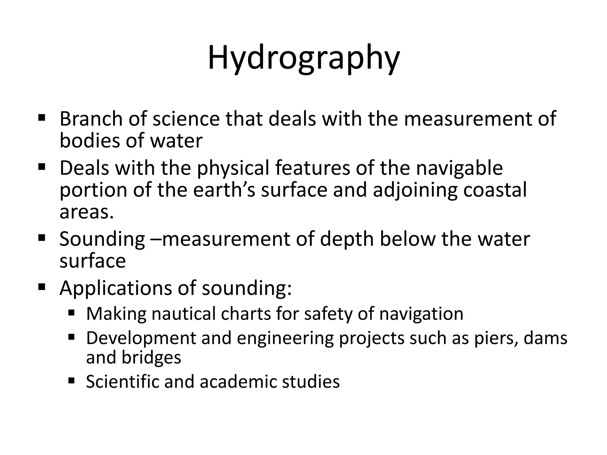
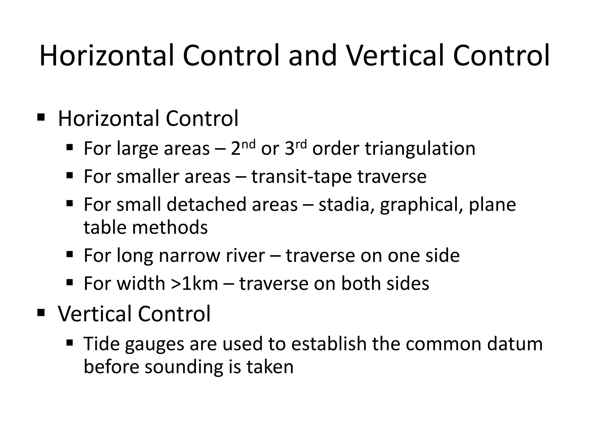
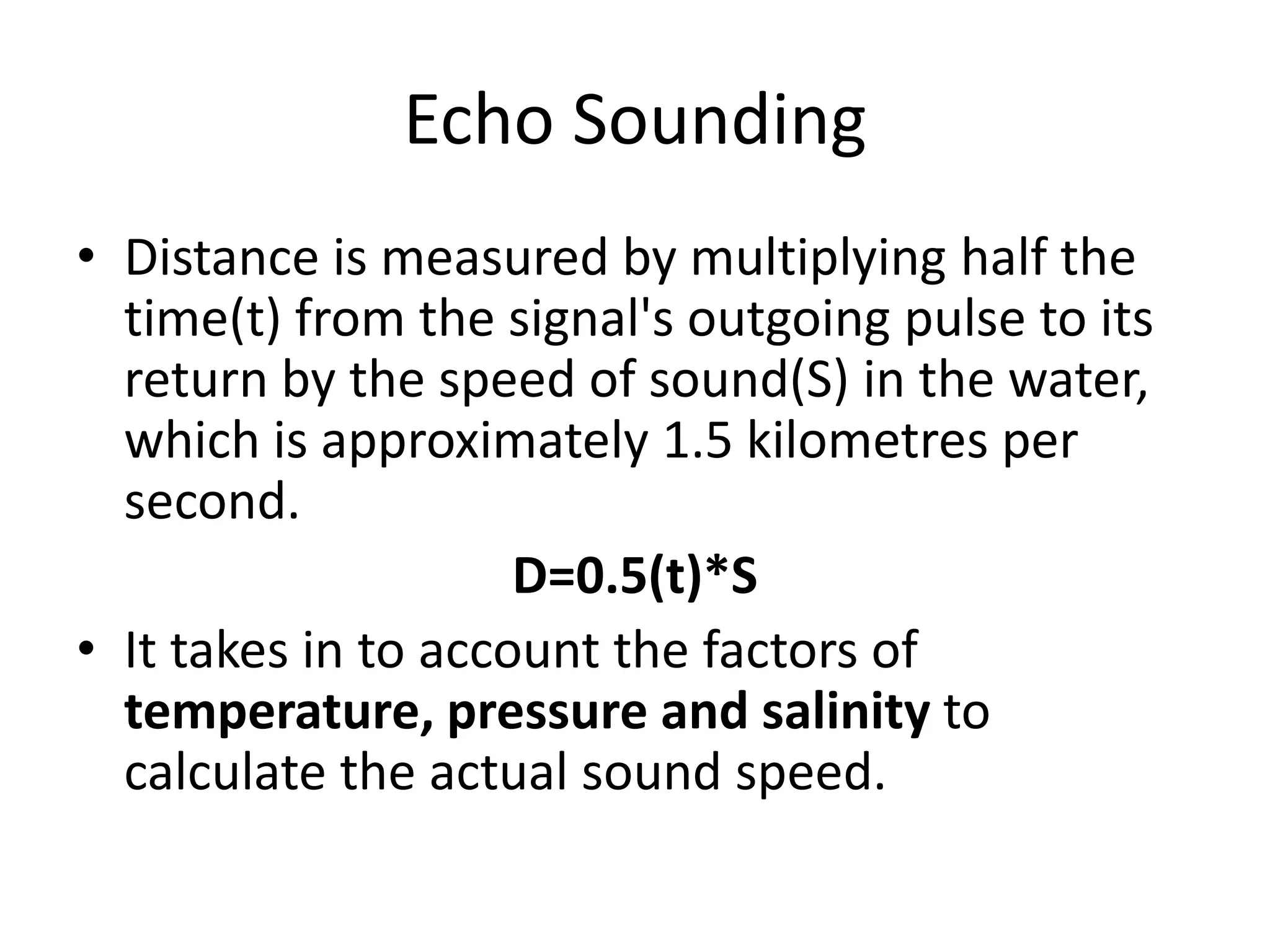
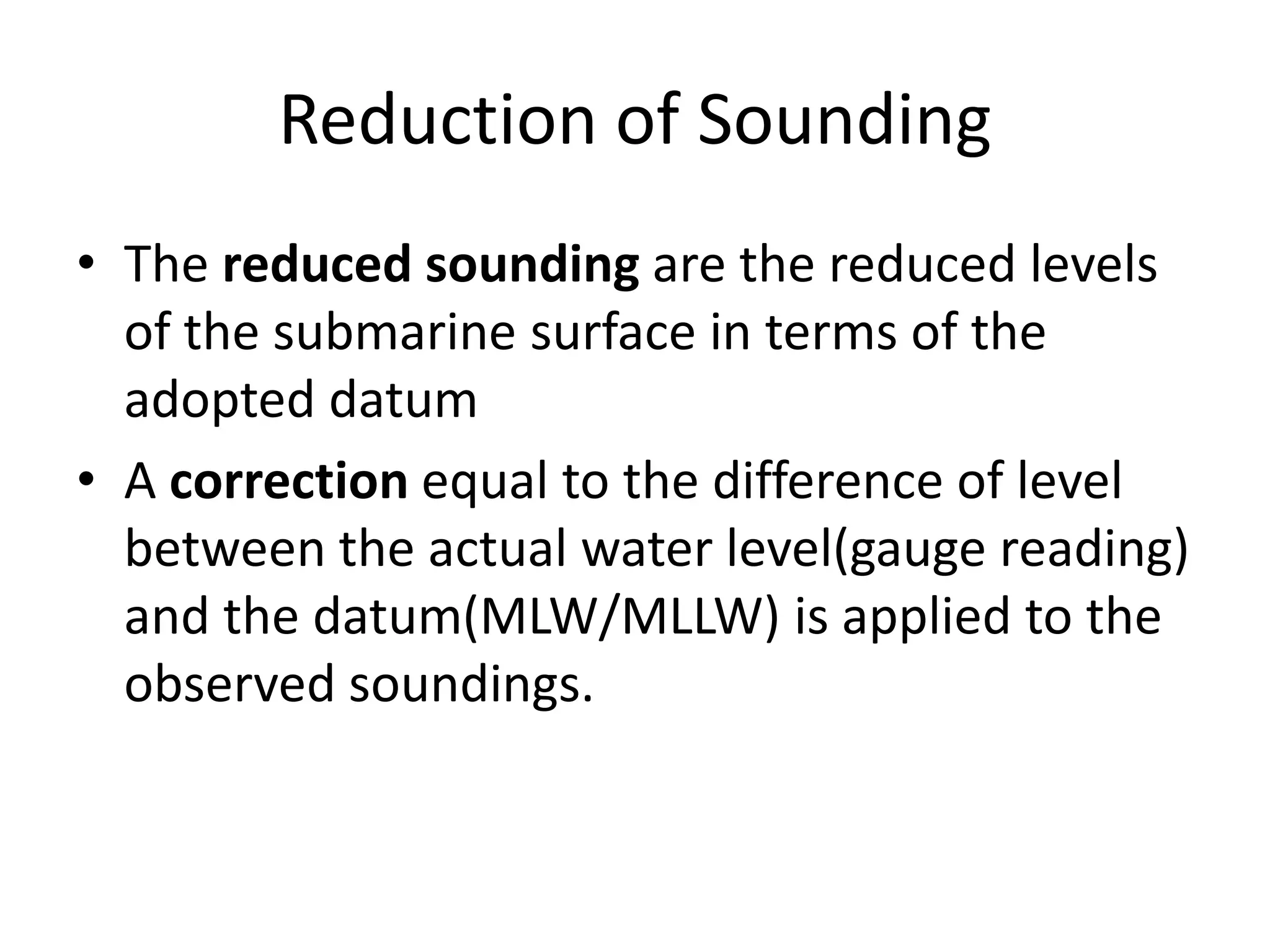
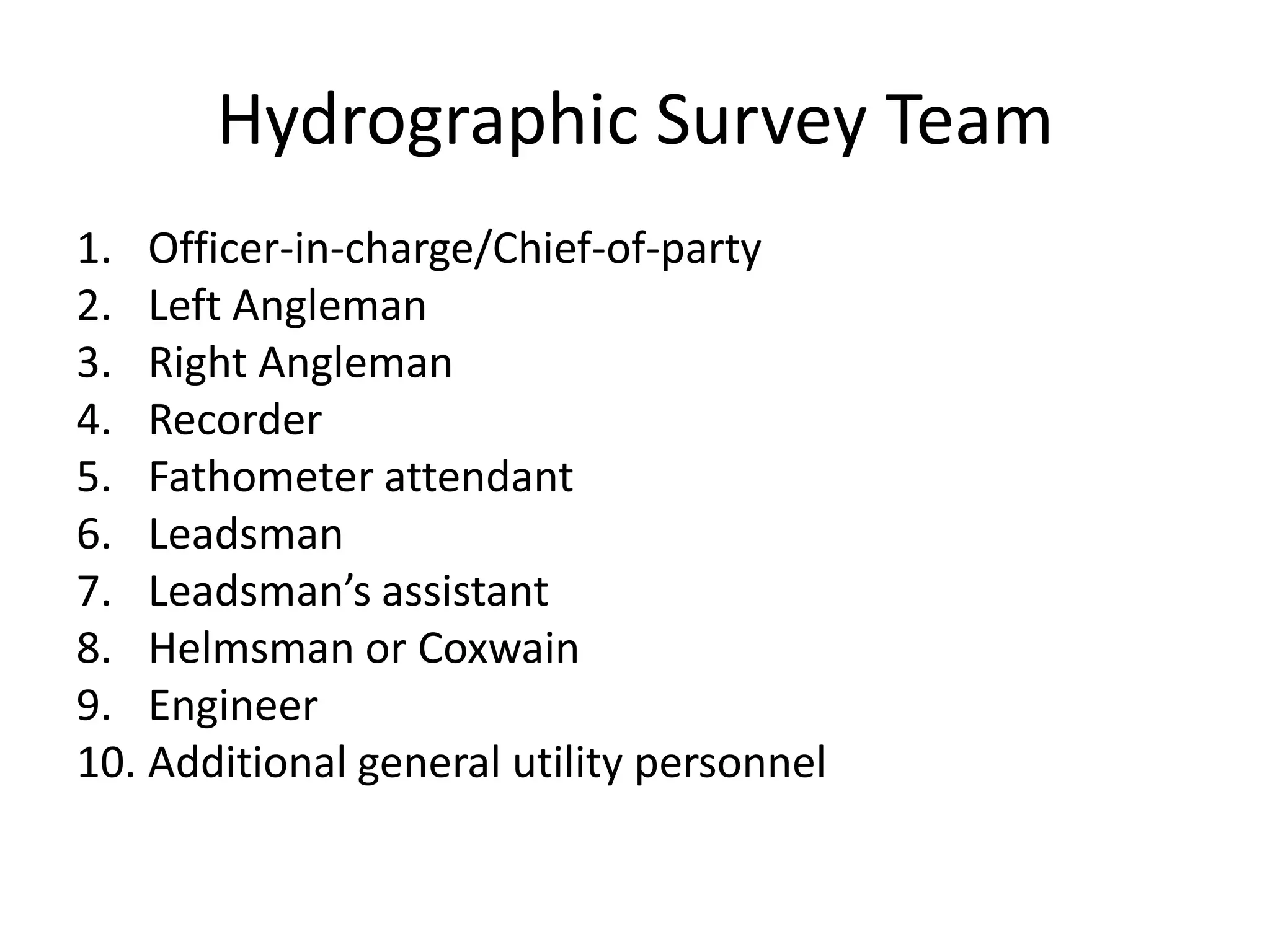
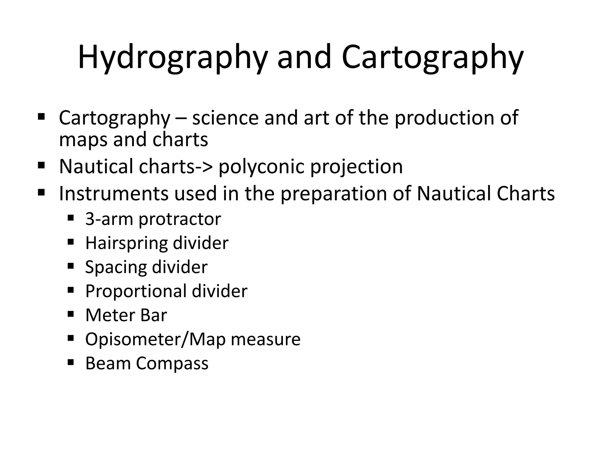
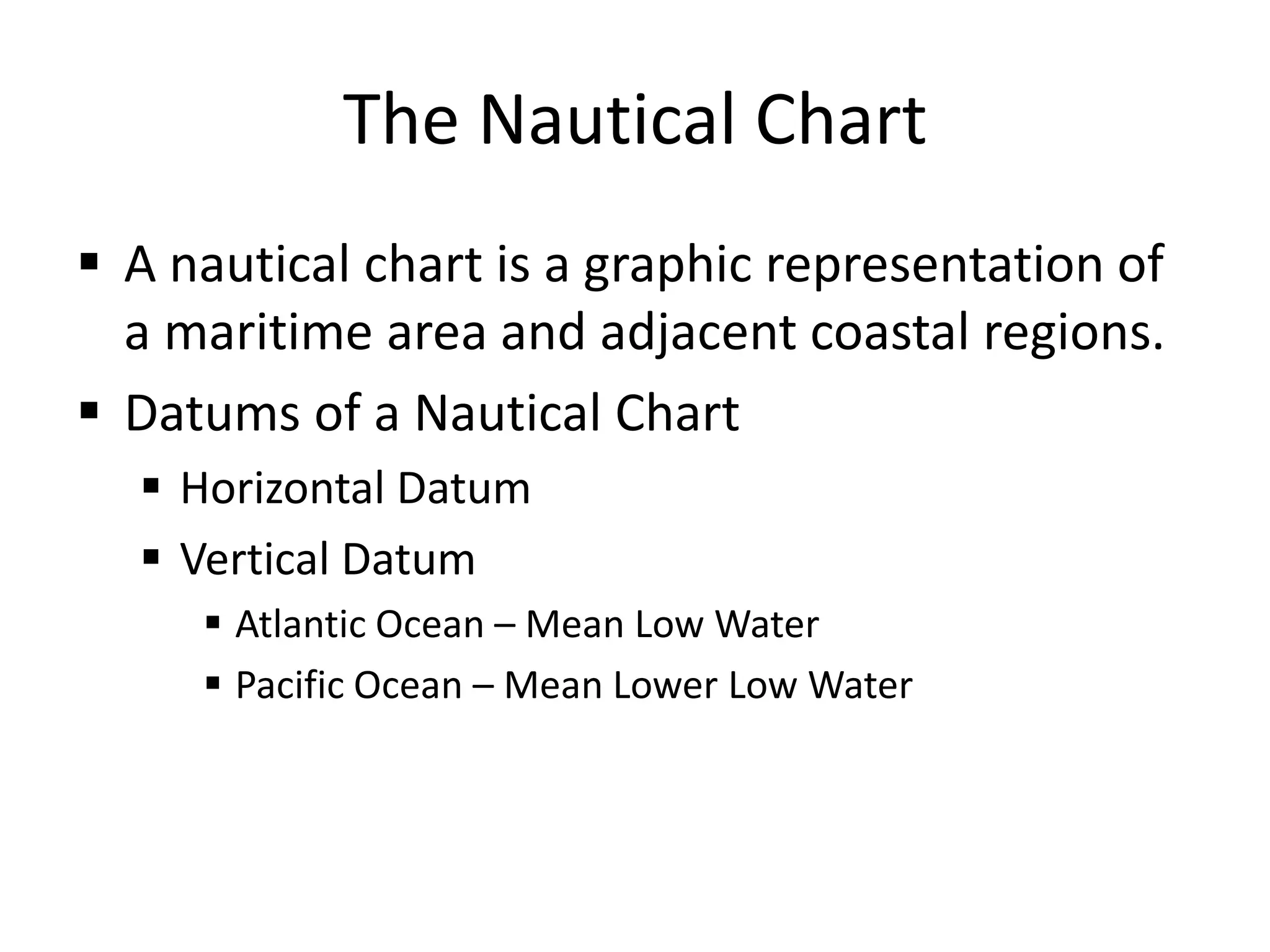
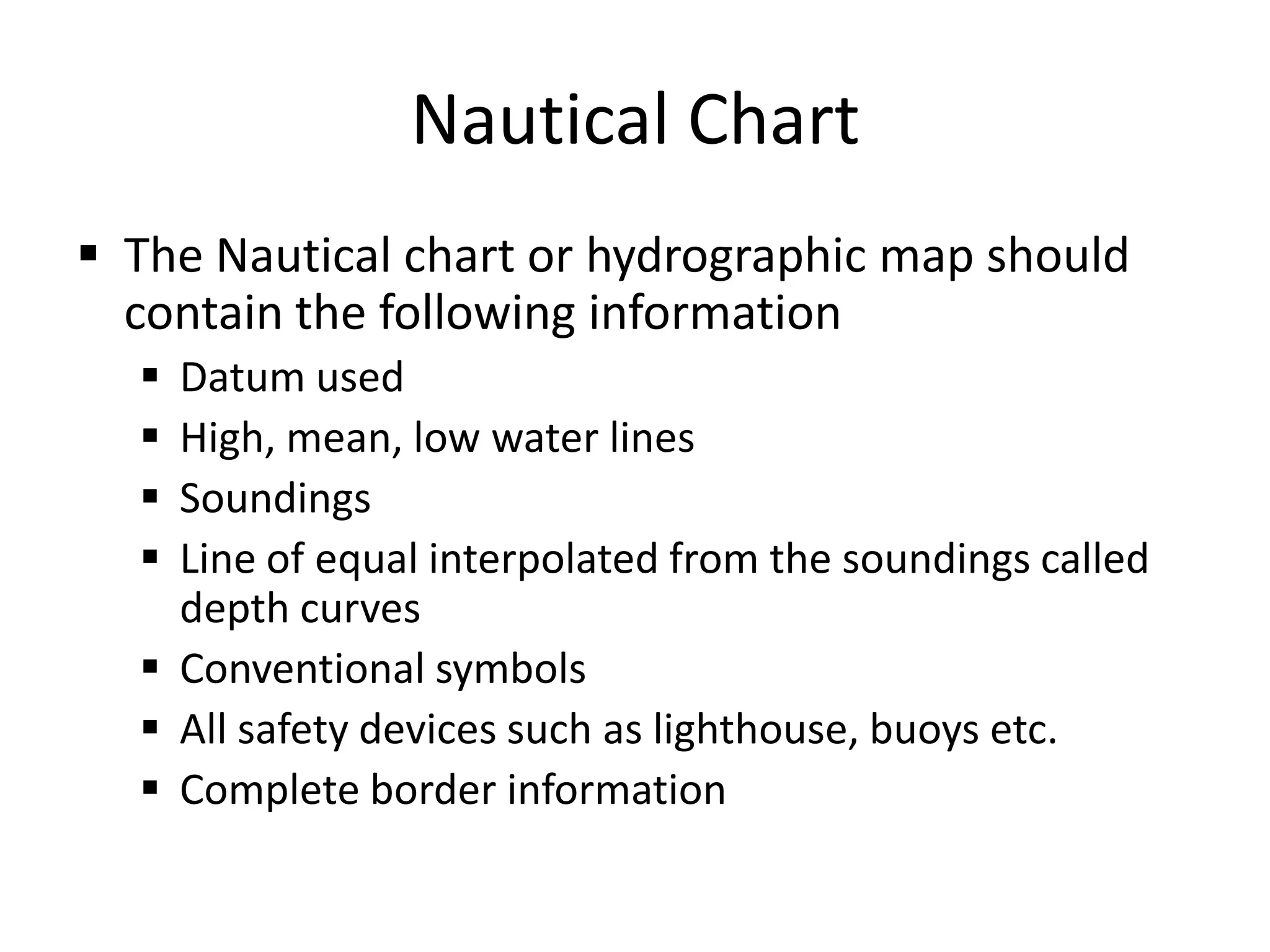
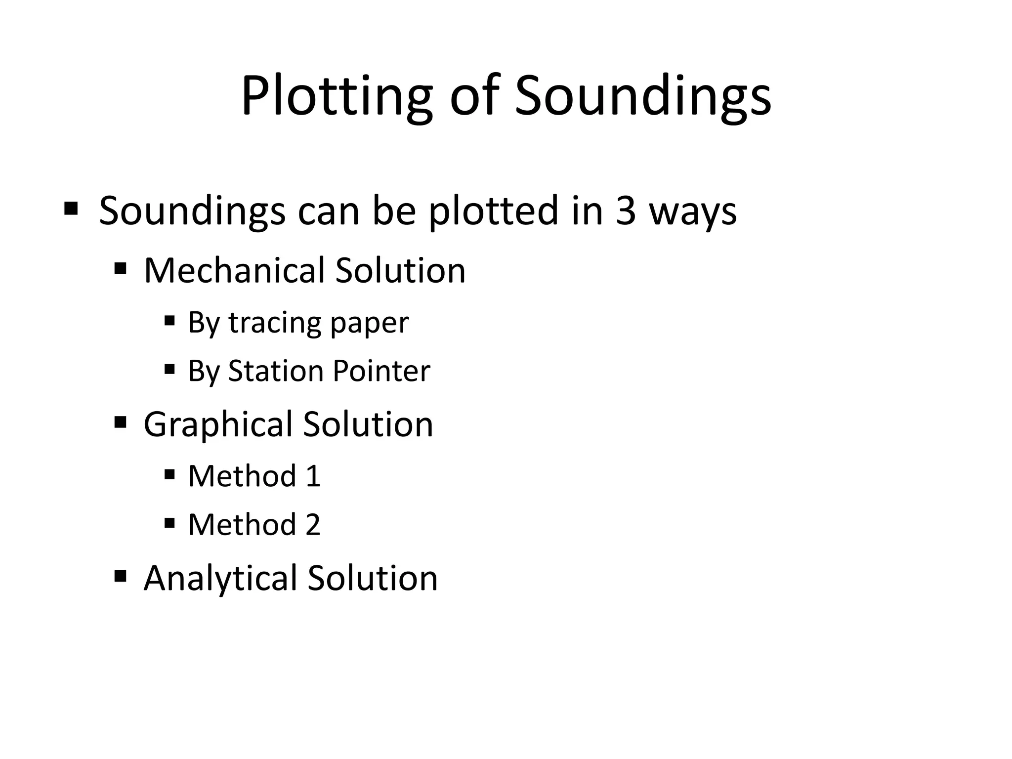
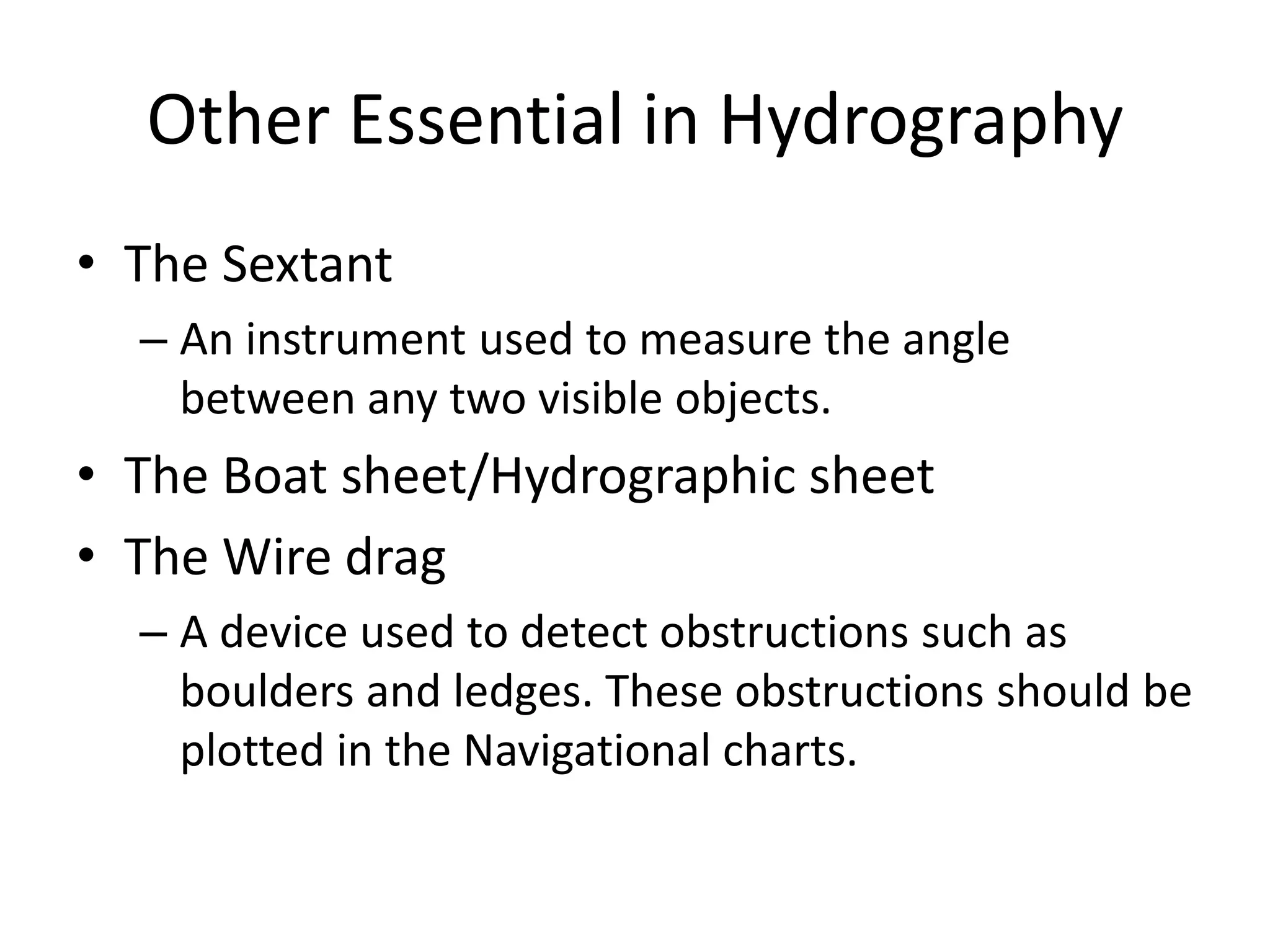
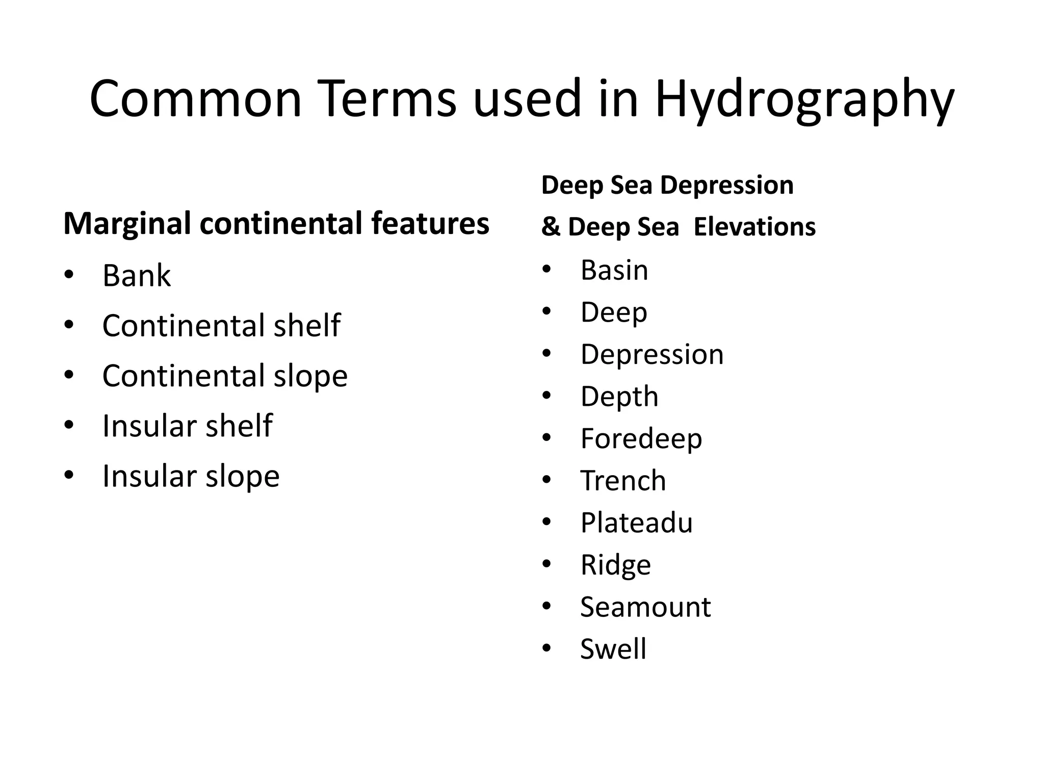
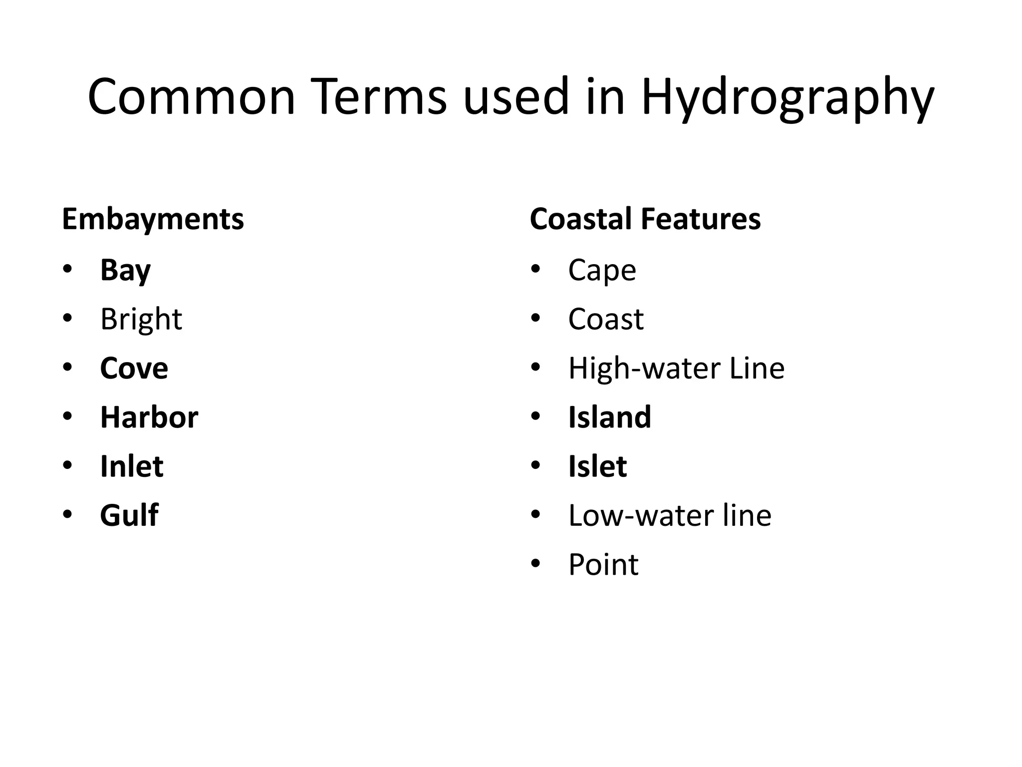
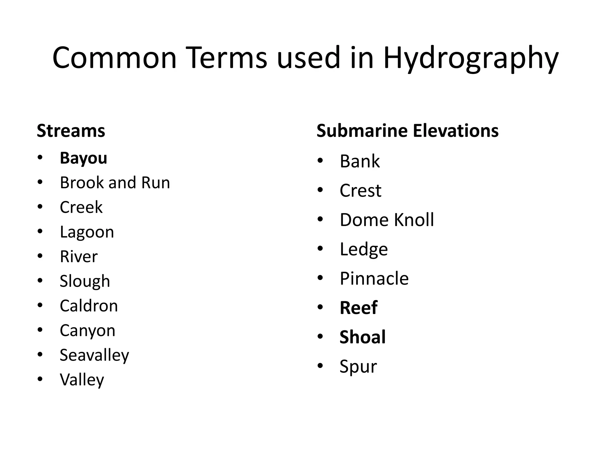

This document summarizes key aspects of hydrographic surveying. It discusses measuring water depths through sounding, establishing horizontal and vertical controls, surveying shorelines, instruments used for sounding like sounding poles and echo sounders, reduction of soundings to a datum, teams involved in surveys, cartography methods to prepare nautical charts, key elements of nautical charts including datums and symbols, and common terms used in hydrography.