Downloaded 31 times
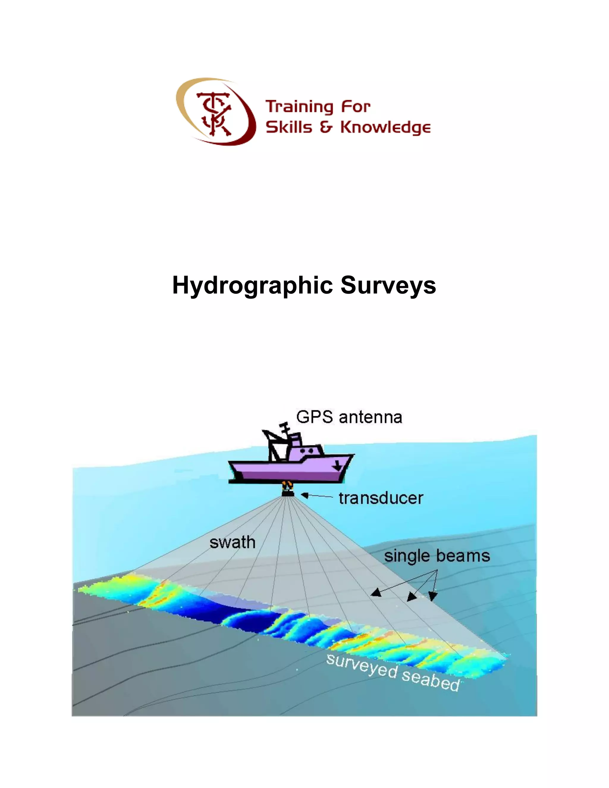

Hydrographic surveys measure and describe the physical features of navigable waters and coastal areas, supporting activities like nautical charting and coastal engineering. The surveys use advanced technologies like lidar for data collection, which requires post-processing to correct errors related to various environmental factors. The final outputs are typically detailed charts created using specialized software, and TSK Training is highlighted as a leading institute in Rawalpindi for civil surveying courses.


