Download as PPSX, PPTX

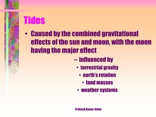

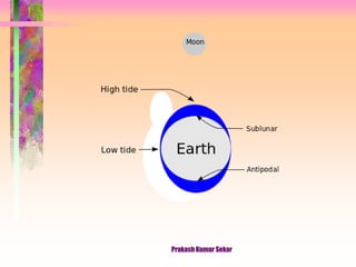

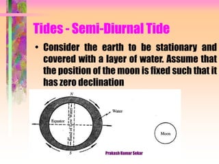
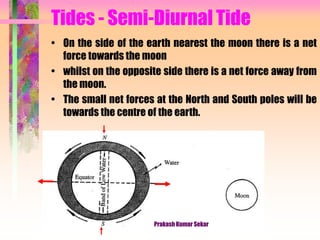
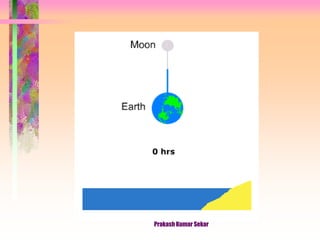
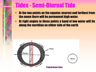
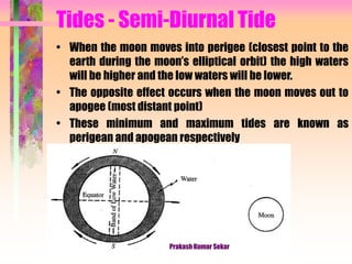
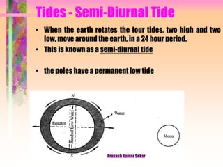
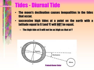
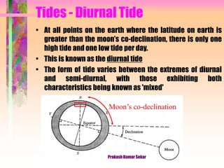
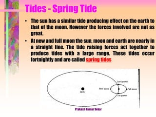
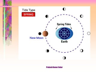
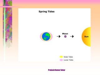
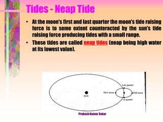
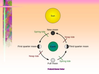
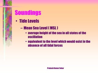
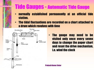
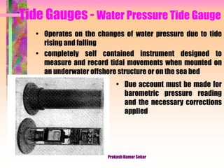

The document discusses hydrographic surveys, which are essential for constructing hydraulic structures, dredging, and navigation, and includes applications such as preparing nautical charts and assessing silting in harbors. It explains the concepts of tides, soundings, and tide gauges, including methods for measuring water depth and fluctuations in tide levels due to gravitational effects from the sun and moon. Various types of tides, such as semi-diurnal, diurnal, spring, and neap tides, are explored, with emphasis on techniques used in measuring and recording these phenomena.


![Pipe materials and types of joints [autosaved]](https://cdn.slidesharecdn.com/ss_thumbnails/pipematerialsandtypesofjointsautosaved-180719140405-thumbnail.jpg?width=640&height=640&fit=bounds)


