Downloaded 1,296 times

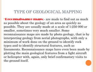


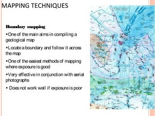


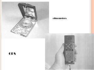


Geological mapping involves systematically observing and recording rock exposures and structural features in the field to produce maps that show the spatial distribution and relationships of rock units. The document discusses different types of geological maps including reconnaissance, regional, detailed, and specialized maps. It also describes common mapping techniques such as traversing, exposure mapping, drilling, underground mapping, and photo-geology. Field equipment used in mapping includes hammers, chisels, compasses, clinometers, tapes, and notebooks.


