Downloaded 401 times

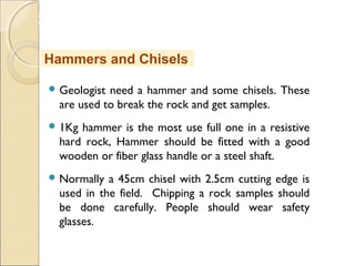
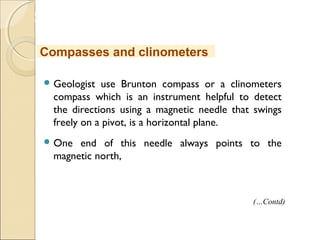


This document outlines the methods and practices involved in geological surveys and mapping, covering topics such as geochemical and geophysical surveys, remote sensing, and the skills required for a geologist. It emphasizes the importance of geological mapping for resource exploration, safety, and environmental considerations, and details the necessary equipment for effective fieldwork. The document serves as a comprehensive guide for students and professionals in earth sciences to understand geological mapping techniques and their applications.


