Downloaded 582 times
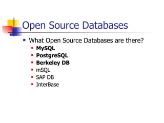
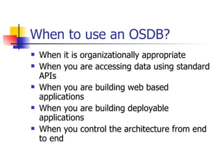
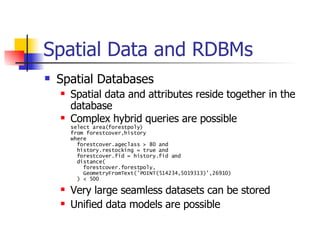
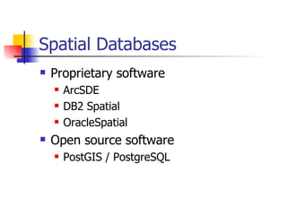
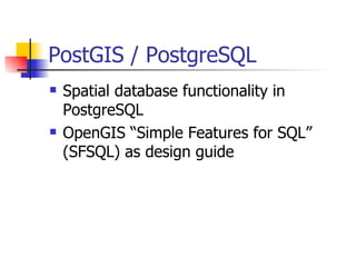


Open source databases like MySQL, PostgreSQL, and Berkeley DB are flexible alternatives to proprietary databases. PostGIS extends PostgreSQL with spatial database capabilities for storing and querying geographic data and objects. It implements OpenGIS standards and provides functions for spatial indexing, analysis, and data access. PostGIS allows integrating geographic data into web and desktop applications and is used successfully in various real-world GIS projects and systems.