Downloaded 281 times
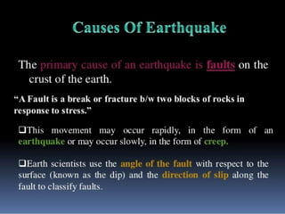
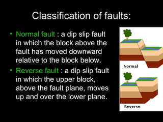
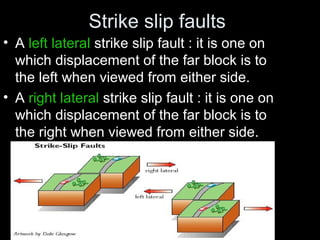
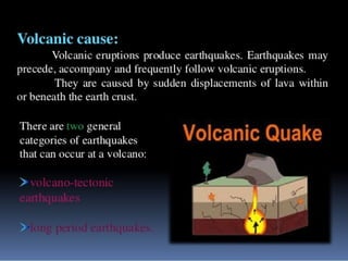
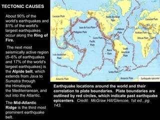
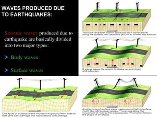
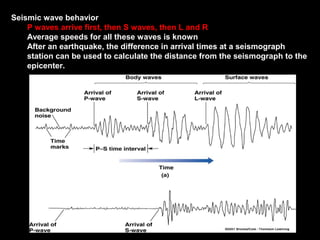
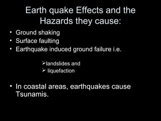
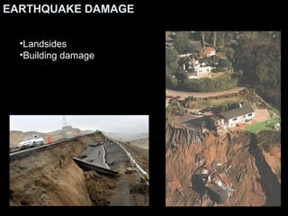
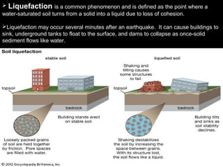
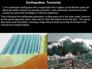
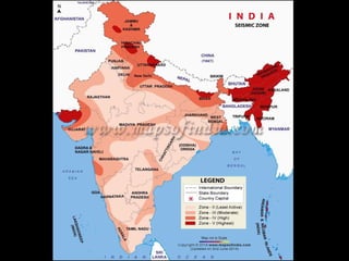
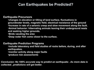
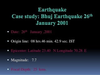


The document discusses earthquakes, their causes, types of fault classifications, and their global distribution, particularly in relation to tectonic plate boundaries. It highlights the effects and hazards associated with earthquakes, such as ground shaking and tsunamis, and presents risk zones in India based on potential damage. Predictions of earthquakes remain uncertain, but advancements in data collection are aimed at improving accuracy over time.


