The document outlines different levels and techniques for data presentation in geography.
Level 1 involves basic techniques including ICT skills and simple expression of ideas. Level 2 uses an accurate range of techniques including ICT to present and develop information with considerable accuracy. Level 3 uses a more complex range of ICT methods appropriately for the investigation, expressing ideas clearly and precisely.
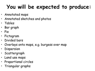
A variety of data presentation techniques are listed including maps, sketches, photos, graphs, overlays and dispersion diagrams, all requiring accuracy with titles, scales etc. More complex techniques involve calculating means and comparing areas using proportional circles or triangular graphs.