Downloaded 306 times
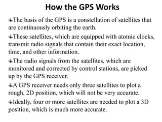
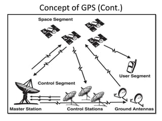
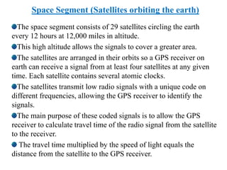
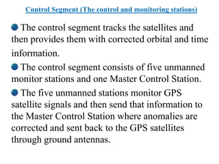
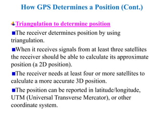

The Global Positioning System (GPS) uses satellites and receivers to locate positions on Earth. GPS satellites continuously transmit radio signals that are used by receivers to calculate their position using trilateration. The GPS system consists of space, control, and user segments - with satellites in space transmitting signals, control stations monitoring the satellites and sending corrections, and users employing receivers. A receiver needs signals from at least three satellites to determine a two-dimensional position, and four or more for greater accuracy.


