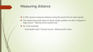
Download to read offline

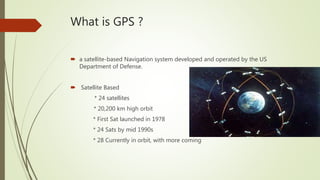

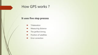
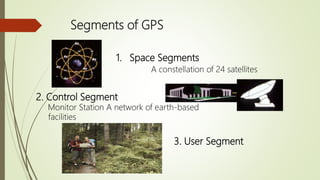

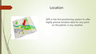
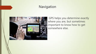


The Global Positioning System (GPS) is a satellite-based navigation system developed by the US Department of Defense, consisting of 24 current satellites that enable precise location data. GPS uses a five-step process that includes trilateration and error correction to measure distances from satellites and compute positions in three dimensions. It has various applications including navigation, tracking, mapping, and timing synchronization.


!["GPS" Global Positioning System [PDF]](https://cdn.slidesharecdn.com/ss_thumbnails/globalpositioningsystemgpsmainpdf-101105164539-phpapp01-thumbnail.jpg?width=640&height=640&fit=bounds)


