Downloaded 119 times
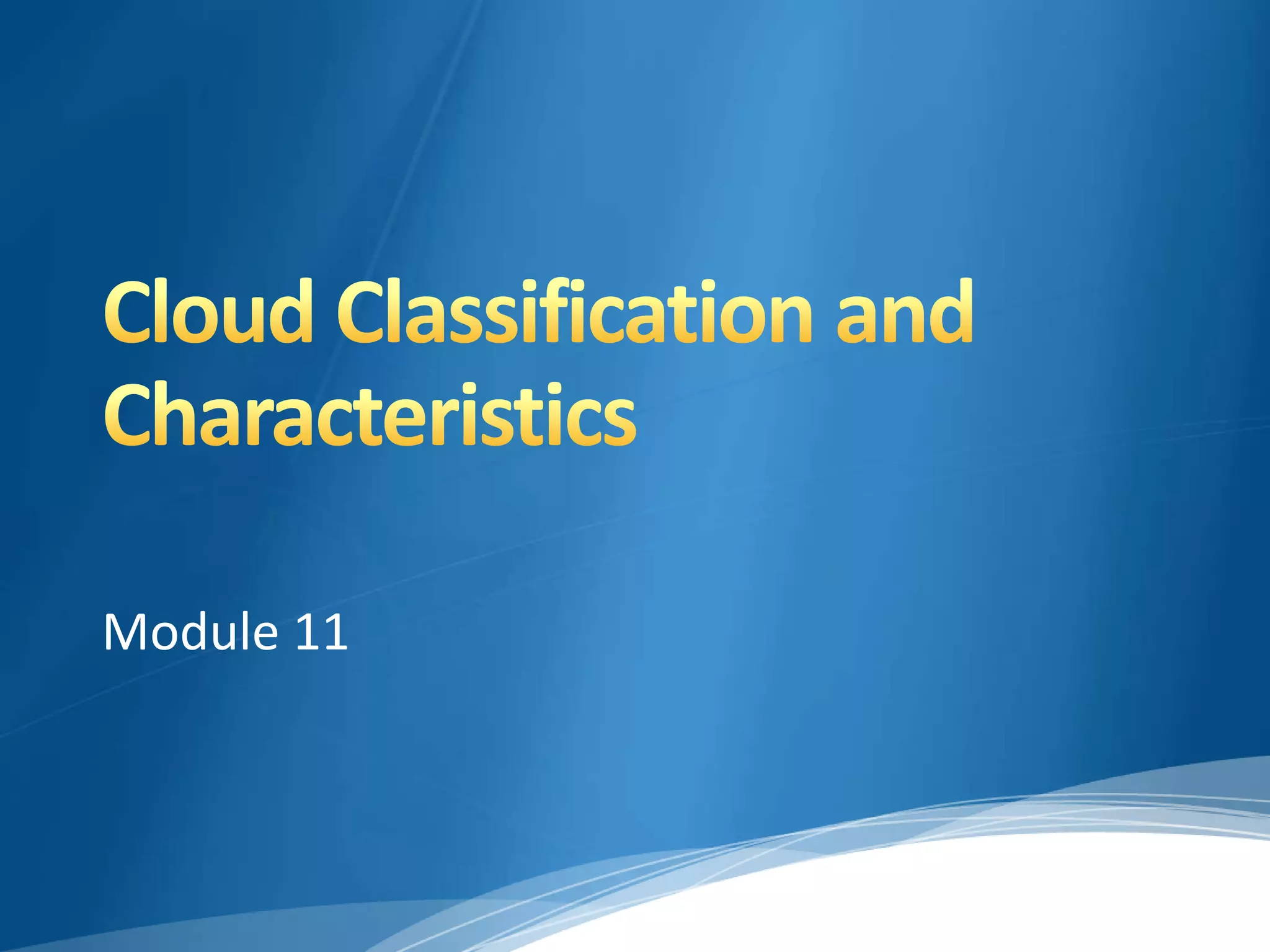
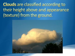

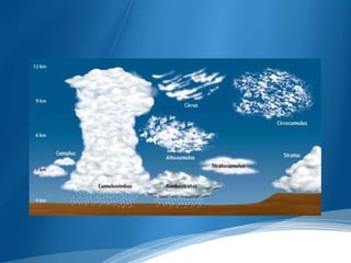
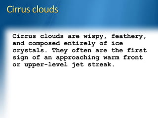
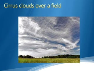
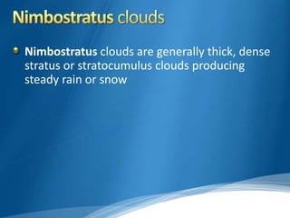
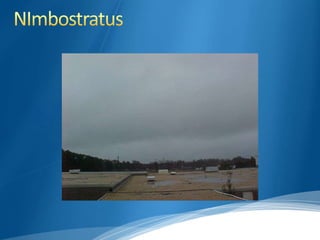
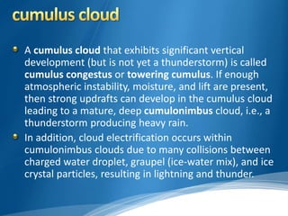
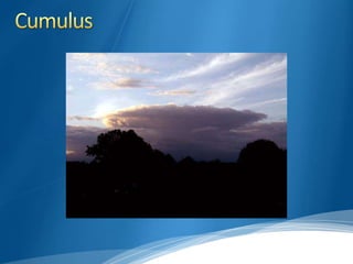
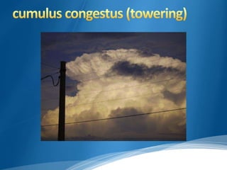

This document discusses cloud classification and describes the different types of clouds. It begins by explaining the Latin prefixes used to classify clouds by altitude, such as "cirro-" for high-level clouds above 20,000 feet composed of ice crystals. Mid-level clouds between 6,500 and 20,000 feet use the prefix "alto-", and can contain water, ice, or a mix. Low clouds below 6,500 feet do not use a prefix. The document then describes the main types of high, mid, and low clouds such as cirrus, altostratus, stratocumulus, and cumulonimbus clouds. It explains the characteristic appearances and formations of each cloud type.


![18.2[1] cloud formation](https://cdn.slidesharecdn.com/ss_thumbnails/18-21cloudformation-100415125441-phpapp01-thumbnail.jpg?width=640&height=640&fit=bounds)


![Koppen classification and land area characteristics [autosaved]](https://cdn.slidesharecdn.com/ss_thumbnails/koppenclassificationandlandareacharacteristicsautosaved-210129205232-thumbnail.jpg?width=640&height=640&fit=bounds)


