
Downloaded 474 times


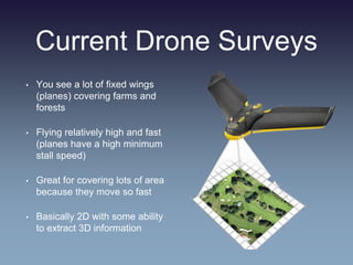
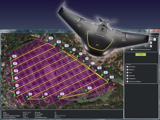
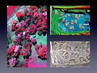
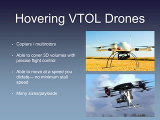
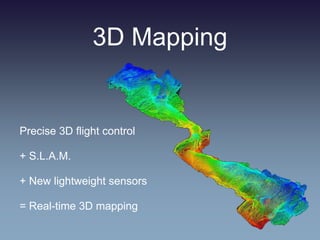
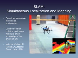
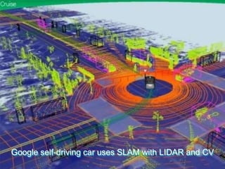
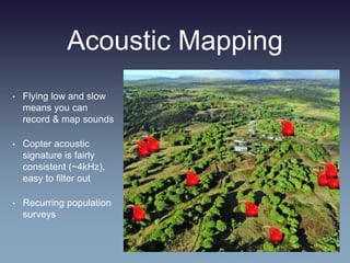
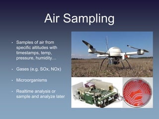
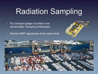
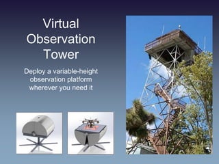
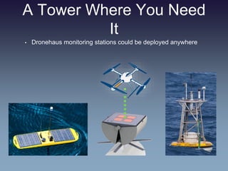
This document discusses using drones equipped with 3D mapping capabilities and sensors for specialized surveying applications. Hovering multirotor drones can precisely map 3D volumes and features like cliffsides or forest structures by flying slowly at user-defined speeds. Real-time 3D mapping is enabled through simultaneous localization and mapping (SLAM) techniques combined with new lightweight sensors. Alternative sensors discussed include acoustic mapping, air sampling of gases and microorganisms, radiation sampling, and deploying observation towers through drone-mounted structures.


