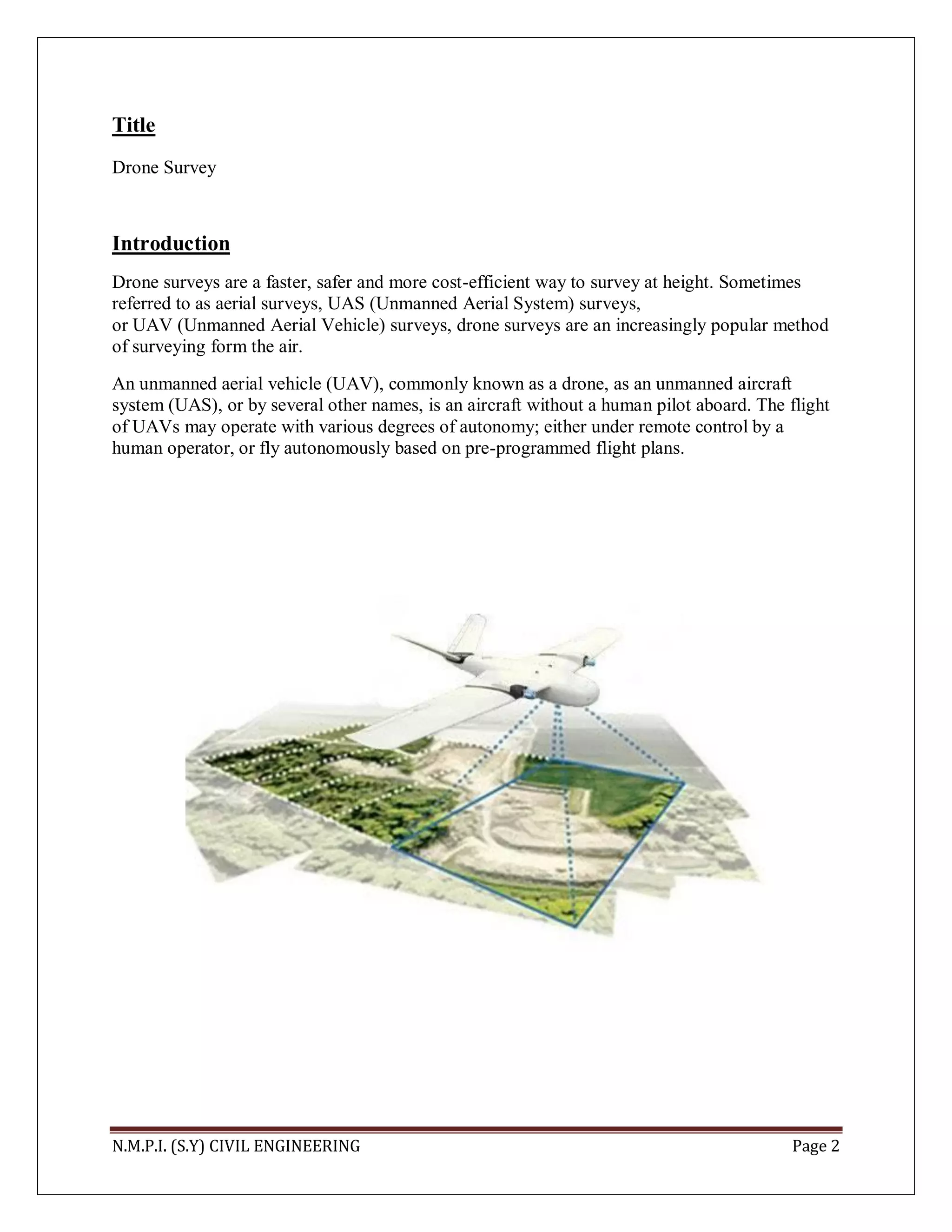
The document discusses drone surveys and applications in civil engineering. It provides an overview of how drone surveys can be used for mapping, surveying, construction monitoring, inspections, and other applications. Drones allow data to be collected from the sky efficiently and safely. High-resolution orthomosaic maps and 3D models can be created through drone photography and post-processing software. This provides accurate spatial data that saves time and costs compared to traditional surveying methods.


![Coded Agents – with UiPath SDK + LangGraph [Virtual Hands-on Workshop]](https://cdn.slidesharecdn.com/ss_thumbnails/codedagentsdeck-251215155422-5497c599-thumbnail.jpg?width=640&height=640&fit=bounds)


