Download to read offline

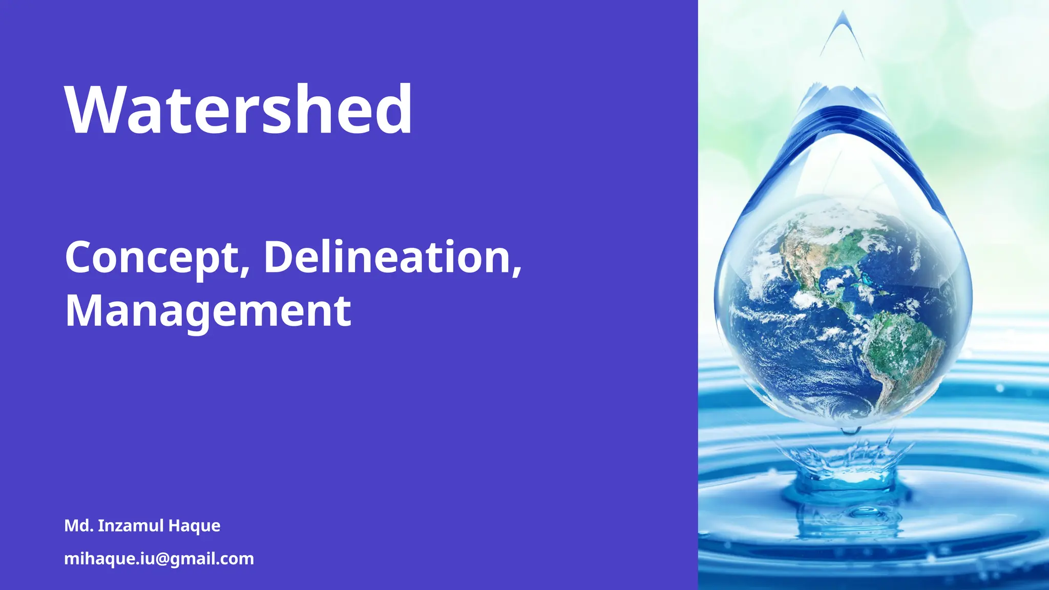
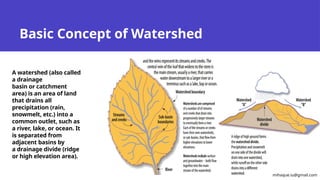
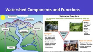
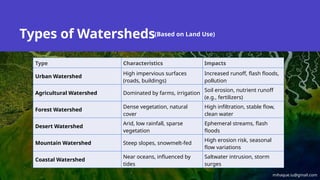
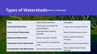
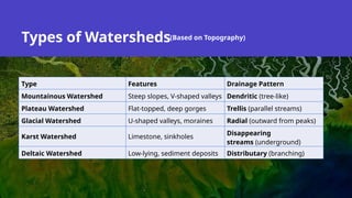
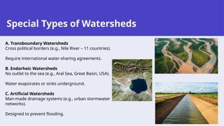
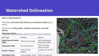
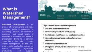
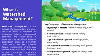
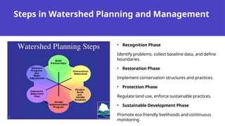

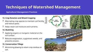
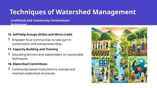
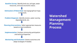
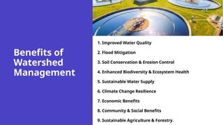


This presentation presents basic concepts about watersheds and their management. Watershed management involves sustainably managing land and water resources within a drainage area to balance ecological, economic, and social needs. Key goals include conserving soil and water, enhancing agriculture, recharging groundwater, and mitigating floods. Techniques range from structural (check dams, terracing) to vegetative (agroforestry, grass waterways) and community-based (training, self-help groups). The process includes planning, implementation, and monitoring with active local participation. Benefits include improved water availability, reduced erosion, higher crop yields, and stronger climate resilience. Effective watershed management ensures long-term sustainability and supports rural livelihoods.


