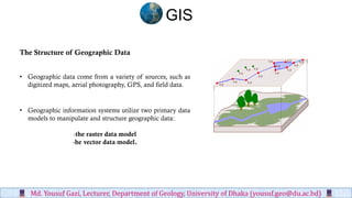
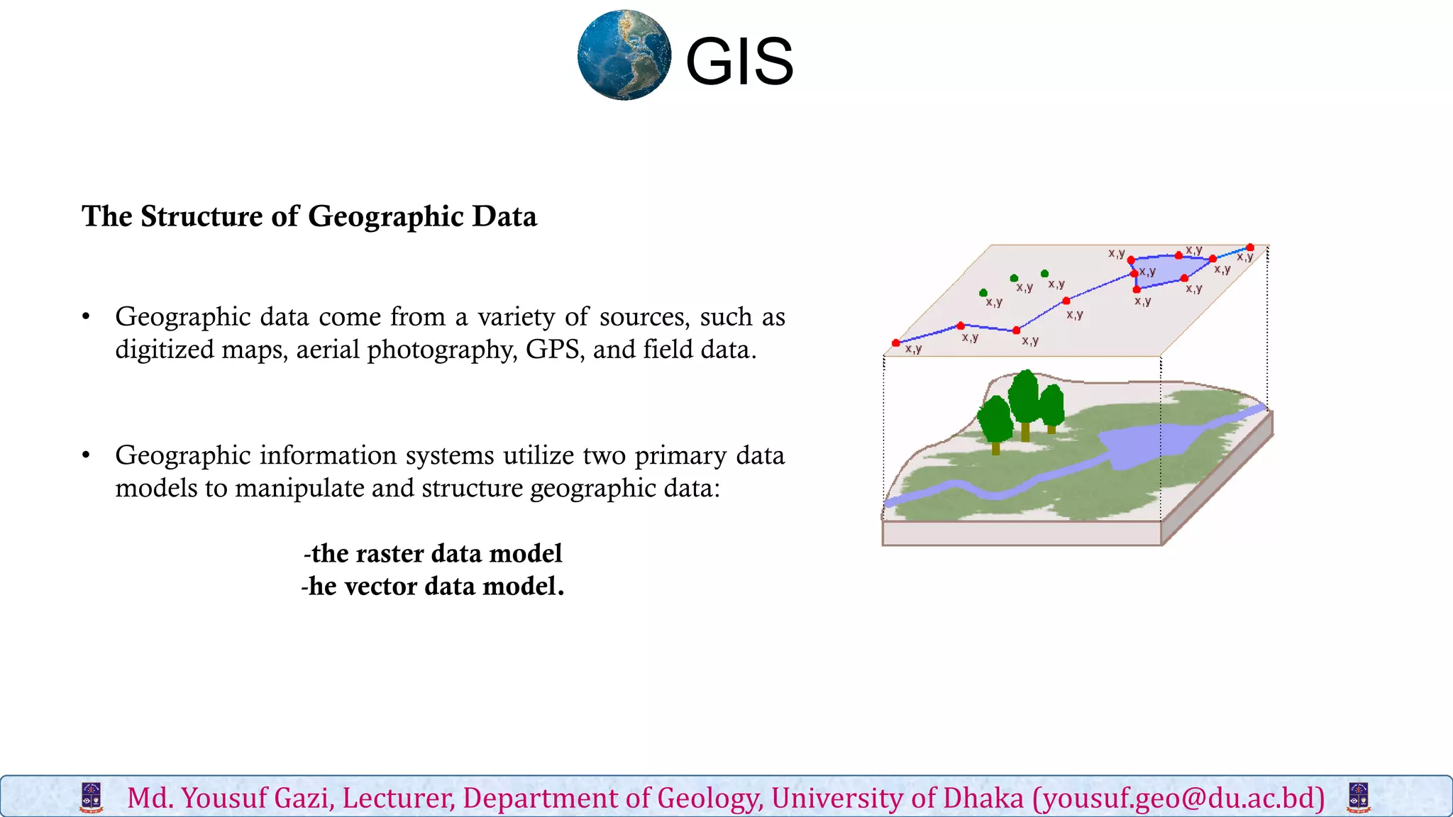
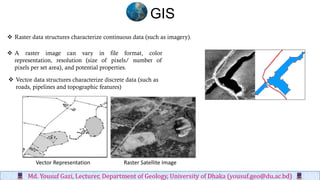
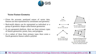
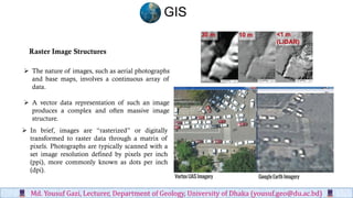
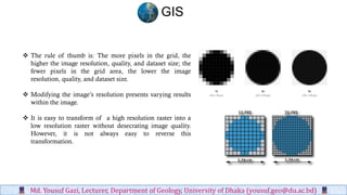
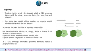
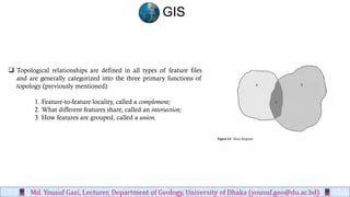
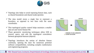
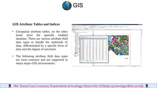
The document discusses the two primary data models used in geographic information systems (GIS): the raster and vector data models. The raster model represents continuous geographic data as grids of cells or pixels, while the vector model represents discrete geographic features as points, lines, and polygons. Each data model has advantages and disadvantages related to accuracy, data size, and processing needs. The document also examines topological relationships and attribute tables that allow GIS software to organize and query geographic data.