Downloaded 286 times


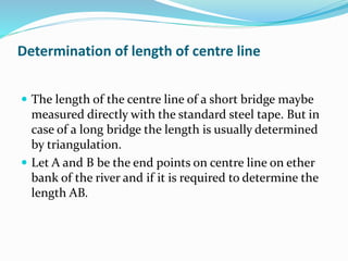
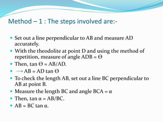
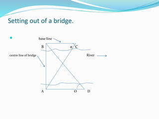
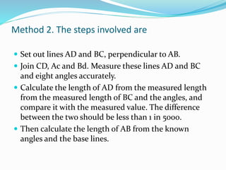
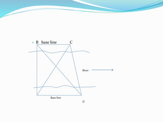
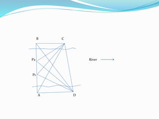
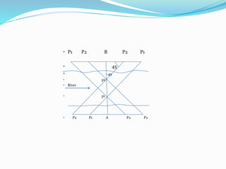


The document discusses the process of setting out a bridge, which involves transferring the design plans accurately to the construction site. It describes how to determine the length of the center line using triangulation or traversing methods. It also explains two methods for determining the locations of bridge piers: 1) measuring angles and distances from base lines perpendicular to the center line, or 2) directly measuring pier distances on the plans and locating them using theodolites sighted from both sides of the center line. Accurately setting out the bridge is crucial before construction can begin.


