Downloaded 56 times


![ It,s tell us
Top and bottum
Environment [Arid,Semi Arid]
Condition](https://image.slidesharecdn.com/masoodakhtar-150709152734-lva1-app6891/85/Primary-sedimentary-structures-17-320.jpg)


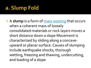

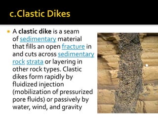


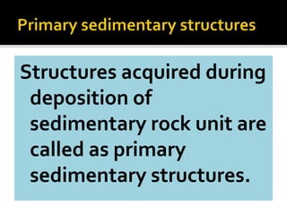
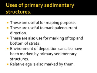
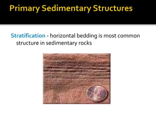
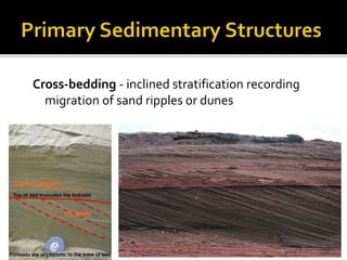
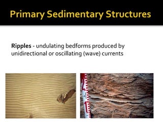
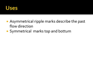
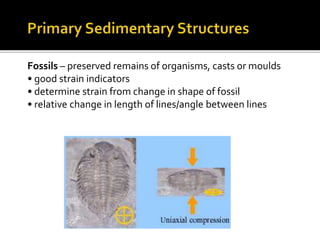
Primary sedimentary structures are features formed during deposition of sedimentary rocks that provide information about the depositional environment. Some key primary sedimentary structures mentioned in the document include stratification, cross-bedding, ripples, graded bedding, sole marks, fossils, rip-up clasts, rainprints, desiccation cracks, imbrication, flute casts, soft-sediment deformation structures like slump folds, flame structures and clastic dikes. These structures can be used to determine paleocurrent direction, relative age, top vs bottom of strata, and the environmental conditions during deposition.


