Downloaded 559 times

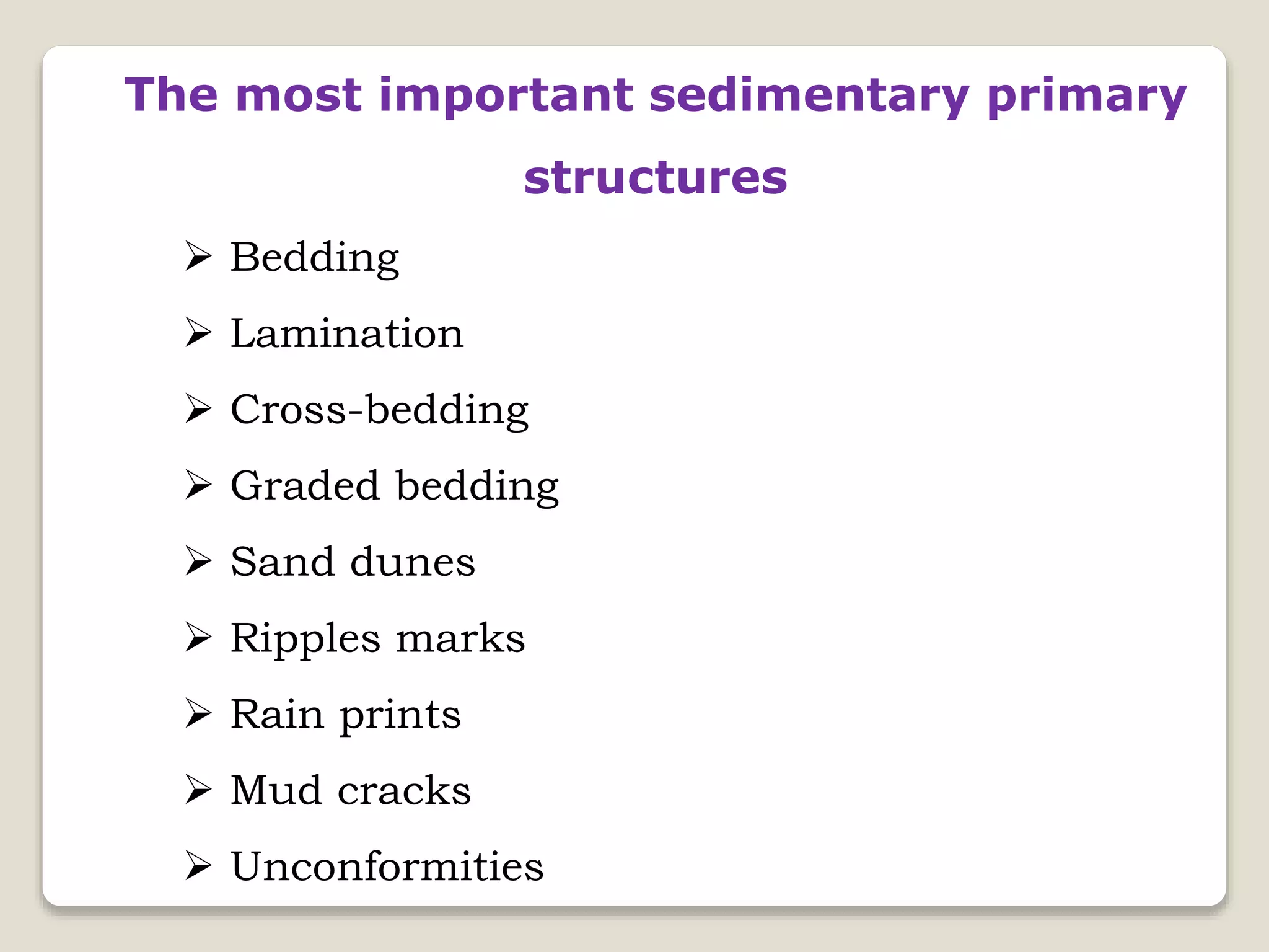
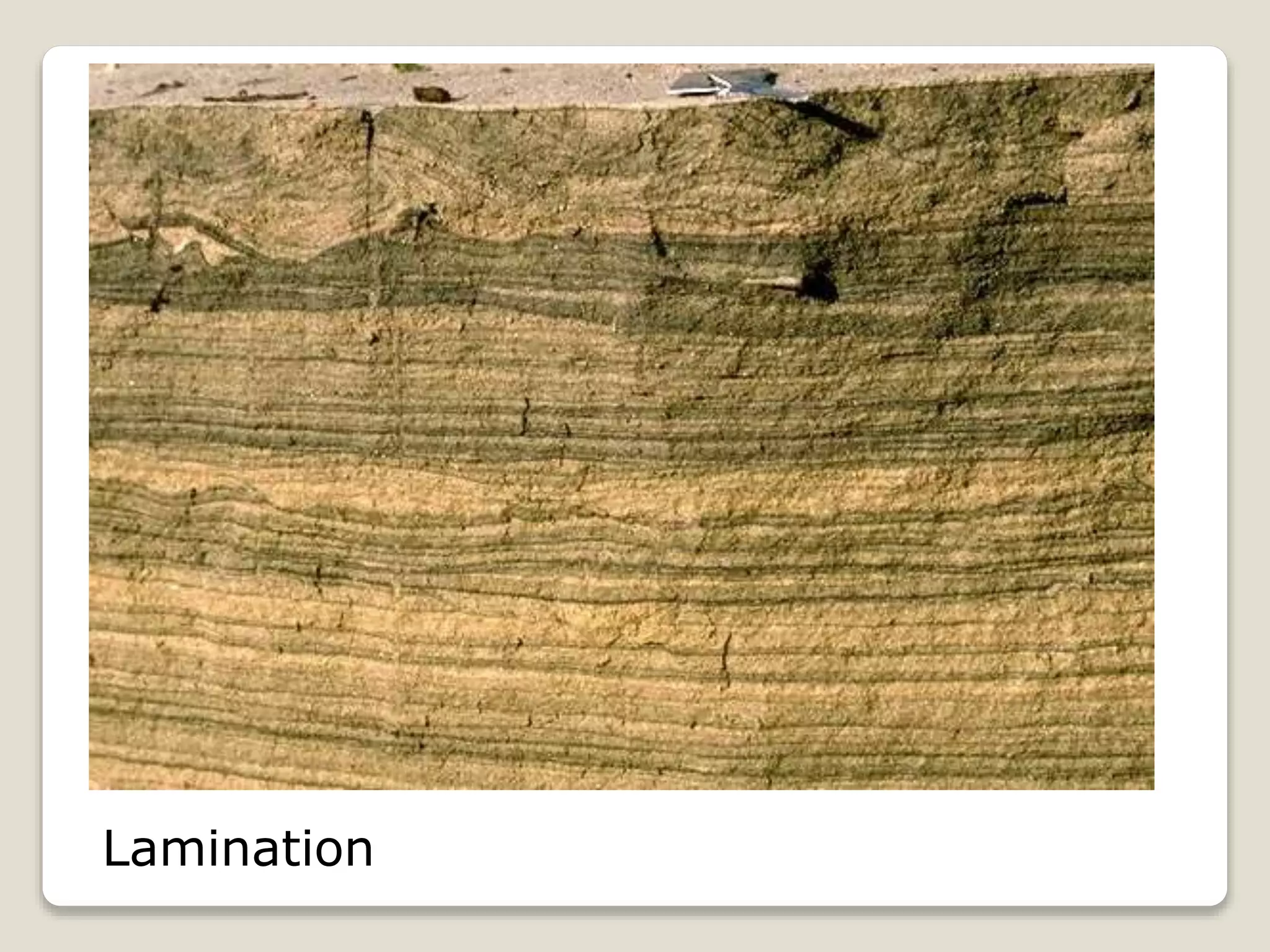
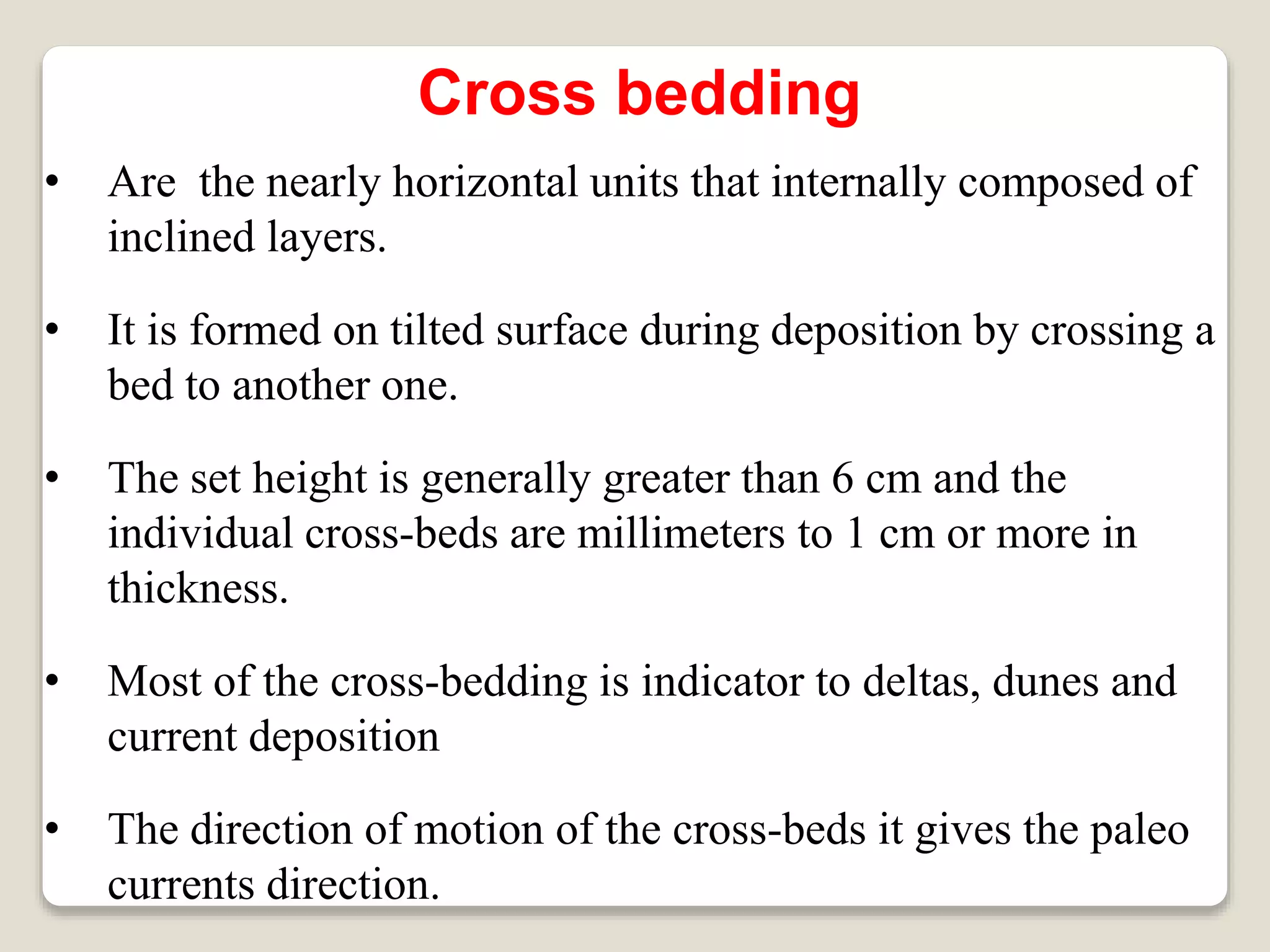
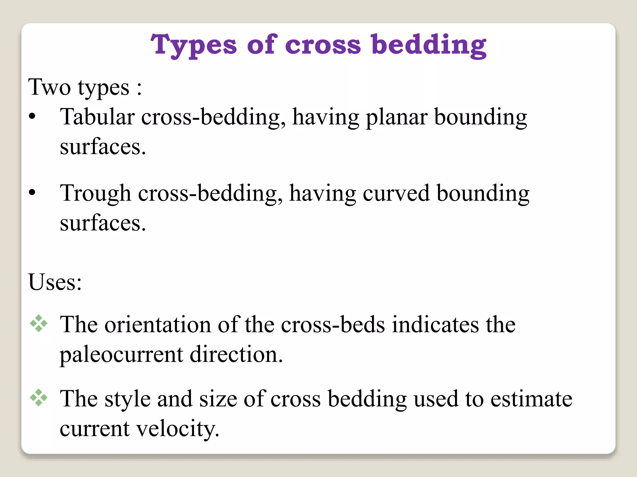
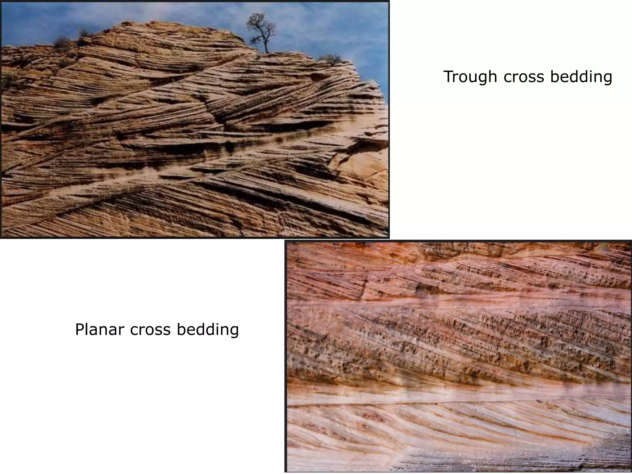
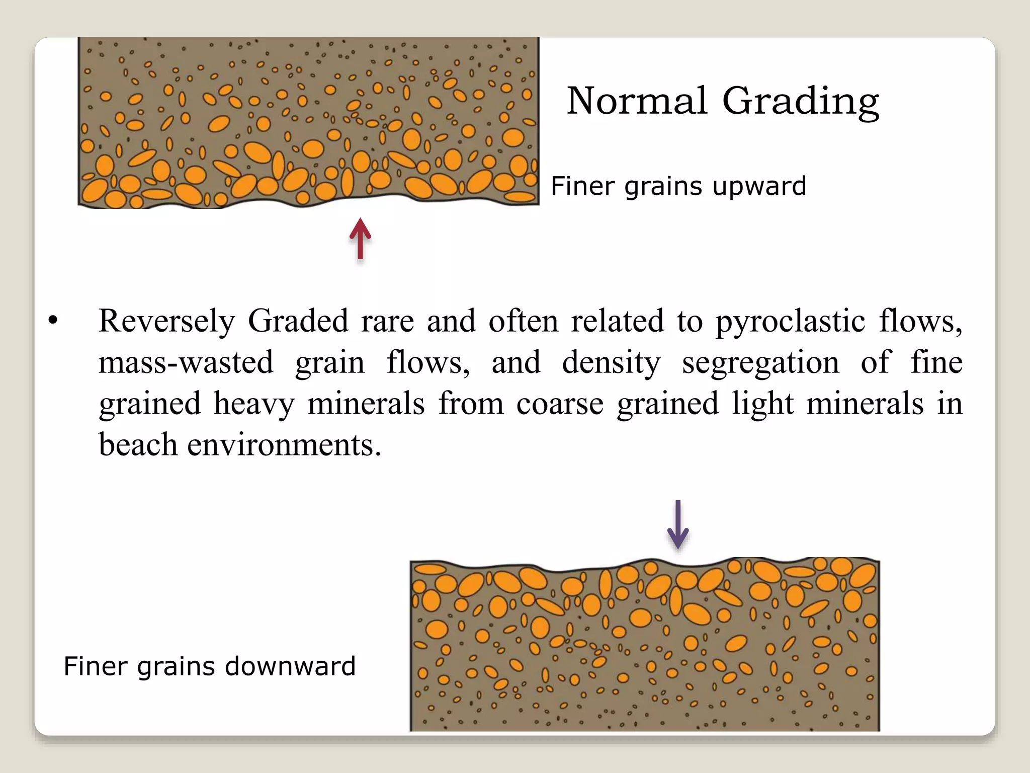
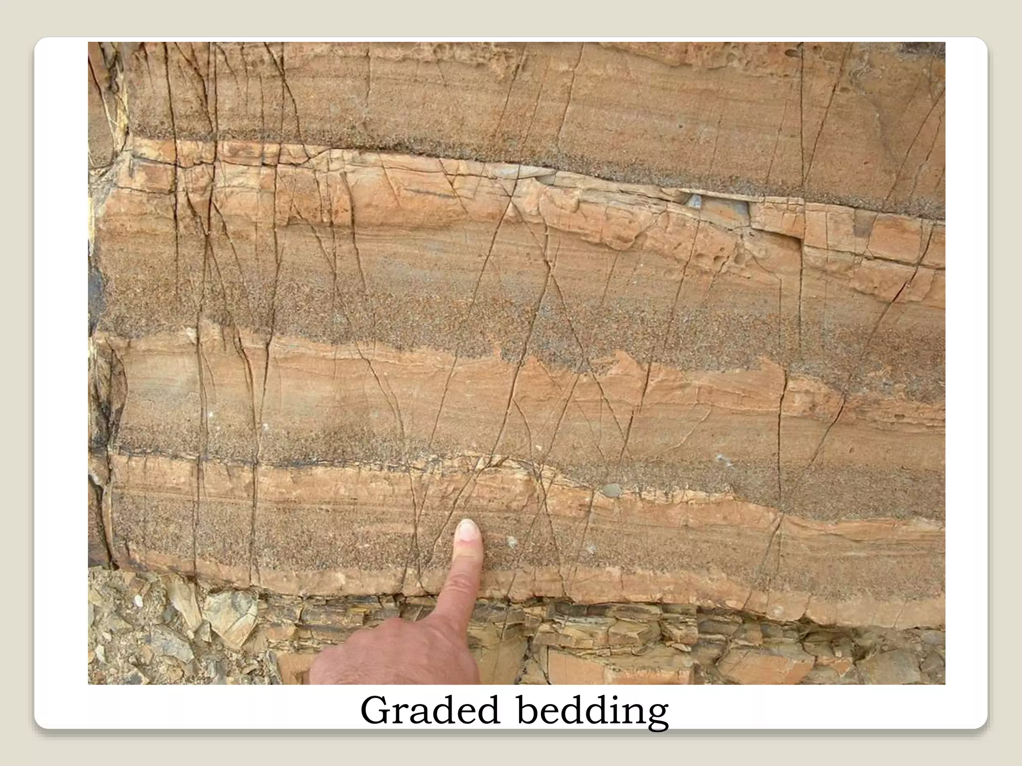
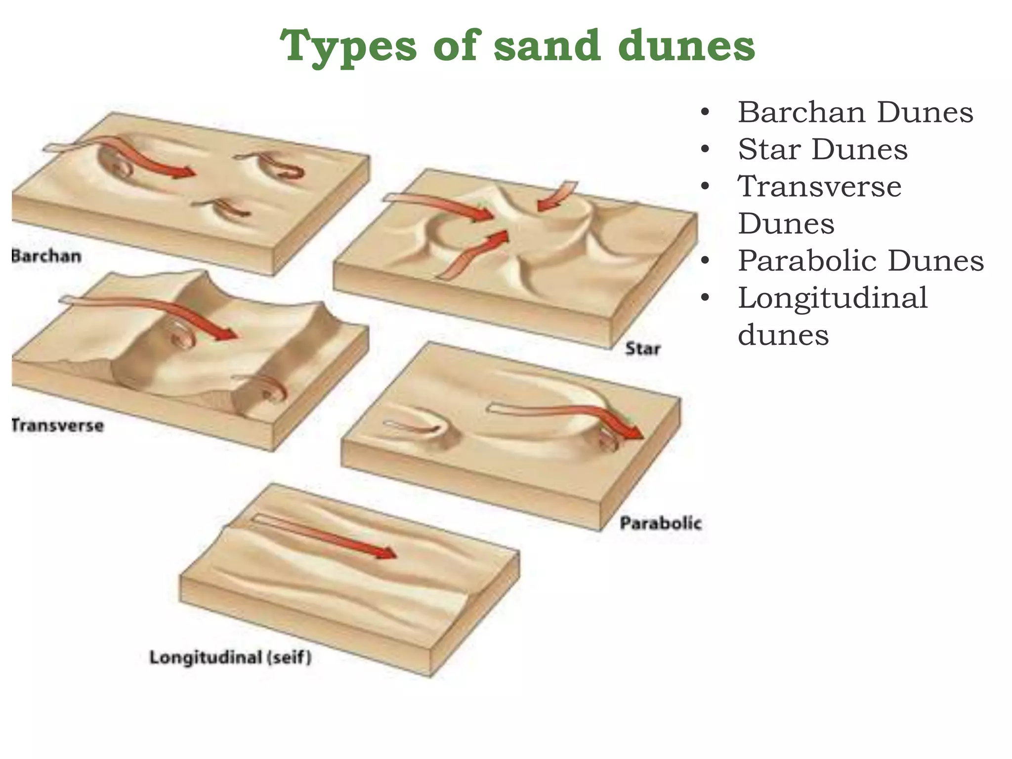
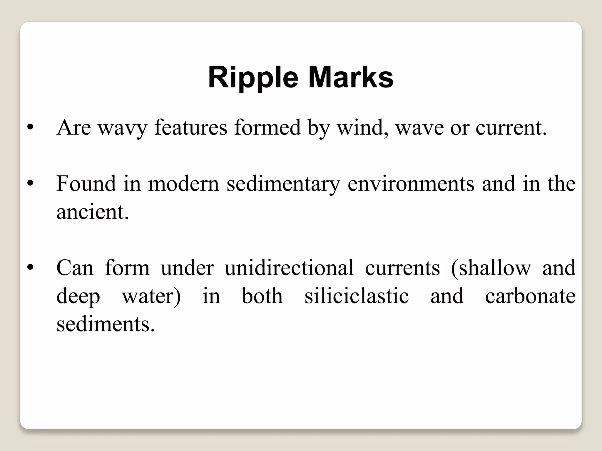
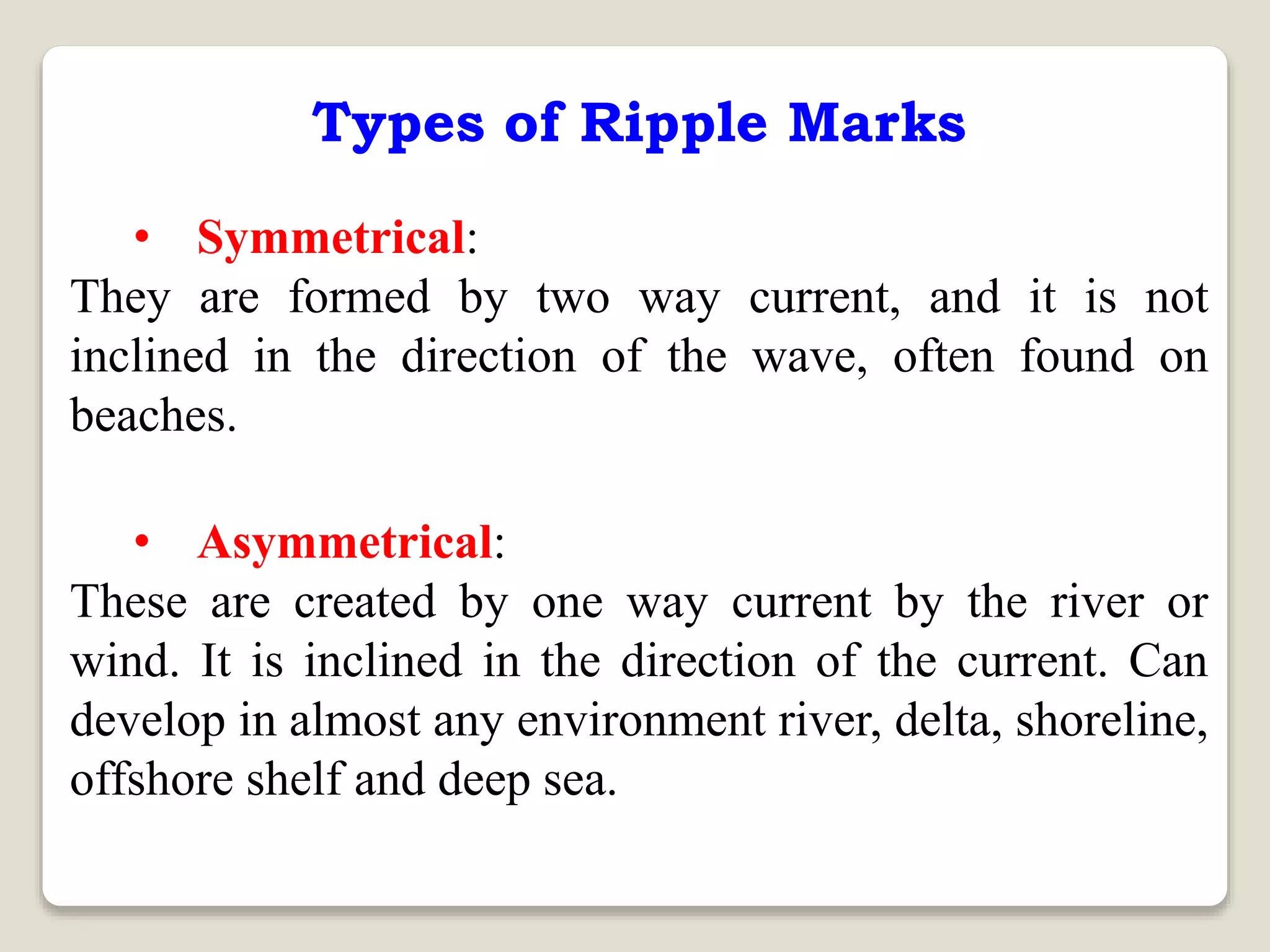
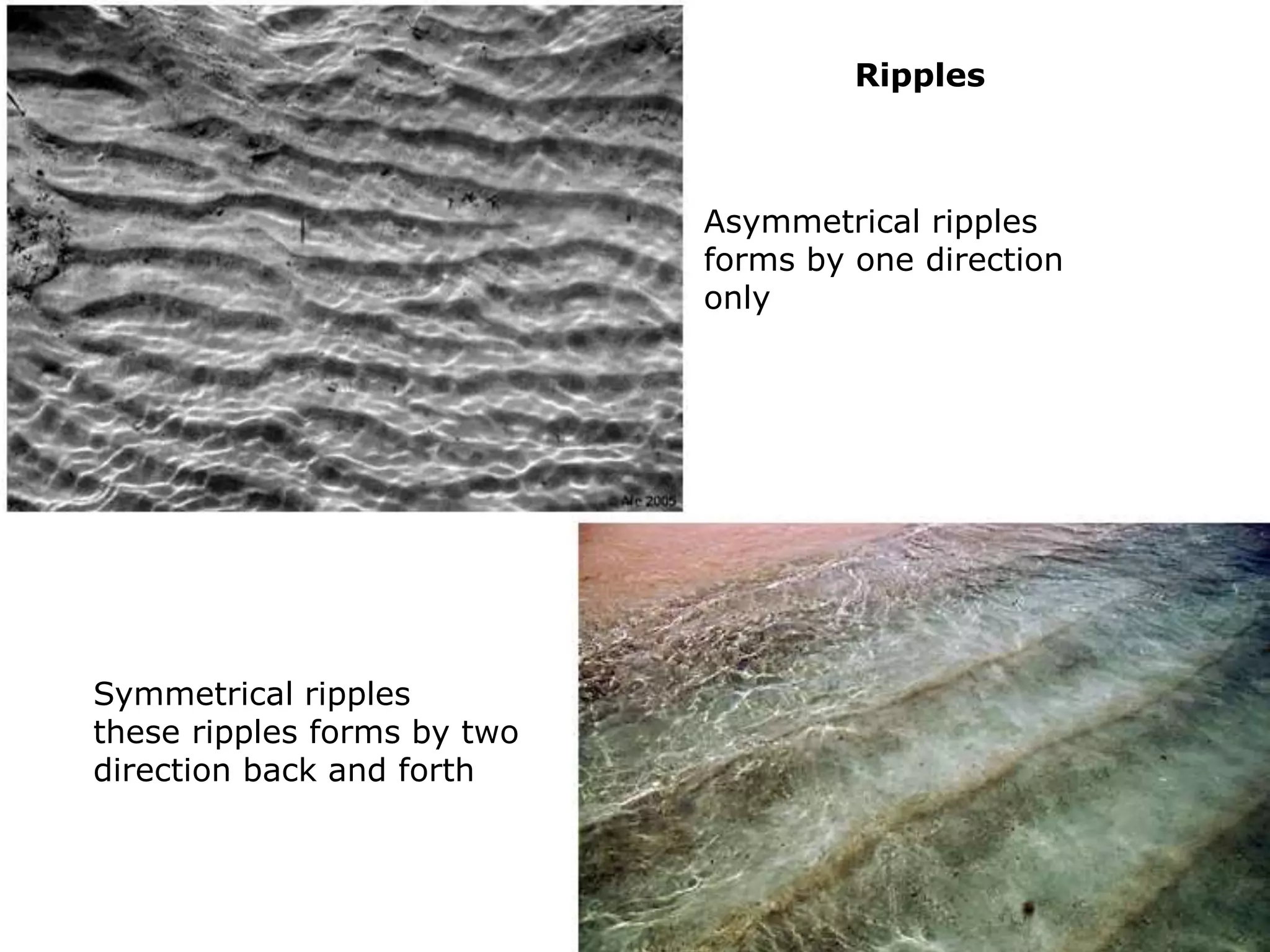
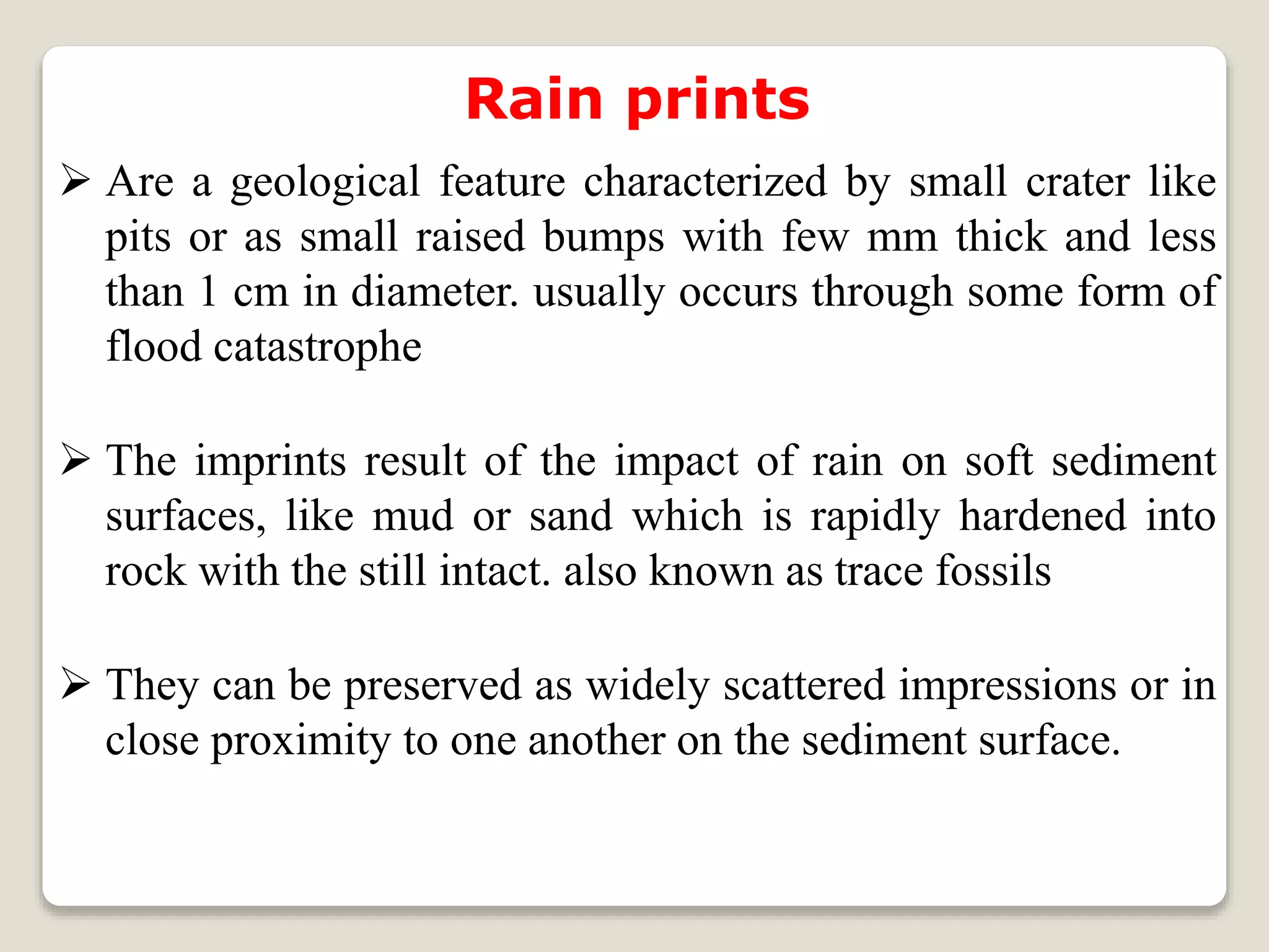
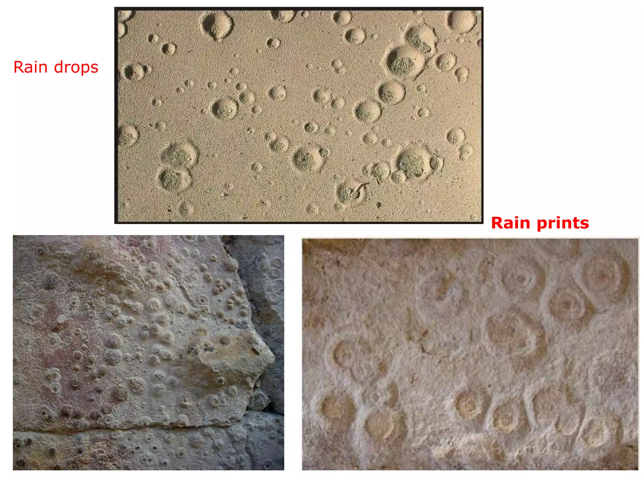
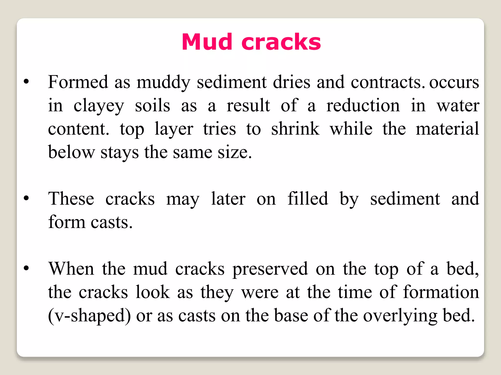
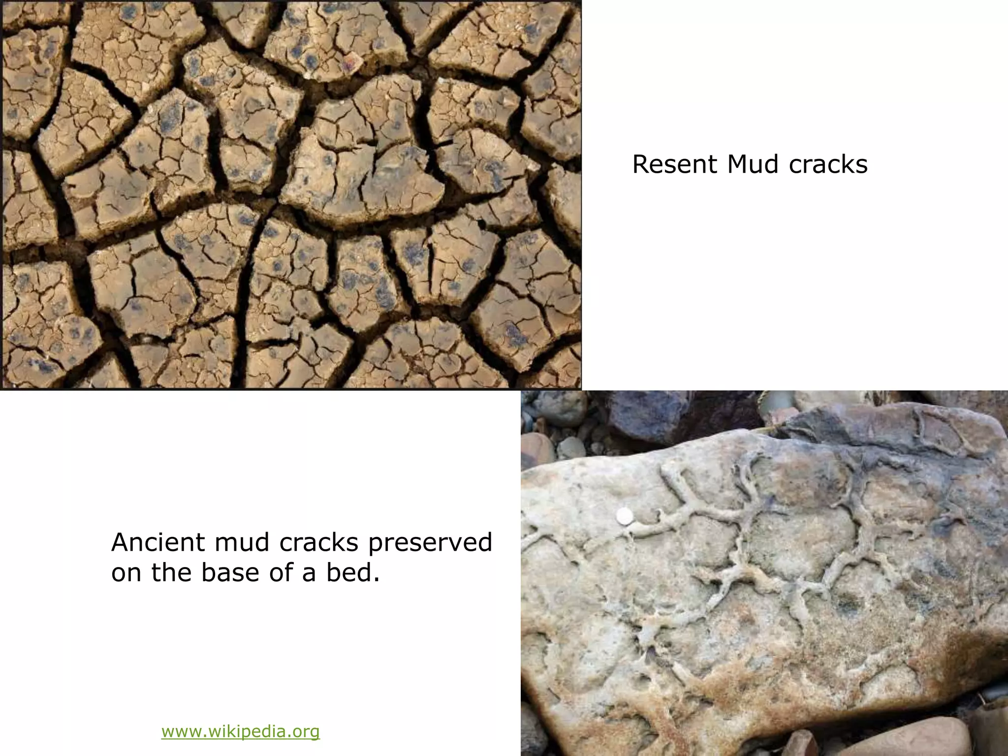
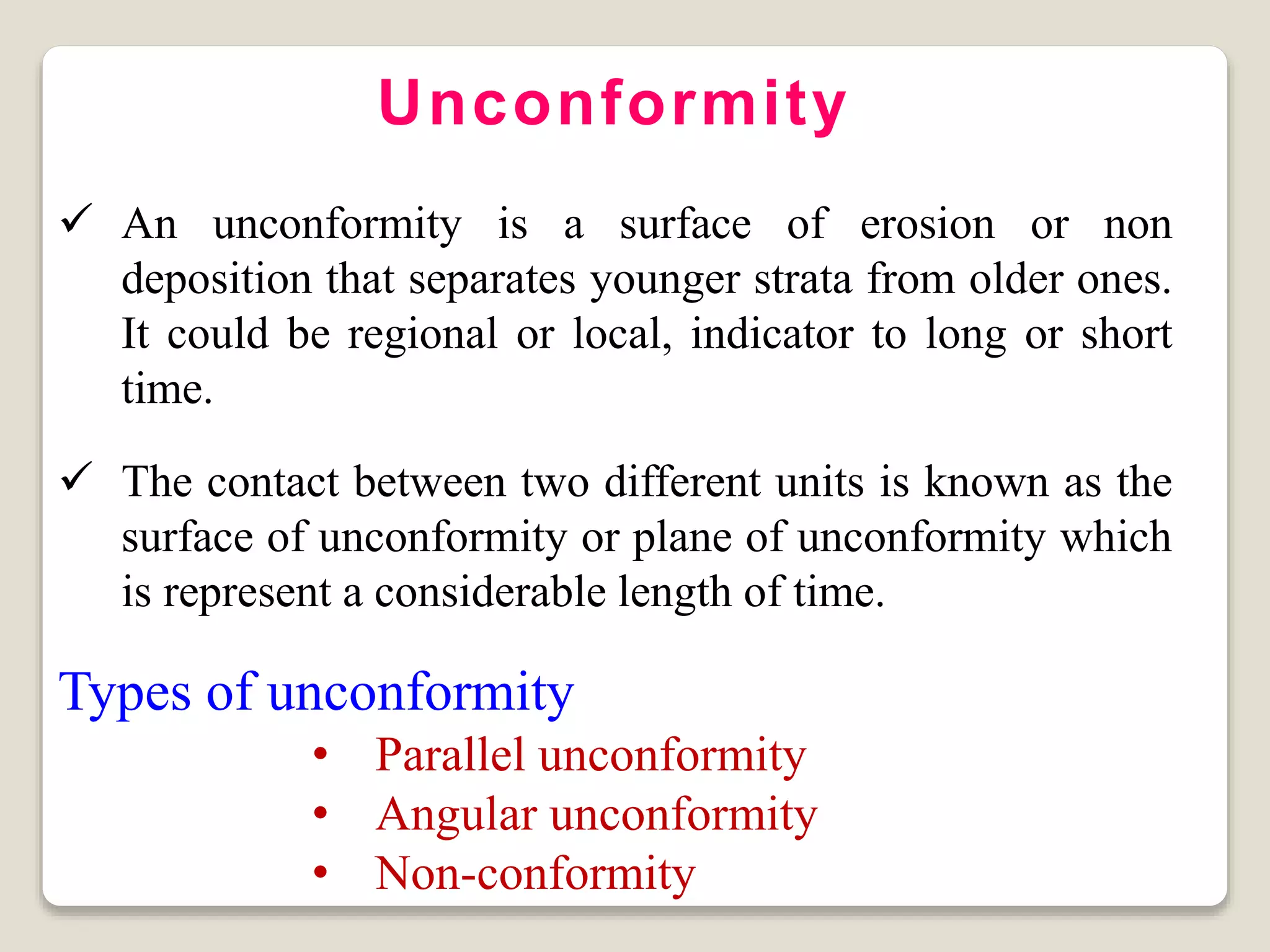
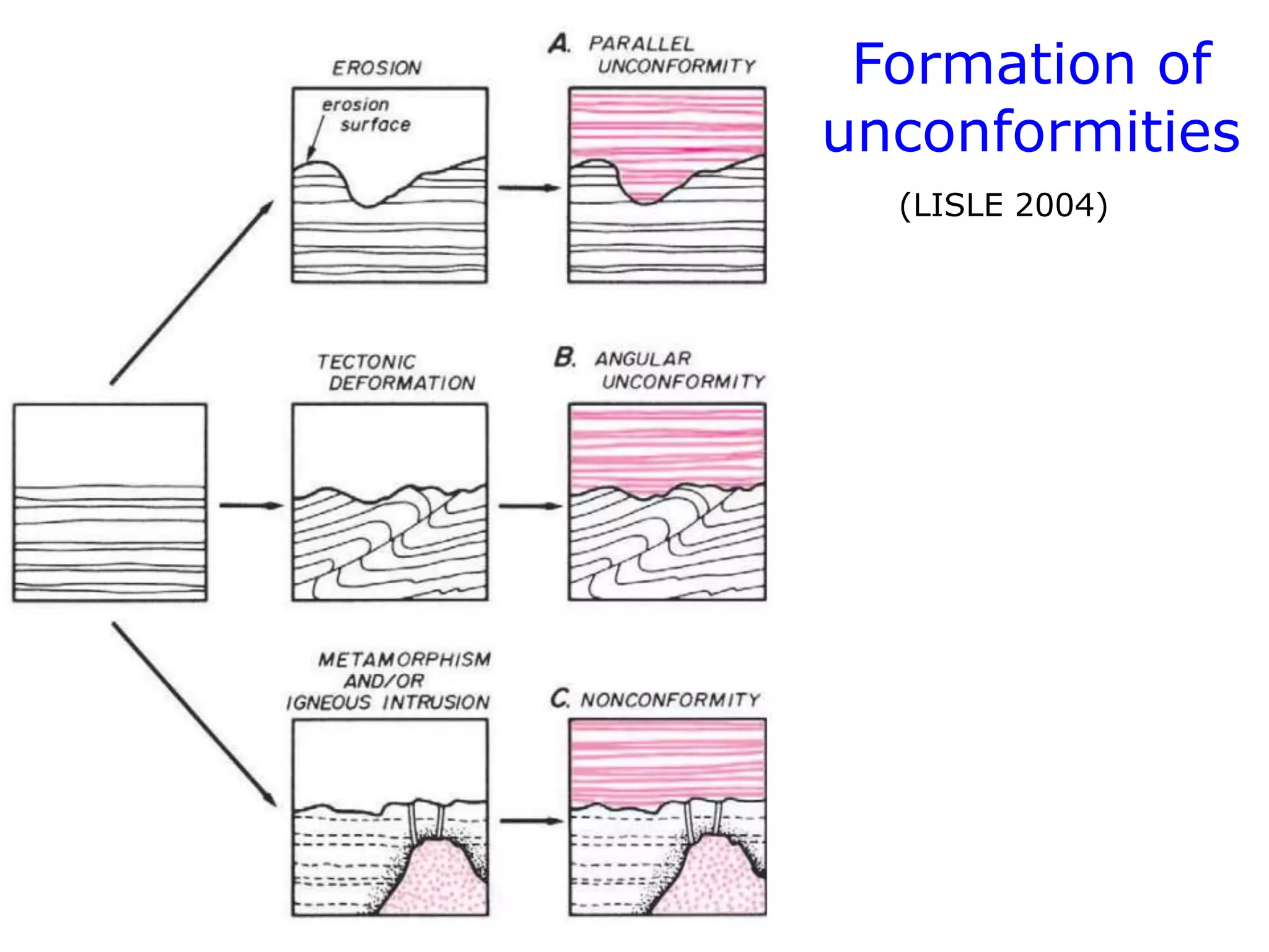
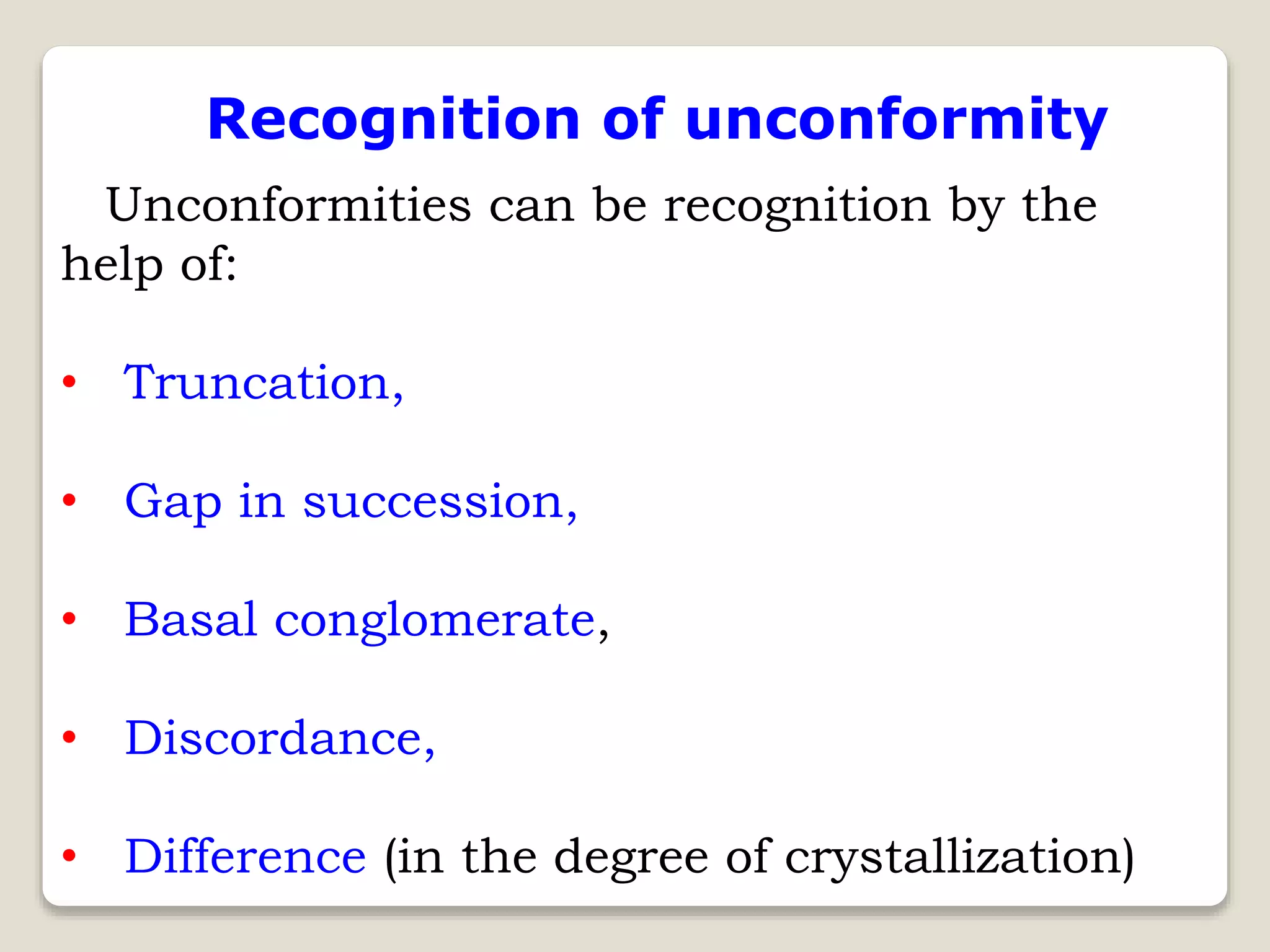
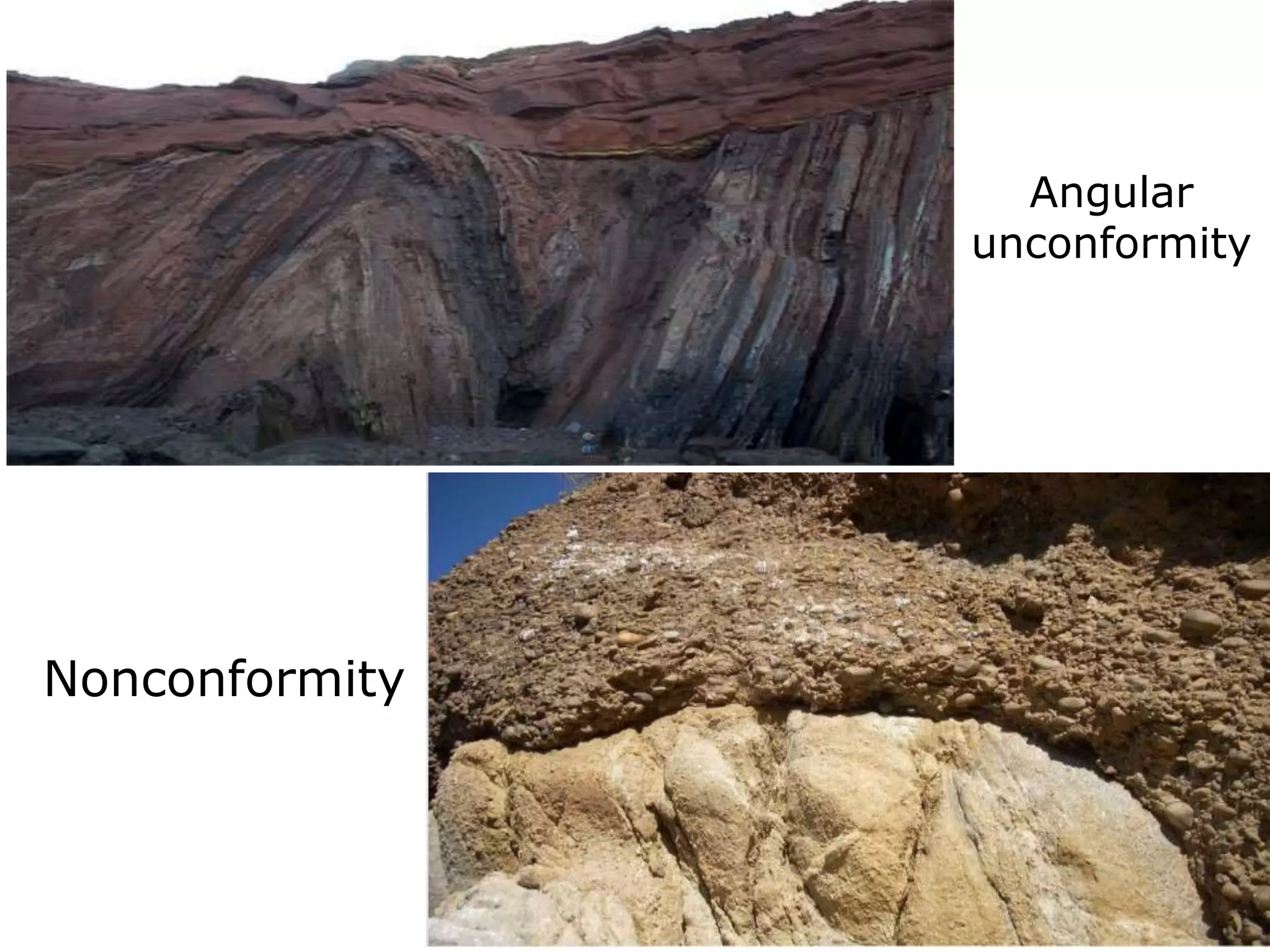
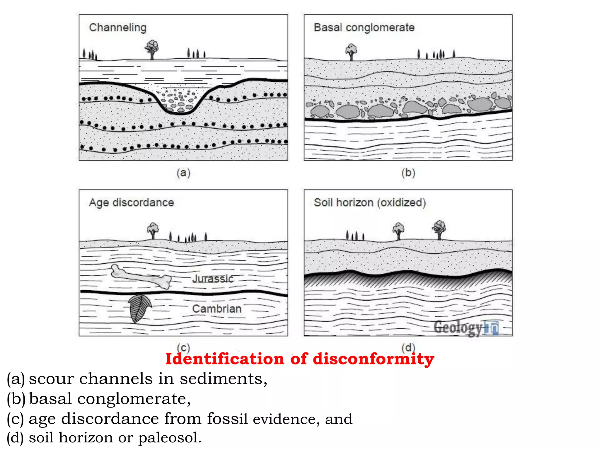

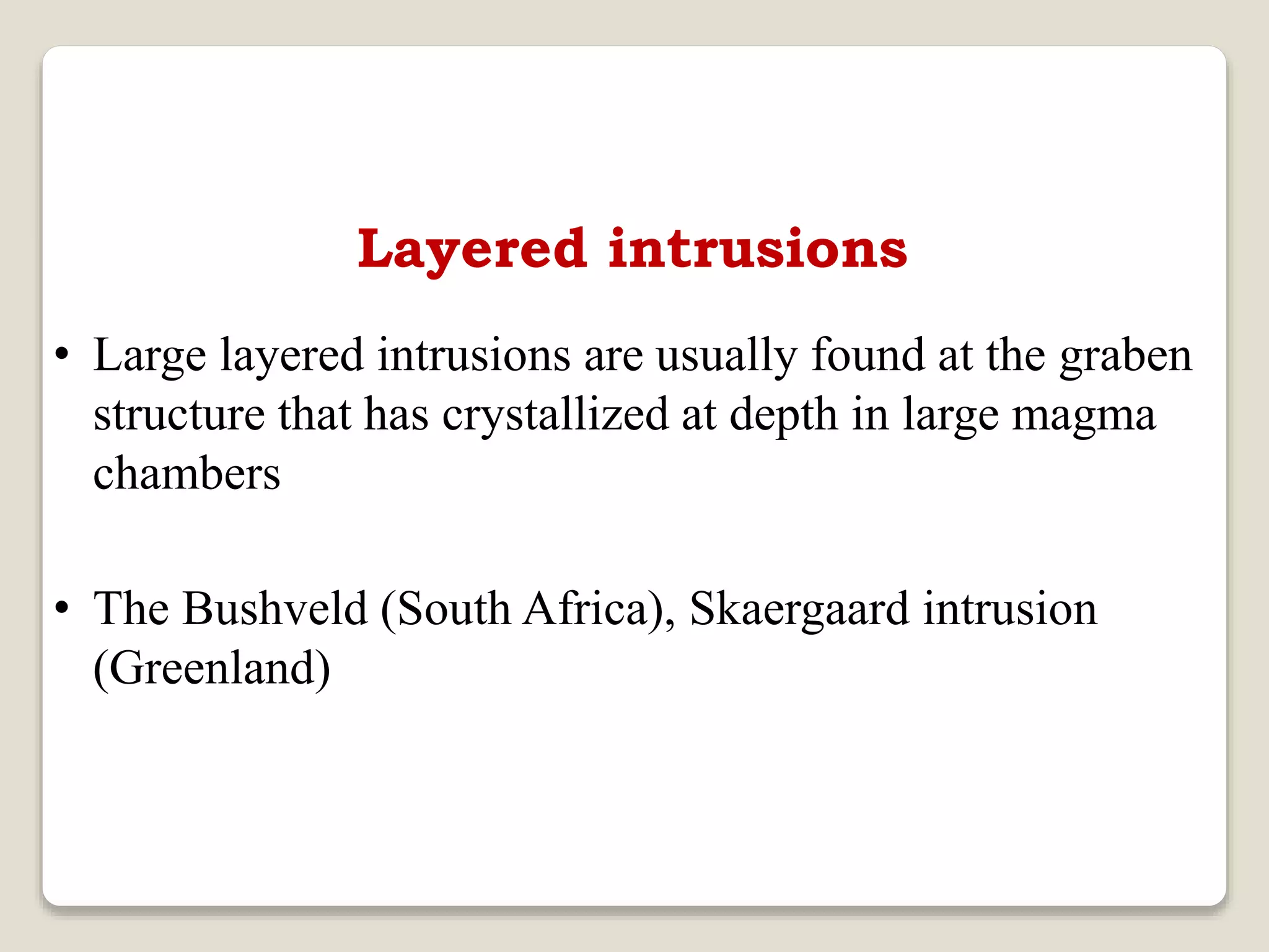
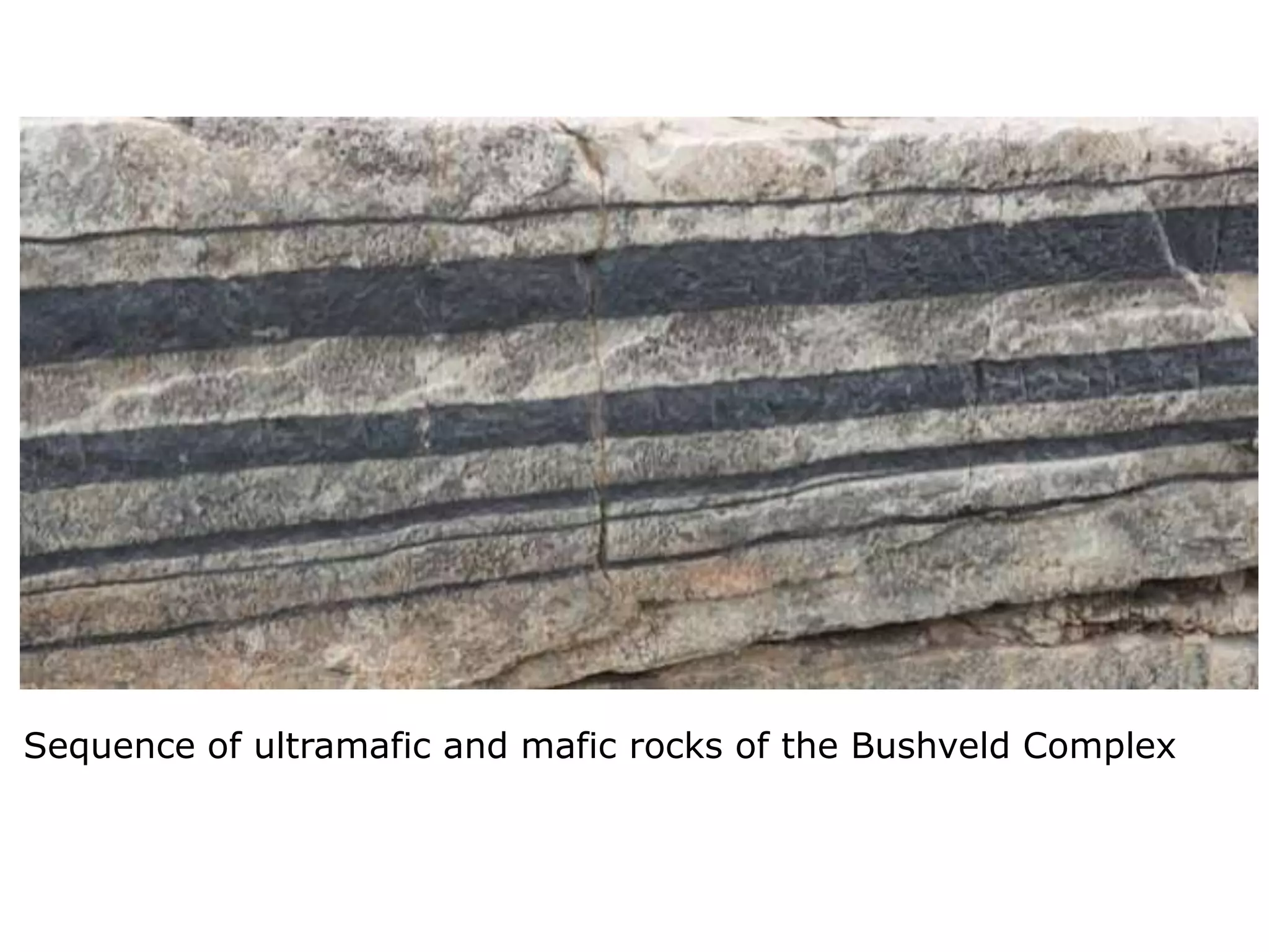
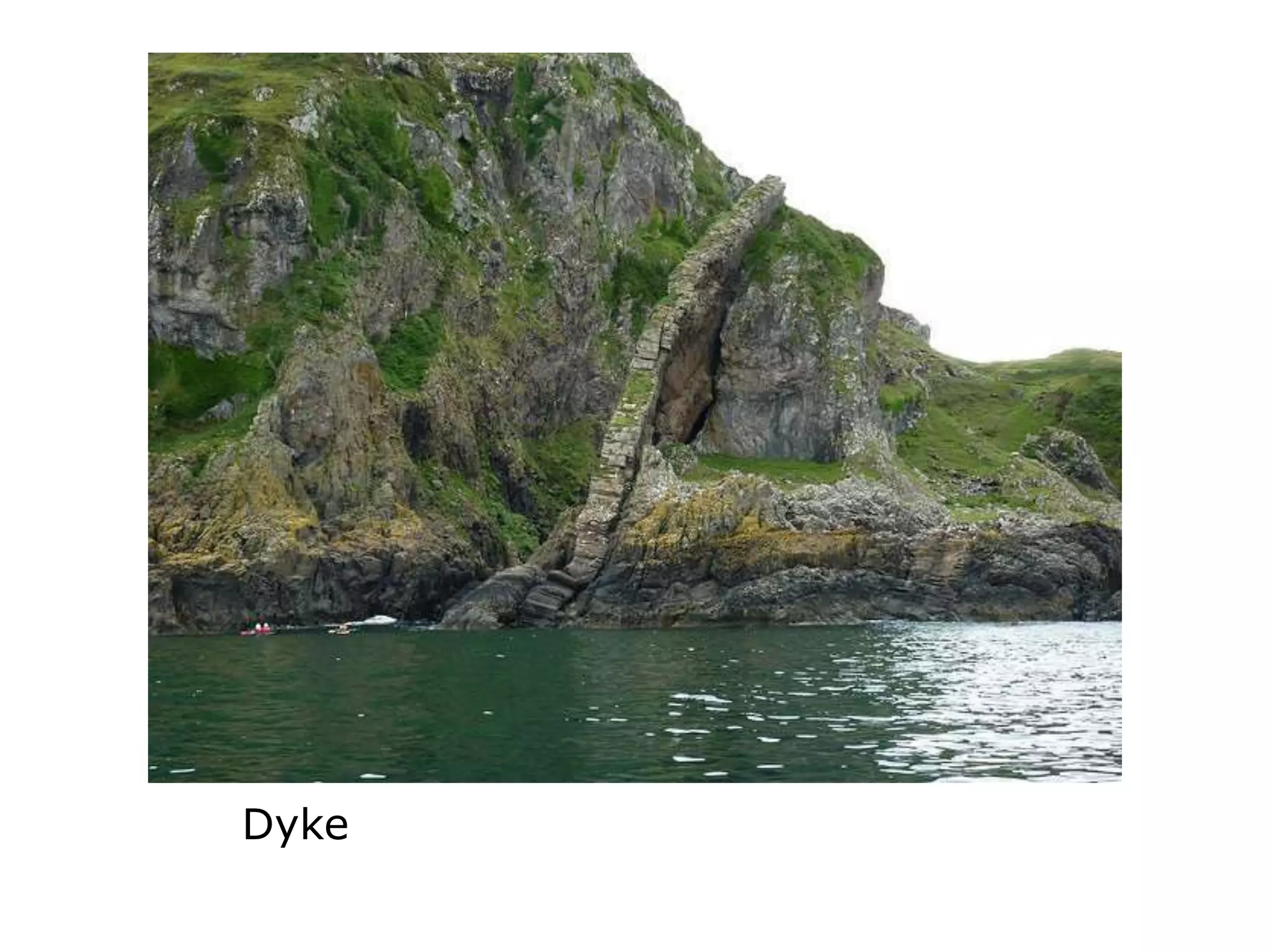
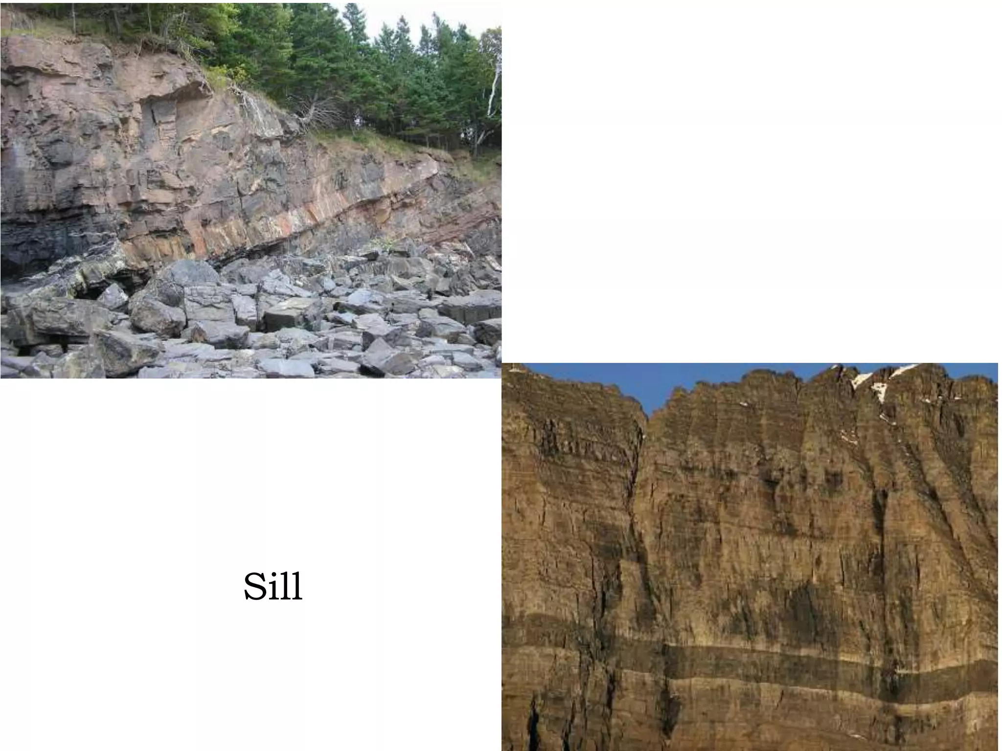
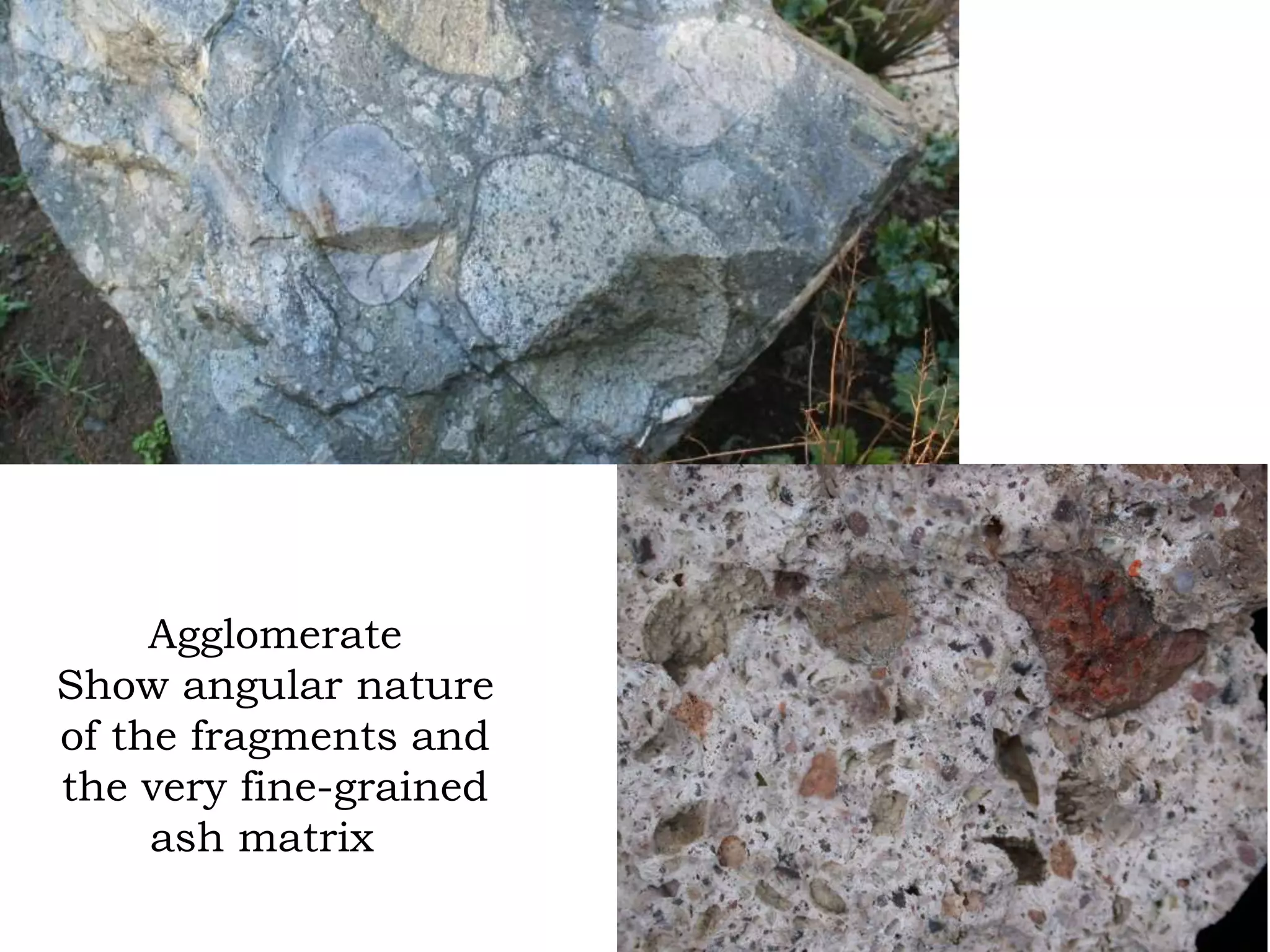


The document discusses primary structures in structural geology, focusing on sedimentary and igneous rocks. It details various types of primary structures such as bedding, lamination, cross-bedding, and grading in sedimentary rocks, as well as features like sand dunes and ripple marks. Additionally, it covers igneous structures including dykes and sills, highlighting their formation and relationship with surrounding rock layers.


