Download to read offline
![Other cases
● Portale Cartografico Nazionale
– License no commercial
● Cities:
– Bologna, Firenze, Forlí, Merano, Pavia, Schio, Storo, Trento, Vicenza
[…]
● ISTAT
– Atlas of statistical and administrative geography](https://image.slidesharecdn.com/disaster20arewereadynapolitano-120507171950-phpapp02/85/Open-Geo-Data-in-Italy-and-the-OpenStreetMap-case-6-320.jpg)


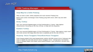
![Projects
Current Past
2012 Mali Crisis 2011 Samoa Cyclone Simulation
Philippines - Storm Ondoy
Ivory Coast
Iran -- Post-Election Crisis
Horn of Africa Famine Gaza
[...]
http://wiki.openstreetmap.org/wiki/Hot#Projects](https://image.slidesharecdn.com/disaster20arewereadynapolitano-120507171950-phpapp02/85/Open-Geo-Data-in-Italy-and-the-OpenStreetMap-case-36-320.jpg)


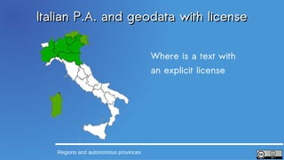
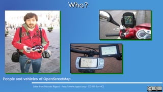
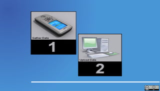
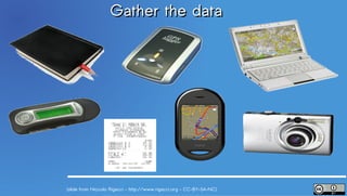
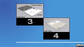
1) OpenStreetMap is being used as a catalyst for open geo data in Italy, with a growing community of mappers and supporters. 2) OSM allows people to collaboratively collect and map geographic data for the entire planet, helping with disaster response and humanitarian efforts. 3) While some Italian public agencies are starting to release open geo data, many still have restrictions, in contrast to OSM which uses an open license model.


![5G Explained! A High Level Overview [Introduction]](https://cdn.slidesharecdn.com/ss_thumbnails/5gexplainedahighleveloverview-260119165306-cc137a3e-thumbnail.jpg?width=640&height=640&fit=bounds)


