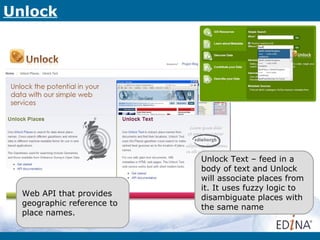
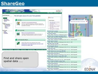
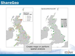
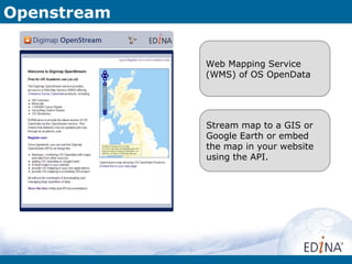
Download to read offline
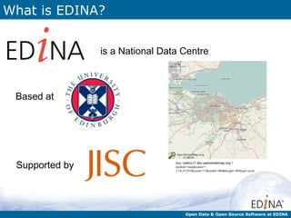
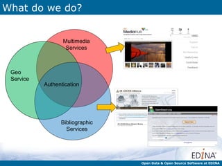

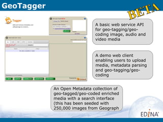
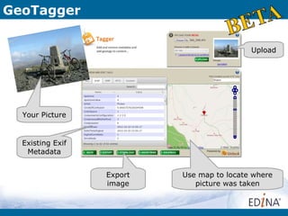
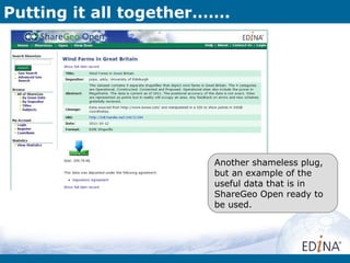
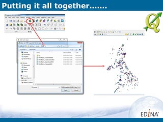
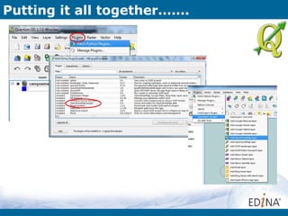
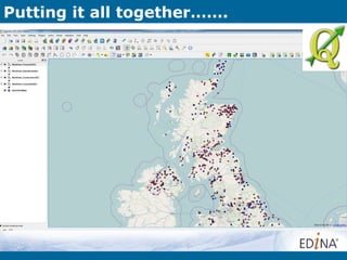


EDINA is a national data center serving the UK education sector, providing open access to various geo-services, datasets, and tools for users to engage with geographic information. The presentation outlines services such as GeoTagger, ShareGeo, and OpenStream, along with examples of projects that leverage open data, like creating interactive maps of wind farms. Additionally, it highlights upcoming geo-events and seminars aimed at promoting awareness and collaboration in geographic information across Scotland.