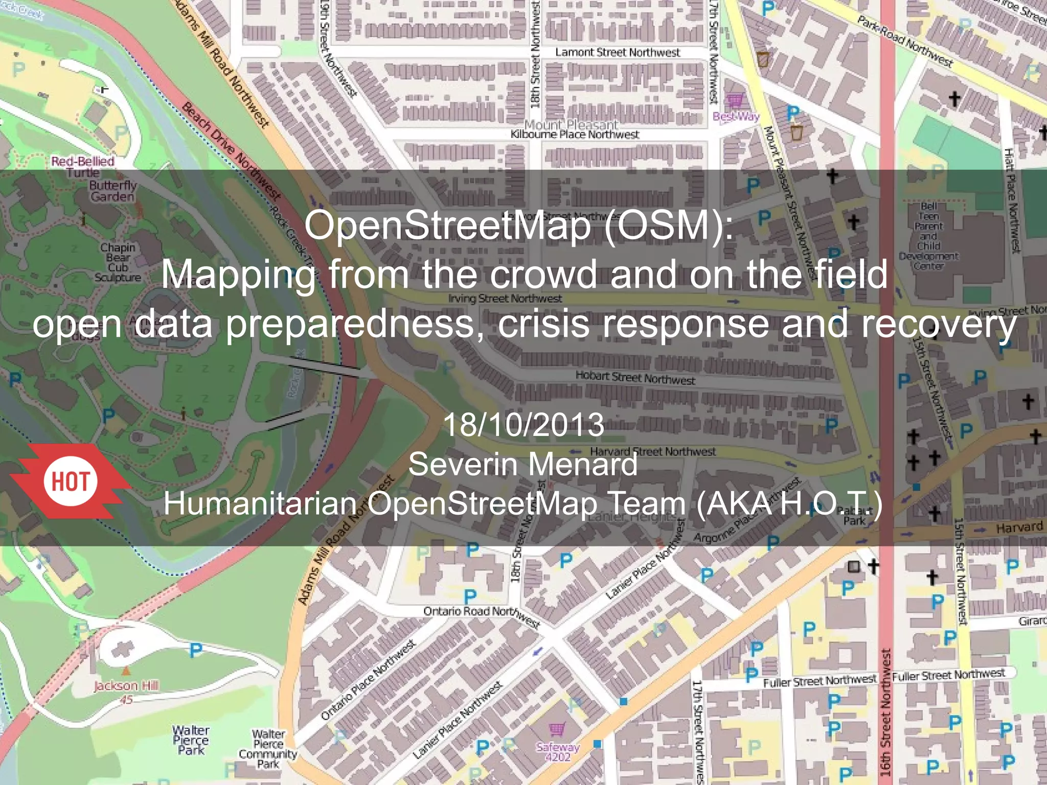
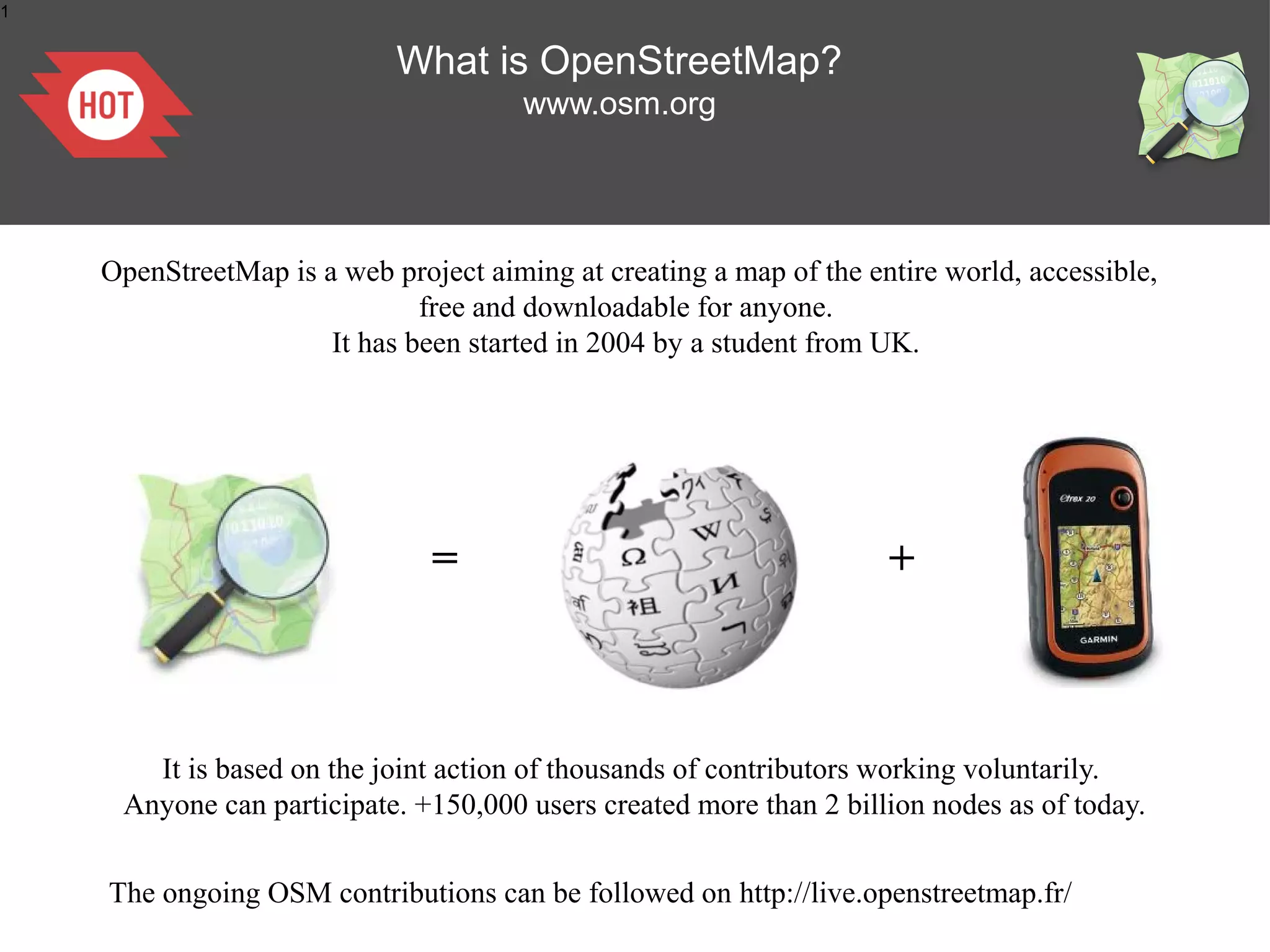
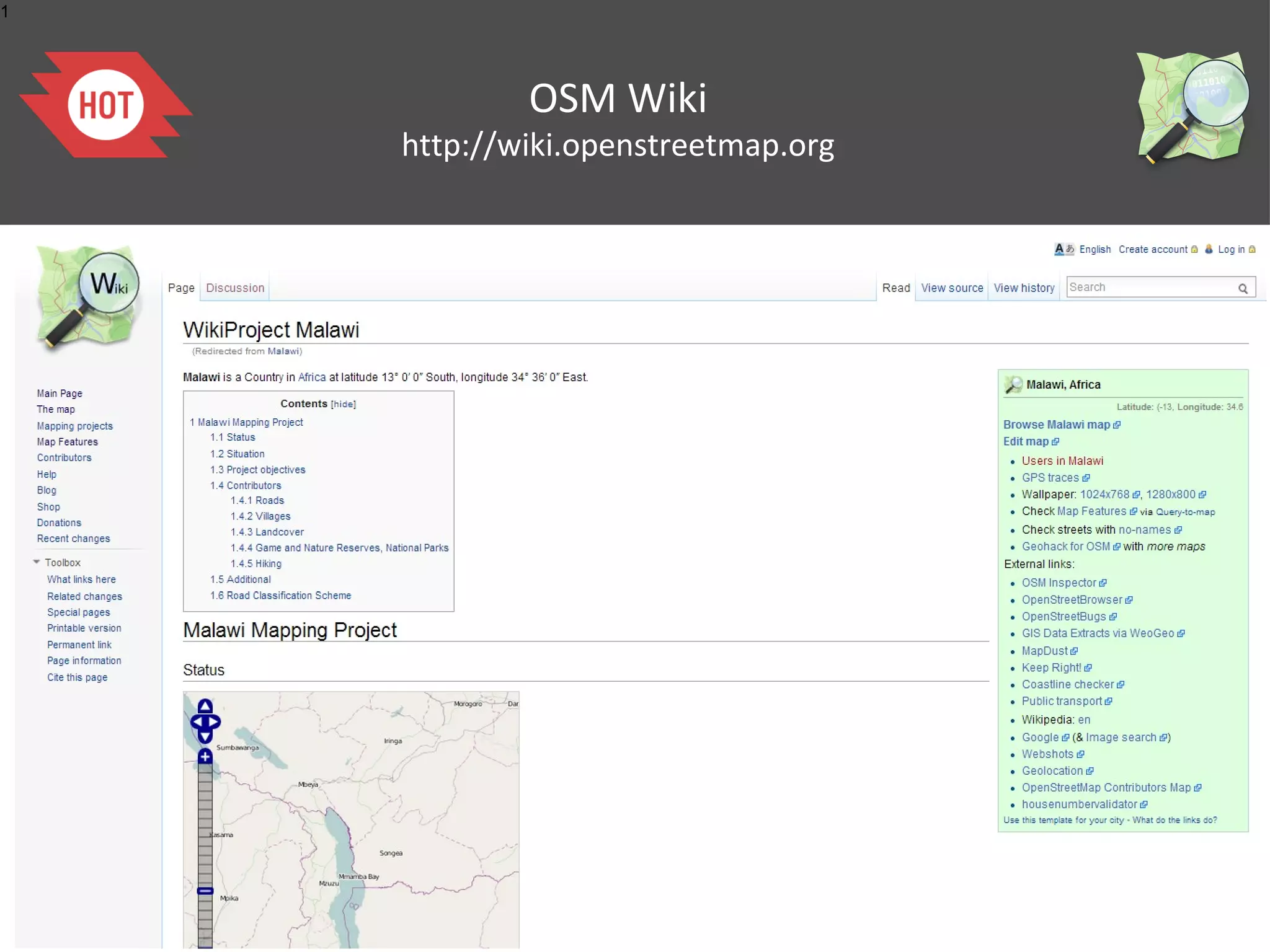
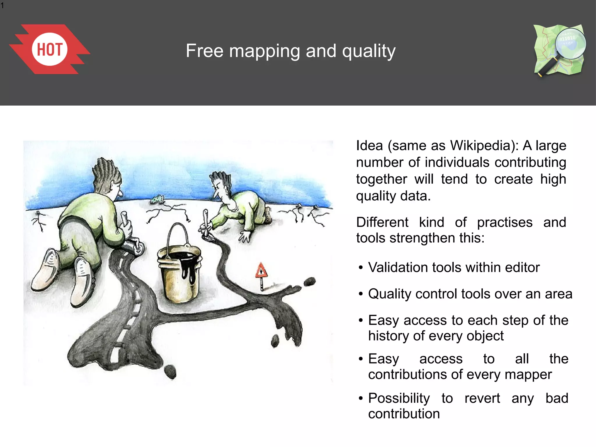
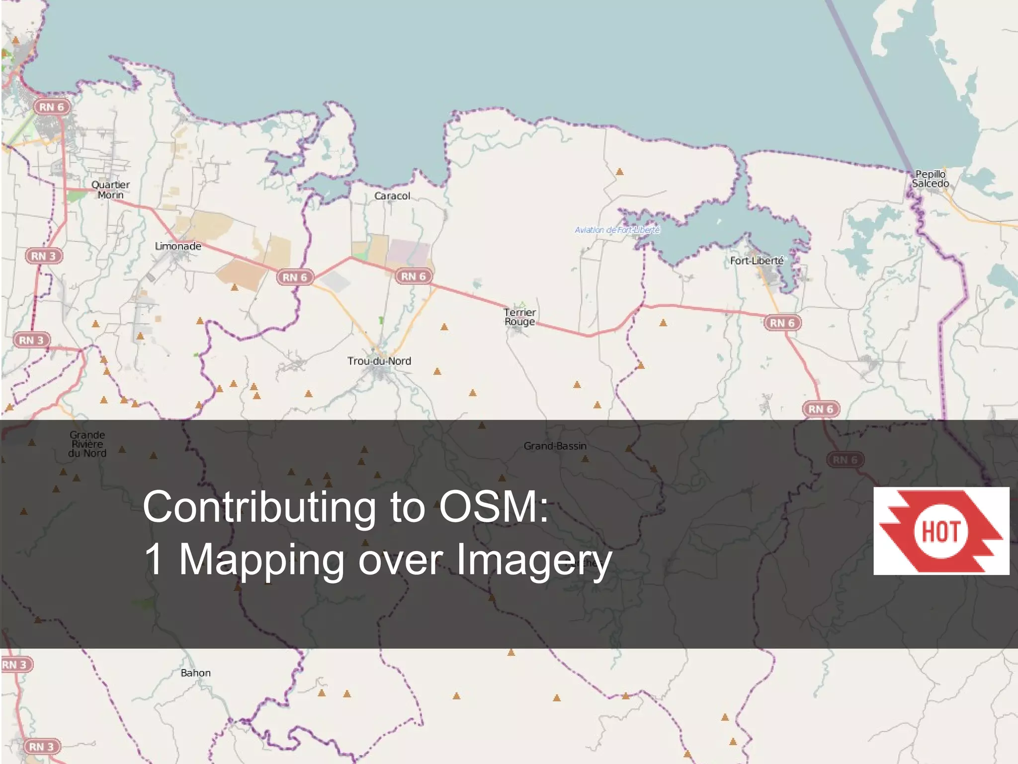
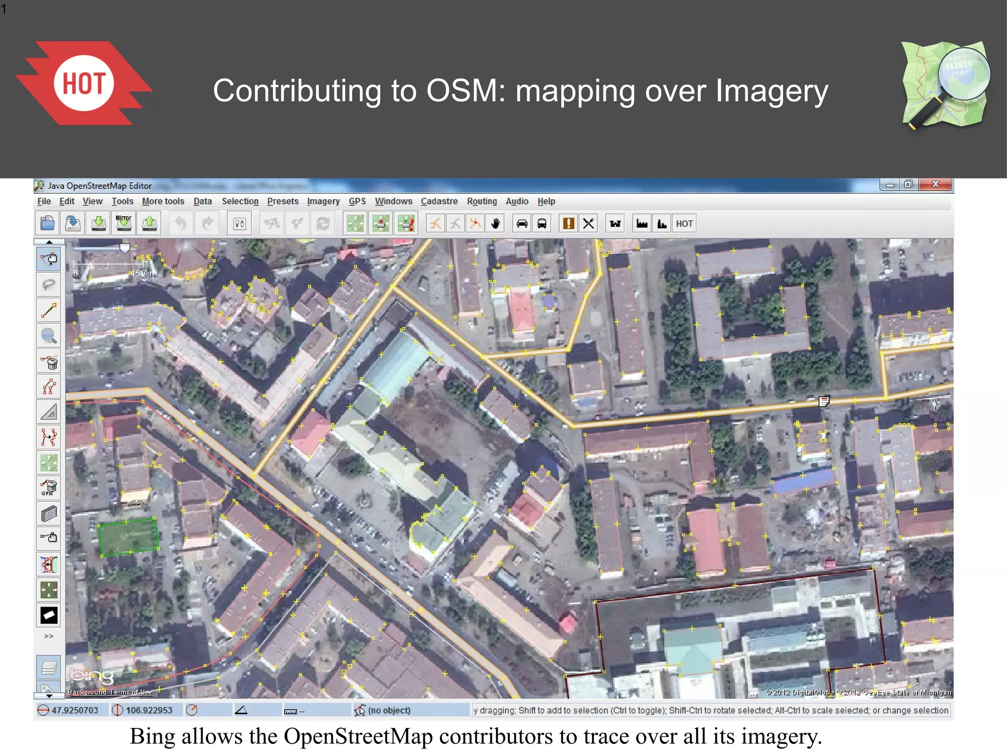
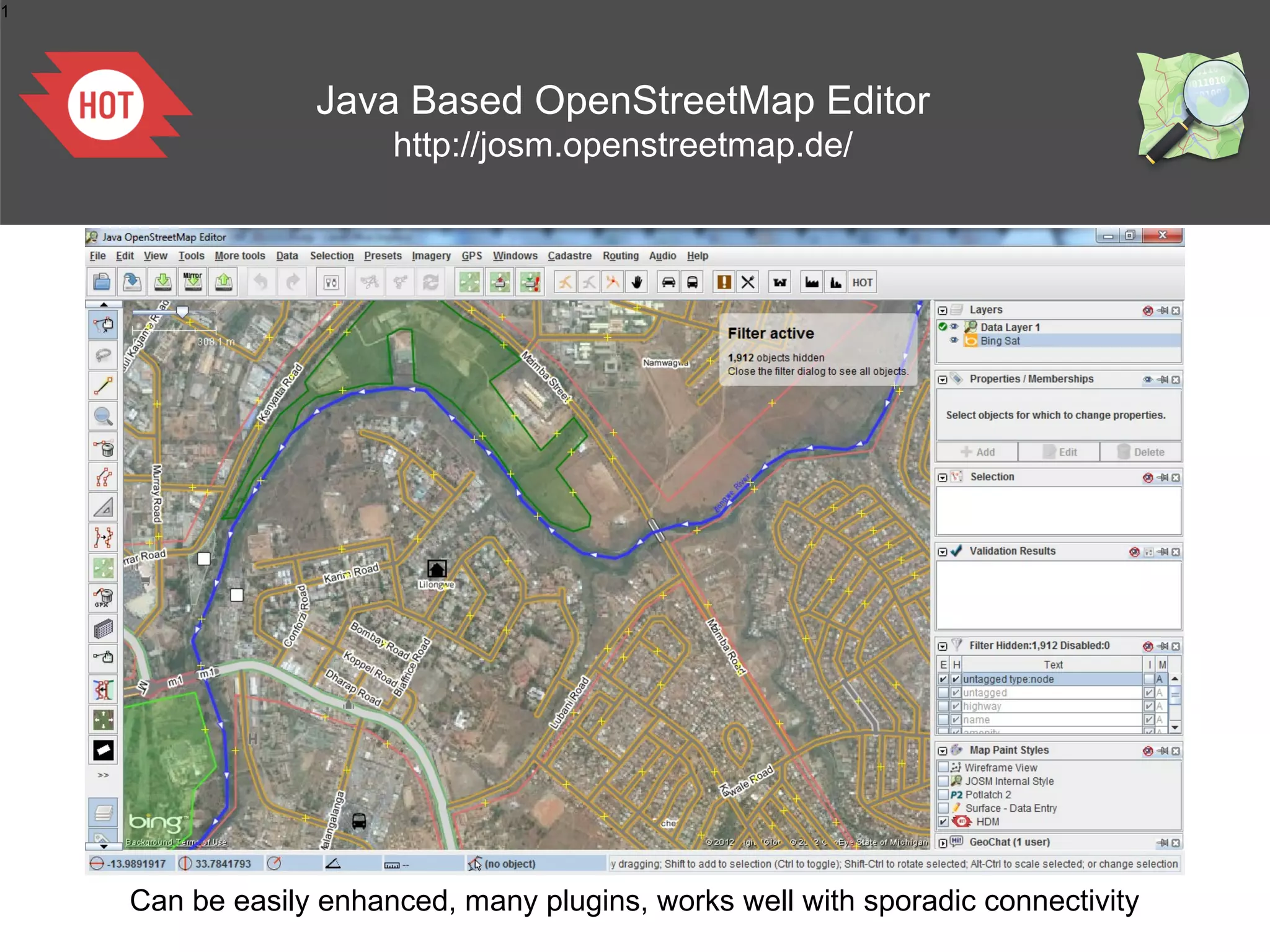
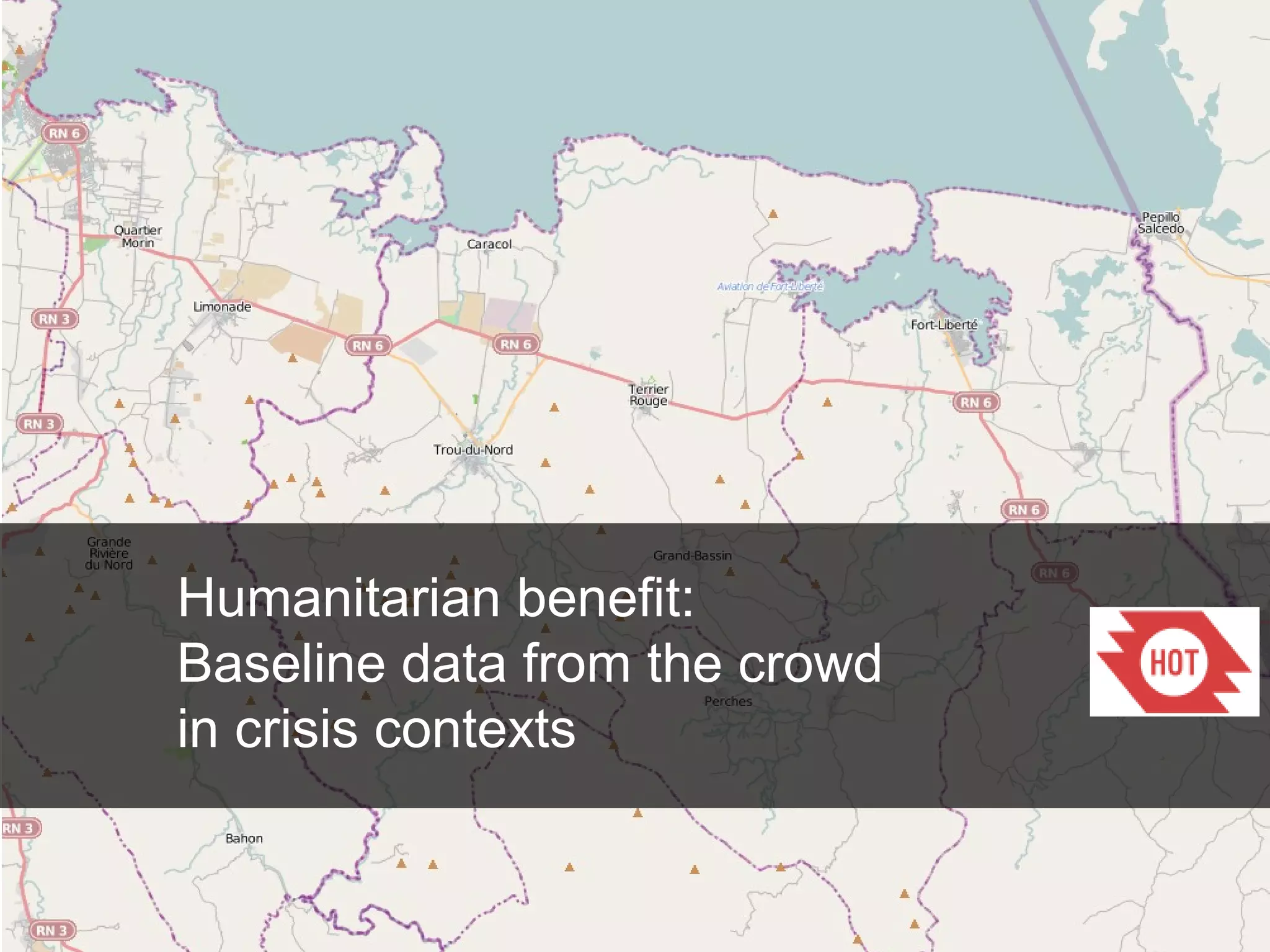
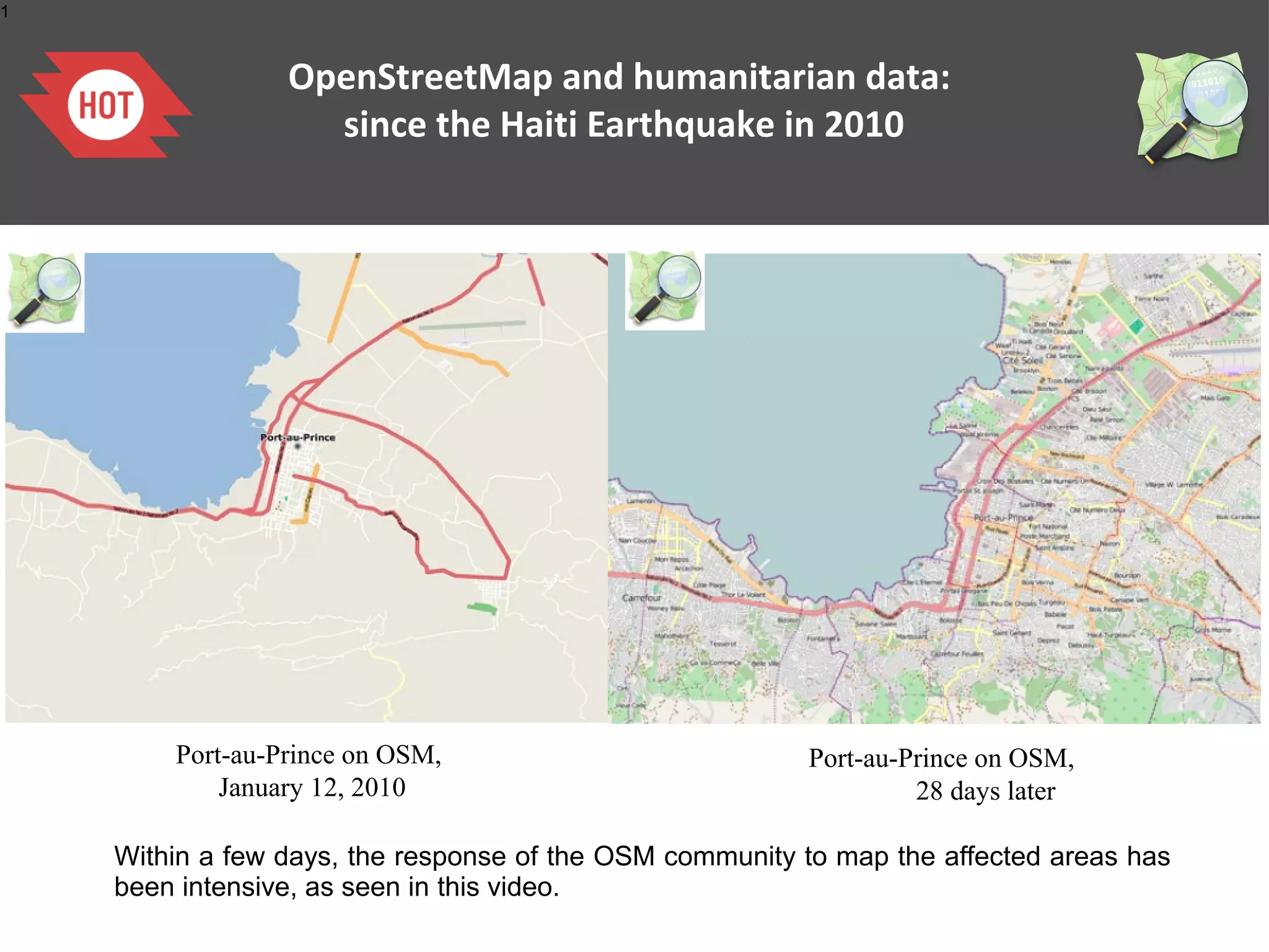
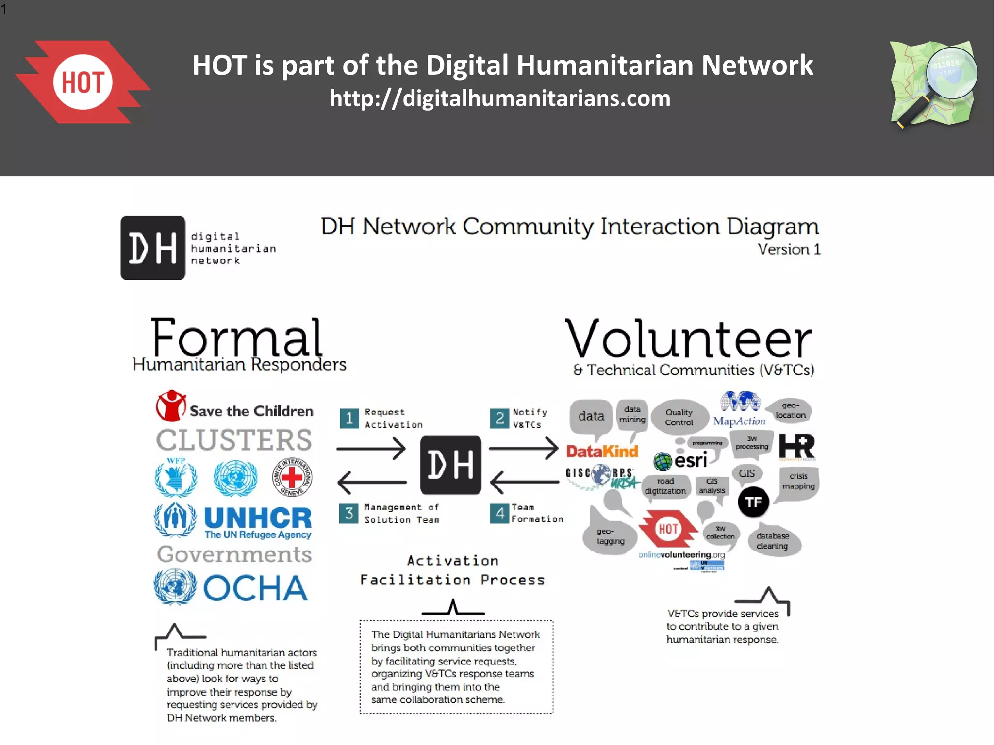
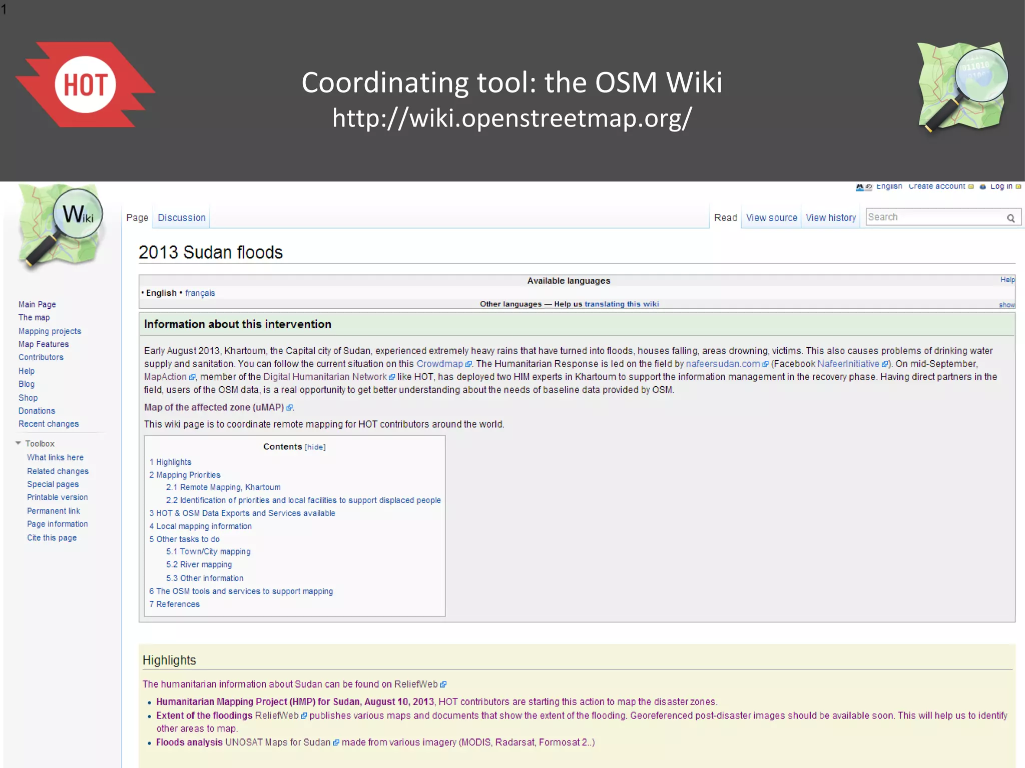
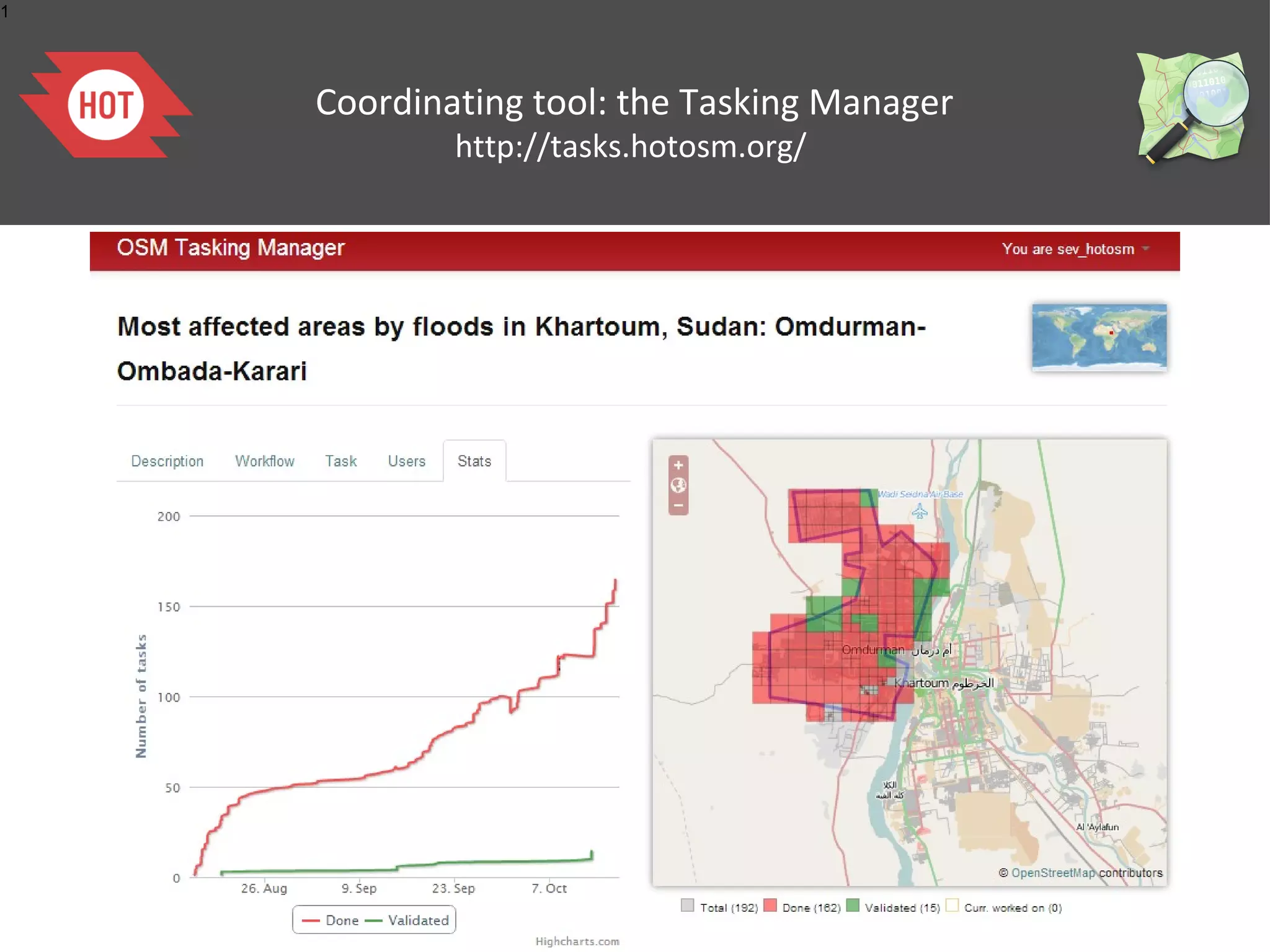
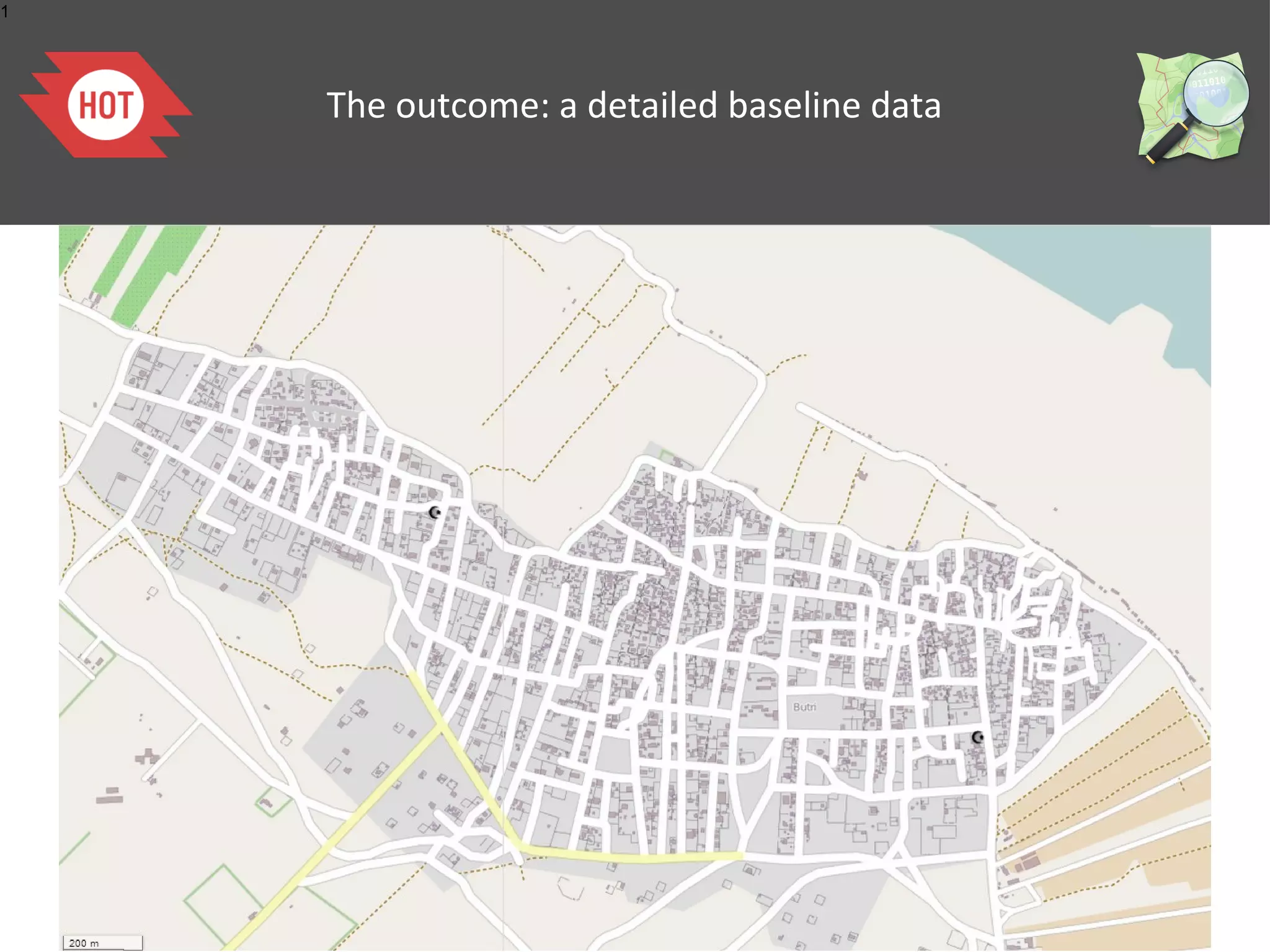
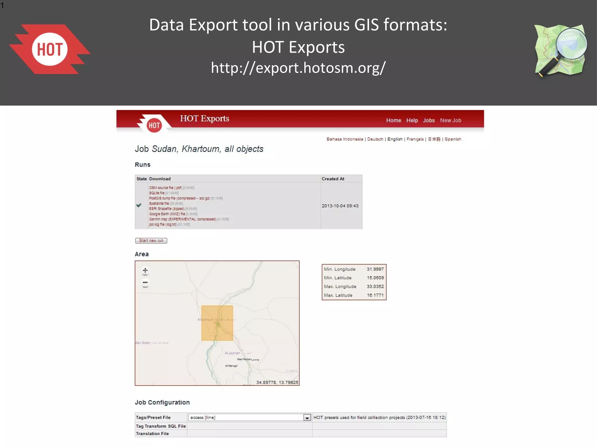
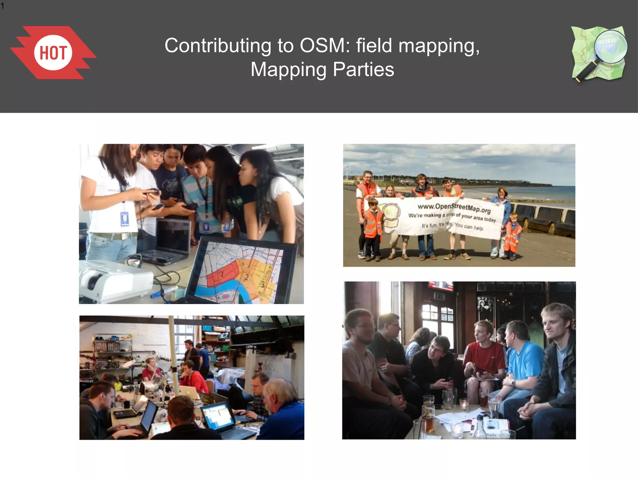
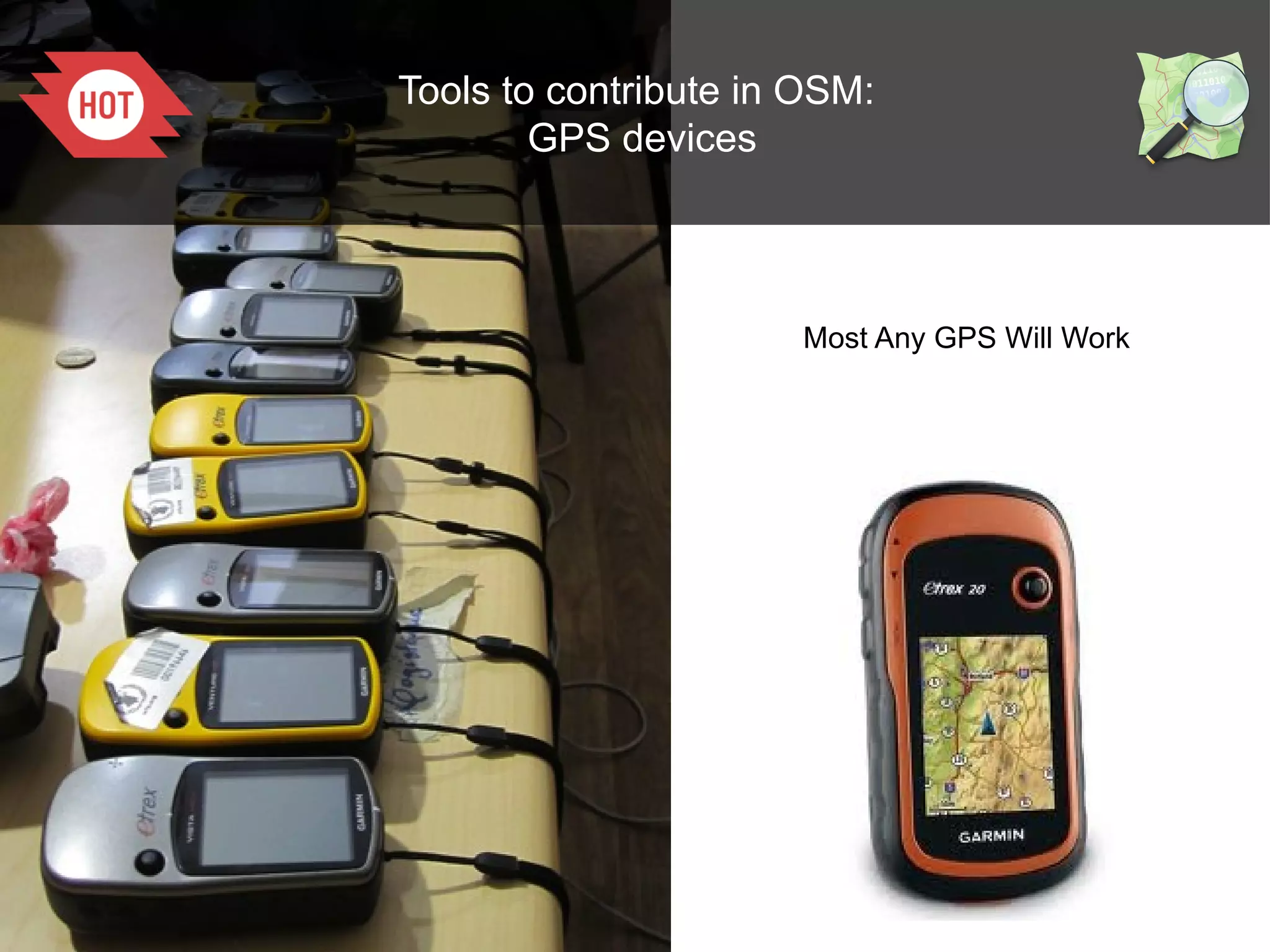
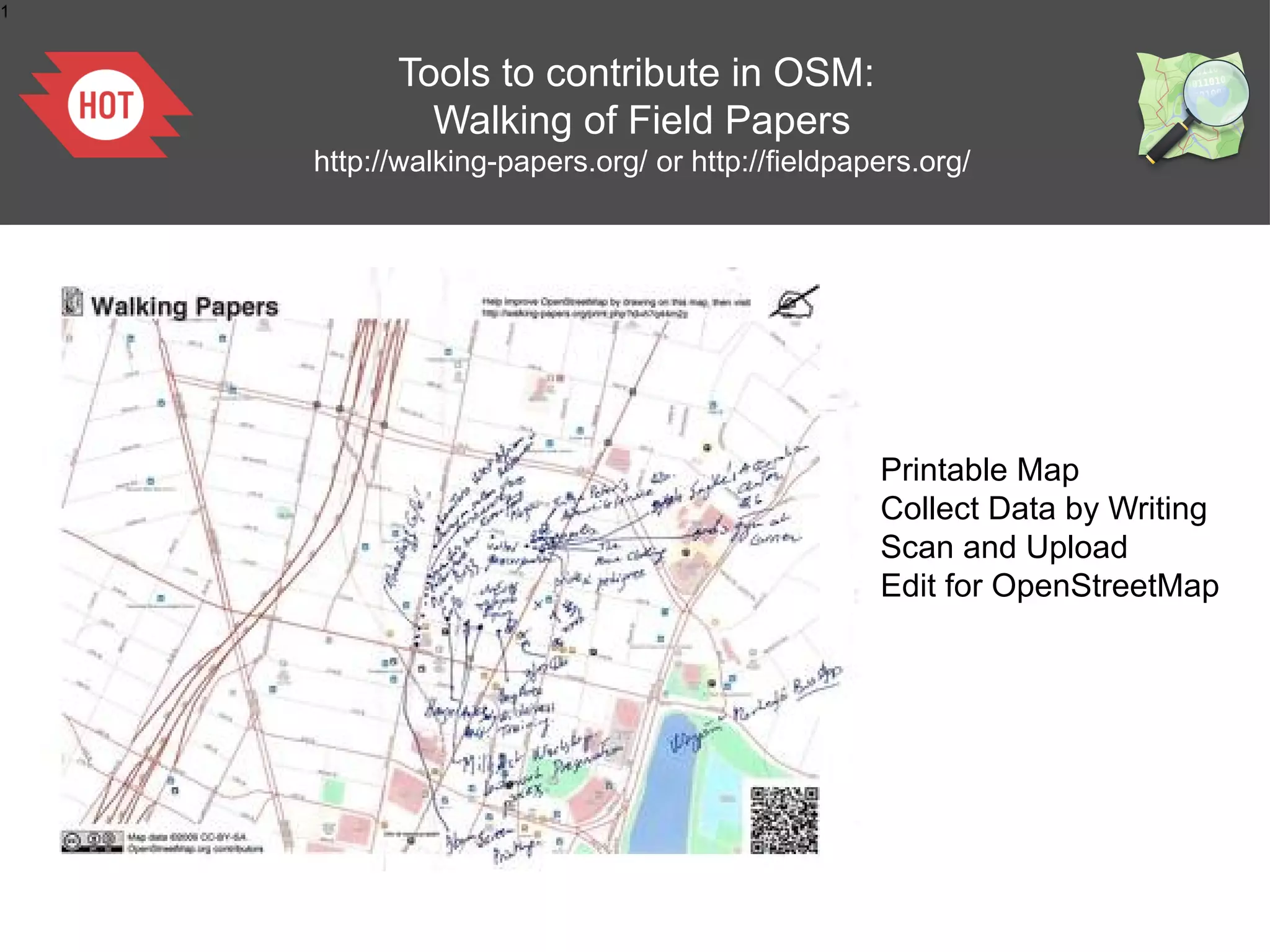
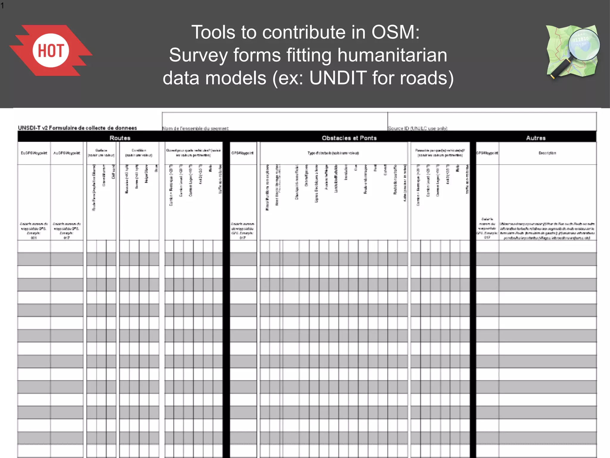
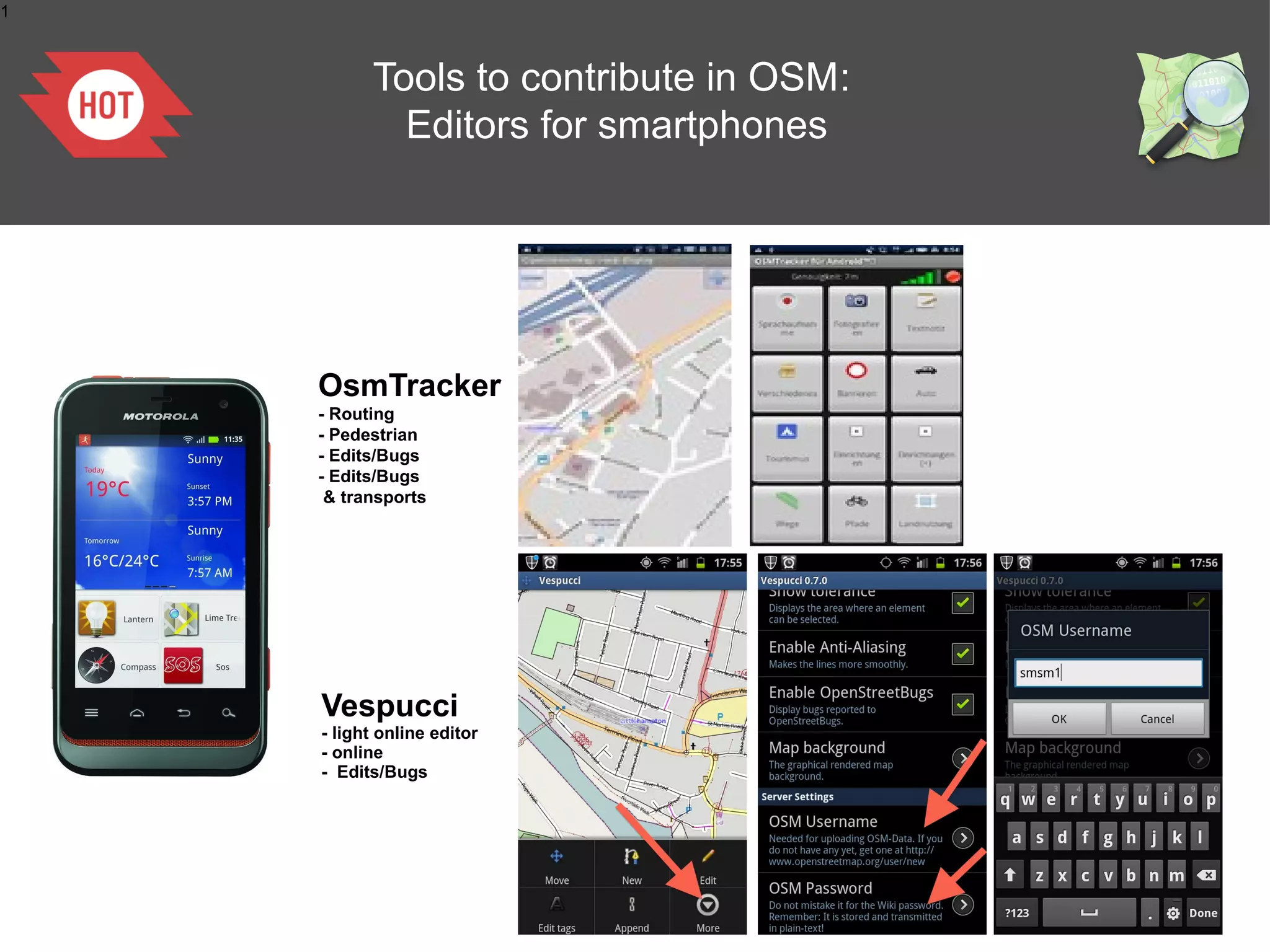
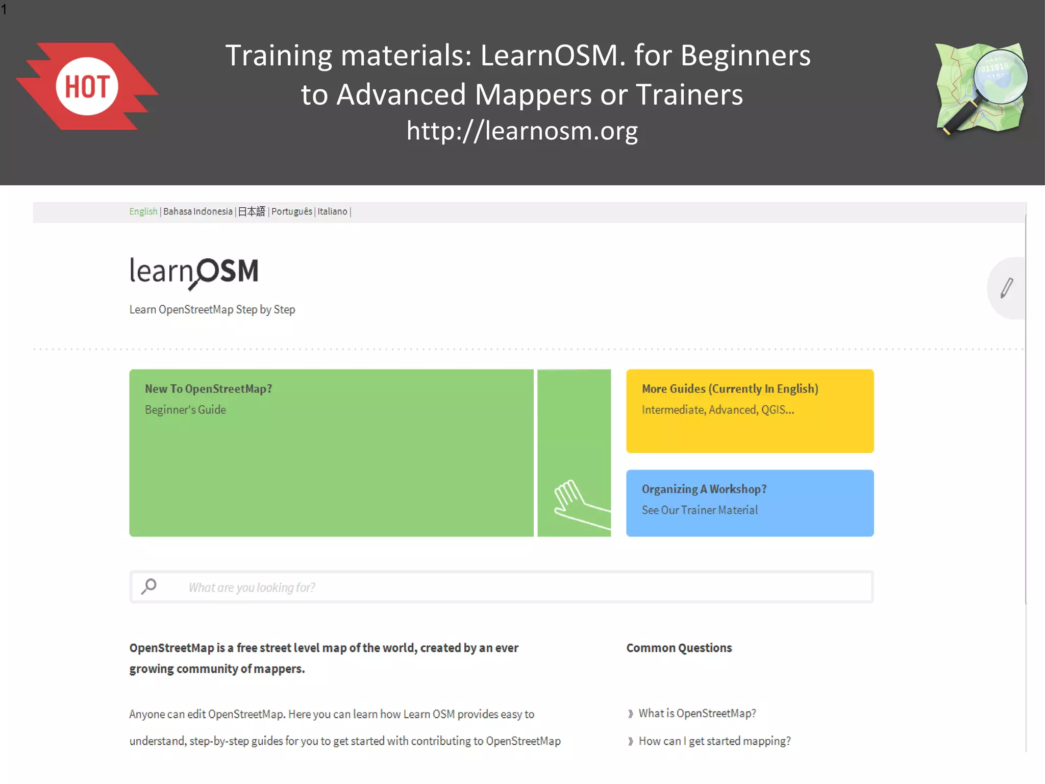
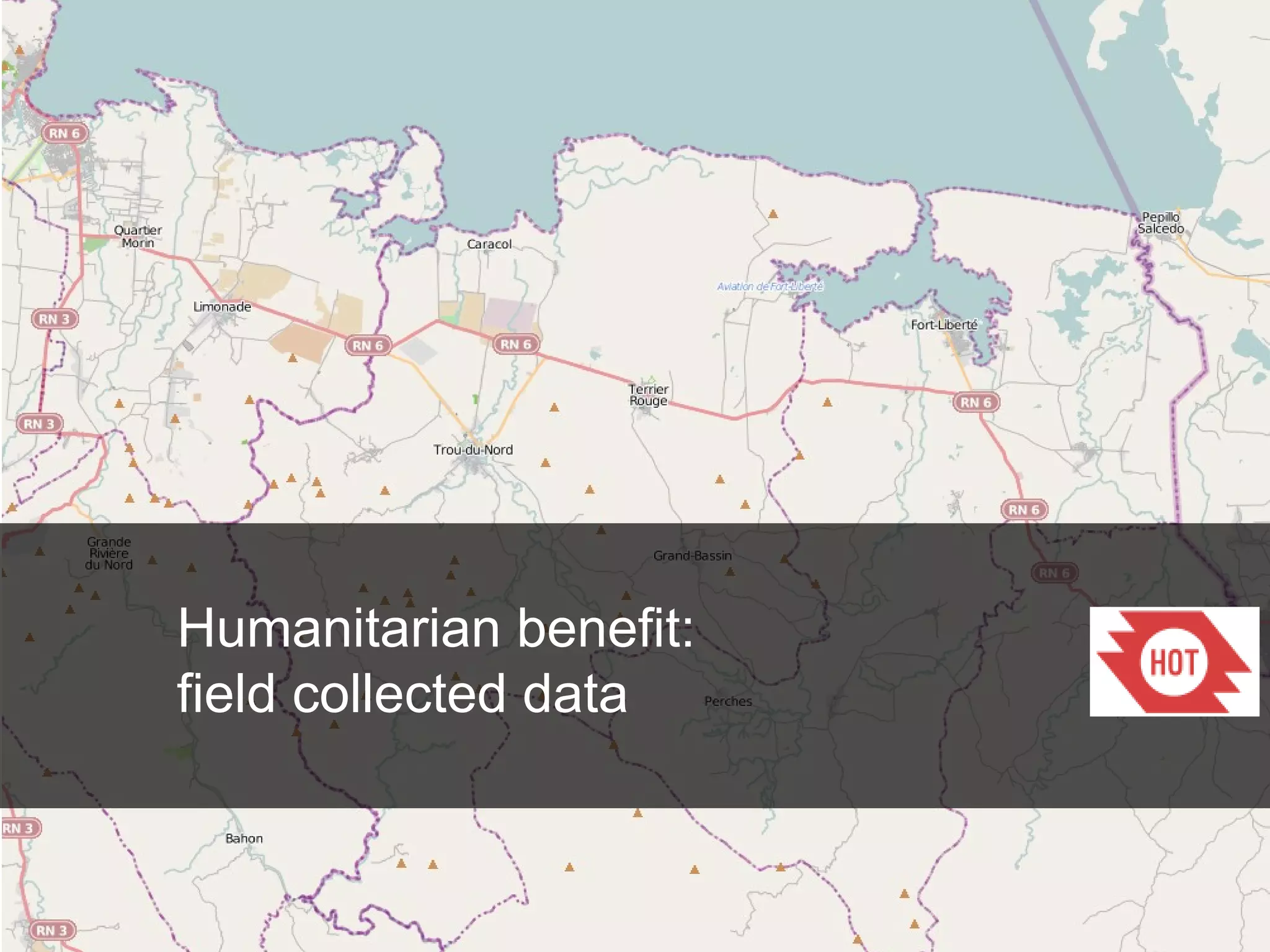
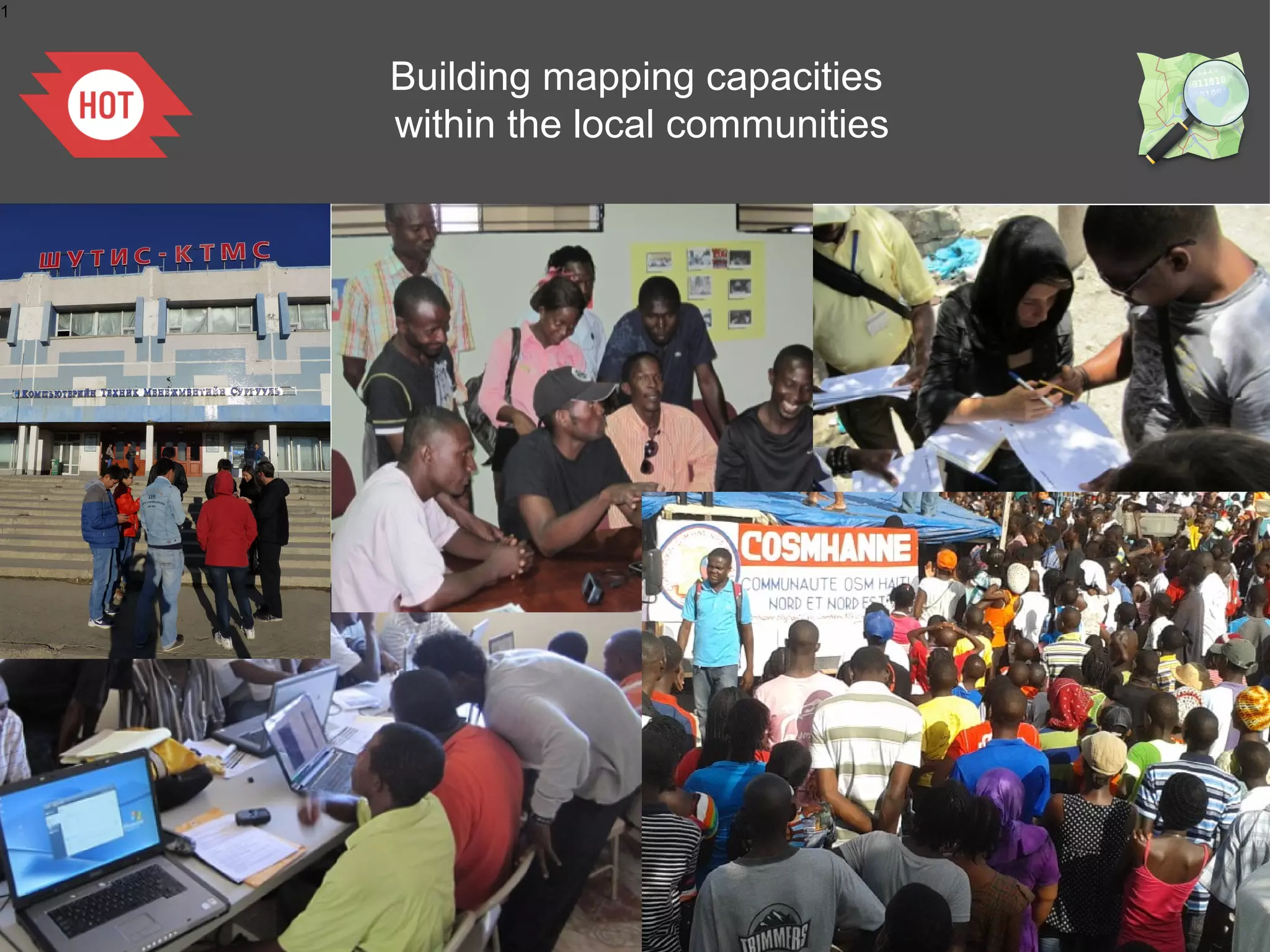
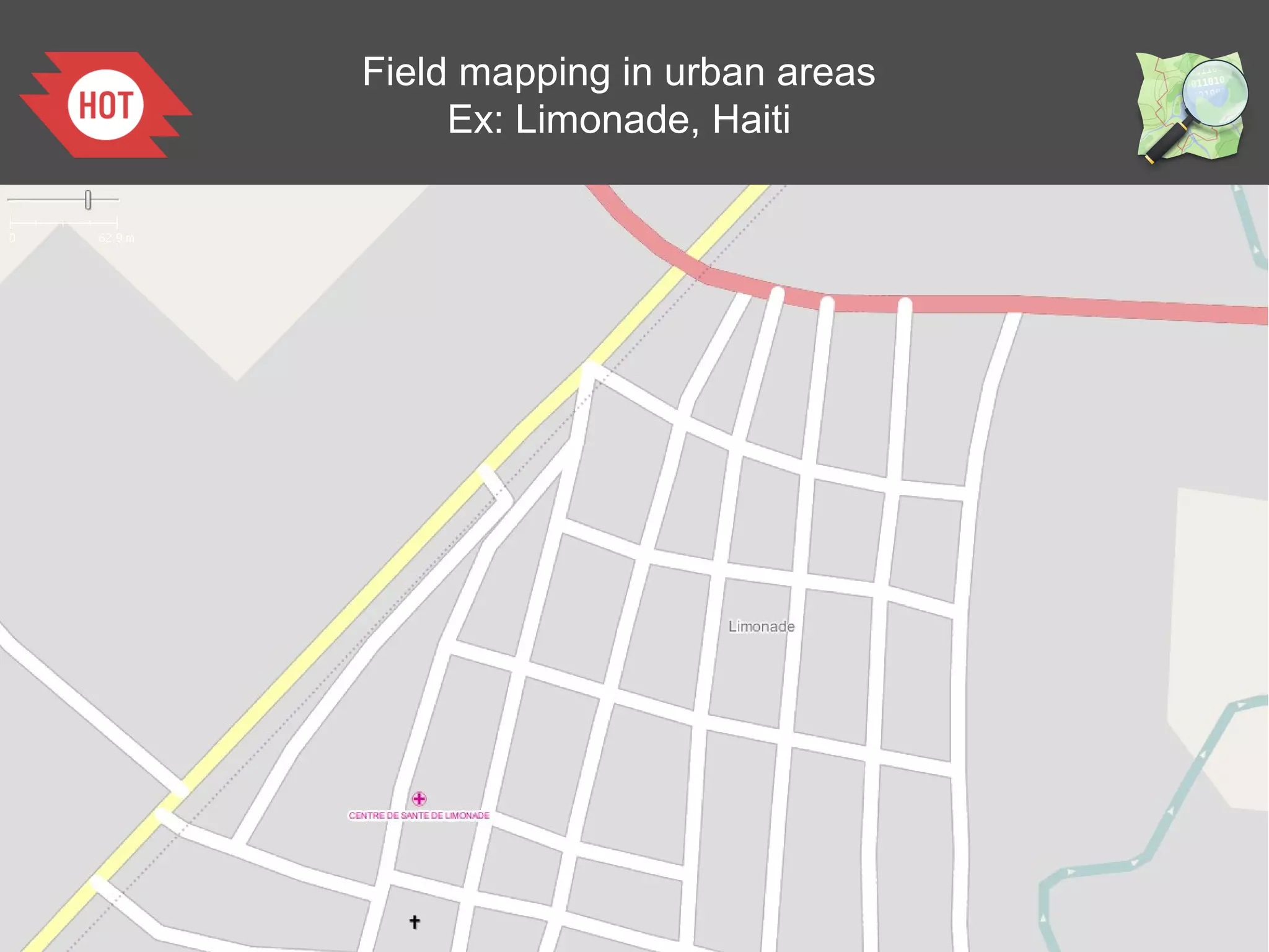
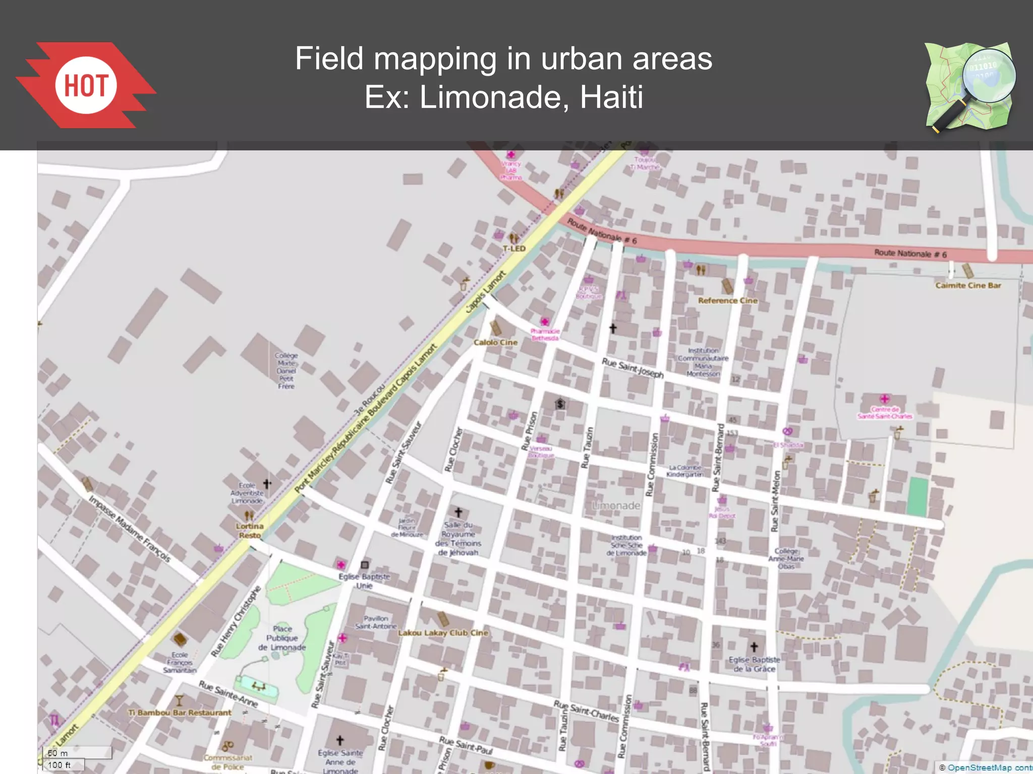
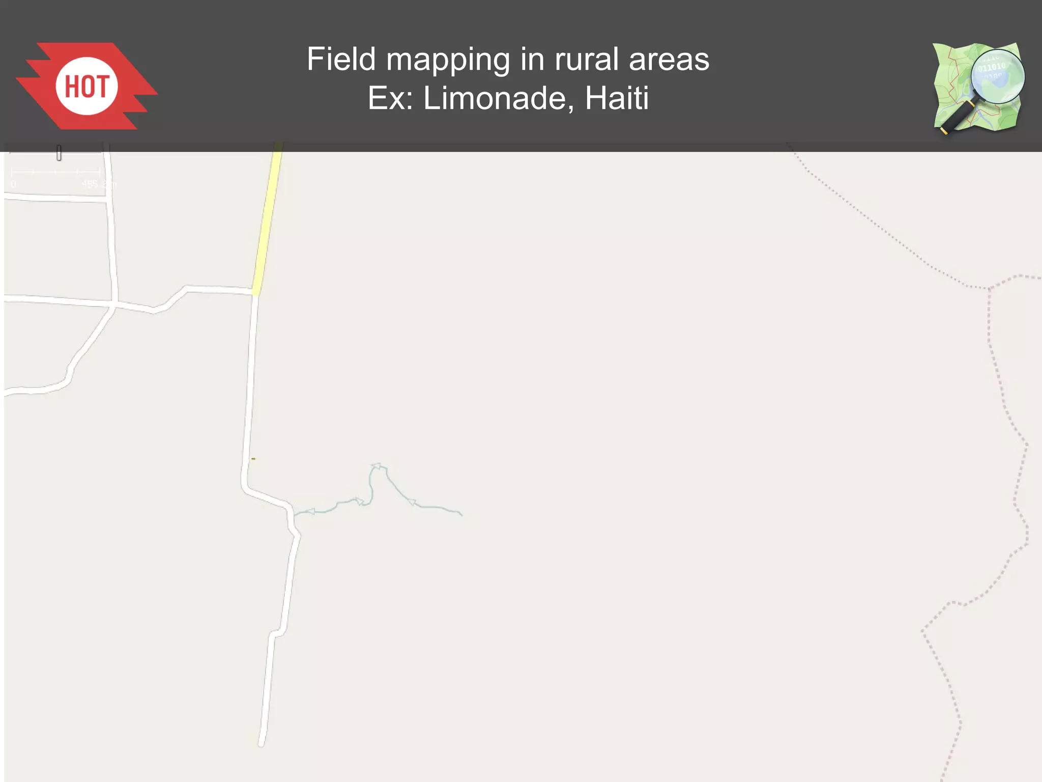
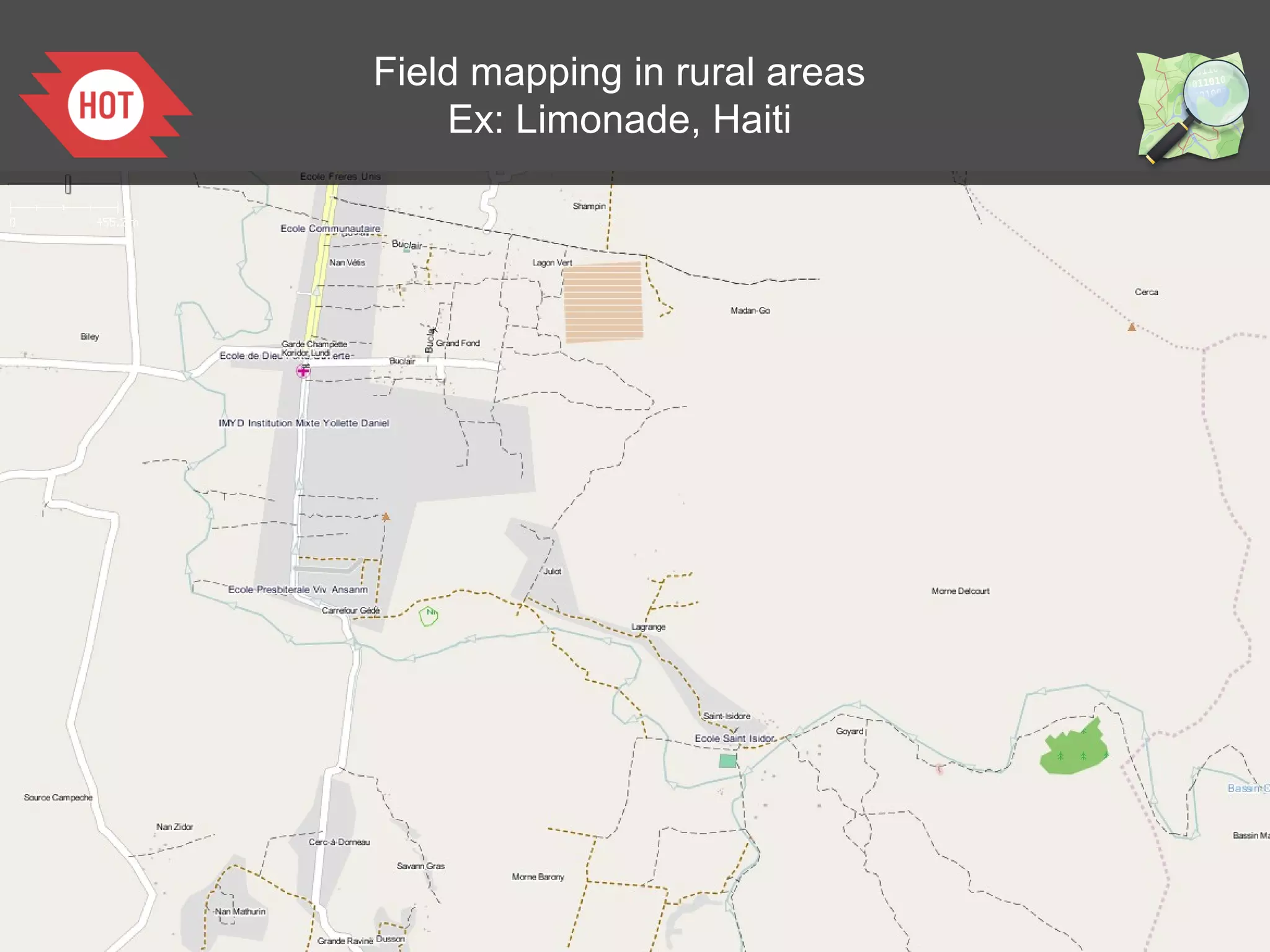
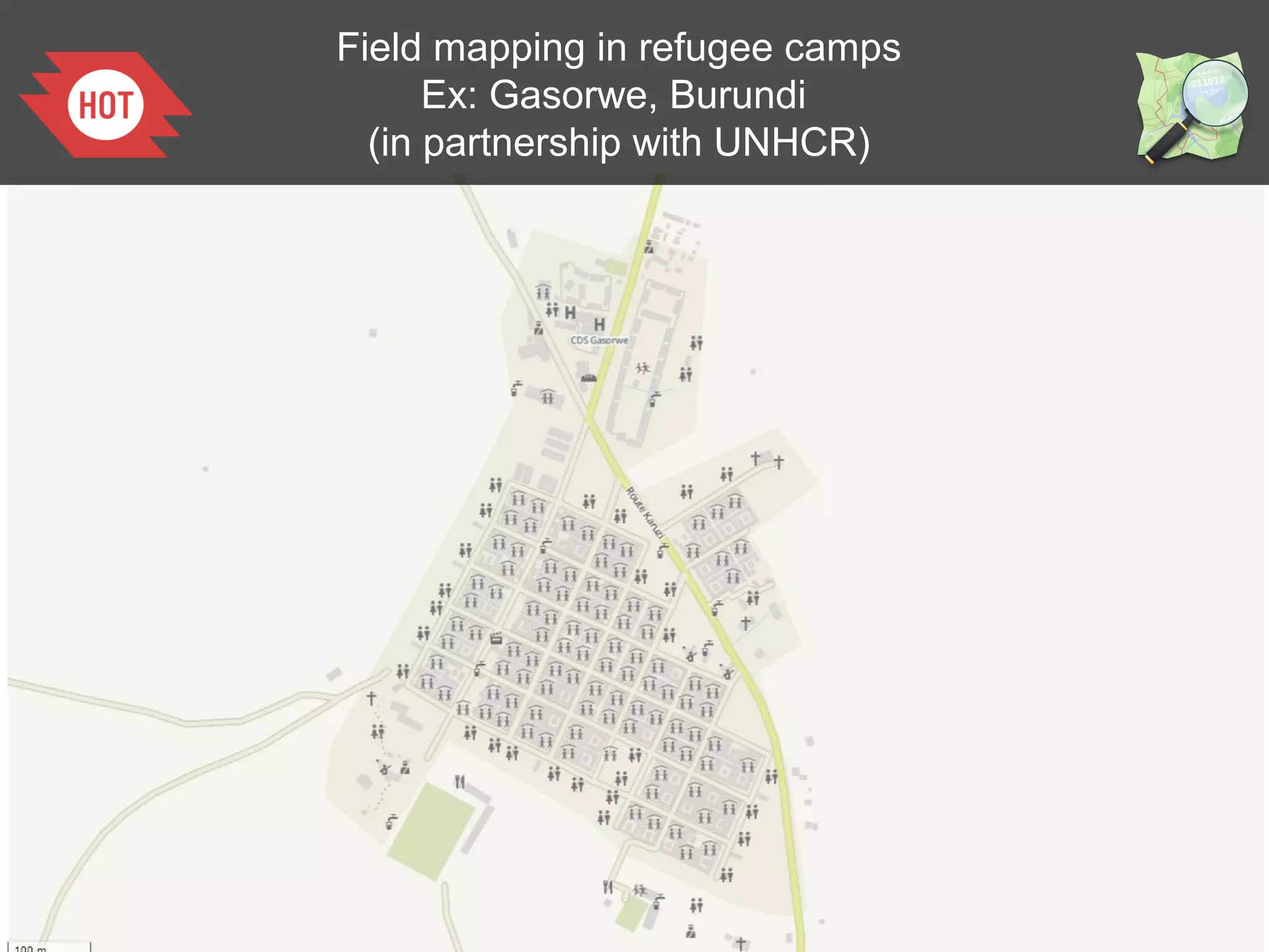
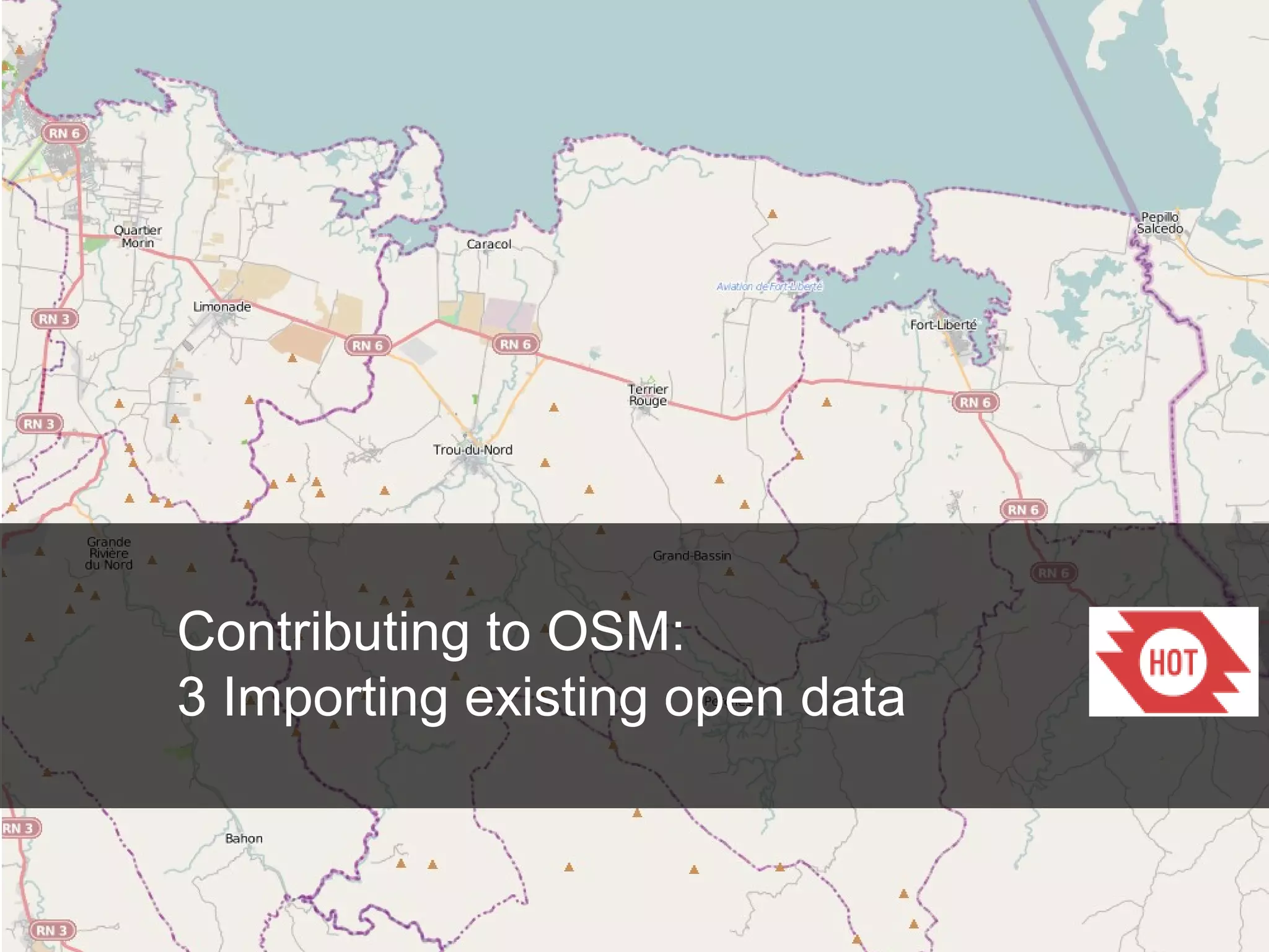
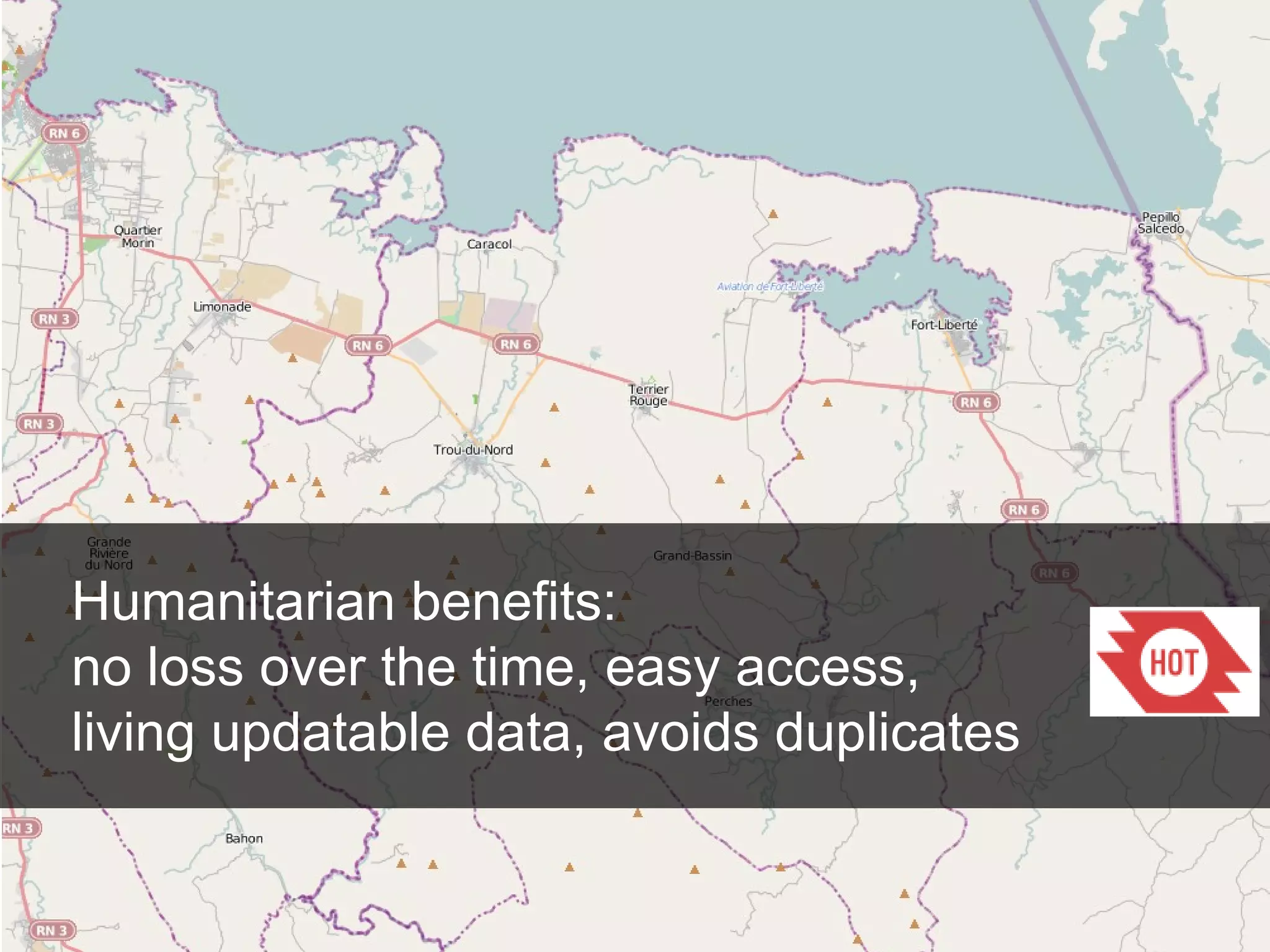
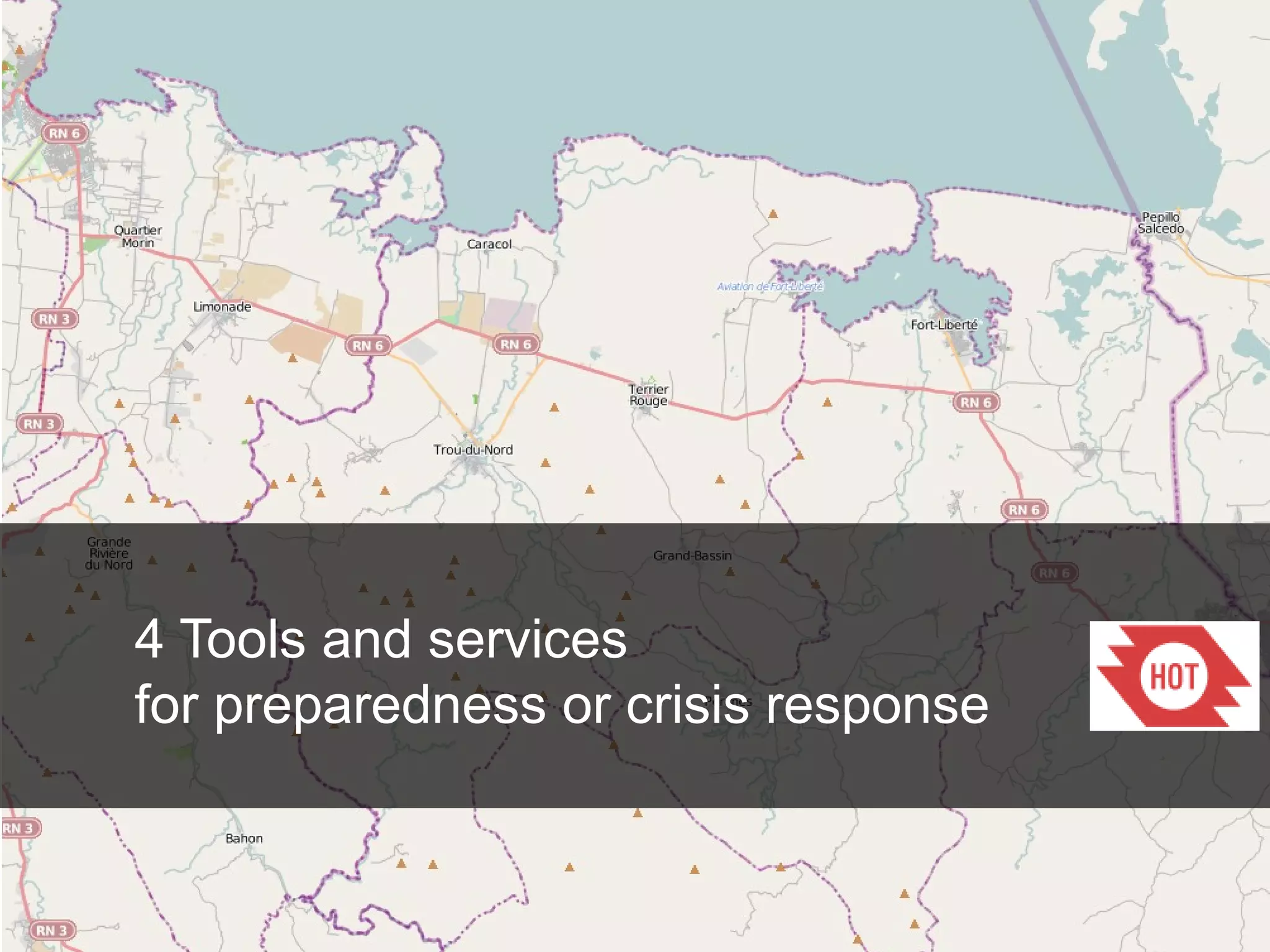
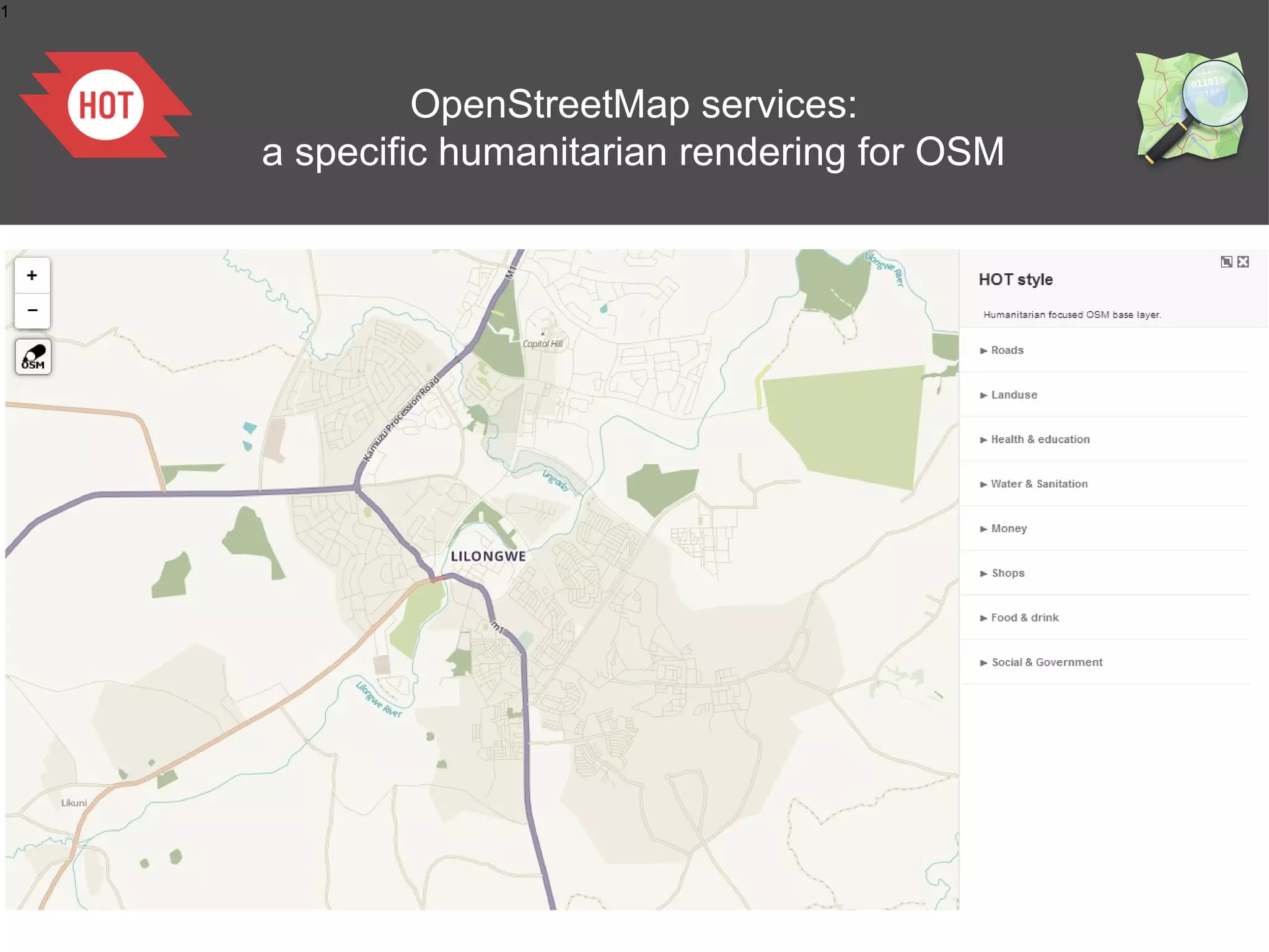
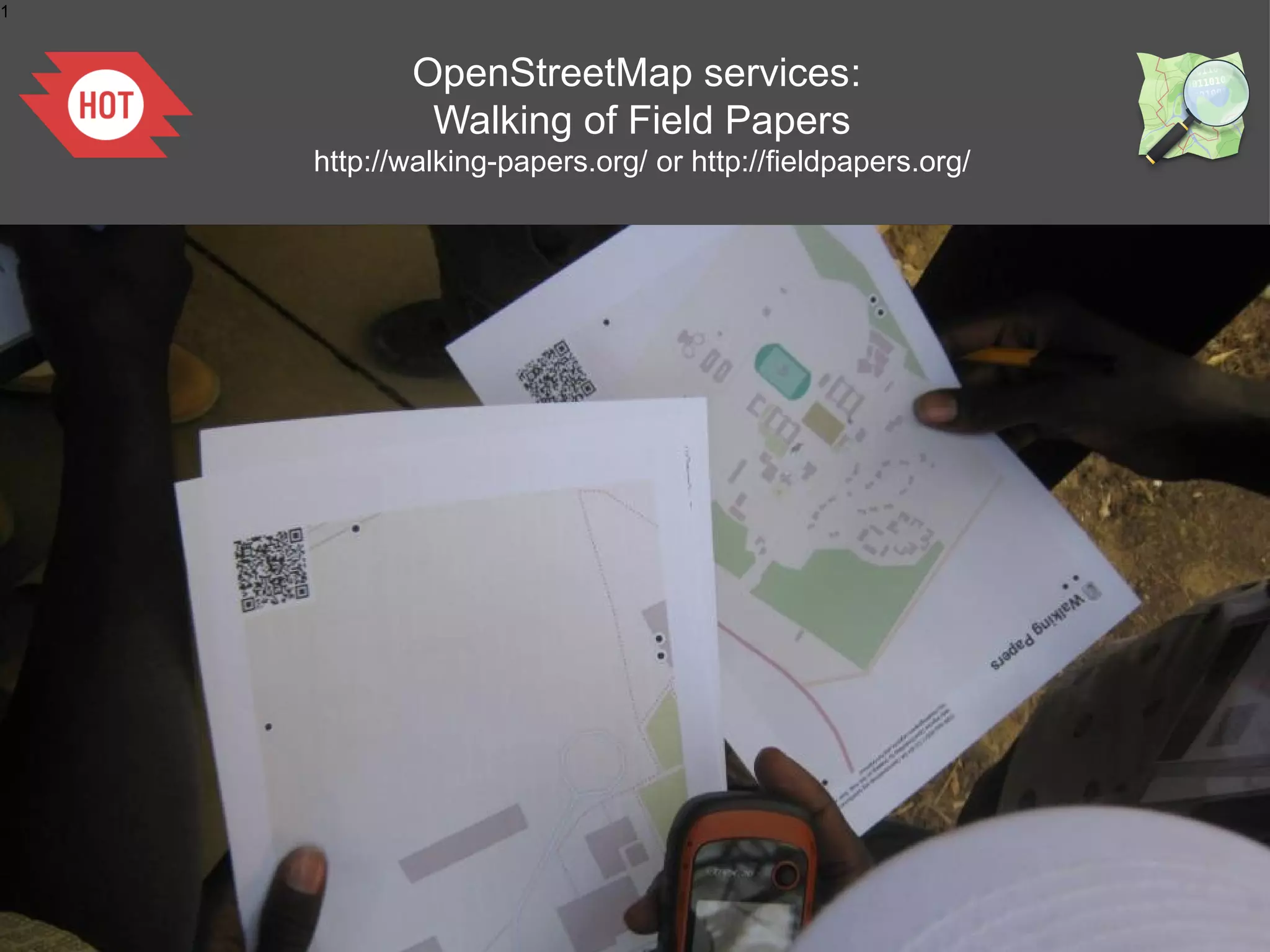
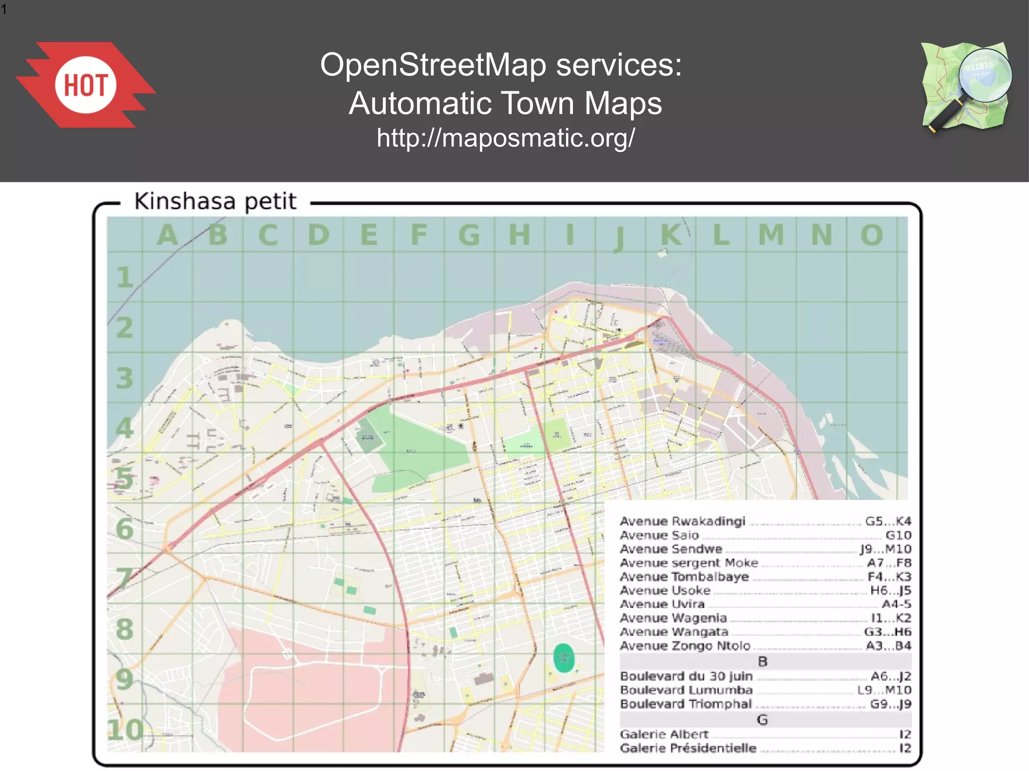
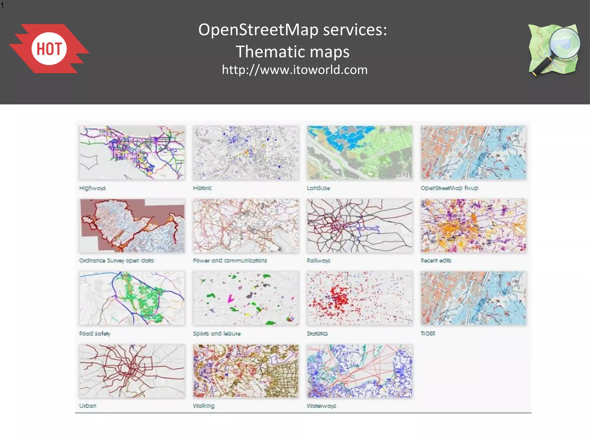
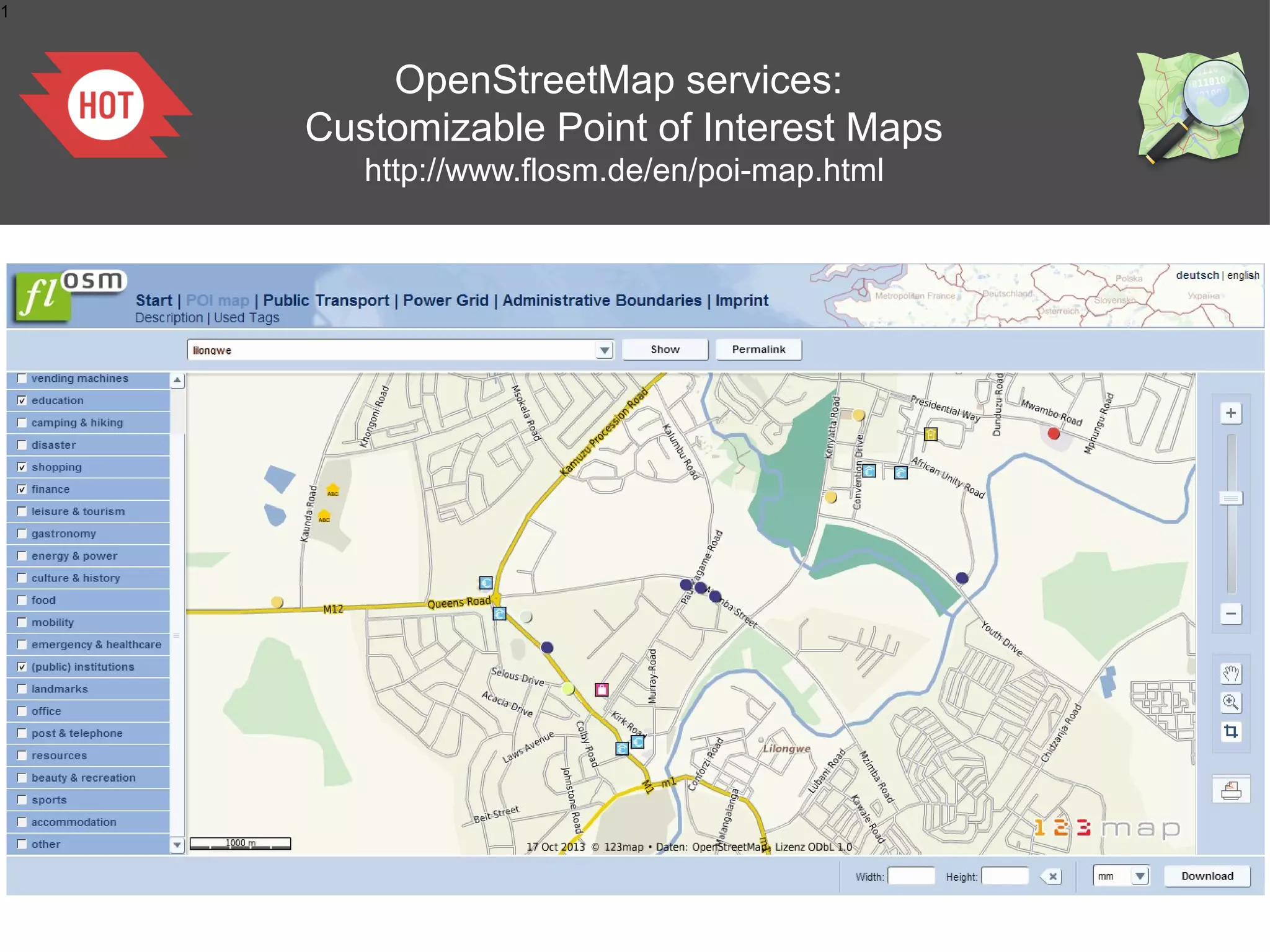
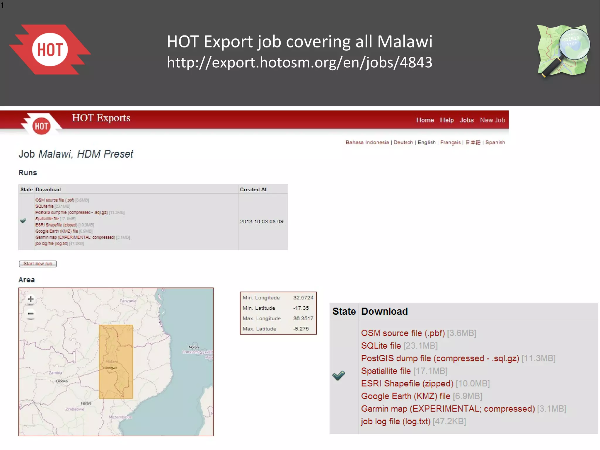
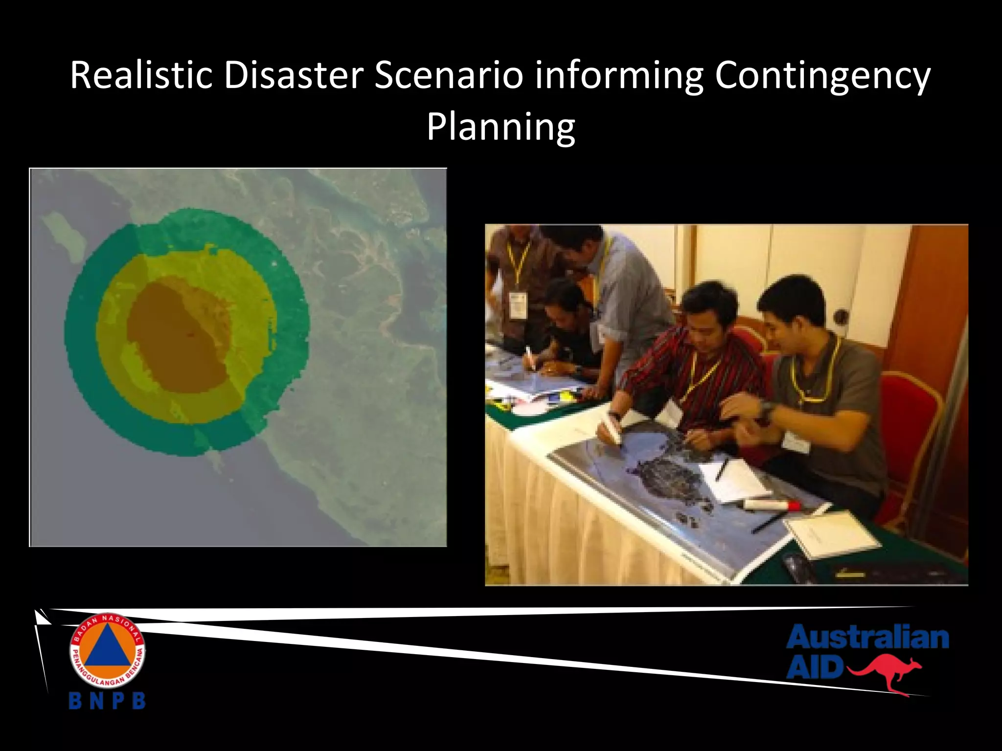
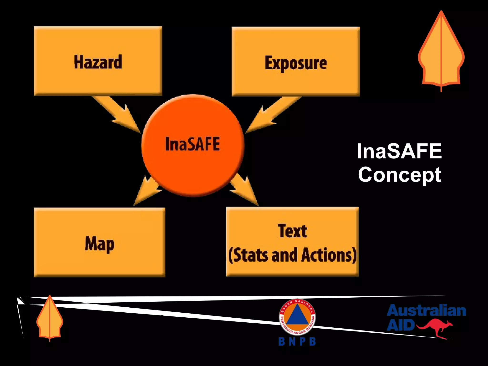
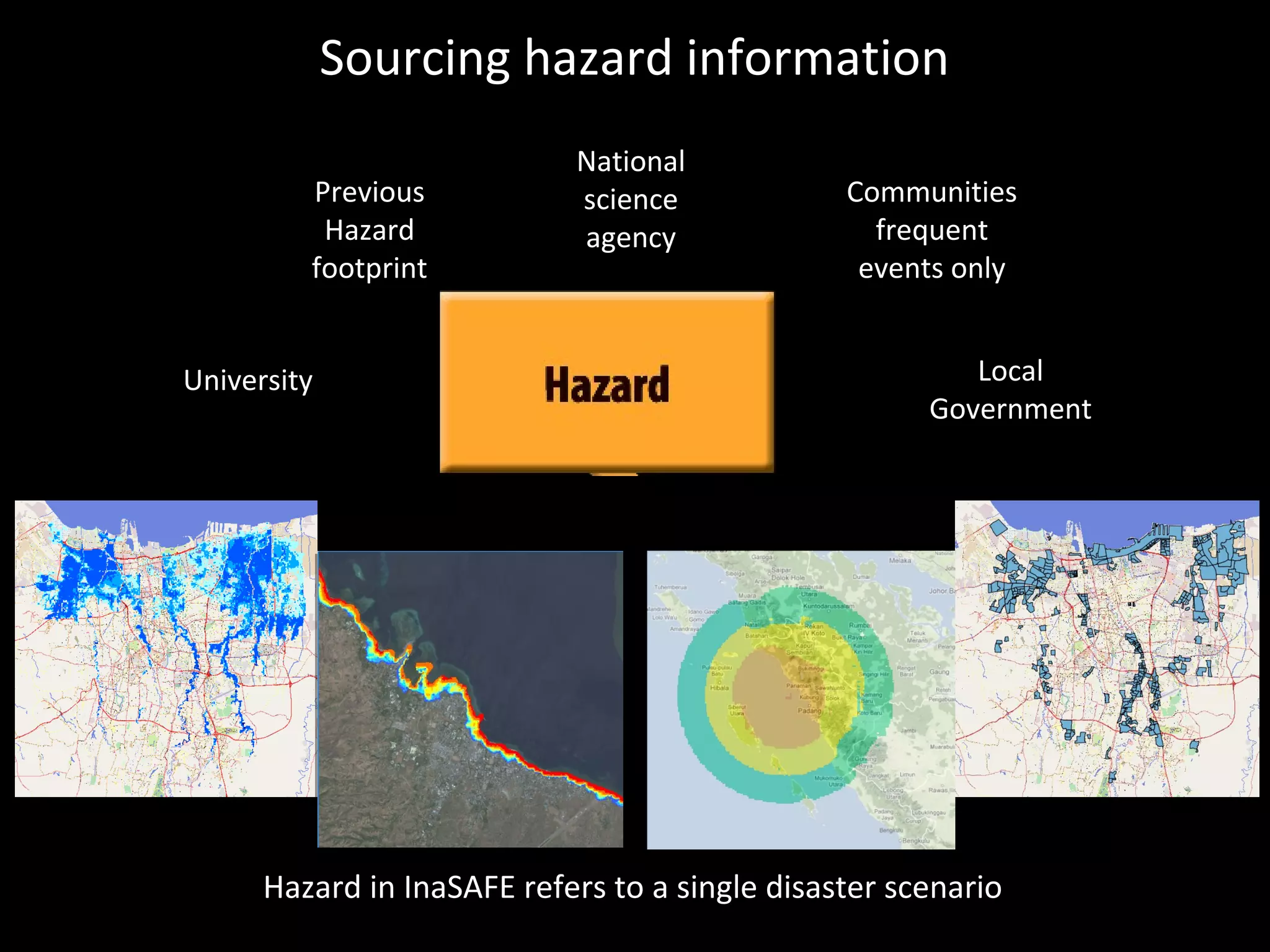
OpenStreetMap (OSM):
Mapping from the crowd and on the field
open data preparedness, crisis response and recovery
18/10/2013
Severin Menard
Humanitarian OpenStreetMap Team (AKA H.O.T.)
1

What is OpenStreetMap?
www.osm.org

OpenStreetMap is a web project aiming at creating a map of the entire world, accessible,
free and downloadable for anyone.
It has been started in 2004 by a student from UK.

=

+

It is based on the joint action of thousands of contributors working voluntarily.
Anyone can participate. +150,000 users created more than 2 billion nodes as of today.
The ongoing OSM contributions can be followed on http://live.openstreetmap.fr/
1

Mapping any feature existing in the field,
visible or not

OSM focuses on all the visible, physical objects like:
roads, buildings, land uses, facilities (health,
education..) shops, industries, water and sanitation,
natural spaces... but also not visible like administrative
boundaries or transportation lines.
OSM does not store information about populations
or sensitive data.
1

OSM governance

The ecosystem of the OSM community
Citizens
Associations
Local governments (ex: BNPB, the National Disaster Management Agency in
Indonesia)
NGOs
International Organizations (UN, WB, USAID, AUSAid)
Academia
Private actors:
Microsoft, Foursquare
Cloudmade, Geofabrik, Camptocamp, MapBox
•

•

The growth of the OSM project is fostered by
OpenStreetMap Foundation & local Chapters
Humanitarian OpenStreetMap Team for Humanitarian/Development contexts
•

•
1

OSM Wiki

http://wiki.openstreetmap.org
1

Free mapping and quality

Idea (same as Wikipedia): A large
number of individuals contributing
together will tend to create high
quality data.
Different kind of practises and
tools strengthen this:
●

Validation tools within editor

●

Quality control tools over an area

●

Easy access to each step of the
history of every object

Easy access to all the
contributions of every
cartographie Collaborativemapper
●

La

●

Possibility to revert any bad
contribution
Contributing to OSM:
1 Mapping over Imagery
1

Contributing to OSM: mapping over Imagery

Bing allows the OpenStreetMap contributors to trace over all its imagery.
1

Java Based OpenStreetMap Editor
http://josm.openstreetmap.de/

Can be easily enhanced, many plugins, works well with sporadic connectivity
Humanitarian benefit:
Baseline data from the crowd
in crisis contexts
1

OpenStreetMap and humanitarian data:
since the Haiti Earthquake in 2010

Port-au-Prince on OSM,
January 12, 2010

Port-au-Prince on OSM,
28 days later

Within a few days, the response of the OSM community to map the affected areas has
been intensive, as seen in this video.
1

A new interest from the humanitarian
organizations to work with the virtual, technical
communities
1

Coordination is part of the Digital Humanitarian Network
HOT
http://digitalhumanitarians.com
1

Coordinating tool: the OSM Wiki
http://wiki.openstreetmap.org/
1

Coordinating tool: the Tasking Manager
http://tasks.hotosm.org/
1

The outcome: a detailed baseline data
1

Data Export tool in various GIS formats:
HOT Exports
http://export.hotosm.org/
1

If a crisis arises, please do not hesitate to request
a Rapid Mapping from the HOT Community

hot@openstreetmap.org
Contributing to OSM:
2 Field mapping
1

Contributing to OSM: field mapping,
Mapping Parties
1

Tools to contribute in OSM:
GPS devices

Most Any GPS Will Work
1

Tools to contribute in OSM:
Walking of Field Papers
http://walking-papers.org/ or http://fieldpapers.org/

Printable Map
Collect Data by Writing
Scan and Upload
Edit for OpenStreetMap
1

Tools to contribute in OSM:
Survey forms fitting humanitarian
data models (ex: UNDIT for roads)
1

Tools to contribute in OSM:
Editors for smartphones

OsmTracker
- Routing
- Pedestrian
- Edits/Bugs
- Edits/Bugs
& transports

Vespucci
- light online editor
- online
- Edits/Bugs
1

Training materials: LearnOSM. for Beginners
to Advanced Mappers or Trainers
http://learnosm.org
Humanitarian benefit:
field collected data
1

Building mapping capacities
within the local communities
Field mapping in urban areas
Ex: Limonade, Haiti
Field mapping in urban areas
Ex: Limonade, Haiti
Field mapping in rural areas
Ex: Limonade, Haiti
Field mapping in rural areas
Ex: Limonade, Haiti
Field mapping in refugee camps
Ex: Gasorwe, Burundi
(in partnership with UNHCR)
Contributing to OSM:
3 Importing existing open data
1

A documented, reviewed process

http://wiki.openstreetmap.org/wiki/Import

A documented import process
An official agreement
monitored by a skilled Import
signed by the owner
Working Group
Humanitarian benefits:
no loss over the time, easy access,
living updatable data, avoids duplicates
1

Various organizations already released datasets

●
●
●
●

●

UN-JLC (Sudan, Haiti)
UN-FAO Africover
UNOSAT (Zaatari camp, Jordania)
UNICEF (Health, Education,
Watsan, Central African Republic)
WRI (Landuses, Central African
Republic)
4 Tools and services
for preparedness or crisis response
1

OpenStreetMap services:
a specific humanitarian rendering for OSM
1

OpenStreetMap services:
Walking of Field Papers
http://walking-papers.org/ or http://fieldpapers.org/
1

OpenStreetMap services:
Automatic Town Maps
http://maposmatic.org/
1

OpenStreetMap services:
Maps for GPS devices
1

OpenStreetMap services:
Maps for older GPS devices
1

OpenStreetMap services:
Maps for smartphones

OsmAND
- Routing
- Pedestrian
- Edits/Bugs
- Edits/Bugs
& transports
1

OpenStreetMap services:
Routing Tools
1

OpenStreetMap services:
Thematic maps
http://www.itoworld.com
1

OpenStreetMap services:
Customizable Point of Interest Maps
http://www.flosm.de/en/poi-map.html
1

HOT Export job covering all Malawi
http://export.hotosm.org/en/jobs/4843
InaSAFE Introduction

InaSAFE is a free software that produces realistic natural hazard impact
scenarios for better planning, preparedness and response activities.
Realistic Disaster Scenario informing Contingency
Planning
InaSAFE
Concept

www.inasafe.org
Sourcing hazard information
Previous
Hazard
footprint
University

National
science
agency

Communities
frequent
events only
Local
Government

Hazard in InaSAFE refers to a single disaster scenario
Questions?
severin.menard@hotosm.org
Slideshows?
slideshare.net/Sev_hotosm/

OpenStreetMap (OSM): Mapping from the crowd and on the field open data preparedness, crisis response and recovery

Editor's Notes

  • #2 {"49":"Conceptually InaSAFE combines one exposure layer such as buildings with one hazard scenario such as flooding and returns an impact layer along with textual statically summary\n","33":"<number>\n","50":"Conceptually InaSAFE combines one exposure layer such as buildings with one hazard scenario such as flooding and returns an impact layer along with textual statically summary\n","12":"Things built that benefit everyone\n","7":"<number>\n","35":"<number>\n","13":"Things built that benefit everyone\n","19":"<number>\n","48":"Conceptually InaSAFE combines one exposure layer such as buildings with one hazard scenario such as flooding and returns an impact layer along with textual statically summary\n","37":"<number>\n","26":"<number>\n","10":"<number>\n"}