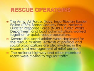
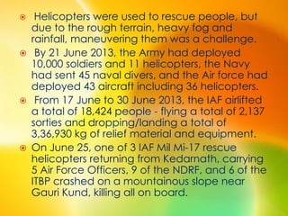
Downloaded 22 times


![ Fatalities:
About 5,700 (as of 16 July 2013)
Damages:
365 houses destroyed, 275 houses partially
damaged [in Uttrakand]
4,200 villages affected
Areas affected:
India (Uttarakhand, Himachal Pradesh, Uttar
Pradesh)
Nepal (Far Western Region, Mid Western
Region)](https://image.slidesharecdn.com/rajdeep-150817154710-lva1-app6892/85/North-India-Floods-4-320.jpg)

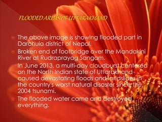
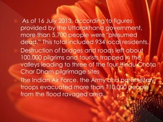
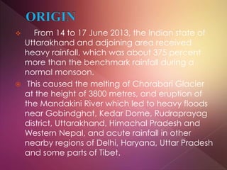
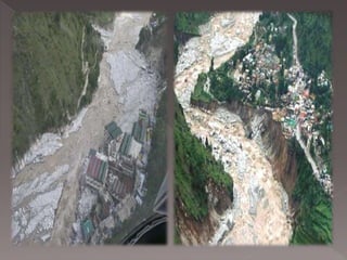
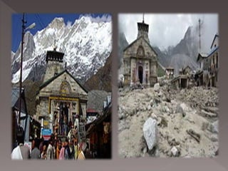

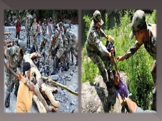
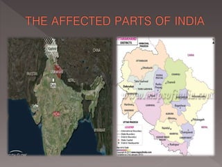


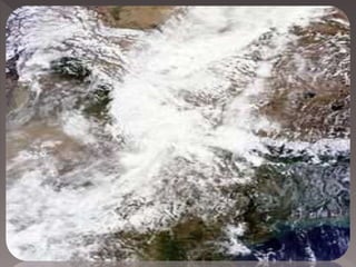
In June 2013, heavy rainfall and flooding in the Indian states of Uttarakhand and Himachal Pradesh caused widespread destruction. Over 5,700 people were presumed dead with thousands more stranded. The floods damaged or destroyed hundreds of villages, bridges and roads, leaving over 100,000 pilgrims and tourists trapped. Rescue efforts involving the Indian Air Force, Army and other groups evacuated over 110,000 people but the death toll continued rising. Environmental factors like deforestation and development activities were believed to have exacerbated the impact of the flooding.


