This document provides information about key concepts for understanding maps, including:
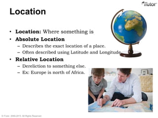
- Location can be described with absolute coordinates like latitude and longitude or relative to other locations.
- Lines of latitude and longitude divide the globe into a grid system and allow precise location identification.
- Common map distortions include changes to area, shape, distance, and direction of landmasses when representing a round Earth on a flat surface.
- Map orientation, scale, and choosing an appropriate level of detail for the purpose are important considerations.